The best road cycling routes around Draved Skov
26
riders
4
rides
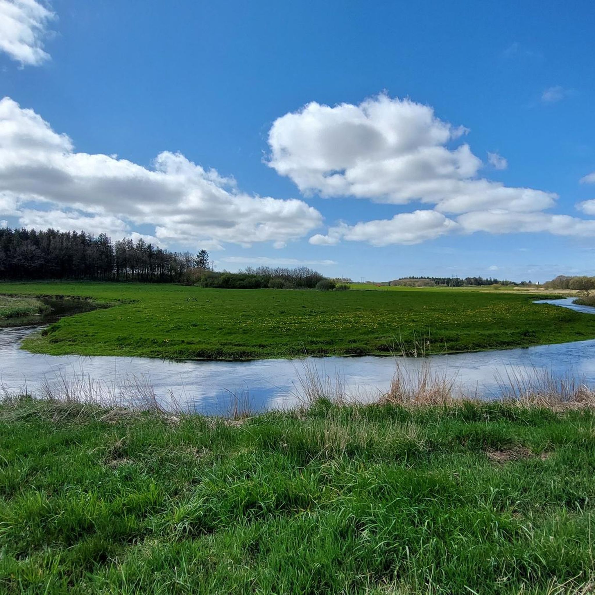
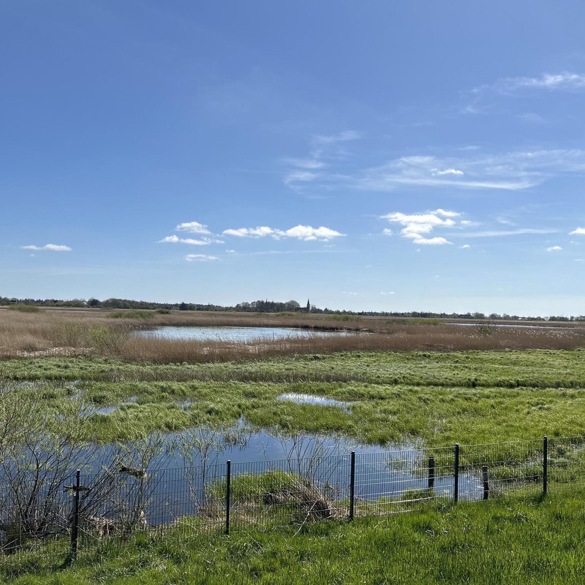
Road cycling around Draved Skov offers routes in the broader Southern Jutland region of Denmark. While Draved Skov itself, known for its primeval forest and soft, moist forest floor, is not suitable for cycling, the surrounding area provides paved surfaces and varied terrain. The landscape features varied soil conditions from the last ice age, including rich clay soil and low-lying sand dunes. These routes often connect charming towns and allow cyclists to experience the Danish landscapes.
Best road cycling routes around Draved Skov
- The most popular road cycling route is Uldgade, Tønder – Tønder Old Town loop from Løgumkloster, a 34.7 miles (55.8 km) trail that takes 2 hours 12 minutes to complete. This moderate route connects the town of Løgumkloster with Tønder's historic old town.
- Another top favourite among local road cyclists is Kagmanden Statue, Tønder – Südwesthörn bathing spot loop from Abild, a moderate 53.5 miles (86.1 km) path. This route offers a longer ride from Abild, passing through Tønder and leading to the Südwesthörn bathing spot.
- Local road cyclists also love the Uldgade, Tønder – Tønder Old Town loop from Tønder, a 32.8 miles (52.8 km) trail leading through Tønder's historic center, often completed in about 2 hours 3 minutes.
- Road cycling around Draved Skov is defined by charming towns, open Danish landscapes, and varied terrain. The network offers options for different ability levels, primarily featuring moderate routes.
- The guide includes highly-rated routes that showcase the best of the region's landscape. More than 20 road cyclists have used komoot to explore Draved Skov's varied terrain.
Last updated: October 11, 2026
7
riders
56.6km
02:17
110m
110m
Moderate road ride. Good fitness required. Some segments of this route may be unpaved and difficult to ride.
84.4km
03:21
110m
110m
Moderate road ride. Good fitness required. Some segments of this route may be unpaved and difficult to ride.

12
riders
52.5km
02:03
120m
120m
Moderate road ride. Good fitness required. Some segments of this route may be unpaved and difficult to ride.
4
riders
54.4km
02:10
110m
110m
Moderate road ride. Good fitness required. Some segments of this route may be unpaved and difficult to ride.
3
riders
60.4km
02:23
120m
120m
Moderate road ride. Good fitness required. Some segments of this route may be unpaved and difficult to ride.
Our route recommendations are based on thousands of hikes, rides, and runs completed by other people on komoot.
Start today with a free account
Your next adventure awaits.
Tips from the Community

He stands his ground!
0
0


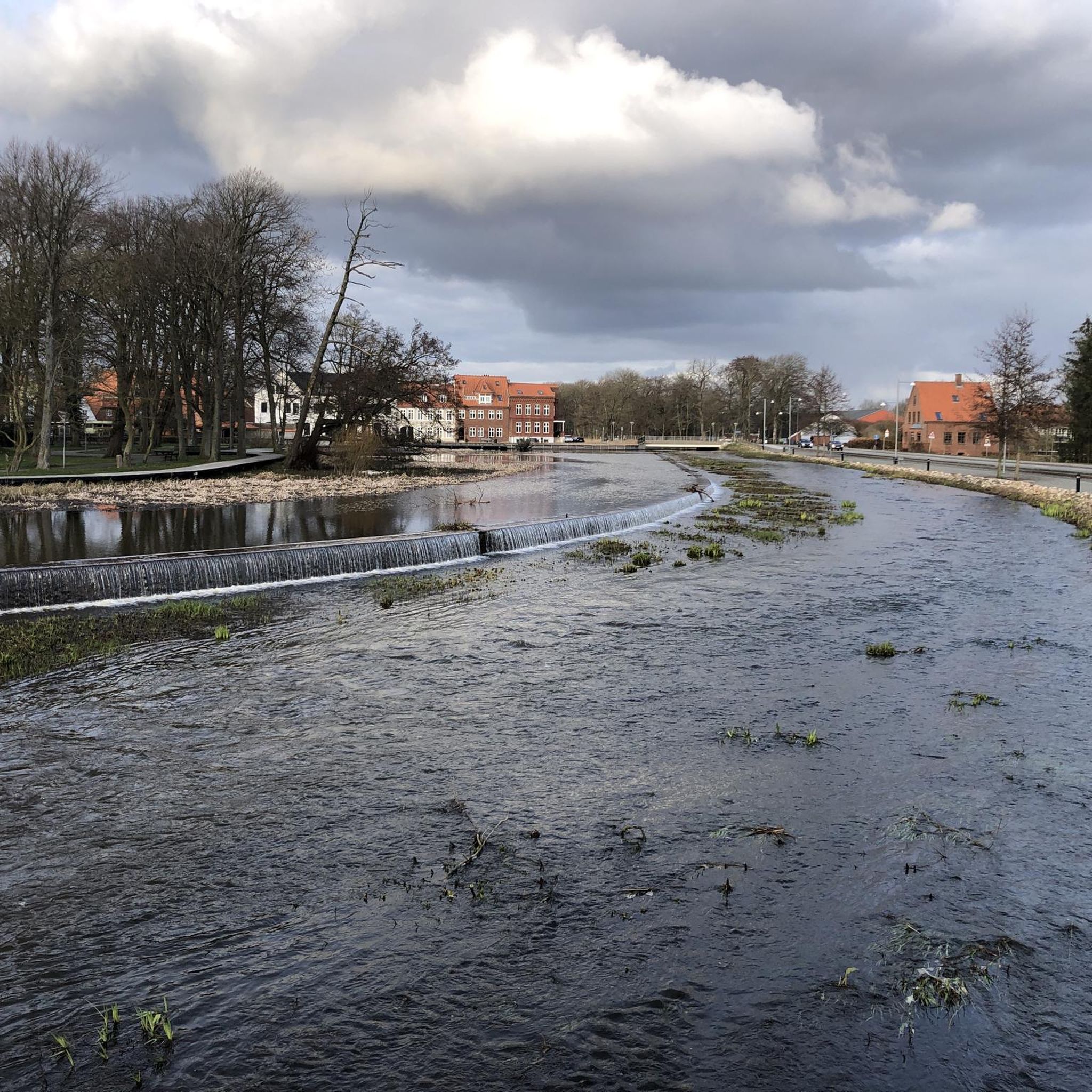
Tønder is a charming little town on the Vidå River near the German-Danish border. It forms the center of the municipality of Tønder in the Southern Denmark region.
0
0

A very beautiful place worth visiting. Depending on the weather, you can sit on the remains of the wall and enjoy the sun.
1
0

The city center of Tønder is always worth a stop.
0
0

An absolutely impressive and beautiful church. I have rarely seen anything so great.
0
0

A cute little street with great houses.
1
0

Slalom driving is the order of the day here. Please drive slowly past the sheep. If your average speed is important, it is better to drive behind the dyke. A gate has to be opened every few hundred meters. Mudguards become skid plates here. 😂
0
0
Frequently Asked Questions
What kind of terrain can I expect when road cycling around Draved Skov?
When road cycling in the region around Draved Skov, you can expect mostly paved surfaces. The landscape features varied soil conditions, a legacy of the last ice age, including rich clay soil and low-lying sand dunes. Routes often connect charming towns and offer open Danish landscapes, providing a diverse and scenic experience.
Are there any challenging road cycling routes near Draved Skov?
The road cycling routes around Draved Skov are generally classified as moderate. For example, the Kagmanden Statue, Tønder – Südwesthörn bathing spot loop from Abild is a longer, moderate path covering 53.5 miles (86.1 km). While there are no routes explicitly rated as 'difficult' in this guide, the longer distances can provide a good workout.
What are the typical elevation changes on road cycling routes in this area?
The road cycling routes around Draved Skov generally feature relatively gentle elevation changes. For instance, routes like the Uldgade, Tønder – Tønder Old Town loop from Løgumkloster have an elevation gain of approximately 110 meters over 34.7 miles (55.8 km), indicating a mostly flat to gently rolling landscape.
Can I find long-distance road cycling routes around Draved Skov?
Yes, there are several routes suitable for longer rides. The Kagmanden Statue, Tønder – Südwesthörn bathing spot loop from Abild is a notable example, covering 53.5 miles (86.1 km). Other routes, such as the Møgeltønder Church – Castle Street, Møgeltønder loop from Bredebro, also offer substantial distances of around 37 miles (60 km).
Are the road cycling routes around Draved Skov typically loop routes?
Yes, the routes featured in this guide are designed as loops, allowing you to start and finish at the same point. Examples include the Uldgade, Tønder – Tønder Old Town loop from Løgumkloster and the Tønder Old Town – Uldgade, Tønder loop from Tønder Nord.
What natural features or landmarks can I see while road cycling in the area?
While Draved Skov itself is not suitable for cycling, the surrounding region offers beautiful Danish landscapes. You'll pass through charming towns and open countryside. The area is also close to significant natural features like Kongens Mose, one of Denmark's largest raised bogs, which is important for birdlife and offers a bird tower for visitors.
Is Draved Skov suitable for cycling directly through the forest?
No, Draved Skov itself is not suitable for cycling. It is known for its untouched, primeval forest characteristics and a soft, often moist forest floor, making it ideal for hiking but not for bikes. The road cycling routes are designed to explore the broader region surrounding the forest.
What is the best time of year for road cycling around Draved Skov?
The best time for road cycling in Southern Jutland, including the area around Draved Skov, is typically during the warmer months from spring to early autumn (April to October). During this period, the weather is generally milder, and the landscapes are vibrant. Always check local weather forecasts before heading out.
Are there any family-friendly road cycling options in the Draved Skov area?
The routes in this guide are generally moderate in difficulty and range from about 33 to 53 miles (53 to 86 km) in length. While they are not specifically designated as 'easy' or 'family-friendly' for young children, families with older, experienced cyclists may find them enjoyable. For shorter, easier rides, you might consider exploring local paths within towns like Tønder.
Where can I find parking for road cycling routes near Draved Skov?
Many of the road cycling routes start from towns such as Løgumkloster, Abild, or Tønder. These towns typically offer public parking facilities where you can leave your vehicle. It's advisable to check specific parking options for your chosen starting point before your trip.
Can I spot wildlife while road cycling around Draved Skov?
While road cycling, you'll be in the open Danish landscape, which offers opportunities to observe local fauna. The broader region, particularly areas like Kongens Mose adjacent to Draved Skov, is known for its rich birdlife, including rare wading birds and migratory species. You might also spot animals like foxes or red squirrels in the more rural sections.
Are there cafes or places to stop for refreshments along the road cycling routes?
The road cycling routes often connect charming towns such as Løgumkloster and Tønder. These towns provide opportunities to stop for refreshments, including cafes, bakeries, and restaurants. Planning your route to pass through these towns will ensure you have options for breaks and meals.

Get inspired with the komoot mobile app


Explore more
Browse the best Road cycling routes in other regions.
