The best road cycling routes around Provinciaal Recreatiedomein Zilvermeer
4.4
(103)
6,379
riders
299
rides
Road cycling routes around Provinciaal Recreatiedomein Zilvermeer traverse a largely flat landscape characterized by forests, canals, and open countryside. The region offers gentle gradients, making it suitable for various skill levels. Routes often follow waterways and pass through small towns, providing a mix of natural and cultural scenery.
Best road cycling routes around Provinciaal Recreatiedomein Zilvermeer
- The most popular road cycling route is Graffiti in Tunnel loop from Balen, a 7.0 miles (11.3 km) trail that takes 45 minutes…
Last updated: July 8, 2026
4.0
(4)
100
riders
Easy road ride. Great for any fitness level. Mostly well-paved surfaces and easy to ride.
20
riders
Easy road ride. Great for any fitness level. Mostly well-paved surfaces and easy to ride.

Sign up for free
17
riders
Moderate road ride. Great for any fitness level. Some segments of this route may be unpaved and difficult to ride.
7
riders
Easy road ride. Great for any fitness level. Mostly well-paved surfaces and easy to ride.
21
riders
Easy road ride. Great for any fitness level. Mostly well-paved surfaces and easy to ride.
Get access to more routes and recommendations from other explorers.
Sign up for free
Already have an account?
Our route recommendations are based on thousands of hikes, rides, and runs completed by other people on komoot.
Start today with a free account
Your next adventure awaits.
Login or Signup
Popular around Provinciaal Recreatiedomein Zilvermeer
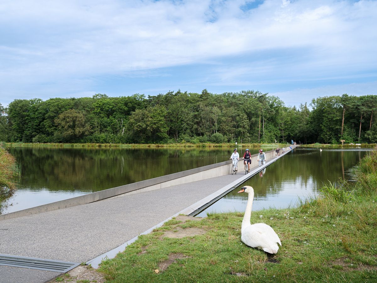
Flanders' Finest Cycle Routes: routes to discover Flemish nature and heritage
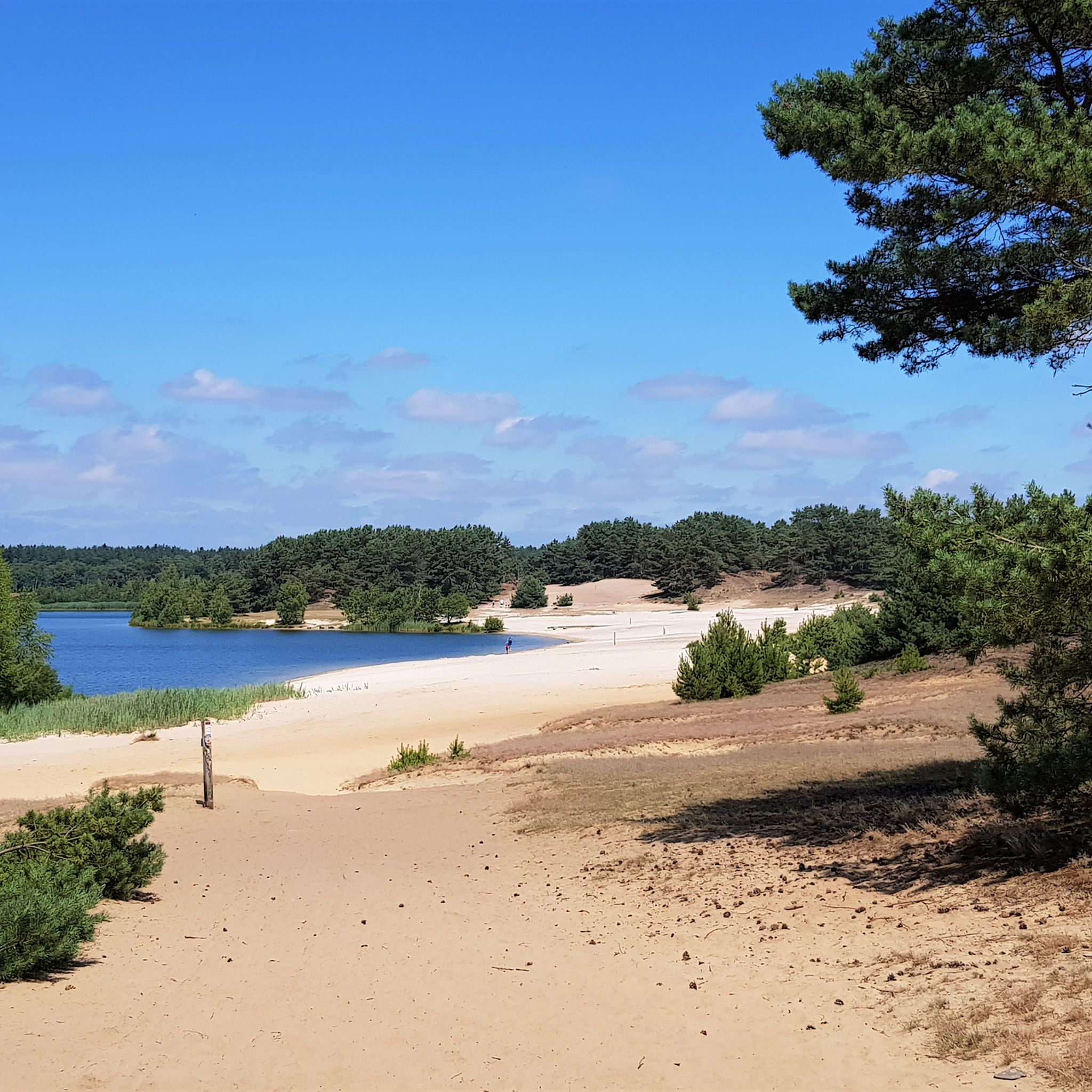
Hiking around Provinciaal Recreatiedomein Zilvermeer
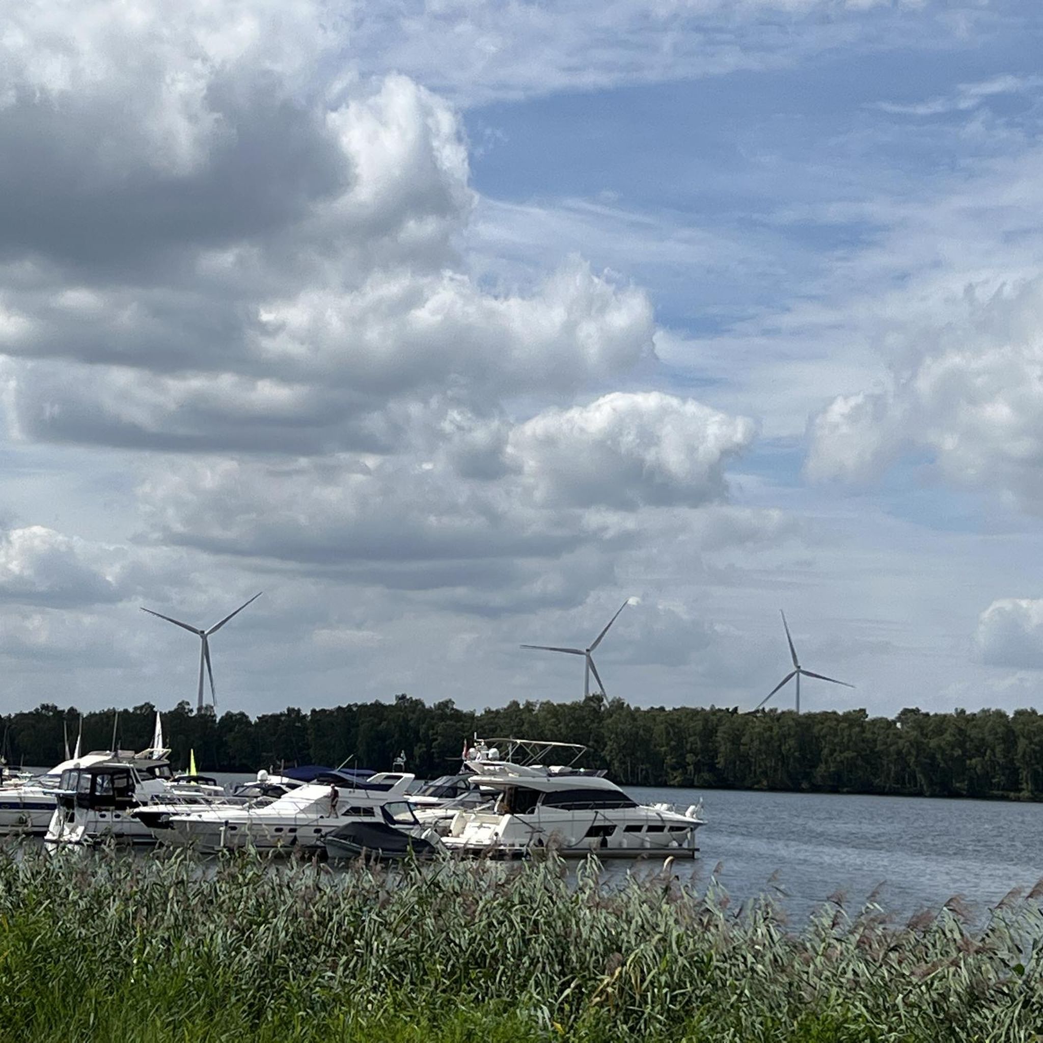
Running Trails around Provinciaal Recreatiedomein Zilvermeer
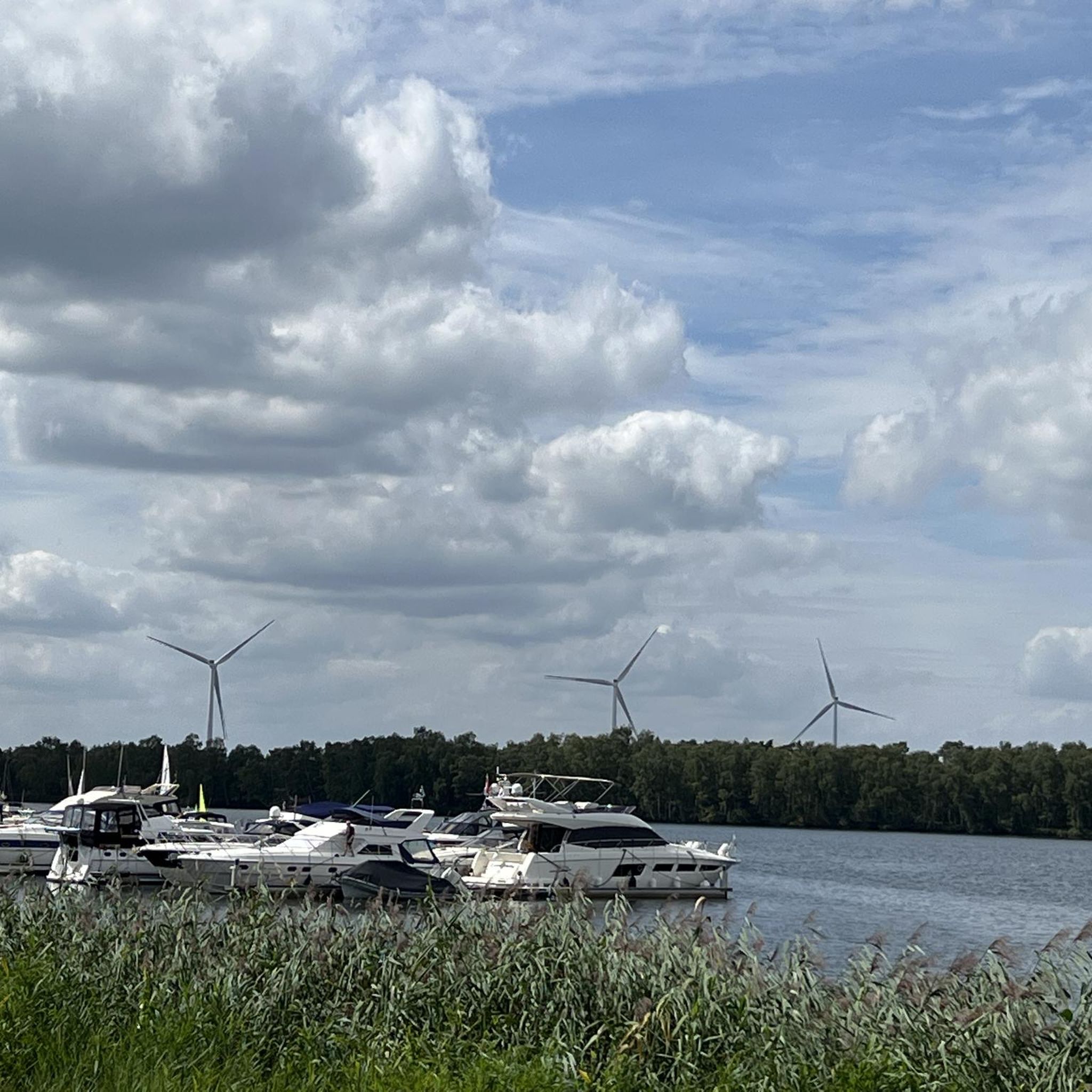
Cycling around Provinciaal Recreatiedomein Zilvermeer
MTB Trails around Provinciaal Recreatiedomein Zilvermeer

Gravel biking around Provinciaal Recreatiedomein Zilvermeer
Other adventures around Provinciaal Recreatiedomein Zilvermeer

Tips from the Community

The Bailey Bridge in Mol At the beginning of World War II, the bridges on the Kempen canals were blown up. With the liberation, the British built a temporary bridge in Mol, which still stands today. The bridge is a so-called Bailey bridge, named after its designer, R.C. Bailey. He developed this ingenious, modular bridge for military purposes. A Bailey bridge can be assembled without machinery, using only manpower. Such a bridge is actually only meant to be there for a short time, but in some places, such as in Mol, it remained. The pillars of the old bridge are still clearly visible.
0
0

Definitely climb the tower – assuming you're not afraid of heights – and don't just drive past it!
0
0

Whichever way you go, the water will continue to follow you...
5
0

Beautiful ride with nice and less nice roads (loose sand).
2
0

Watch out because fast bikes are fast
2
0

Very nice cycle paths along the various canals.
2
0

The Sas'toren is a remnant of a historic lock complex that once played an important role in water management and shipping along the Nete in Duffel. The tower has both practical and symbolic value and is a reminder of Duffel's past as a waterway junction. Origin: The tower was built in the 16th or 17th century as part of a lock construction along the Nete. It was a crucial place for regulating water levels and supporting the local economy. Function: Lock operation: The tower was connected to locks that were used to regulate water levels, so that shipping and agriculture could be supported. Checkpoint: It was also a strategic place to collect tolls and monitor ships passing through the lock. Defensive function: In times of conflict, the tower offered protection and played a role in the defense of Duffel and the surrounding areas. Architecture Style: The Sas'toren is built of brick and has a robust and functional design that is typical for constructions with a water management function. Characteristics: Thick walls and narrow openings that made the tower defensible. A relatively simple but sustainable building style, focused on functionality. The Sas'toren Today Tourist value: The tower is a popular landmark for walkers, cyclists and history buffs exploring the region around the Nete. Heritage: It is a symbol of Duffel's industrial and maritime past and is part of the local heritage. Restoration: The tower has been restored over the years to preserve it as a historical monument and as a reminder of the time when waterways were the lifelines of Flanders.
1
0
Frequently Asked Questions
How many road cycling routes are available around Provinciaal Recreatiedomein Zilvermeer?
There are over 400 road cycling routes in the area around Provinciaal Recreatiedomein Zilvermeer, offering a wide variety of options for different skill levels and preferences.
What is the general difficulty level of road cycling routes in this region?
The region is largely flat, making many routes suitable for all skill levels. There are 86 easy routes, 290 moderate routes, and 47 more challenging routes with slightly more elevation gain for experienced cyclists.
Are there easy or family-friendly road cycling routes available?
Yes, the area is well-suited for easy and family-friendly rides due to its flat terrain. An excellent option is the Graffiti in Tunnel loop from Balen, which is 7.0 miles (11.3 km) long and features a unique tunnel section.
What kind of scenery can I expect on road cycling routes around Provinciaal Recreatiedomein Zilvermeer?
You can expect a diverse landscape characterized by forests, canals, and open countryside. Routes often follow waterways and pass through small towns, offering a mix of natural beauty and cultural sights.
Are there any routes with notable landmarks or points of interest?
Many routes offer scenic views and pass by interesting spots. For example, the ZEN in Mol Sign at Kanaalplas – SAS4 Observation Tower loop from Natuurreservaat Het Stort provides views of Kanaalplas and the SAS4 Observation Tower. You might also encounter highlights like the View of the lake or the Cycle path along Zilvermeer and Mol Marina.
What do other road cyclists say about the routes in Provinciaal Recreatiedomein Zilvermeer?
The routes are highly rated by the komoot community, with an average score of 4.25 stars from over 110 reviews. Cyclists often praise the quiet, well-maintained paths through forests and along canals, as well as the generally flat and accessible terrain.
Are the road cycling routes typically circular?
Yes, many of the road cycling routes in the area are designed as loops, allowing you to start and end at the same point. Examples include the Scenic Countryside Bike Road – Wide cycle path through the forest loop from Natuurreservaat Het Stort and the SAS4 Observation Tower – Jagershof Bailey Bridge loop from Mol Distelstraat.
What is the best season for road cycling in Provinciaal Recreatiedomein Zilvermeer?
Spring and autumn generally offer the most pleasant conditions for road cycling, with milder temperatures and beautiful scenery. Summer can also be enjoyable, especially on routes that offer shade from forests. Always check the local weather forecast before heading out.
Are there any longer road cycling routes for endurance training?
Yes, for those looking for longer rides, there are options like the Molen van 't Veld – Hollow Road and Climb loop from Mol Hulststraat, which covers 46.9 miles (75.4 km) and includes some slight elevation changes, making it a moderate challenge.
Can I find places to stop for refreshments along the routes?
Many routes pass through or near small towns and villages, where you can often find cafes or shops to stop for refreshments. The region's network of paths makes it easy to explore local amenities.
Are there any routes that offer a bit more elevation gain for a challenge?
While the region is largely flat, some routes do offer slightly more elevation. The Molen van 't Veld – Hollow Road and Climb loop from Mol Hulststraat, for instance, has over 100 meters of elevation gain, providing a more varied ride compared to the flatter options.
Most popular routes around Provinciaal Recreatiedomein Zilvermeer
Most popular attractions around Provinciaal Recreatiedomein Zilvermeer

Get inspired with the komoot mobile app


Explore more
Browse the best Road cycling routes in other regions.
