The best running trails around Terril "Le martinet"
4.4
(217)
11,992
runners
483
runs
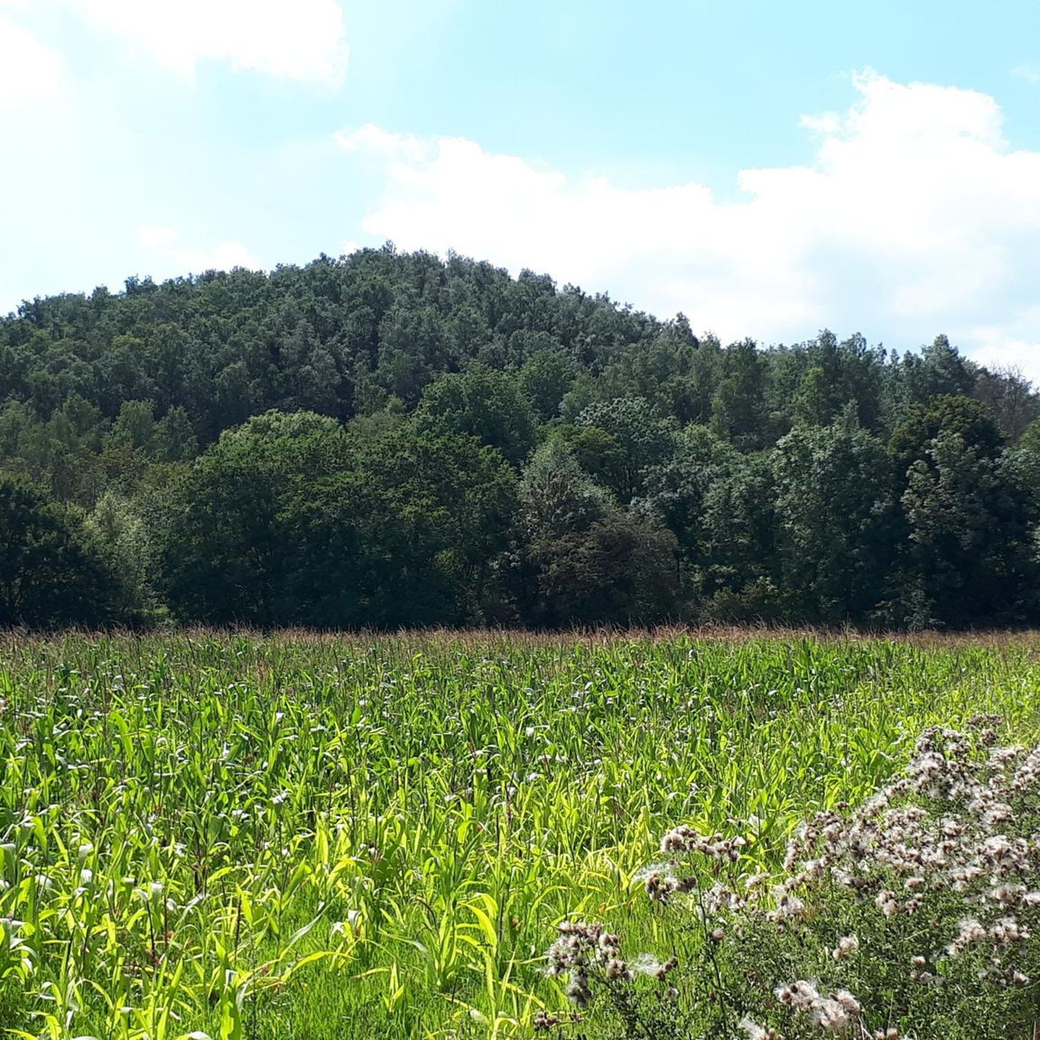
Jogging around Terril "Le martinet" offers routes through a unique landscape of re-naturalized industrial sites. This area features conical, wooded spoil heaps, with the main terril reaching an altitude of 215 meters, providing panoramic views over the Charleroi basin. The terrain includes diverse ecosystems, wetlands, and disused railway lines now part of the RAVeL network, all shaped by its mining past.
Best jogging routes around Terril "Le martinet"
- The most popular jogging route is Monceau Castle loop from Marchienne-au-Pont,…
Last updated: August 20, 2026
4.7
(3)
113
runners
25.0km
02:46
240m
240m
Hard run. Very good fitness required. Mostly paved surfaces. Suitable for all skill levels.
39
runners
9.68km
01:05
110m
110m
Moderate run. Good fitness required. Mostly paved surfaces. Suitable for all skill levels.

Sign up for free
16
runners
7.48km
00:49
70m
70m
Moderate run. Good fitness required. Mostly paved surfaces. Suitable for all skill levels.
83
runners
28.1km
03:12
390m
390m
Hard run. Very good fitness required. Mostly paved surfaces. Suitable for all skill levels.
59
runners
15.7km
01:49
250m
250m
Hard run. Very good fitness required. Mostly paved surfaces. Suitable for all skill levels.
Get access to more routes and recommendations from other explorers.
Sign up for free
Already have an account?
Our route recommendations are based on thousands of hikes, rides, and runs completed by other people on komoot.
Start today with a free account
Your next adventure awaits.
Login or Signup

Tips from the Community

Culturally very interesting. Allows you to learn more about the region's mining past!
0
0

Very beautiful park and woods
0
0


A "Terminator" atmosphere for a city that's fallen victim to the decay of its industrial activity. Even if it's a far cry from the bucolic atmosphere, these industrial wastelands have a certain "charm"... as long as you're even slightly open-minded... ;-)
1
0
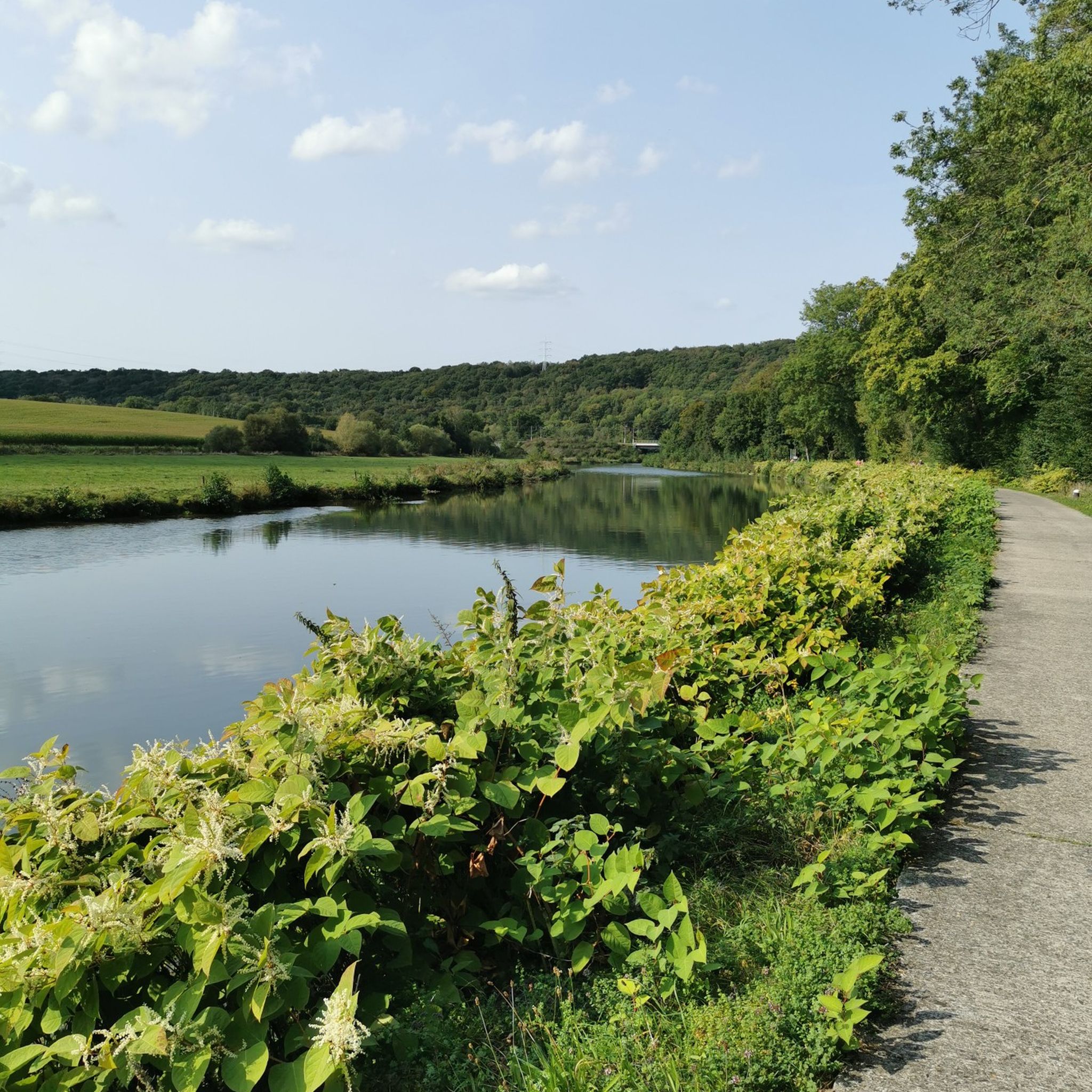
The Eau d'Heure flows into the Sambre at Marchienne-au-Pont. This river gave rise to the Eau d'Heure Dam complex. The location is strange, in an industrial zone, with the Charleroi light rail passing overhead.
0
0

Worth seeing on the Sambre.
5
0

Lovely little chapel on the edge of Dampremy.
2
0
According to Google Maps, there is an authority in it.
4
0
Frequently Asked Questions
What kind of terrain can I expect when running in Terril "Le martinet"?
The terrain at Terril "Le martinet" is unique, characterized by re-naturalized industrial landscapes, including conical, wooded spoil heaps. You'll find a mix of pathways, some marked, traversing diverse ecosystems, wetlands, and disused railway lines that are now part of the RAVeL network. Surfaces can vary, reflecting the site's transformation from an industrial area to a natural reserve.
Are there running routes suitable for beginners or those looking for an easier jog?
Yes, Terril "Le martinet" offers a variety of routes for different ability levels. While many routes are moderate or difficult, there are 35 easy routes available. For example, the 5.5 km (3.4 miles) 'Boucle Sommet Les Dunes Noires – Le Grand Terril' is an easy trail offering views from the main terril's summit, and the 'Boucle du banc de repos' is another easy 5.0 km (3.1 miles) loop.
What are some notable landmarks or points of interest I might see while jogging?
As you run through Terril "Le martinet", you'll encounter a fascinating blend of nature and history. The main terril itself offers panoramic views over the Charleroi basin and the Sambre valley. You can also observe impressive remnants of iron and concrete, vestiges of its mining past, including the integrated ruin of the old engine room. The area's transformation from an active mine to a natural reserve is a key feature.
Can I bring my dog on the running trails at Terril "Le martinet"?
The region research indicates that Terril "Le martinet" is a popular spot for outdoor activities, and many natural areas in Wallonia are dog-friendly. While specific leash rules are not detailed, it's generally advisable to keep dogs on a leash to protect the diverse flora and fauna, which includes rare plant species and various wildlife like newts and the natterjack toad.
How many running routes are available in Terril "Le martinet"?
There are over 400 running routes available in Terril "Le martinet", offering a wide range of options for joggers of all levels. This includes 35 easy routes, 335 moderate routes, and 48 difficult routes for those seeking a greater challenge.
What do other runners enjoy most about jogging in Terril "Le martinet"?
The running routes in Terril "Le martinet" are highly rated by the komoot community, with an average score of 4.4 stars from over 160 reviews. Runners often praise the unique landscape, which combines re-naturalized industrial sites with diverse ecosystems, and the variety of trails suitable for different fitness levels. The panoramic views from the main terril are also a frequently mentioned highlight.
Are there any long-distance running options or trails that connect to other areas?
Yes, the site is crossed by the GR412 long-distance hiking trail, known as the "Sentier des terrils" (Trail of the Spoil Tips). This trail connects major mining heritage sites in Wallonia, offering opportunities for longer runs and exploring beyond the immediate Terril "Le martinet" area.
Is it possible to access the running trails using public transport?
The region research mentions that disused railway lines are now part of the RAVeL network, which often integrates with public transport options. While specific public transport stops directly at trailheads are not detailed, the area is accessible, and you may find connections to nearby towns like Roux or Marchienne-au-Pont, from where you can reach the terril.
Where can I park my car when visiting Terril "Le martinet" for a run?
While specific parking locations are not detailed in the provided information, popular outdoor areas like Terril "Le martinet" typically have designated parking areas near main trailheads or access points. It's advisable to check local signage or online maps for parking facilities close to your chosen starting point, especially if you are beginning a route from towns like Roux or Marchienne-au-Pont.
Are there any circular running routes available?
Yes, many of the routes in Terril "Le martinet" are designed as loops, perfect for circular runs. Examples include the Monceau Castle loop from Marchienne-au-Pont, a 9.2 km (5.7 miles) trail, and the Along the Canal – Les Petits Sarts loop from Roux, a moderate 14.4 km (9.0 miles) path. The 'Boucle du banc de repos' is also an easy 5.0 km loop.
What is the best time of year to go jogging at Terril "Le martinet"?
Terril "Le martinet" can be enjoyed year-round, but each season offers a different experience. Spring and autumn provide pleasant temperatures and vibrant scenery, with diverse flora and fauna. Summer can be warm, so consider early morning or late afternoon runs. Winter runs can be beautiful, but trails might be muddy or slippery, especially on the terrils. The site's unique ecological environments are dynamic throughout the year.
Are there options for longer, more challenging trail runs?
Absolutely. For experienced runners seeking a challenge, Terril "Le martinet" offers 48 difficult routes. A notable option is the Former Martinet mining site loop from Roux, which is 15.7 km (9.7 miles) long with significant elevation gain, typically taking around 1 hour 49 minutes. Another challenging route is the 'Le petit terril – Terrils du Martinet loop from Roux', a 15.5 km run with 240m elevation gain.
Most popular routes around Terril "Le martinet"

Get inspired with the komoot mobile app


Explore more
Browse the best Running Trails & Routes in other regions.
