The best walks and hikes around Niederung
4.6
(1197)
8,852
hikers
10
hikes
Hiking around Niederung, located at the southwestern edge of the Eisenerzer Alps in Upper Styria, Austria, offers a diverse landscape for outdoor enthusiasts. This region is characterized by mountainous terrain, forming a small mountain massif with a pass landscape west of Leoben's city center. It serves as a popular local recreation area, featuring marked hiking trails and sections of the Austrian Long-Distance Hiking Trail 05. The area provides varied terrain suitable for different ability levels.
Best hiking trails around Niederung
…Last updated: June 27, 2026
5.0
(2)
30
hikers
10.3km
02:55
220m
220m
Moderate hike. Good fitness required. Easily-accessible paths. Suitable for all skill levels.
5.0
(1)
25
hikers
3.62km
01:09
150m
150m
Easy hike. Great for any fitness level. Easily-accessible paths. Suitable for all skill levels.

Sign up for free
3.7
(3)
17
hikers
3.36km
01:08
150m
150m
Moderate hike. Great for any fitness level. Mostly accessible paths. Sure-footedness required.
5.0
(4)
13
hikers
11.7km
03:41
460m
460m
Moderate hike. Good fitness required. Mostly accessible paths. Sure-footedness required.
5.0
(2)
11
hikers
3.00km
01:01
140m
140m
Moderate hike. Great for any fitness level. Mostly accessible paths. Sure-footedness required.
Get access to more routes and recommendations from other explorers.
Sign up for free
Already have an account?
Our route recommendations are based on thousands of hikes, rides, and runs completed by other people on komoot.
Start today with a free account
Your next adventure awaits.
Login or Signup
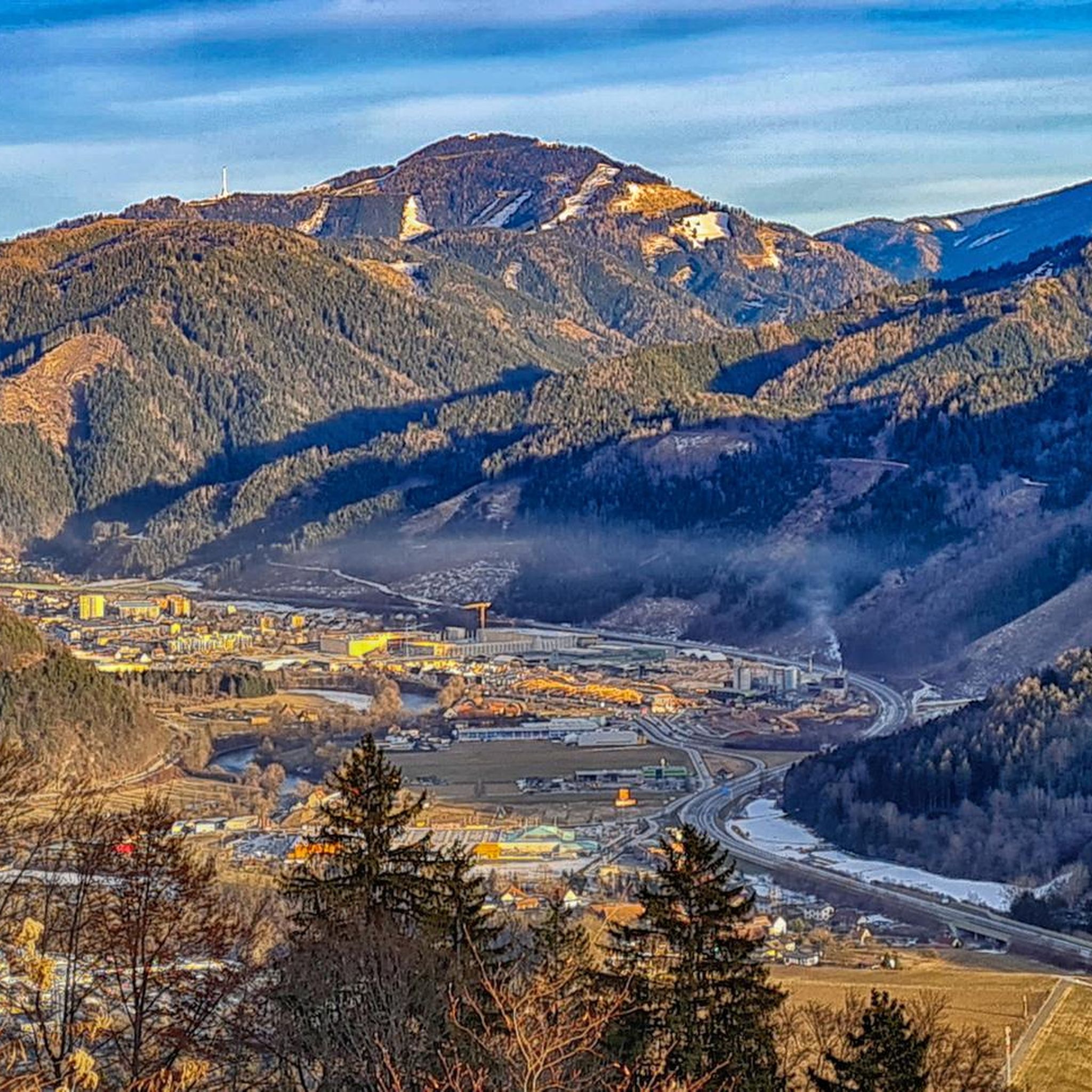
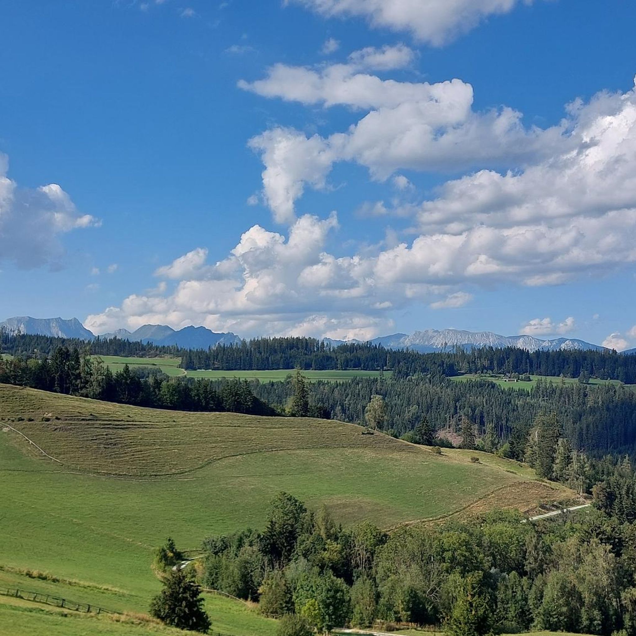
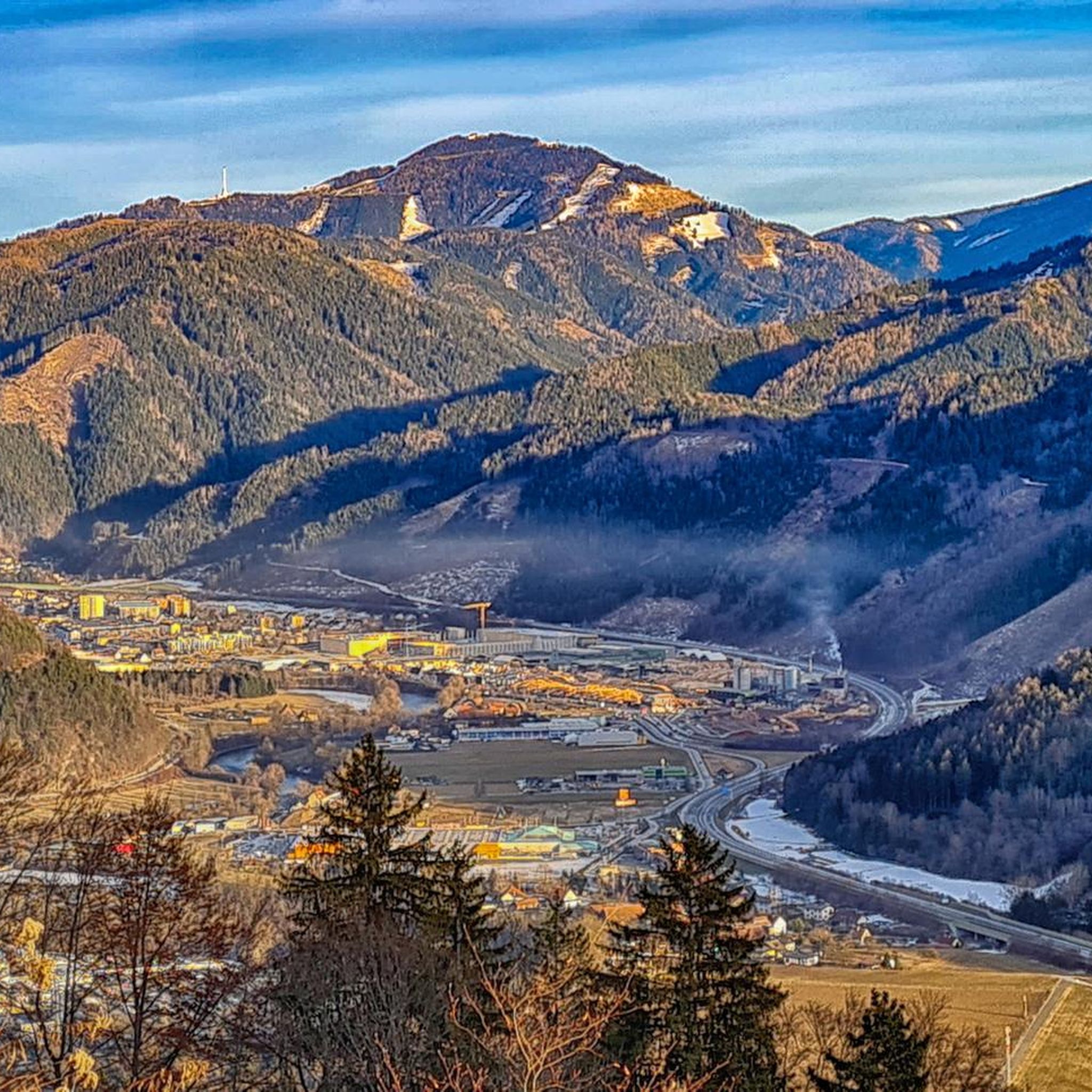
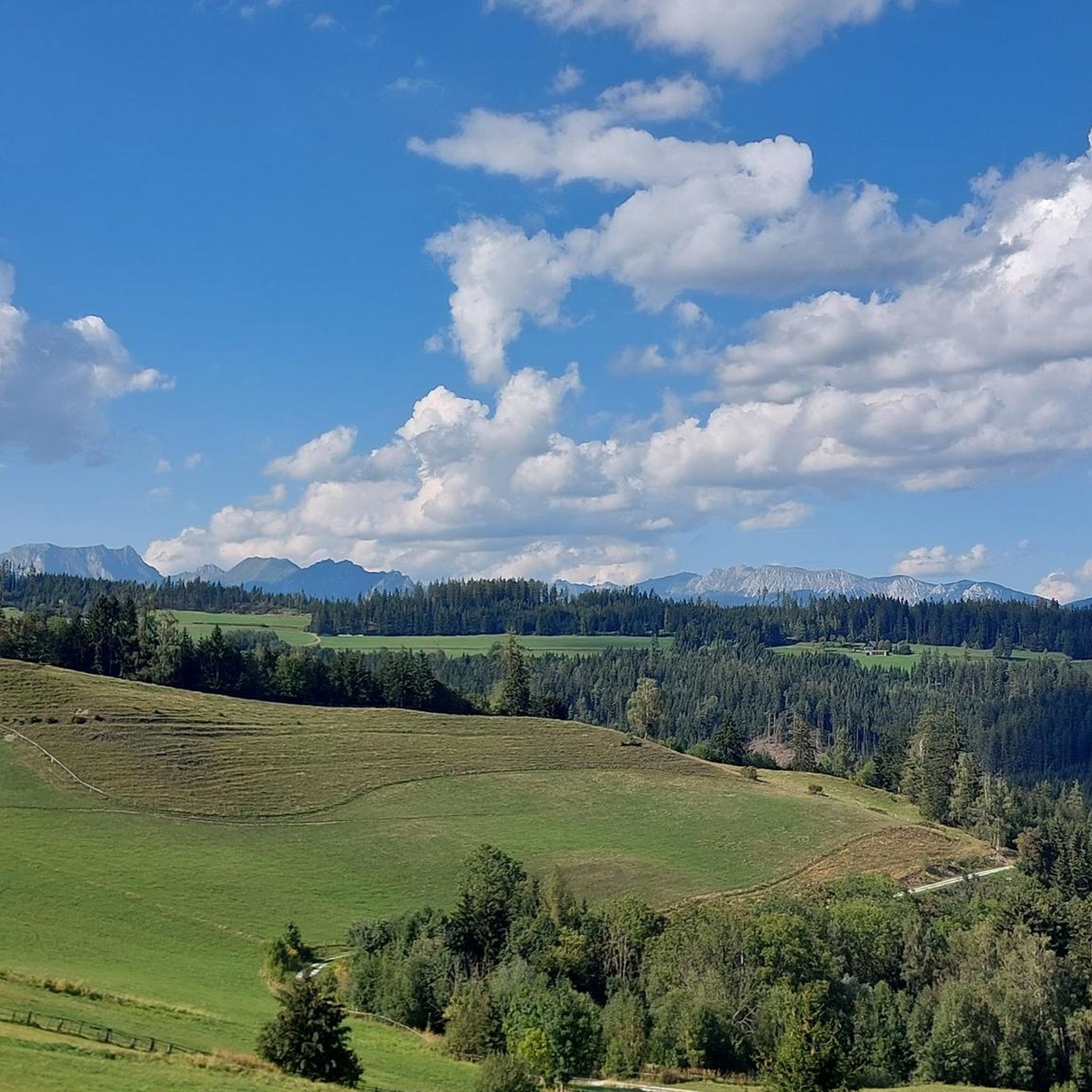

Tips from the Community

Are several tours marked
0
0
Here you can find regional food directly from the farmers.
1
0

Very nice, short hike - also for small children. The Platzerl at the Schillerkreuz invites you to linger.
1
0

As a newcomer it is definitely a highlight for hikers
1
0

Within a few minutes, the Schillerkreuz offers a beautiful view over Leoben-Hinterberg.
2
0
Frequently Asked Questions
How many hiking trails are available in Niederung?
There are 12 hiking routes available in Niederung, offering a variety of experiences for outdoor enthusiasts. These trails are highly rated by the komoot community, with an average score of 4.7 stars.
What are the typical difficulty levels of hikes in Niederung?
The hiking trails in Niederung primarily range from easy to moderate. The guide data shows 7 easy routes and 5 moderate routes, making it accessible for various fitness levels. There are no difficult routes listed in this specific area.
Are there any circular hiking routes in Niederung?
Yes, many of the trails in Niederung are designed as circular routes. For example, you can explore the Your Little Farm Shop – Hiking Trails Map of Leoben loop from Donawitz or the Schillerkreuz Viewpoint loop from Leoben, both offering scenic loops through the landscape.
What kind of natural features or landmarks can I expect to see while hiking in Niederung?
Niederung, located at the edge of the Eisenerzer Alps, is characterized by mountainous terrain and a distinct 'pass landscape'. While hiking, you'll experience the natural beauty of Upper Styria. The area is also part of a popular local recreation zone, offering scenic views and a tranquil environment.
Is Niederung suitable for family-friendly hikes?
Yes, Niederung offers several easy hiking trails that are well-suited for families. With 7 easy routes available, you can find paths with minimal elevation gain and shorter distances, perfect for outings with children. The area's designation as a local recreation area also suggests a welcoming environment for all ages.
Are dogs allowed on the hiking trails in Niederung?
Generally, dogs are welcome on hiking trails in Austria, especially in natural recreation areas like Niederung. However, it's always advisable to keep them on a leash, especially in areas with wildlife or near agricultural land, and to clean up after them. There are no specific restrictions mentioned for this region.
How long do hikes in Niederung typically take?
Hikes in Niederung vary in duration depending on the route. Shorter, easy loops like the Schillerkreuz Viewpoint loop from Leoben can be completed in about 1 hour 8 minutes. Longer, moderate trails such as the Your Little Farm Shop – Hiking Trails Map of Leoben loop from Donawitz might take around 2 hours 55 minutes.
What is the best time of year to go hiking in Niederung?
Given its mountainous terrain in Upper Styria, the best time for hiking in Niederung is typically from late spring through early autumn (May to October). During these months, the weather is generally milder, and trails are clear of snow, offering optimal conditions for exploration. Winter hiking is possible but may require appropriate gear for snow and ice.
Are there options for public transport to access hiking trails in Niederung?
Yes, the Niederung area, being part of Sankt Peter-Freienstein and Leoben municipalities, is accessible. The path over the Niederung is designated as a cycle path (LN9), and the route towards Traboch is a marked hiking trail, suggesting good connectivity. For specific trailheads, checking local bus schedules in Leoben would be recommended.
Is parking available near the trailheads in Niederung?
As a popular local recreation area, it is generally expected that parking facilities are available near common trailheads in Niederung, especially for routes originating from towns like Leoben or Donawitz. However, specific parking details can vary by starting point, so it's always good to check local signage upon arrival.
Are there any permits required for hiking in Niederung?
No, there are no specific permits required for general hiking on the trails in Niederung. As a local recreation area with marked hiking paths, it is freely accessible to the public. Always respect local regulations and private property.
What do other hikers say about their experience in Niederung?
The komoot community highly rates hiking in Niederung, with an impressive average score of 4.7 stars from over 900 reviews. Hikers often praise the diverse terrain, the well-maintained paths, and the scenic views of the mountainous landscape, making it a favorite for both locals and visitors.
Does the Austrian Long-Distance Hiking Trail 05 pass through Niederung?
Yes, the Austrian Long-Distance Hiking Trail 05, also known as the Nord-Süd-Weitwanderweg, traverses the Niederung area. This offers opportunities for longer treks, with sections leading from Trabocher See upwards, past Kapelle and Bergling, and eastward towards Leoben.
Most popular routes around Niederung

Get inspired with the komoot mobile app


Explore more
Browse the best Hikes in other regions.
