The best walks and hikes around Bluntautal
4.5
(12088)
57,232
hikers
285
hikes
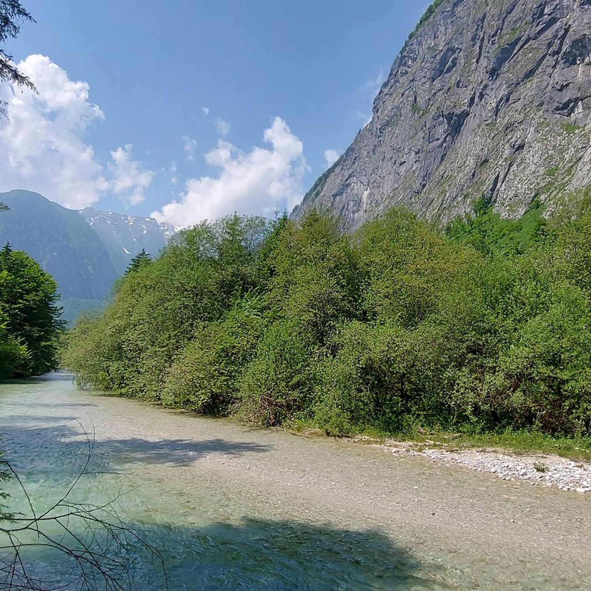
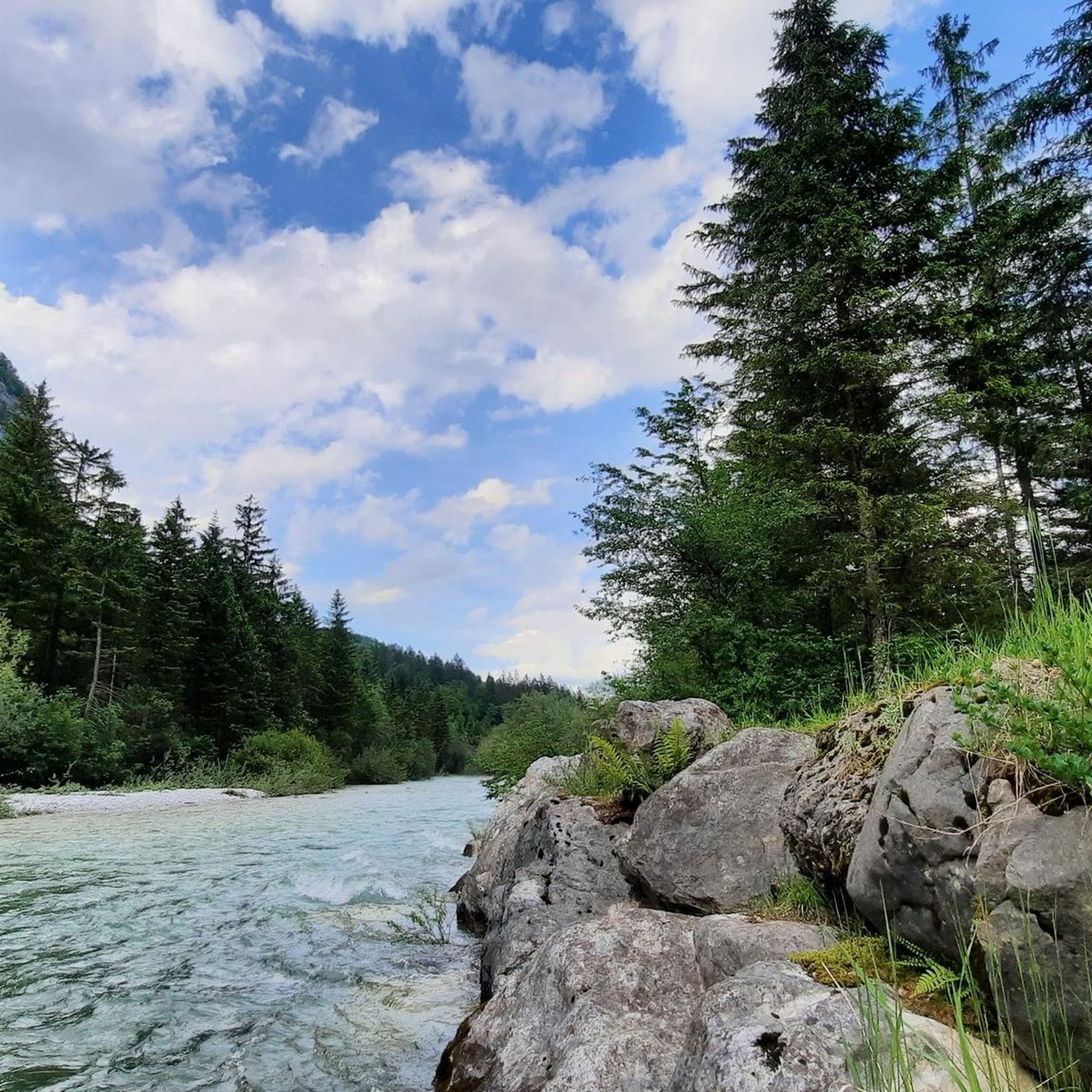
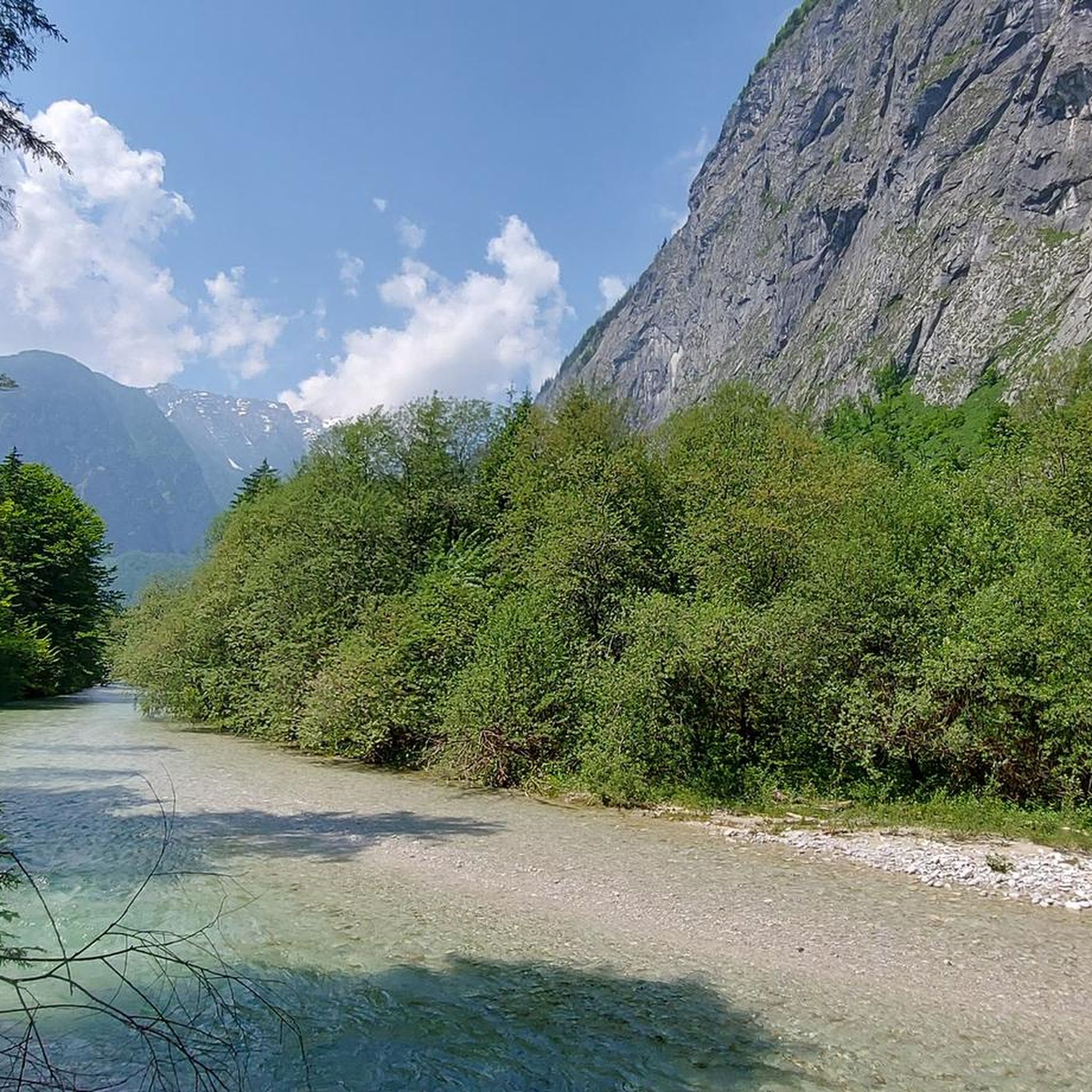
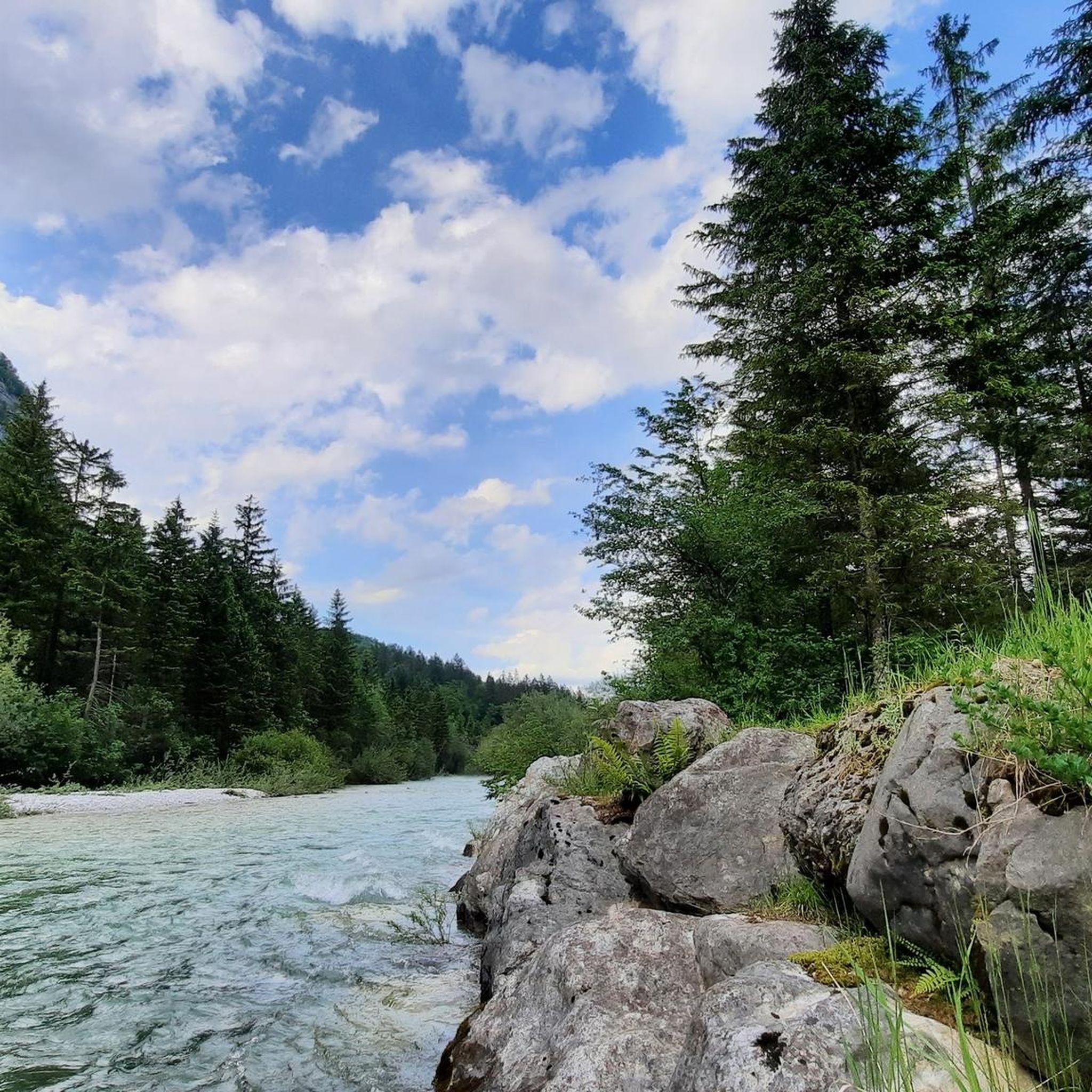
Hiking around Bluntautal offers a diverse landscape characterized by its pristine lakes, clear mountain streams, and dense forests within the Bezirk Hallein. The valley floor is relatively flat, making many areas accessible, while surrounding hills provide options for more challenging ascents. This region is known for its natural beauty, with trails often following waterways and offering views of the surrounding alpine foothills.
Best hiking trails around Bluntautal
- The most popular hiking route is Lower Bluntau Lake – Lakes Bluntau loop from Bärenwirt, a 3.7 miles (6.0 km) trail that takes 1 hour 35 minutes to complete. This easy route circles the picturesque Bluntau lakes.
- Another top favourite among local hikers is Bridge to Bluntau Waterfall – Unterjochalm loop from Bärenwirt, a moderate 6.0 miles (9.7 km) path. This trail features a waterfall and leads to an alpine pasture with scenic views.
- Local hikers also love the Lakes Bluntau – Lower Bluntau Lake loop from Bärenwirt, a 2.6 miles (4.2 km) trail leading through the lake district, often completed in about 1 hour 9 minutes.
- Hiking around Bluntautal is defined by its clear lakes, flowing streams, and forested valleys. The network offers options for various ability levels, from easy family-friendly hikes to more challenging ascents into the surrounding hills.
- The routes in Bluntautal are highly rated by the komoot community with an average score of 4.6 stars from over 10,000 reviews. More than 50,000 hikers have used komoot to explore Bluntautal's varied terrain.
Last updated: October 11, 2026
5.0
(1)
14
hikers
6.00km
01:35
50m
50m
Easy hike. Great for any fitness level. Easily-accessible paths. Suitable for all skill levels.
4.0
(4)
27
hikers
9.74km
04:19
660m
660m
Moderate hike. Good fitness required. Mostly accessible paths. Sure-footedness required.

4.8
(5)
12
hikers
4.18km
01:09
30m
30m
Moderate hike. Great for any fitness level. Mostly accessible paths. Sure-footedness required.
10
hikers
7.62km
04:38
760m
760m
Hard hike. Good fitness required. Sure-footedness, sturdy shoes and alpine experience required.
5.0
(1)
6
hikers
4.63km
01:35
170m
170m
Hard hike. Great for any fitness level. Sure-footedness, sturdy shoes and alpine experience required.
Get access to more routes and recommendations from other explorers.
Already have an account?
Our route recommendations are based on thousands of hikes, rides, and runs completed by other people on komoot.
Start today with a free account
Your next adventure awaits.
Tips from the Community

Look, enjoy and admire the idyllic natural beauty.
1
0
Bridge over the Torrener Bach A beautiful little bridge over the clear mountain water of the Torrener Bach, in the middle of the beautiful Bluntautal. An atmospheric spot on the way to the Bluntauseen.
1
0

Good for a break and a short rest, before heading either higher towards the summits, or back downhill.
0
0

The water is very clear, so you can even see the deep-swimming fish. Park benches are perfect for taking a short break and relaxing by the lake.
0
0

Unfortunately it's dry at the moment!
0
0

Unfortunately, the waterfall is currently empty. According to locals, this is often the case in summer.
0
0

A laborious climb for a waterfall that at least in December 24 does not exist
0
0
Frequently Asked Questions
How many hiking trails are there in Bluntautal?
Bluntautal offers a wide variety of hiking experiences, with over 280 trails recorded on komoot. These include 92 easy routes, 134 moderate paths, and 62 more challenging ascents, catering to all skill levels.
Are there any easy or family-friendly hikes in Bluntautal?
Yes, Bluntautal is well-known for its accessible and family-friendly options. Many trails follow the valley floor, which is relatively flat. A great example is the Lower Bluntau Lake – Lakes Bluntau loop from Bärenwirt, an easy 3.7-mile (6.0 km) route that circles the picturesque Bluntau lakes and is suitable for most ages.
What kind of circular walks can I find in Bluntautal?
Circular walks are a popular way to explore Bluntautal's natural beauty. The Lower Bluntau Lake – Lakes Bluntau loop from Bärenwirt is a well-loved easy option. For a slightly longer, moderate loop, consider the Lakes Bluntau – Lower Bluntau Lake loop from Bärenwirt, which takes you through the scenic lake district.
Are dogs allowed on the hiking trails in Bluntautal?
Generally, dogs are welcome on trails in Bluntautal, but it's always recommended to keep them on a leash, especially near livestock or in nature protection areas. Please ensure you clean up after your dog to preserve the pristine environment.
What are some highlights or viewpoints to see along the trails?
Bluntautal is rich in natural attractions. You can enjoy the stunning Lakes Bluntau, the scenic Bluntautal Valley itself, and the clear waters of the Torrener Ache river. Many trails offer views of these features, and some, like the Bridge to Bluntau Waterfall – Unterjochalm loop from Bärenwirt, lead to a beautiful waterfall and alpine pastures with panoramic vistas.
How long do hikes in Bluntautal typically take?
Hiking durations vary greatly depending on the trail's length and difficulty. Easy loops around the lakes, like the Lower Bluntau Lake – Lakes Bluntau loop, can be completed in about 1 hour 35 minutes. More challenging routes, such as the Mountain Stream in Salzburg – Höllbachquelle loop, can take over 4 hours.
Are there any advanced or difficult hikes in the Bluntautal area?
Yes, for experienced hikers seeking a challenge, Bluntautal offers more demanding routes. The Mountain Stream in Salzburg – Höllbachquelle loop from Bärenwirt is a difficult 4.7-mile (7.6 km) trail with significant elevation gain, taking approximately 4 hours 34 minutes to complete. Another challenging option is the Bridge to Bluntau Waterfall – Bear Inn loop from Bärenwirt.
What is the best time of year to hike in Bluntautal?
The best time to hike in Bluntautal is typically from spring through autumn (May to October), when the weather is mild, and trails are clear of snow. The vibrant greenery in spring and the colorful foliage in autumn make these seasons particularly appealing. Some lower-lying trails may also be accessible in winter, offering a serene, snow-covered landscape.
Is there parking available for hikers in Bluntautal?
Yes, parking is generally available at key access points to the Bluntautal trails, often near popular starting points like the Bärenwirt restaurant. It's advisable to arrive early during peak season to secure a spot.
What do other hikers enjoy most about Bluntautal?
The Bluntautal region is highly rated by the komoot community, with an average score of 4.6 stars from over 10,000 reviews. Hikers frequently praise the pristine natural beauty, the crystal-clear lakes and streams, and the well-maintained paths suitable for various fitness levels. The peaceful atmosphere and stunning alpine scenery are often highlighted as favorite aspects.
Are there cafes or restaurants near the hiking trails in Bluntautal?
Yes, the Bärenwirt restaurant is a well-known starting point for many trails and offers refreshments. There are also other establishments in the vicinity where you can enjoy a meal or a drink after your hike, particularly in the nearby town of Golling an der Salzach.
Most popular routes around Bluntautal
Most popular attractions around Bluntautal

Get inspired with the komoot mobile app


Explore more
Browse the best Hikes in other regions.
