The best walks and hikes around Döttesfeld
4.6
(962)
3,370
hikers
33
hikes
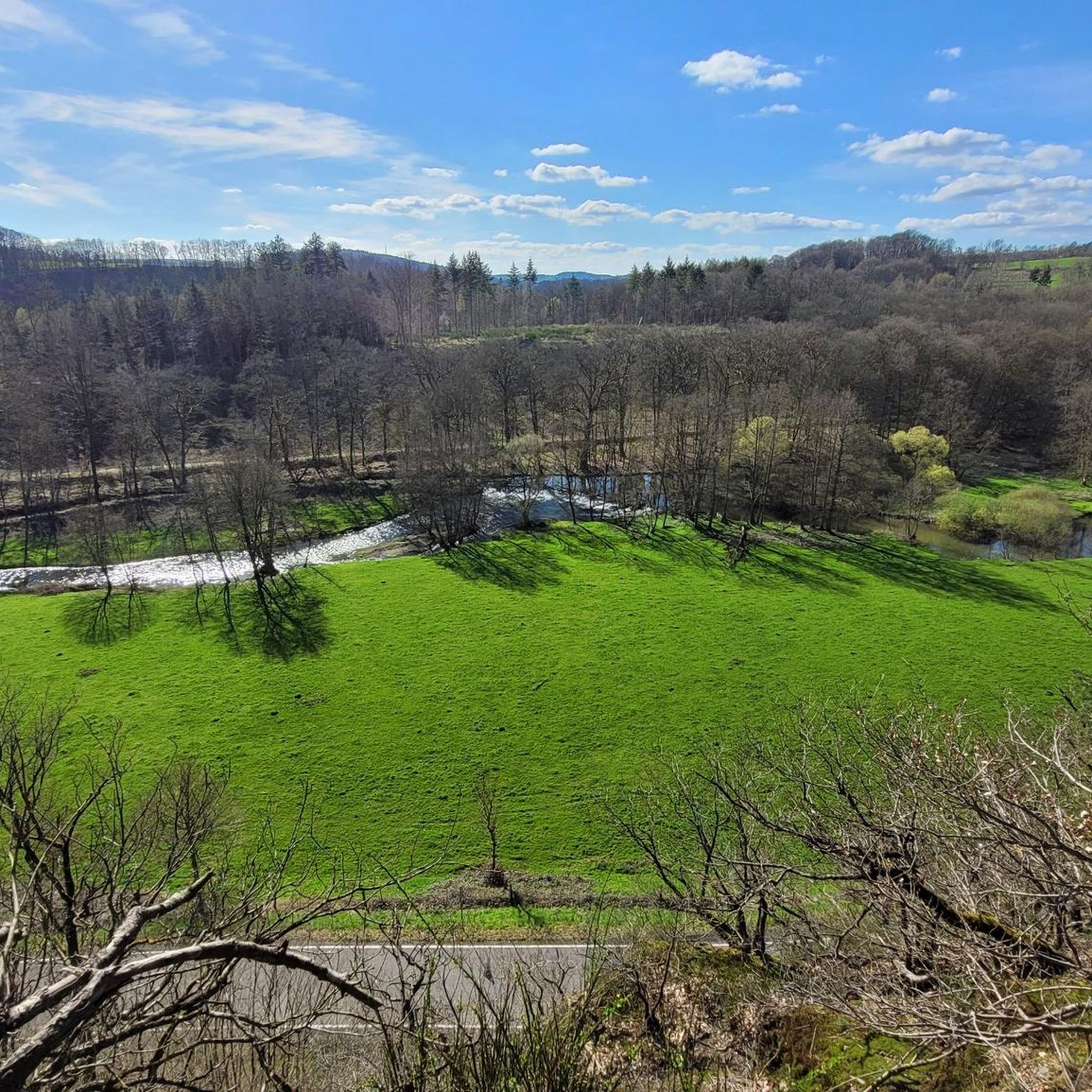
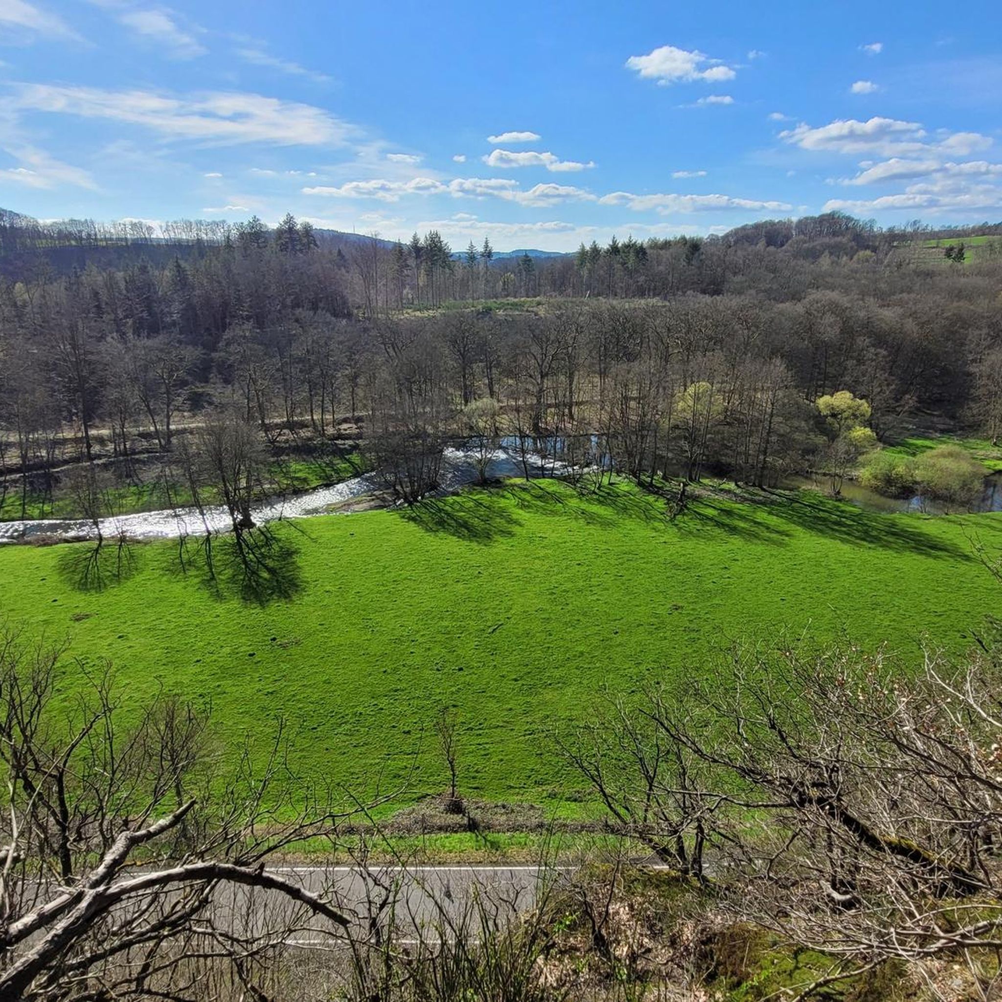
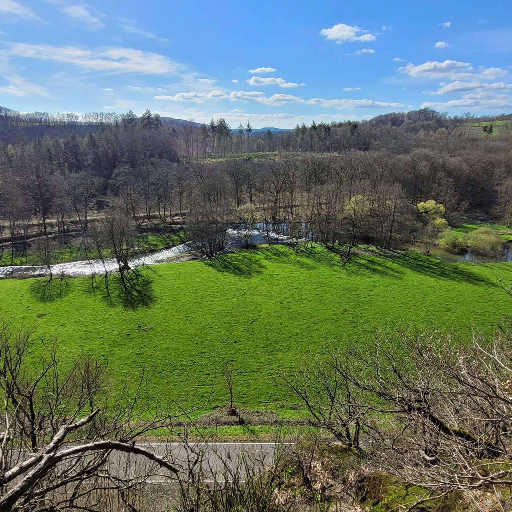
Hiking around Döttesfeld offers a diverse landscape characterized by flowing streams, dense woodlands, and varied elevations. The region features the Grenzbach Stream and the Wied river, providing scenic routes through natural environments. Trails often traverse forested areas and include features like the Hölderstein, indicating a mix of terrain suitable for different hiking experiences.
Best hiking trails around Döttesfeld
- The most popular hiking route is Hölderstein via ferrata – Grenzbach Stream loop from Breitscheid, an 8.7 miles (14.0 km) trail…
Last updated: October 8, 2026
4.8
(8)
33
hikers
15.2km
04:16
300m
300m
Hard hike. Good fitness required. Sure-footedness, sturdy shoes and alpine experience required.
4.5
(34)
110
hikers
7.98km
02:12
130m
120m
Hard hike. Good fitness required. Sure-footedness, sturdy shoes and alpine experience required.

4.7
(11)
29
hikers
3.56km
01:02
90m
90m
Hard hike. Great for any fitness level. Sure-footedness, sturdy shoes and alpine experience required.
4.8
(57)
167
hikers
18.6km
05:12
340m
340m
Hard hike. Very good fitness required. Sure-footedness, sturdy shoes and alpine experience required.
4.8
(4)
16
hikers
6.90km
01:55
130m
130m
Easy hike. Great for any fitness level. Easily-accessible paths. Suitable for all skill levels.
Get access to more routes and recommendations from other explorers.
Already have an account?
Our route recommendations are based on thousands of hikes, rides, and runs completed by other people on komoot.
Start today with a free account
Your next adventure awaits.
Tips from the Community


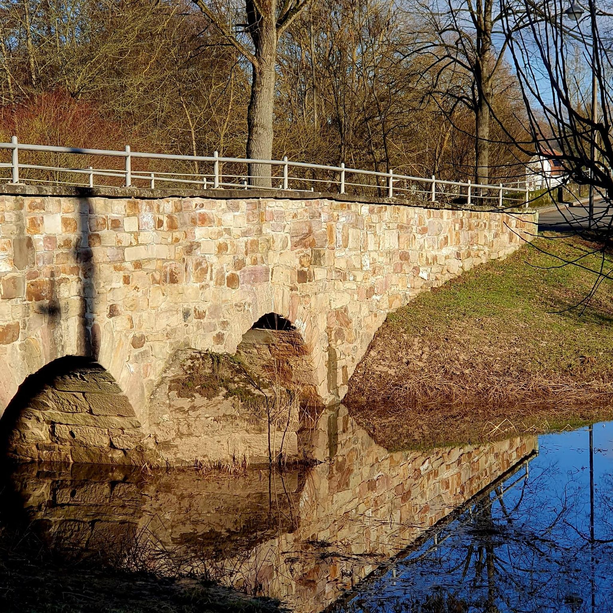
In the arch of the bridge an echo forms
0
0

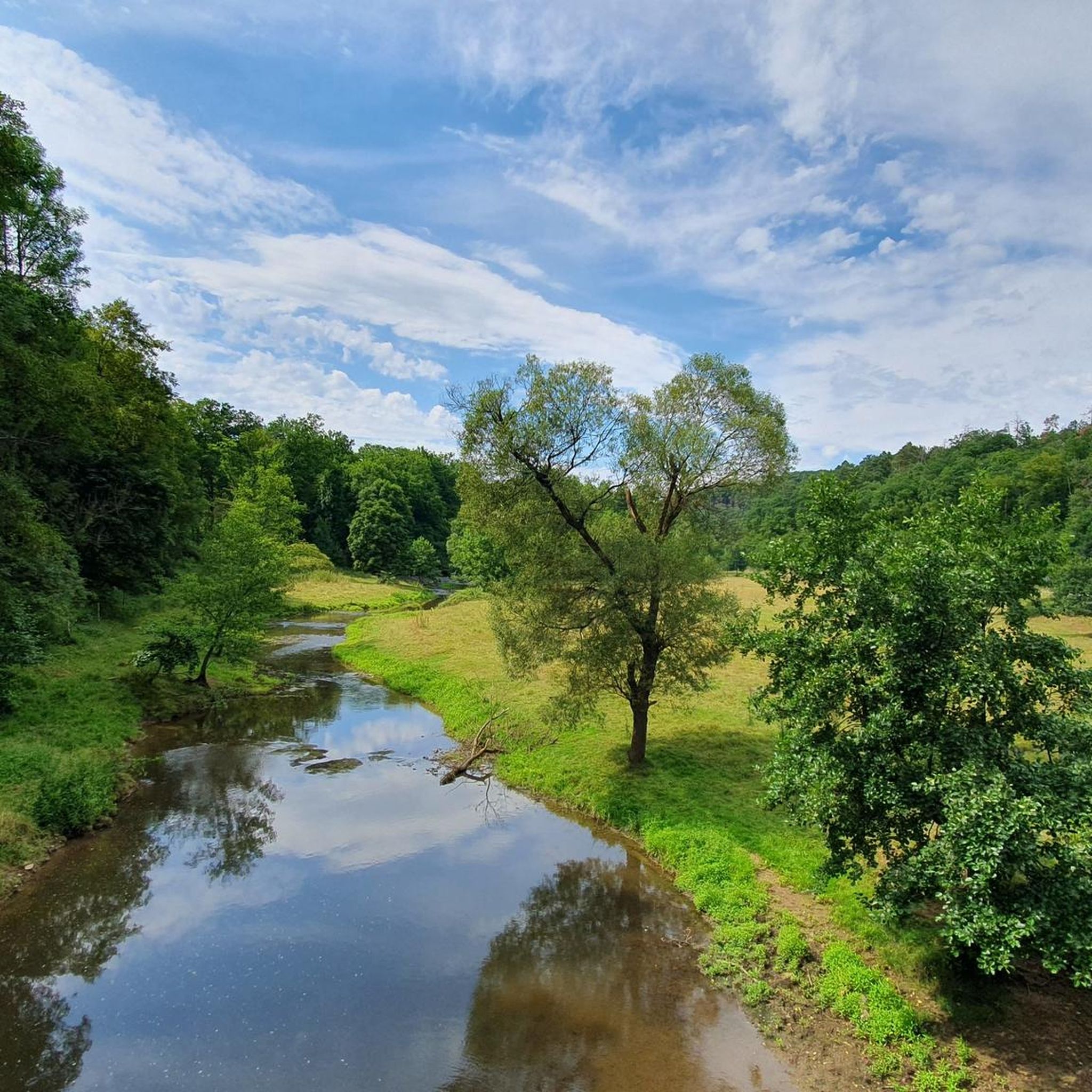
A very nature-oriented route in the beautiful Westerwald region.
0
0

Sitting under shady trees and enjoying the view: it's worth taking a break here!
0
0
Very nice facility... water treading is fun here!
0
0

Wiedtalbahn, an unfinished railway story. For more information, see Wikipedia: https://de.wikipedia.org/wiki/Wiedtalbahn_(Verkehrsprojekt) A cycle path is also a fairly modern and good idea for its use. Bus and truck traffic would likely be sufficient for an economically viable concept.
0
0
Whether you're a hiker, cyclist, or whatever, it's a must in fine to hot weather. Simple, pure sensory pleasure. Where else can you find this? The Döttesfeld village community's superbly maintained facility. So please appreciate it. And Kneipp would pat his belly with joy. Simple and ingenious.
1
0

Frequently Asked Questions
How many hiking trails are available in Döttesfeld?
Döttesfeld offers a wide variety of hiking experiences with over 30 different routes. These range from easy strolls to more challenging, longer treks through the region's diverse landscape.
Are there easy hiking trails suitable for beginners or families in Döttesfeld?
Yes, Döttesfeld has 15 easy hiking trails that are perfect for beginners or families looking for a more relaxed outdoor experience. These routes often follow the gentle paths along streams and through woodlands, providing a pleasant outing without significant elevation changes.
What kind of terrain can I expect on hikes around Döttesfeld?
The terrain around Döttesfeld is characterized by flowing streams, dense woodlands, and varied elevations. You'll find paths traversing forested areas, following the Grenzbach Stream and the Wied river, and some routes include features like the Hölderstein, offering a mix of natural environments.
What are the typical lengths and elevation gains for hikes in Döttesfeld?
Hikes in Döttesfeld vary significantly. For example, shorter routes like the Grenzbach Stream – View from Hölderstein loop from Pleckhausen are about 2 miles (3.2 km) with around 80 meters of elevation gain. Longer, more challenging routes, such as the Otto Tunnel – Grenzbach loop from Döttesfeld, can be up to 11.7 miles (18.9 km) with over 360 meters of elevation gain.
Can I bring my dog on the hiking trails in Döttesfeld?
Generally, dogs are welcome on hiking trails in the Döttesfeld region. However, it's always advisable to keep your dog on a leash, especially in nature reserves, near wildlife, or when passing through agricultural areas, to ensure the safety and comfort of all trail users and local fauna.
What do other hikers enjoy most about hiking in Döttesfeld?
The komoot community highly rates the hiking experience in Döttesfeld, with an average score of 4.6 stars from over 800 reviews. Hikers frequently praise the diverse landscapes, the scenic beauty of the Grenzbach Stream and Wied river, and the well-maintained trails that cater to various skill levels.
Are there any circular hiking routes in Döttesfeld?
Yes, many of the trails in Döttesfeld are designed as circular routes, allowing you to start and end at the same point. Examples include the popular Hölderstein via ferrata – Grenzbach Stream loop from Breitscheid and the Bridge over the Wied – Grenzbach loop from Pleckhausen, offering convenient exploration of the area.
What interesting landmarks or attractions can I see near the hiking trails?
While hiking in Döttesfeld, you can explore several notable attractions. These include historical sites like the Ehrenstein Castle Ruins and Monastery, natural features such as the Wied Valley, and unique structures like the Wied Suspension Bridge and the Peterslahr Tunnel.
Are there any challenging hikes for experienced hikers in Döttesfeld?
Absolutely. Döttesfeld offers 13 difficult routes for experienced hikers seeking a challenge. These trails often feature more significant elevation changes and varied terrain, such as the via ferrata section on the Hölderstein via ferrata – Grenzbach Stream loop from Breitscheid.
What is the best time of year to go hiking in Döttesfeld?
The Döttesfeld region is beautiful year-round. Spring brings lush greenery and blooming wildflowers, while autumn offers vibrant foliage. Summer is ideal for longer days on the trails, and even winter can provide serene, crisp hiking experiences, especially along the frozen streams and through quiet forests.
Are there any less crowded or 'hidden gem' hikes in the area?
While specific 'hidden gems' are often discovered by local exploration, many of the 30+ routes in Döttesfeld offer tranquil experiences away from the busiest paths. Exploring some of the lesser-known loops, such as the Grenzbach Stream – Grenzbach loop from Breitscheid, can lead to peaceful stretches of nature.
Most popular routes around Döttesfeld
Most popular attractions around Döttesfeld

Get inspired with the komoot mobile app


Explore more
Browse the best Hikes in other regions.
