The best MTB trails around Forêt domaniale de la Coubre
4.6
(562)
2,890
riders
32
rides
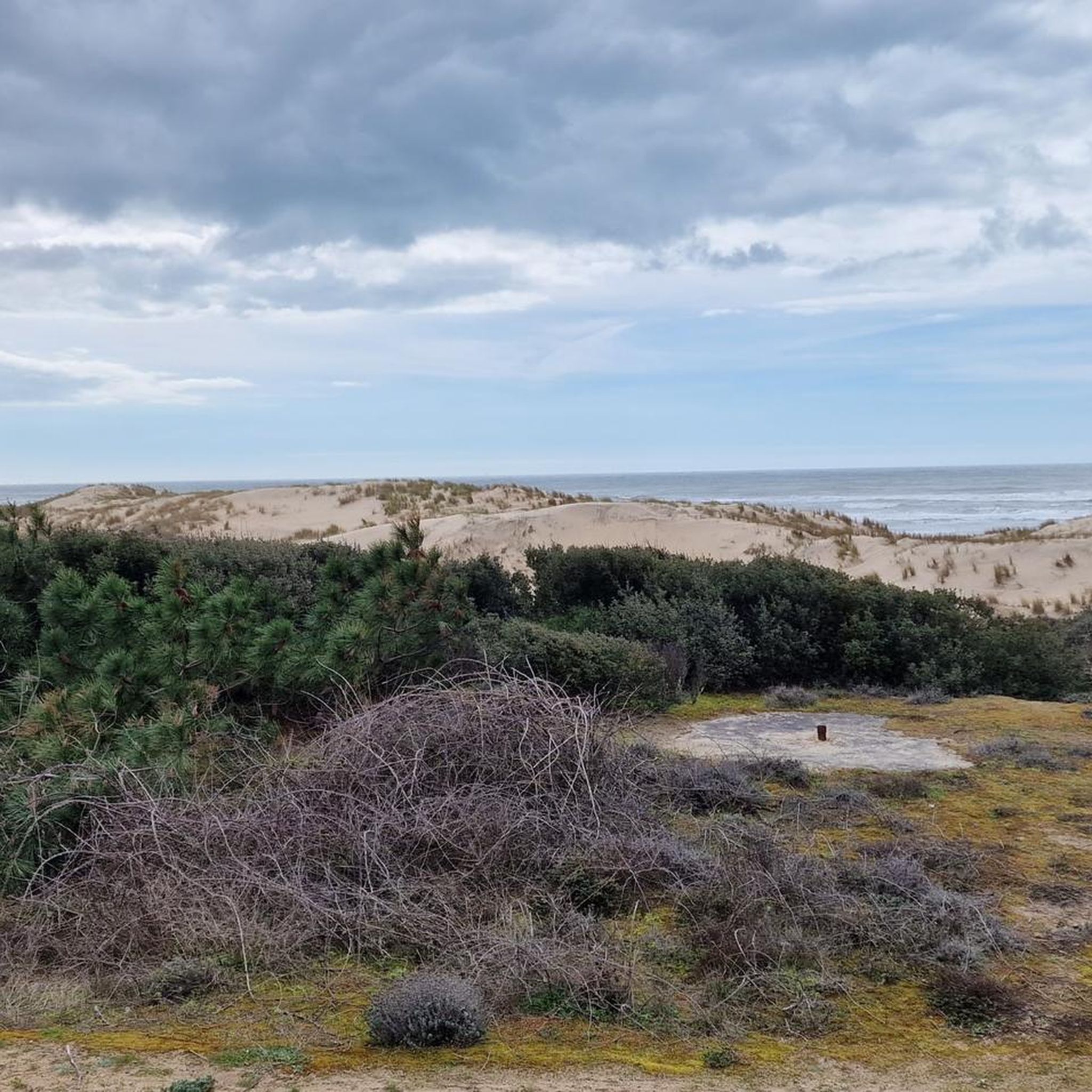
Mountain biking around Forêt domaniale de la Coubre offers routes through a vast pine forest on the Arvert peninsula in Charente-Maritime, France. This coastal forest features varied terrain, including gravel paths, dedicated mountain bike trails, and some paved sections. The area is characterized by its dense canopy of maritime pines and holm oaks, protecting coastal dunes and providing a unique environment for cycling. Elevations are generally low, with the highest point, Butte du Gardour, reaching 64 meters.
Best mountain bike…
Last updated: June 27, 2026
4.7
(124)
518
riders
Moderate mountain bike ride. Good fitness required. Advanced riding skills necessary.
4.7
(158)
633
riders
Moderate mountain bike ride. Good fitness required. Advanced riding skills necessary.

Sign up for free
4.8
(73)
303
riders
21.8km
01:28
70m
70m
Easy mountain bike ride. Great for any fitness level. Suitable for all skill levels.
4.9
(34)
176
riders
29.5km
01:37
160m
160m
Easy mountain bike ride. Great for any fitness level. Suitable for all skill levels.
4.8
(12)
72
riders
21.0km
01:04
40m
40m
Easy mountain bike ride. Great for any fitness level. Suitable for all skill levels.
Get access to more routes and recommendations from other explorers.
Sign up for free
Already have an account?
Our route recommendations are based on thousands of hikes, rides, and runs completed by other people on komoot.
Start today with a free account
Your next adventure awaits.
Login or Signup
Popular around Forêt domaniale de la Coubre
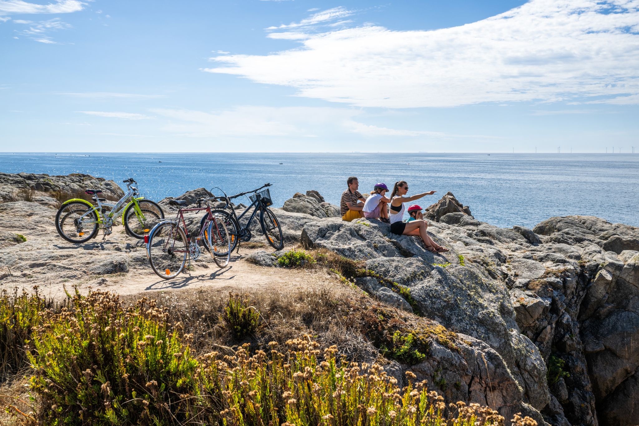
French Atlantic coast – 9 bike Tours from La Baule to Saint-Jean-de-Luz
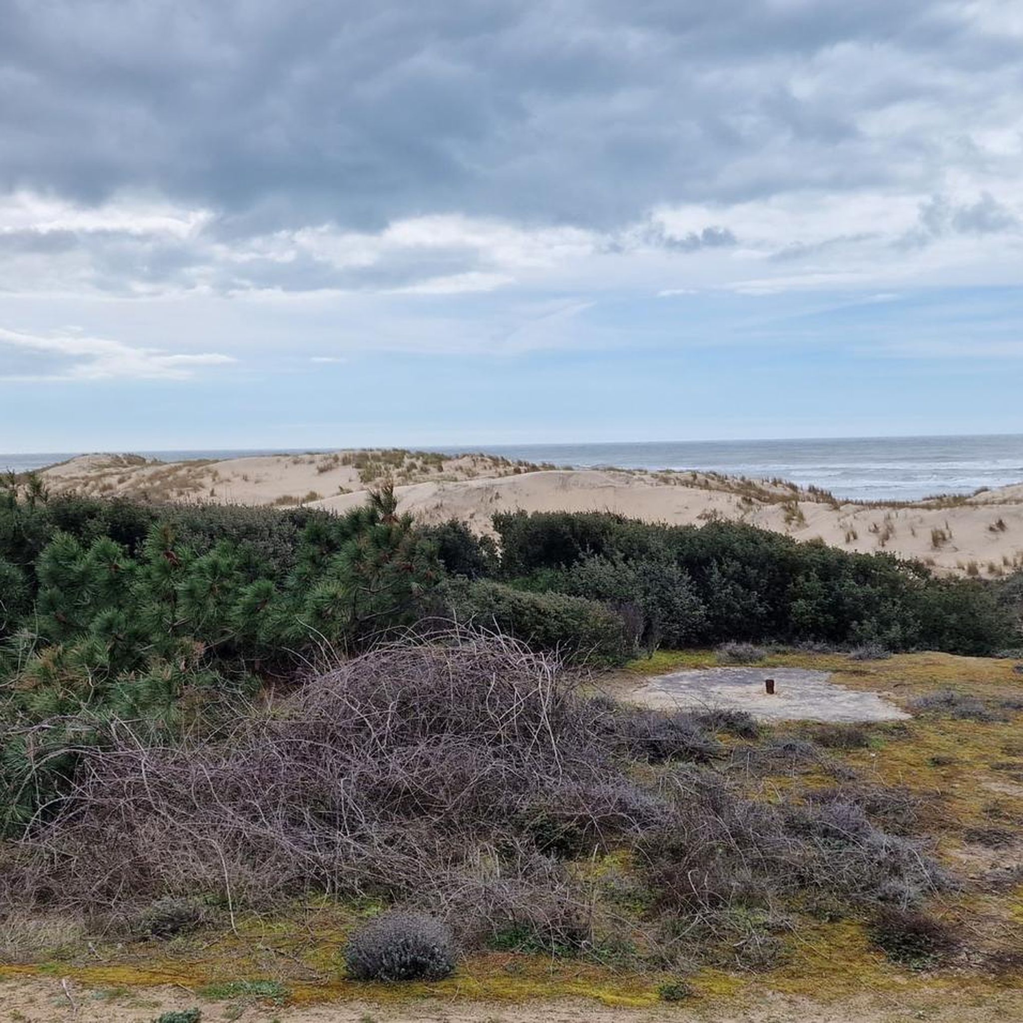
Cycling around Forêt domaniale de la Coubre
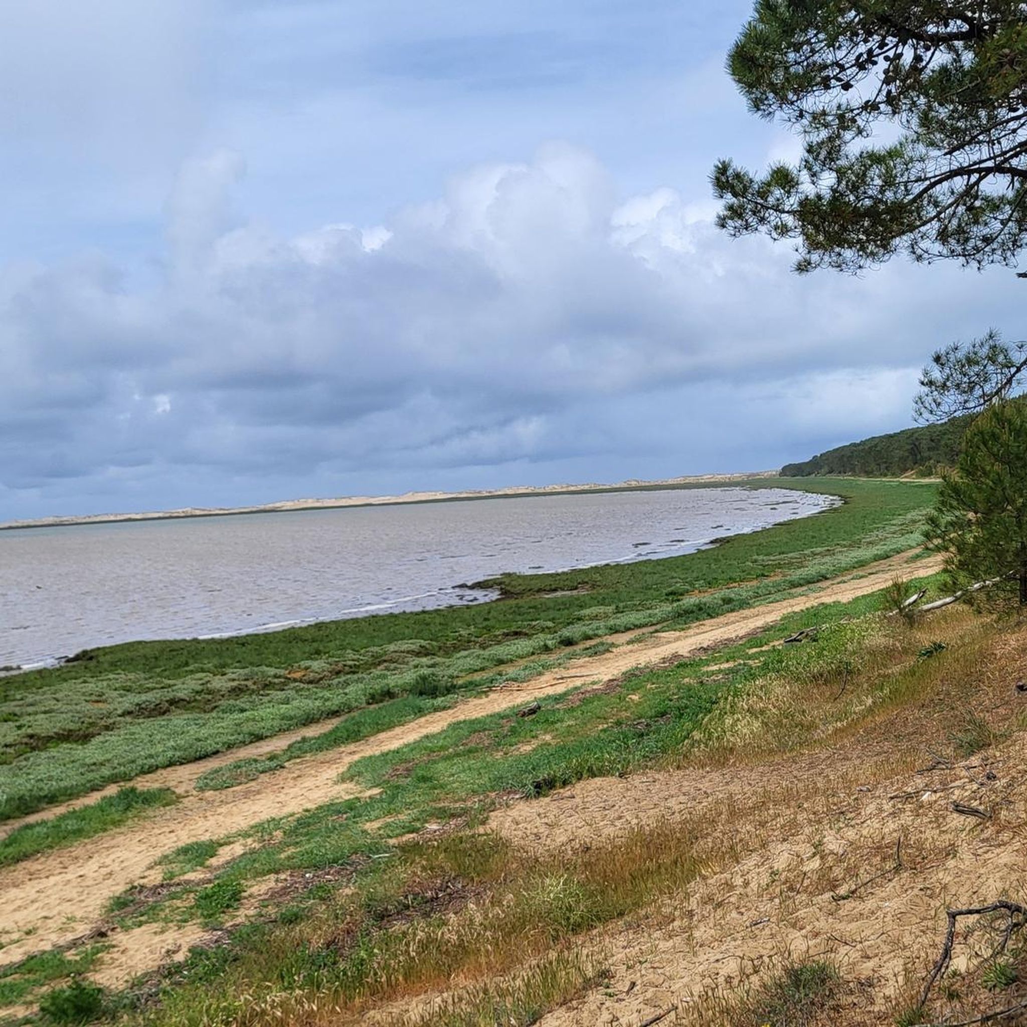
Running Trails around Forêt domaniale de la Coubre
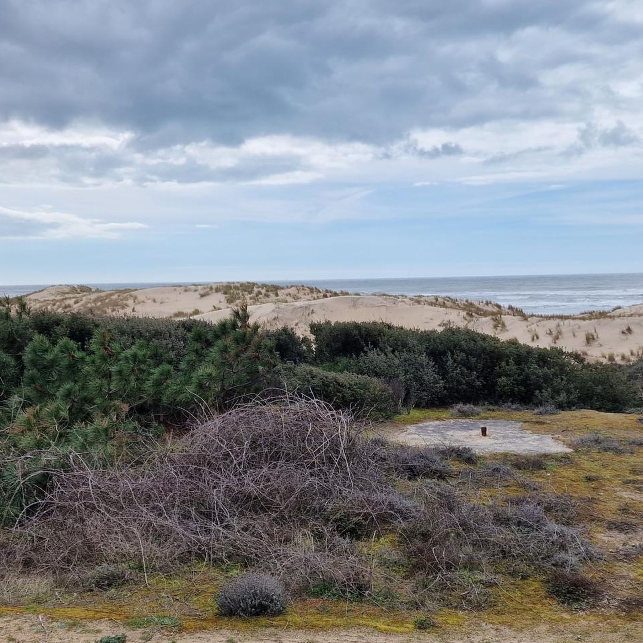
Hiking around Forêt domaniale de la Coubre
Road Cycling Routes around Forêt domaniale de la Coubre
Gravel biking around Forêt domaniale de la Coubre
Other adventures around Forêt domaniale de la Coubre

Tips from the Community

Here you'll find a romantic little lighthouse, and behind it lies a garden with a bench overlooking the sea, a lovely place to stop for a break. Afterwards, you can continue along the cliff to the right until you reach Euro Velo 1 again.
0
0

The tides are constantly changing the landscape.
0
0


Splendid beaches all along this magnificent route.
0
0

The Terre-Nègre lighthouse is a landmark forming a cylindrical tower a little over 26 meters high. Located on the tip of Terre-Nègre, in the commune of Saint-Palais-sur-Mer, in Charente-Maritime, it is intended to mark the southern pass of the Gironde estuary and to signal the presence of a dangerous sandbank, the "Anglais bar". This building forms a tower-column 3.16 meters in diameter and 26.60 meters high. A spiral staircase with a central core of 143 steps leads to a summit platform equipped with a directional light. The tower is painted in two different colors to make it more visible: the upper part is red, the lower part is white. The base of the lighthouse is hidden by a building that once served as the keeper's accommodation. The installation of a beacon at this location was considered as early as 1763. De Kearney took over the beaconing plan four years later. Construction work on the tower began in 1770 and was completed in 1773, probably under the supervision of the Bordeaux engineer Claude Tardy. In 1807, the tower was raised. However, this work was considered insufficient by some of the estuary's navigators. In 1834, sailors from the nearby port of Royan sent a request to the Ministry of the Navy to study the possibility of equipping the tower with a light. However, this request was postponed the following year due to lack of sufficient funds. A new request from sailors prompted the lighthouse commission to experiment with a first light in 1836. Finally, on October 15, 1838, a fixed white 4th order light was permanently installed. The latter was replaced in 1856 by a fixed white light of the 4th order of a small dioptric model with a reinforced sector of the 5th order catoptric. It was equipped with new lights in 1899 and 1904. In 1939, it was electrified. During the German occupation, the lighthouse served as an observatory for the soldiers of the Wehrmacht. Damaged during the fighting of 1945 (presence of breaches at the top of the tower), it was restored in the immediate post-war period. In March 1947, the lighthouse was operational again. A light with 3 occultations — changing every 12 seconds — was installed. Its colors are white, red and green. Its current range is 18 miles. Listed as a Historic Monument since 2011, the lighthouse is not open to visitors. However, it can be admired from the outside and a pretty passage provides direct access to the coastal path.
0
0

The Promenade des Deux Phares offers a picturesque mountain bike route along the Atlantic coast, with panoramic views of the sea and beaches. Between the two lighthouses, you will cross sandy paths, coastal paths and pine forests typical of Charente-Maritime.
1
0

This forest path offers breathtaking views of the coast. Bordering the Cambots d'Ansoine forest near La Palmyre, it is a place where nature and the sea meet. From the forest paths, the views open onto the sandbanks that change with the tides.
0
0

Located four kilometers from Ronce-les-Bains, this magnificent fine sand beach is bordered by dunes populated with holm oaks and pines. It is accessed by a sandy path which leads to the beach and its panoramic view of the island of Oléron.
0
0
Frequently Asked Questions
What is the general terrain like for mountain biking in Forêt domaniale de la Coubre?
The terrain in Forêt domaniale de la Coubre is diverse, primarily featuring vast pine forests with maritime pines and holm oaks. You'll encounter a mix of gravel paths, dedicated mountain bike trails, and some paved sections. The forest also protects coastal dunes, offering a unique environment with occasional sandy passages and views of the ocean.
What are the difficulty levels of mountain bike trails in the area?
The mountain bike trails in Forêt domaniale de la Coubre are generally suited for easy to moderate ability levels. Out of 29 available routes, 18 are classified as easy and 11 as moderate, making it accessible for a wide range of riders. There are no difficult trails listed in the area.
Are there any significant elevation changes on the trails?
Elevation changes on the trails in Forêt domaniale de la Coubre are generally low. The highest point in the forest, Butte du Gardour, reaches only 64 meters. For example, a moderate route like MTB Route 4 – Ronce-les-Bains mountain bike circuit loop from Église du Sacré-Cœur has an elevation gain of about 142 meters over 33.7 km, indicating a relatively flat profile overall.
What natural features or landmarks can I see while mountain biking?
While mountain biking, you can experience the dense pine forest environment and catch glimpses of the 'Côte Sauvage' and the ocean. Notable landmarks include the iconic Phare de la Coubre, the tallest lighthouse in the department, which offers panoramic views from its top. The La Coubre state forest itself is a significant natural feature, protecting coastal dunes and providing a habitat for diverse wildlife.
What is the best time of year to go mountain biking in Forêt domaniale de la Coubre?
The dense pine canopy of the Forêt domaniale de la Coubre offers partial shade, making it a comfortable ride even on sunnier days. Spring and autumn generally provide pleasant temperatures and fewer crowds. Summer can also be enjoyable, especially with the shade, but be mindful of potential heat.
Are the mountain bike trails suitable for families?
Yes, many of the mountain bike trails in Forêt domaniale de la Coubre are suitable for families, particularly the 18 easy-rated routes. The relatively low elevation changes and varied terrain, including dedicated cycle paths, make it a good option for family outings. For example, the Ocean Path at Les Mathes – Phare de la Coubre loop from Les Mathes is an easy 14.3 km route that families might enjoy.
Can I bring my dog on the mountain bike trails?
While the Forêt domaniale de la Coubre is a natural area, it's always recommended to check local regulations regarding dogs on trails, especially within protected areas like Natura 2000 sites. If allowed, dogs should generally be kept on a leash to protect local wildlife such as deer, roe deer, and wild boars, and to ensure a safe experience for all trail users.
How long are the mountain bike trails in Forêt domaniale de la Coubre?
The mountain bike trails in Forêt domaniale de la Coubre vary in length. You can find shorter, easy routes like the Ocean Path at Les Mathes – Phare de la Coubre loop from Les Mathes, which is 14.3 km. Longer, moderate options include the Promenade des Deux Phares – Seaside loop from Phare de la Coubre, spanning 44.7 km.
Are there any loop mountain bike trails in Forêt domaniale de la Coubre?
Yes, many of the mountain bike trails in Forêt domaniale de la Coubre are designed as loops, offering convenient starting and ending points. Examples include the MTB Route 4 – Ronce-les-Bains mountain bike circuit loop from Église du Sacré-Cœur and the Ocean Path at Les Mathes – Beautiful track loop from Indian Forest.
What do other mountain bikers enjoy the most about mountain biking in Forêt domaniale de la Coubre?
The area is highly rated by the komoot community, with an average score of 4.7 stars from over 480 reviews. Reviewers often praise the tranquil atmosphere, the escape from car traffic, and the unique coastal forest environment with its ocean backdrop. The well-maintained cycle paths and the opportunity to spot wildlife are also frequently highlighted.
Is it possible to access the trails via public transport?
While the region is well-known for its cycling infrastructure, including the Vélodyssée, direct public transport access to specific mountain bike trailheads within the dense forest might be limited. It's advisable to check local bus services or consider starting from towns like Ronce-les-Bains or Royan, which may have better public transport connections and then cycling to the forest's entry points.
Are there places to eat or drink near the trails?
The Forêt domaniale de la Coubre is situated on the Arvert peninsula, with nearby towns such as Ronce-les-Bains and Royan. These towns offer various amenities, including cafes, restaurants, and shops where you can refuel before or after your ride. It's a good idea to plan your route to pass through or near these areas if you intend to stop for refreshments.
Most popular routes around Forêt domaniale de la Coubre
Most popular attractions around Forêt domaniale de la Coubre

Get inspired with the komoot mobile app


Explore more
Browse the best MTB trails in other regions.
