The best road cycling routes around Forêt Domaniale de Chapaize
4.5
(46)
961
riders
124
rides
Road cycling routes around Forêt Domaniale de Chapaize traverse a landscape characterized by rolling hills, dense woodlands, and open countryside in the Mâconnais region. The terrain includes varied elevation changes, with routes featuring both gentle ascents and more challenging climbs. This area offers a mix of quiet country roads and routes passing through historical villages.
Best road cycling routes around Forêt Domaniale de Chapaize
- The most popular road cycling route is Chapaize Church loop from Chapaize, a 5.9 miles…
Last updated: July 10, 2026
9
riders
9.54km
00:26
80m
80m
Easy road ride. Great for any fitness level. Mostly well-paved surfaces and easy to ride.
8
riders
68.1km
02:58
560m
560m
Moderate road ride. Good fitness required. Mostly well-paved surfaces and easy to ride.

Sign up for free
5.0
(1)
4
riders
30.6km
01:40
510m
510m
Moderate road ride. Good fitness required. Mostly well-paved surfaces and easy to ride.
2
riders
Moderate road ride. Good fitness required. Mostly well-paved surfaces and easy to ride.
4.0
(2)
22
riders
46.1km
02:05
480m
480m
Moderate road ride. Good fitness required. Mostly well-paved surfaces and easy to ride.
Get access to more routes and recommendations from other explorers.
Sign up for free
Already have an account?
Our route recommendations are based on thousands of hikes, rides, and runs completed by other people on komoot.
Start today with a free account
Your next adventure awaits.
Login or Signup


Tips from the Community

The Saint-Martin church in Chapaize is a beautiful, old church. Its huge, 35-meter-high tower can be seen from afar. The church was built almost 1000 years ago in the Romanesque style, it has thick stone walls and round arches.
3
0
The tour leads through a picturesque, typically Burgundian landscape of rolling fields, dense forests, and vineyards. It connects the small, historic communities of Bray, Cortambert, and Blanot. In the listed historic village of Blanot, you will find, among other things, the famous Grottes de Blanot (a cave that reaches over 80 meters deep into the earth) as well as a historic Romanesque church. www.burgund-touri... +1
1
0
The classic ascent from Mancey is considered a tough short climb in Category 3. Over a distance of 2.2 kilometers, 166 meters of altitude must be overcome. The average gradient is 7.55%, with peak sections of up to 14%. The path junction leads to various hiking trails and gravel paths through the wooded and wine-rich hilly landscape of the Mâconnais.
0
0
The station no longer serves trains. The historic site has been transformed into a vibrant leisure zone (Aire de loisirs de la gare). The building is located directly on the Voie Verte de Bourgogne du Sud, a well-known 77 km cycle path on a former railway line. Travelers will find a bicycle rental service for regular and electric bikes, a tool station for repairs, picnic tables, public restrooms, and a children's playground. It also serves as a starting point for excursions, for example to the nearby Château de Cormatin.
0
0
The pass is located on Rue des Maquisards in the municipality of Nanton. It is a popular destination for cycling tours. The ascent from the municipality of Mancey covers a distance of 2.2 kilometers. Cyclists overcome 166 meters of altitude on this tough route with an average gradient of 7.55%. The surrounding area also offers a versatile network of trails for easy to medium-difficulty hikes through rolling hills, mixed forests, and to nearby viewpoints such as Roche d'Aujou.
0
0
The municipality has a total of five historic washhouses from the 19th century. They have been lovingly restored by an association of volunteers and reflect the rural cultural history of the region. The structure is made of characteristic local natural stone. In the 19th century, such washhouses not only served for cleaning laundry but were also a central social meeting point for the village community.
1
0


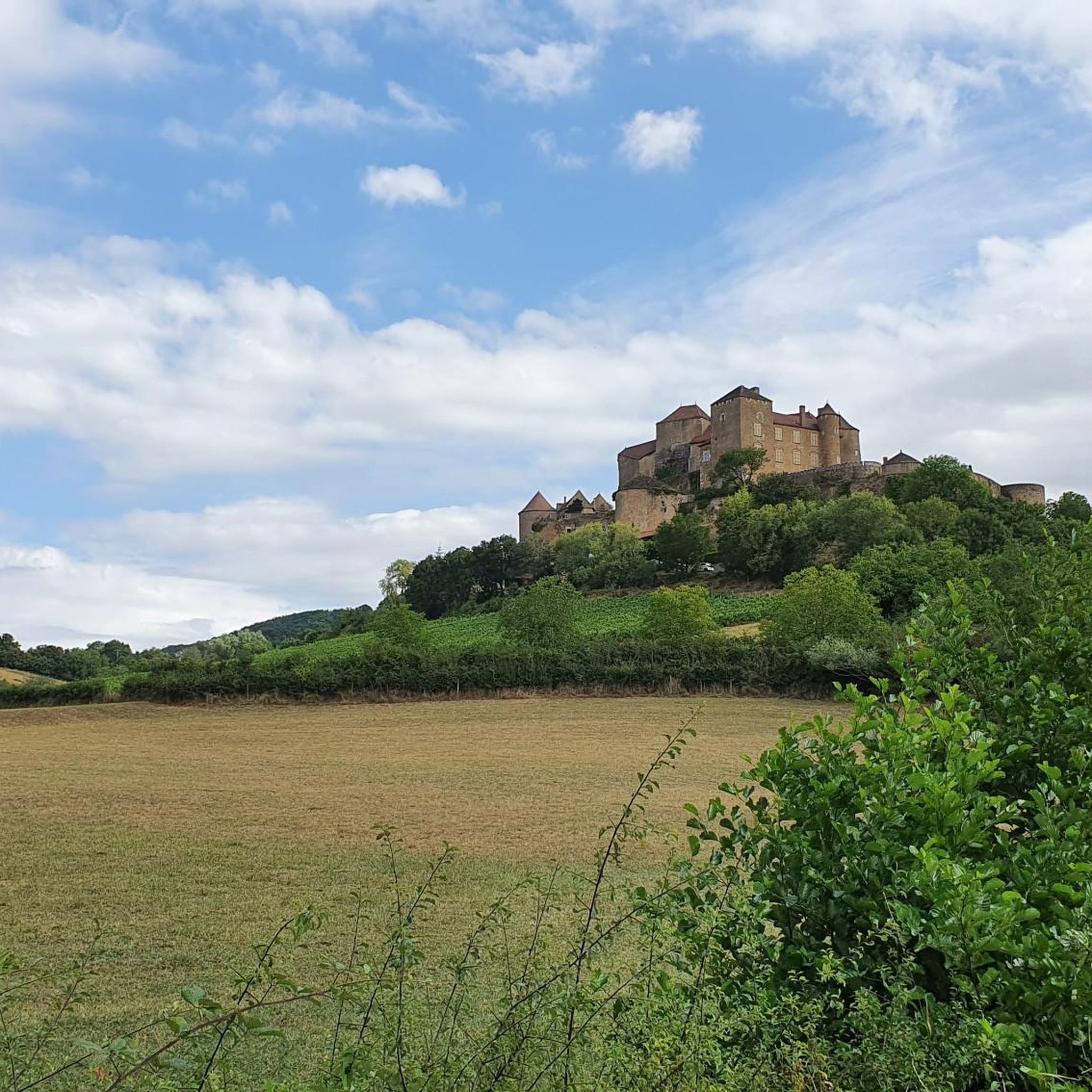
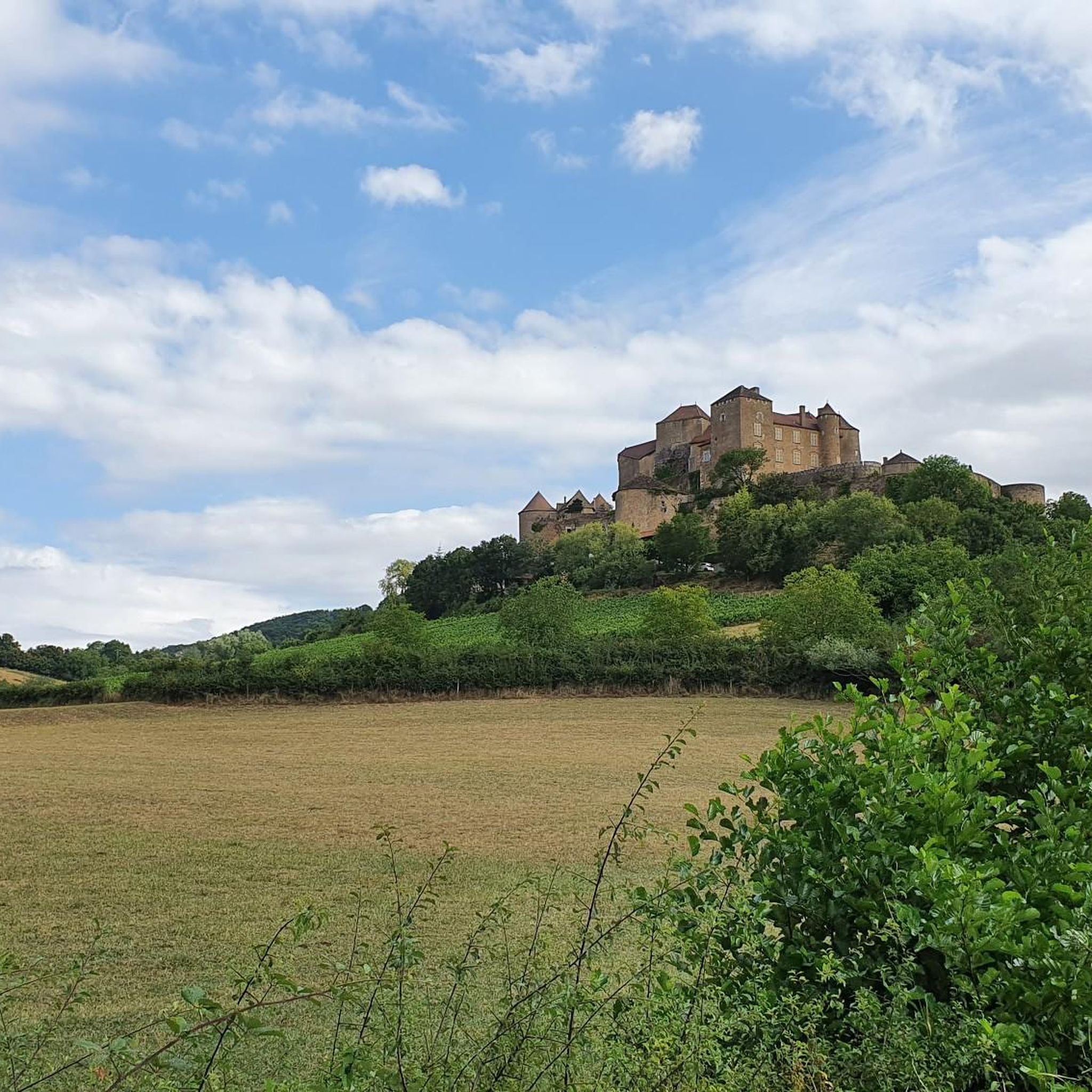
This small 15th-century castle, built of brick, has not undergone any restoration. In the 18th century, it still had a rectangular enclosure with four towers. Only a main residential building remains between two large square towers topped with high hipped roofs. The larger of the two towers features elegant mullioned windows. Some bays have retained medieval wrought-iron grilles.
0
0
Frequently Asked Questions
What kind of terrain can I expect on road cycling routes around Forêt Domaniale de Chapaize?
The region around Forêt Domaniale de Chapaize is characterized by rolling hills, dense woodlands, and open countryside in the Mâconnais. You'll encounter varied elevation changes, from gentle ascents to more challenging climbs, on a mix of quiet country roads and routes passing through historical villages.
Are there road cycling routes suitable for beginners in Forêt Domaniale de Chapaize?
Yes, the area offers several easy routes. For instance, the Chapaize Church loop from Chapaize is an easy 9.6 km (5.9 miles) ride with minimal elevation gain, perfect for a gentle introduction to the local roads.
How many road cycling routes are available in the Forêt Domaniale de Chapaize area?
There are over 120 road cycling routes available around Forêt Domaniale de Chapaize, catering to various skill levels. This includes approximately 27 easy routes, 79 moderate routes, and 22 difficult routes.
What is the best time of year for road cycling in Forêt Domaniale de Chapaize?
Spring and autumn are generally ideal for road cycling in Forêt Domaniale de Chapaize. The weather is typically milder, and the natural scenery, especially the changing foliage in autumn, is particularly beautiful. Summer can also be pleasant, but it's advisable to start earlier in the day to avoid the midday heat.
Are there any challenging road cycling routes for experienced riders?
Absolutely. For experienced riders seeking a challenge, routes like the Croix de Montmain Pass – Pistole Pass loop from La Chapelle-sous-Brancion offer significant elevation gains, with over 1300 meters (4265 feet) of climbing over 66.8 km (41.5 miles).
Can I find circular road cycling routes in the Forêt Domaniale de Chapaize region?
Yes, many of the routes are designed as loops, allowing you to start and finish in the same location. Examples include the easy Chapaize Church loop from Chapaize and the more extensive Chapaize Church – Cormatin Castle loop from Chissey-lès-Mâcon.
What historical landmarks can I see while road cycling in the area?
The routes often pass through or near historical sites. Notable landmarks include the iconic Chapaize Church and the impressive Cormatin Castle. The Chapaize Church – Cormatin Castle loop from Chissey-lès-Mâcon specifically connects these two significant points of interest.
Are there family-friendly road cycling options around Forêt Domaniale de Chapaize?
While many routes involve public roads, some easier, shorter loops are suitable for families with older children comfortable cycling on roads. The Chapaize Church loop from Chapaize is a good example of a shorter, less demanding route.
Where can I park my car when starting a road cycling tour in Forêt Domaniale de Chapaize?
Parking is generally available in the villages and towns that serve as starting points for many routes, such as Chapaize, Chissey-lès-Mâcon, and Cormatin. Look for designated public parking areas within these communities.
What do other cyclists say about road cycling in Forêt Domaniale de Chapaize?
The area is highly rated by the komoot community, with an average score of 4.5 stars from over 50 reviews. Cyclists often praise the varied terrain, the quiet country roads, and the beautiful scenery that combines dense woodlands with open countryside and historical villages.
Are there cafes or places to stop for refreshments along the road cycling routes?
Yes, the routes often pass through charming villages where you can find local cafes, bakeries, or small restaurants. Villages like Chapaize and Cormatin are good places to plan a refreshment stop during your ride.
Can I access the road cycling routes using public transport?
While direct public transport to specific trailheads within the forest might be limited, you can often reach larger towns or villages in the vicinity, such as Cluny or Tournus, by regional bus or train. From there, you can cycle to the starting points of the routes.
Are there any specific viewpoints or scenic spots along the road cycling routes?
The rolling hills and forested sections naturally offer numerous scenic vistas, especially from higher points. While no specific 'viewpoint' highlights are listed, the varied landscape ensures picturesque views throughout your ride, particularly when passing through open countryside or elevated sections like those found on the 19th-Century Washhouse – Col de Navois loop from Chapaize.
Most popular routes around Forêt Domaniale de Chapaize

Get inspired with the komoot mobile app


Explore more
Browse the best Road cycling routes in other regions.
