The best road cycling routes around Tourvéon
4.5
(47)
710
riders
89
rides
Road cycling around Tourvéon is characterized by its varied terrain, featuring numerous passes and cols within a forested region. The landscape includes significant elevation changes, with routes often traversing hilly and mountainous areas. This region, situated near Rhône, offers diverse road cycling experiences through its natural environment.
Best road cycling routes around Tourvéon
- The most popular road cycling route is Ecorbans Pass - 853 m – Col du Pavillon loop from Chénelette, a 30.7 miles (49.4 km) trail that…
Last updated: October 18, 2026
5.0
(2)
18
riders
60.9km
02:59
910m
910m
Hard road ride. Very good fitness required. Mostly well-paved surfaces and easy to ride.
5.0
(3)
20
riders
35.2km
01:44
510m
510m
Moderate road ride. Good fitness required. Mostly well-paved surfaces and easy to ride.

5.0
(3)
13
riders
Moderate road ride. Good fitness required. Mostly well-paved surfaces and easy to ride.
9
riders
98.1km
04:38
1,310m
1,310m
Hard road ride. Very good fitness required. Mostly well-paved surfaces and easy to ride.
9
riders
80.7km
03:43
930m
930m
Hard road ride. Very good fitness required. Mostly well-paved surfaces and easy to ride.
Get access to more routes and recommendations from other explorers.
Already have an account?
Our route recommendations are based on thousands of hikes, rides, and runs completed by other people on komoot.
Start today with a free account
Your next adventure awaits.
Tips from the Community

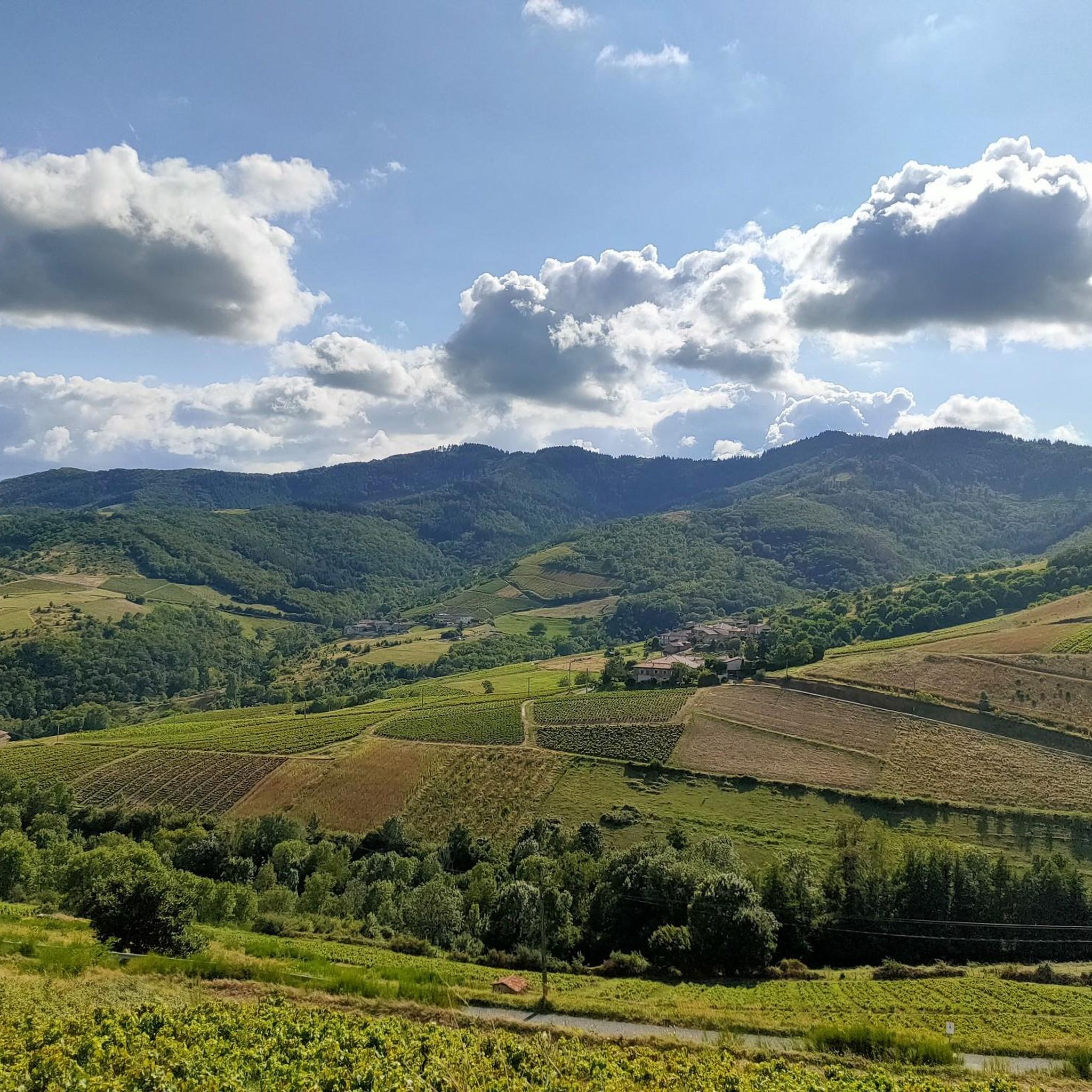
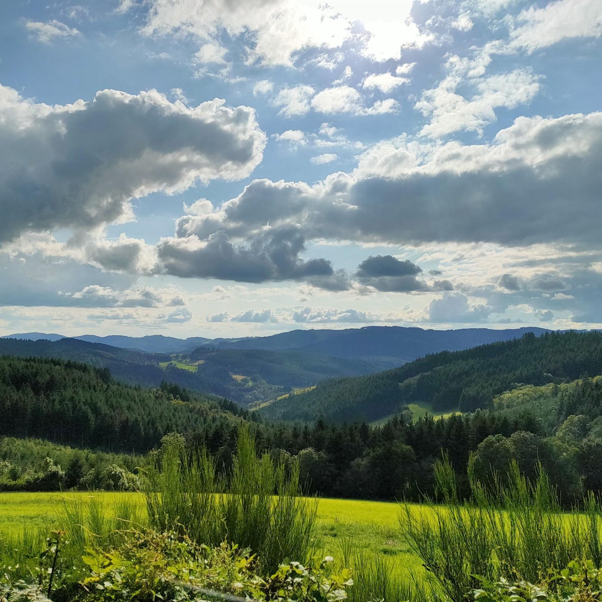
From here, you face a typical panorama of the Haut-Beaujolais with large, rolling meadows, dotted with wooded groves and highlighted by the region's highest peaks.
0
0

Here is the route for the ascent of the Col de la Croix Marchampt starting from Pont Gaillard
1
0


Beautiful pass at 736 m, quite gentle, 6.1% average. Nice to do by mixing with the 76 gravel hiking trail.
3
0
Nice pass with an average gradient of around 5% and little traffic.
0
0


See the paintings by Jean Fusaro inside.
0
0
Frequently Asked Questions
How many road cycling routes are available around Tourvéon?
There are over 90 road cycling routes in the Tourvéon area, offering a wide range of experiences from moderate to difficult, all characterized by the region's varied terrain and significant elevation changes.
Are there road cycling routes suitable for beginners in Tourvéon?
Yes, Tourvéon offers a selection of routes suitable for beginners. While the region is known for its hilly and mountainous terrain, there are 3 easy routes available. These routes provide a gentler introduction to road cycling in the area, allowing you to enjoy the forested landscapes without overly challenging climbs.
What kind of terrain can I expect on road cycling routes in Tourvéon?
Road cycling around Tourvéon is defined by its varied terrain, featuring numerous passes and cols within a forested region. You can expect significant elevation changes, with routes often traversing hilly and mountainous areas, offering a challenging yet rewarding experience.
Are there any long-distance road cycling routes in Tourvéon?
Yes, Tourvéon features several longer routes for experienced cyclists. For example, the Col de Patoux - 910 m – Charlieu Benedictine Abbey loop from Chénelette is a challenging 50.2-mile (80.7 km) route with substantial elevation gain, perfect for those seeking a full day on the bike.
Where can I find parking for road cycling routes near Tourvéon?
Many road cycling routes in the Tourvéon area, such as those starting from Chénelette, typically have parking available at or near the trailhead. It's advisable to check specific route details on komoot for recommended starting points and parking information.
Are there any circular road cycling routes in Tourvéon?
Yes, many of the routes around Tourvéon are designed as loops, allowing you to start and finish at the same point. A popular example is the Ecorbans Pass - 853 m – Col du Pavillon loop from Chénelette, a moderate 30.7-mile (49.4 km) trail that takes you through scenic passes.
What do other road cyclists say about the routes in Tourvéon?
The road cycling routes in Tourvéon are highly rated by the komoot community, with an average score of 4.6 stars from over 40 reviews. Cyclists often praise the challenging climbs, the beauty of the forested passes, and the rewarding views from various cols.
What are some challenging road cycling routes for advanced riders in Tourvéon?
Advanced riders will find plenty of challenging options. The Col du Fût d'Avenas – Viewpoint of Fût d'Avenas loop from Chénelette is a difficult 36.1-mile (58.2 km) path with a significant ascent to a viewpoint, offering extensive vistas. Another demanding option is the Champ Juin Pass - 742 m – Col de Crie, 622 m loop from Chénelette, a 38.3-mile (61.7 km) trail through multiple cols.
Are there any scenic viewpoints along the road cycling routes?
Absolutely. Given the region's hilly and mountainous nature, many routes offer spectacular views. The Col du Fût d'Avenas – Viewpoint of Fût d'Avenas loop from Chénelette, for instance, includes a challenging ascent specifically to a viewpoint, providing extensive vistas of the surrounding landscape.
What is the best time of year for road biking in Tourvéon?
The best time for road biking in Tourvéon is typically from spring through autumn, when the weather is milder and the forested passes are most accessible. During these seasons, you can fully enjoy the region's natural beauty and varied terrain without the challenges of winter conditions.
Can I find cafes or places to stop for refreshments along the routes?
While the routes often traverse forested and less populated areas, many start or pass through small villages like Chénelette. These villages may offer opportunities for refreshments. It's always a good idea to plan your stops in advance or carry sufficient supplies, especially on longer routes.
What makes road cycling in Tourvéon unique compared to other regions?
Road cycling in Tourvéon stands out due to its unique combination of numerous passes and cols nestled within a predominantly forested environment. The region's proximity to the Rhône also contributes to its distinct character, offering diverse road cycling experiences through its natural, hilly, and mountainous landscape.
Most popular routes around Tourvéon

Get inspired with the komoot mobile app


Explore more
Browse the best Road cycling routes in other regions.
