The best road cycling routes around Harder Kulm
4.4
(288)
7,179
riders
48
rides
Road cycling around Harder Kulm, situated in the Interlaken-Oberhasli region, offers diverse terrain for cyclists. The area features flat alluvial plains around Interlaken, providing easier routes, while being surrounded by the Swiss Alps, which present challenging climbs and pass roads. Notable natural features include the shores of Lake Brienz and Lake Thun, with routes offering views of these bodies of water and the distant peaks of Eiger, Mönch, and Jungfrau. The landscape transitions from lush forests at lower elevations to…
Last updated: July 10, 2026
4.3
(28)
760
riders
35.8km
02:00
510m
510m
Moderate road ride. Good fitness required. Some segments of this route may be unpaved and difficult to ride.
4.6
(158)
2,560
riders
53.3km
02:19
450m
450m
Moderate road ride. Good fitness required. Mostly well-paved surfaces and easy to ride.

Sign up for free
5.0
(1)
22
riders
19.9km
01:19
570m
570m
Moderate road ride. Good fitness required. Mostly well-paved surfaces and easy to ride.
15
riders
94.4km
04:38
1,310m
1,310m
Hard road ride. Very good fitness required. Mostly well-paved surfaces and easy to ride.
8
riders
62.1km
04:48
1,900m
1,900m
Hard road ride. Very good fitness required. Some segments of this route may be unpaved and difficult to ride.
Get access to more routes and recommendations from other explorers.
Sign up for free
Already have an account?
Our route recommendations are based on thousands of hikes, rides, and runs completed by other people on komoot.
Start today with a free account
Your next adventure awaits.
Login or Signup
Popular around Harder Kulm

Via Jacobi – Following the Way of St James across Switzerland
Magnificent Bernese Oberland – Hiking around Interlaken
Auf zwei Rädern unterwegs im Berner Oberland
Cycling around Harder Kulm
MTB Trails around Harder Kulm
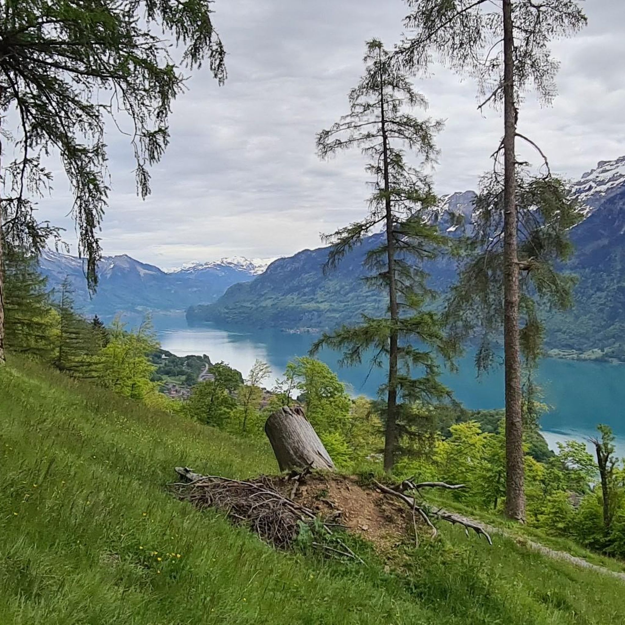
Running Trails around Harder Kulm
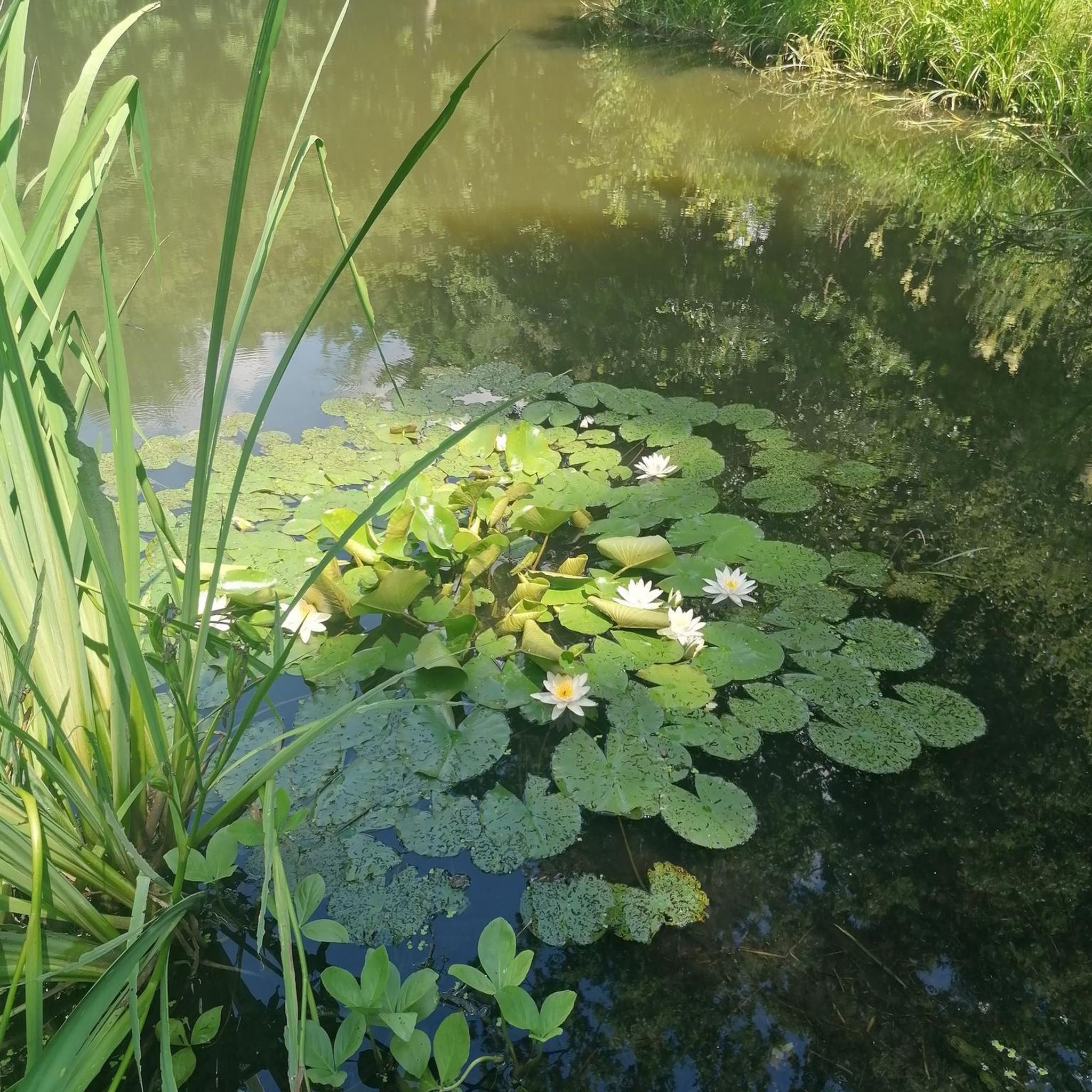
Gravel biking around Harder Kulm
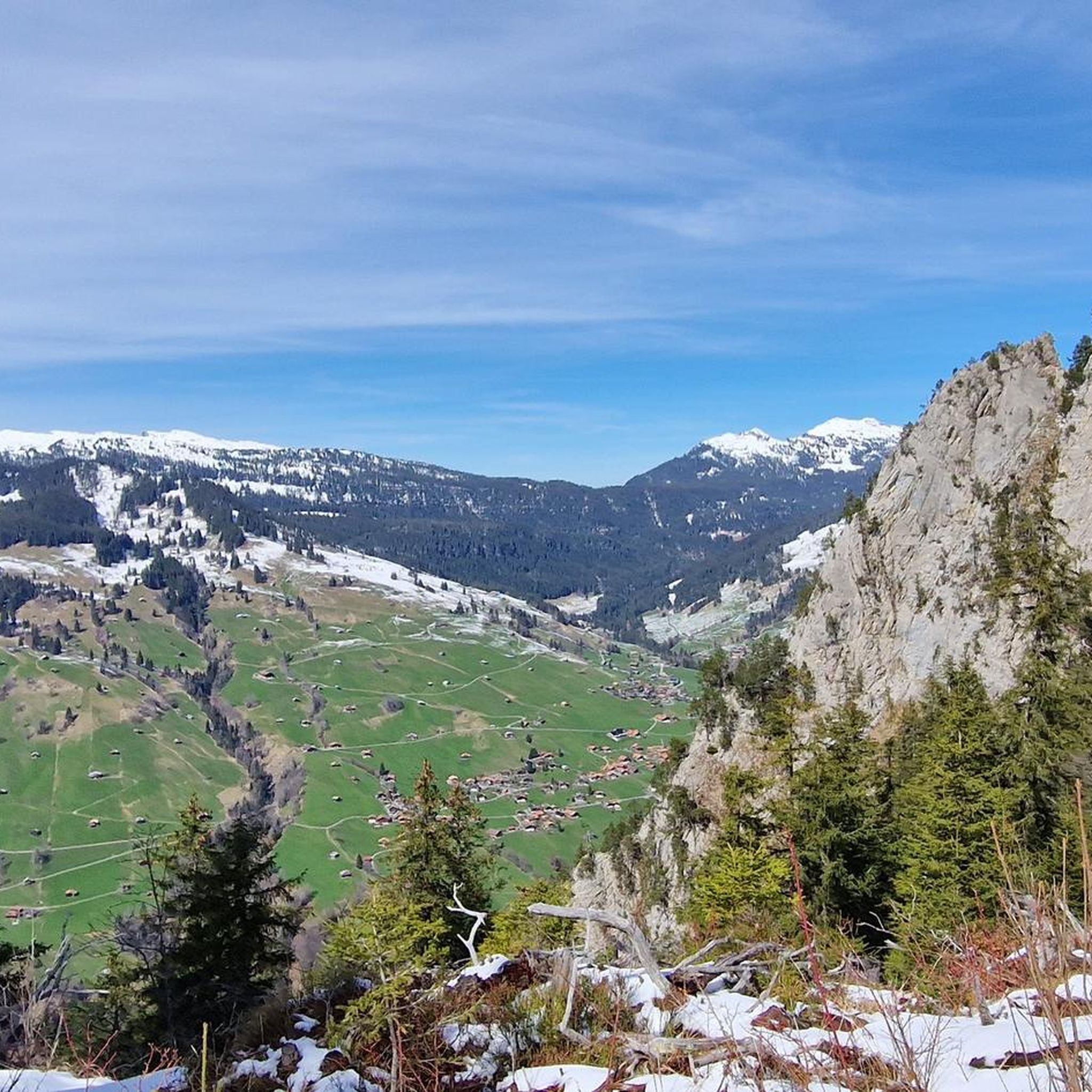
Hiking around Harder Kulm

Mountain Hikes around Harder Kulm


Tips from the Community

From here, the almost one-hour drive up to Schynige Platte starts.
0
0

View over the complete Lake Thun, from Interlaken to Thun.
0
0

Magnificent view! Very quiet, little traffic!
0
0


Great day on the Lakes Route with the day's end lake, Lake Thun
0
0


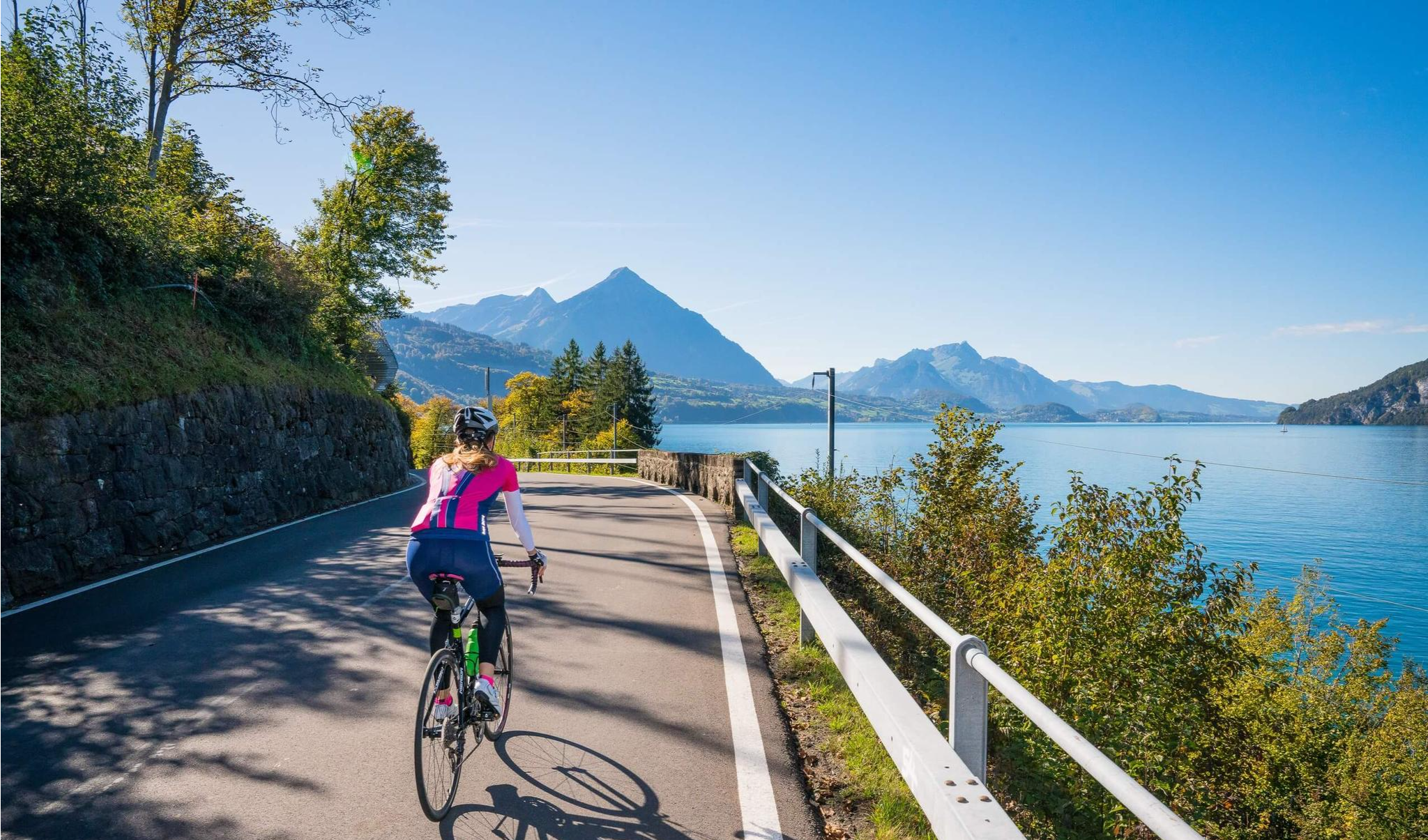
As you cycle along Dorfstrasse, you’ll be treated to breathtaking views of Lake Thun, with the Swiss Alps as a backdrop. As you ride, the deep blue waters of the lake sparkle below, framed by rolling green hills and Alpine peaks that seem to stretch on forever. This stretch offers a mix of gentle inclines and relaxed descents, allowing you to fully enjoy the beauty of the lake and surrounding landscape.
0
0
Frequently Asked Questions
How many road cycling routes are available around Harder Kulm?
There are over 50 road cycling routes around Harder Kulm, catering to various skill levels. You'll find a mix of easy, moderate, and difficult options to explore the Interlaken-Oberhasli region.
What kind of terrain can I expect on road cycling routes near Harder Kulm?
The region offers diverse terrain. Around Interlaken, you'll find flat alluvial plains perfect for leisurely rides. As you venture further, the routes transition into challenging alpine ascents and pass roads, providing significant elevation gains for more ambitious cyclists. You'll encounter everything from scenic lake shores to lush forests and high alpine scenery.
Are there any easy or family-friendly road cycling routes in the Interlaken area?
Yes, the flat alluvial plains around Interlaken offer easier routes suitable for a more relaxed pace or family outings. While specific family-friendly road cycling routes are not detailed, the general terrain around the lakes provides less challenging options. For example, the View of Lake Brienz – View of Lake Brienz loop from Interlaken Ost offers a moderate ride along the scenic shoreline.
What are some challenging road cycling routes for experienced riders?
For experienced riders seeking a challenge, the region offers routes with significant climbs and alpine scenery. The Grindelwald – Grosse Scheidegg loop from Interlaken Ost is a difficult 63.1 km trail leading through alpine landscapes and challenging pass roads. Another demanding option is the Oberhofen Castle – Zwieselberg Scenic Road loop from Interlaken Ost, which covers nearly 95 km with over 1300 meters of elevation gain.
What natural features and viewpoints can I see along the road cycling routes?
Road cycling routes around Harder Kulm offer stunning natural features and viewpoints. You'll enjoy breathtaking views of the turquoise waters of Lake Brienz and the deep blue of Lake Thun, often with the iconic snow-capped peaks of Eiger, Mönch, and Jungfrau in the distance. Many routes follow the lake shores, passing through lush forests and offering panoramic vistas. The Two lakes footbridge - Harder Kulm viewing platform itself provides an exhilarating perspective of the landscape.
Are there any notable landmarks or attractions along the road cycling routes?
Yes, several routes pass by interesting landmarks. For instance, the Oberhofen Castle – View of Lake Thun loop from Interlaken Ost offers views of Oberhofen Castle. You can also explore the town of Interlaken, situated between the two lakes. The region is rich in picturesque villages and scenic spots.
What is the best time of year for road cycling around Harder Kulm?
The region transforms with the seasons, but generally, late spring through early autumn (May to October) offers the best conditions for road cycling. During this period, you'll experience vibrant wildflowers, pleasant temperatures, and accessible mountain passes. Always check local weather and road conditions, especially for higher alpine routes, as snow can persist into early summer or return in late autumn.
What do other road cyclists enjoy most about the Harder Kulm area?
The road cycling routes around Harder Kulm are highly rated by the komoot community, with an average score of 4.6 stars. Cyclists frequently praise the scenic lake shores, the challenging alpine ascents, and the spectacular views of the surrounding Swiss Alps, including the Eiger, Mönch, and Jungfrau. The diversity of terrain, from flat loops to difficult mountain passes, is also a major draw.
Are there circular road cycling routes available?
Yes, many of the popular road cycling routes around Harder Kulm are designed as loops, allowing you to start and finish in the same location. Examples include the Oberhofen Castle – View of Lake Thun loop from Interlaken Ost and the View of Lake Brienz – View of Lake Brienz loop from Interlaken Ost, both offering scenic circular tours.
Where can I find parking for road cycling near Harder Kulm?
Interlaken serves as a central hub for many routes, and parking facilities are available in and around the town. Specific parking details for individual routes are best checked on the respective tour pages or local Interlaken tourism information. Many routes, like those starting from Interlaken Ost, are easily accessible from town parking.
Can I use public transport to access road cycling routes around Harder Kulm?
Interlaken is well-connected by public transport, making it easy to access many road cycling routes. The Interlaken Ost train station is a common starting point for several tours, including the popular lake loops. Swiss public transport is generally bike-friendly, but it's advisable to check specific regulations and peak hour restrictions for carrying bicycles on trains or buses.
Are there cafes or rest stops along the road cycling routes?
Yes, the region is dotted with charming villages and towns along the lake shores and in the valleys, offering numerous opportunities for cafes, restaurants, and rest stops. You'll find places to refuel and enjoy local cuisine, especially in towns like Interlaken, Oberhofen, and along the shores of Lake Brienz and Lake Thun.
Most popular routes around Harder Kulm
Most popular attractions around Harder Kulm

Get inspired with the komoot mobile app


Explore more
Browse the best Road cycling routes in other regions.
