The best cycling routes around Bödmerenwald
4.7
(164)
1,708
riders
30
rides
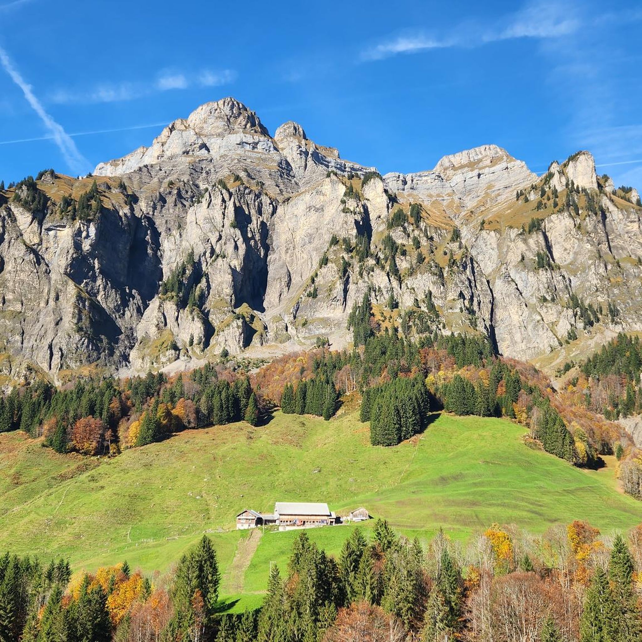
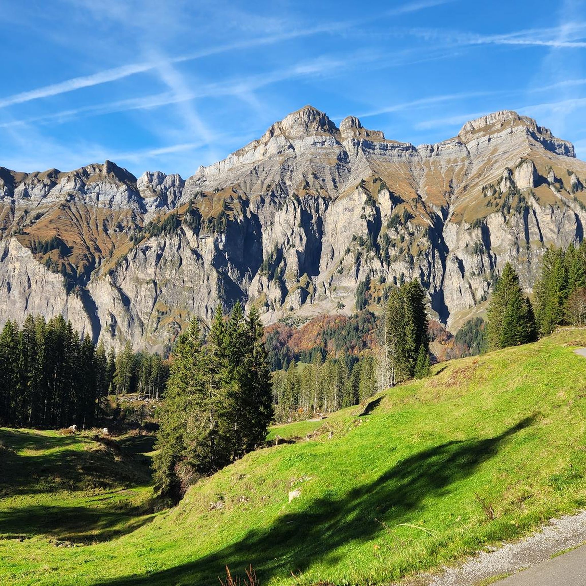
Touring cycling around Bödmerenwald is characterized by its unique high-altitude forest landscape, situated on a plateau exceeding 1,500 meters above sea level. The terrain features rocky and heavily fissured ground, supporting a dense spruce forest, with some areas resembling a primeval forest. This region presents demanding cycling challenges, notably the Pragel Pass, which includes a steep section with gradients up to 18%. The area offers a natural environment for experienced touring cyclists seeking significant elevation changes.
Best touring cycling routes…
Last updated: June 24, 2026
4.1
(8)
115
riders
27.5km
01:56
310m
310m
Moderate bike ride. Good fitness required. Mostly paved surfaces. Suitable for all skill levels.
5.0
(1)
55
riders
21.0km
02:05
930m
930m
Hard bike ride. Very good fitness required. Mostly paved surfaces. Suitable for all skill levels.

Sign up for free
5.0
(1)
23
riders
96.8km
07:47
2,550m
2,550m
Hard bike ride. Very good fitness required. Mostly paved surfaces. Suitable for all skill levels.
5.0
(8)
81
riders
57.3km
04:40
1,760m
1,760m
Hard bike ride. Very good fitness required. Mostly paved surfaces. Suitable for all skill levels.
5.0
(2)
67
riders
32.9km
02:40
640m
640m
Hard bike ride. Very good fitness required. You may need to push your bike for some segments of this route.
Get access to more routes and recommendations from other explorers.
Sign up for free
Already have an account?
Our route recommendations are based on thousands of hikes, rides, and runs completed by other people on komoot.
Start today with a free account
Your next adventure awaits.
Login or Signup
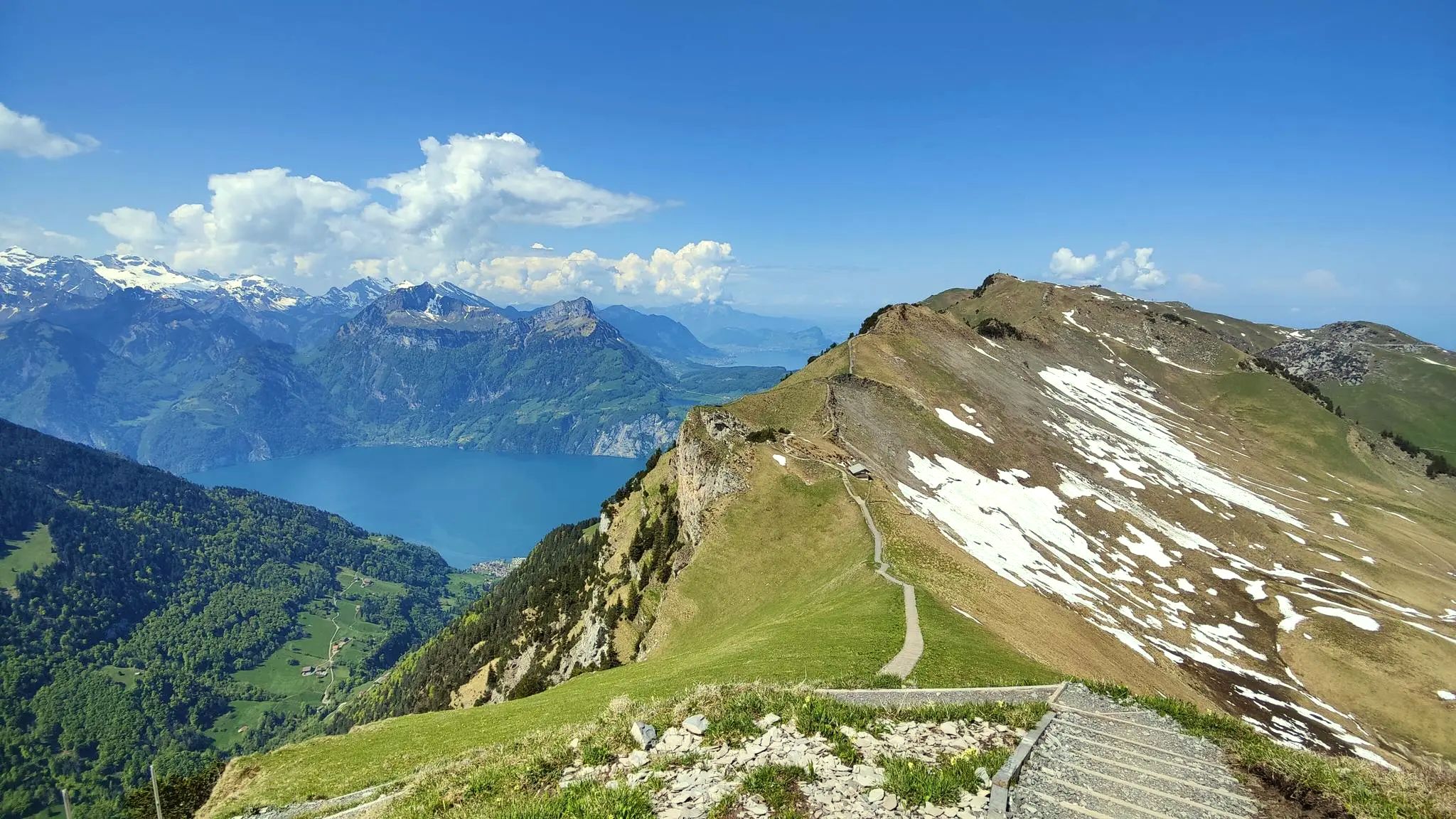
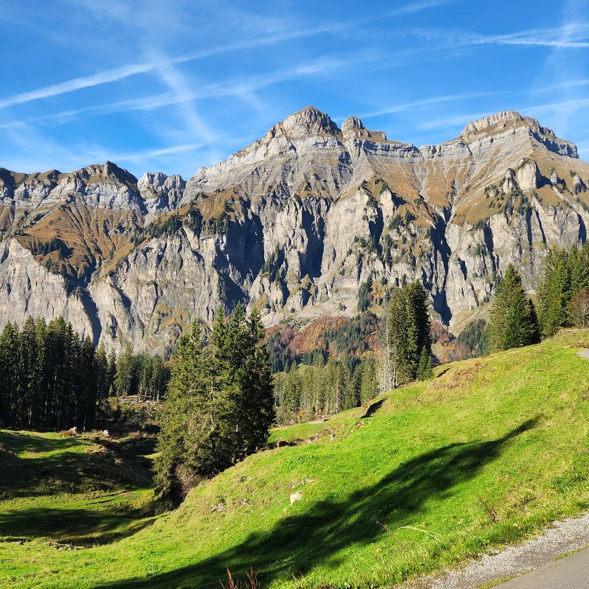
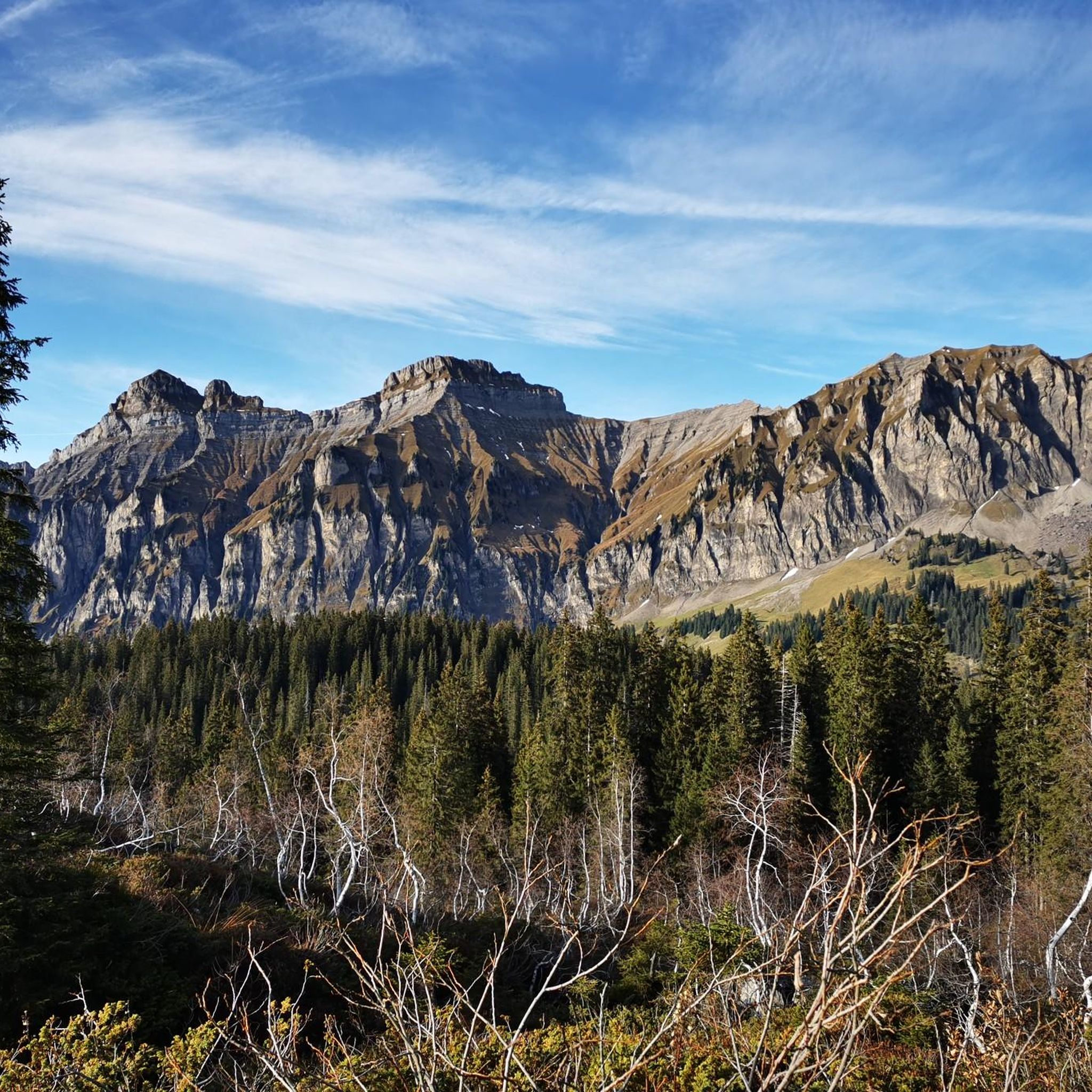
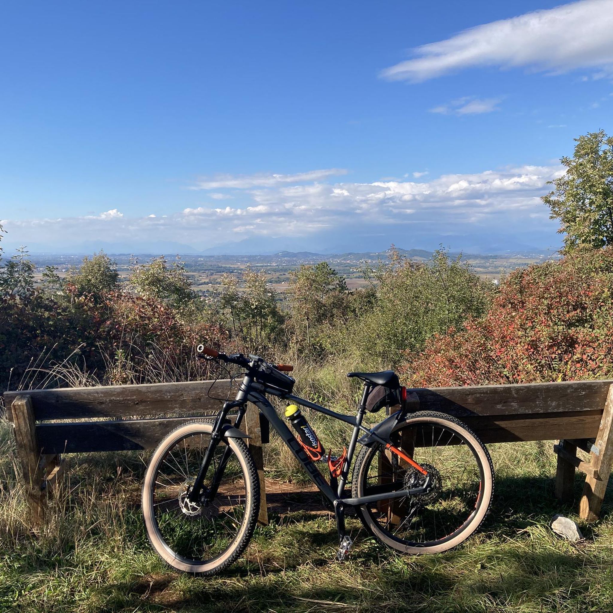
Other adventures around Bödmerenwald

Tips from the Community


Magnificent viewpoint on the Swiss Path between Brunnen and Morschach
9
0

The actual summit is located just east of the restaurant at the top of the pass. Insofar as you can even call it a summit, since the Pragel Pass is completely flat at the top.
0
0

Alpine restaurant with charging station and friendly service
0
0

In the picture Seelisberg and Schillerstein
2
0
In the picture Seelisberg, Schillerstein and the steamer Gallia
2
0

A wonderful place to stop all year round. The lakeside promenade with its many seating areas invites you to gaze out over Lake Lucerne, contemplate the Alpine snow, lose yourself in your thoughts, enjoy, and relax...
1
0

Many roads converge in Brunnen, which is beautifully situated on Lake Lucerne, making it a good starting point, rest stop or destination for a tour of Central Switzerland. Important and good to know for cyclists: The well-known Axenstrasse between Brunnen and Altdorf is currently being renovated and is therefore closed to bicycles. However, there is a free shuttle bus that runs between Brunnen and Sisikon. This means that the closed part of the road can still be included in a tour. You can find more information here: https://www.erlebnisregion-mythen.ch/de/erlebnisse/sommer/bike-velo/axenstrasse-velofahrverbot-brunnen-tellsplatte/
1
0
Frequently Asked Questions
How challenging are the touring cycling routes around Bödmerenwald?
Touring cycling in Bödmerenwald is generally demanding, with the majority of routes rated as difficult. The region features significant elevation changes and challenging terrain, including the formidable Pragel Pass. For example, the Pragel Pass – Pragel Pass Summit loop from Muotathal is a difficult 13.0-mile path known for its steep ascents. The Pragel Pass itself includes a hardcore steep section with an average gradient of 12% over 5.5 kilometers, making it a rewarding experience for seasoned cyclists.
Are there any easier touring cycling options in Bödmerenwald?
While most routes are challenging, there are a few options for those seeking a more moderate experience. The Stoosbahn Funicular – Suworow Bridge loop from Muotathal is a moderate 17.1-mile trail that offers a scenic loop and is a good choice for those looking for less extreme gradients.
What natural features or landmarks can I expect to see while cycling in Bödmerenwald?
The Bödmerenwald region is characterized by its unique high-altitude forest landscape, with much of it resembling a primeval forest. You'll encounter dense spruce forests, rocky and fissured ground, and impressive mountain passes. Notable landmarks include the challenging Pragel Pass Steep Section and the Birch Forest Schwyz. The Plattenweg Trail also offers interesting natural views.
What makes touring cycling in Bödmerenwald unique?
The uniqueness of touring cycling in Bödmerenwald stems from its distinctive natural environment. You'll be cycling through a high-altitude plateau exceeding 1,500 meters above sea level, within a forest that is in a very near-natural state, with parts resembling a primeval forest. This includes ancient spruce trees and increasing amounts of standing and fallen deadwood. The challenging terrain, especially the Pragel Pass, combined with the pristine forest, offers a truly immersive and demanding experience.
What do other touring cyclists enjoy the most about touring cycling in Bödmerenwald?
The touring cycling routes in Bödmerenwald are highly rated by the komoot community, with an average score of 4.8 stars from over 150 reviews. Cyclists frequently praise the challenging nature of the routes, the stunning natural beauty of the primeval-like forest, and the sense of accomplishment gained from tackling passes like the Pragel. The unique high-altitude landscape and the quiet, natural surroundings are often highlighted.
Are there any long-distance touring cycling routes available?
Yes, for those seeking a longer adventure, the Suworow Bridge – Klöntalersee loop from Steinweid is a difficult 60.1-mile (96.8 km) trail. This route leads through varied terrain and typically takes around 7 hours and 47 minutes to complete, offering a substantial challenge for experienced touring cyclists.
Can I find circular touring cycling routes in the Bödmerenwald area?
Yes, many of the touring cycling routes in the Bödmerenwald area are designed as loops, allowing you to start and end in the same location. Examples include the moderate Stoosbahn Funicular – Suworow Bridge loop from Muotathal and the more difficult Pragel Pass – Pragel Pass Summit loop from Muotathal.
What is the best time of year for touring cycling in Bödmerenwald?
Given that a significant portion of Bödmerenwald lies on a high plateau exceeding 1,500 meters above sea level and features cold climate tree compositions, the best time for touring cycling is typically during the warmer months, from late spring to early autumn. This avoids heavy snow accumulation and ensures passes like Pragel are clear. Always check local weather and road conditions before planning your trip.
Is the Pragel Pass accessible for touring cyclists, and what should I know about it?
The Pragel Pass is a central feature for touring cyclists in the region, connecting the Glarus area to the Schwyz basin. It is known for its challenging west side, which covers 660 vertical meters over 5.5 kilometers with an average gradient of 12% and ramps reaching up to 18%. While demanding, it offers a rewarding experience. Be aware that access might be seasonal due to snow, and the road was originally built for military reasons, indicating its robust nature. You can find more information about the pass at Pragel Pass Road Information.
Are there any touring cycling routes that offer views of Chinzig Peak?
Yes, there are routes that provide views of or traverse towards Chinzig Peak. The Chinzig Peak loop from Muotathal is a difficult 28.7-mile route with significant elevation gain. Another option is the Lipplisbüel Mountain Restaurant – Chinzig Peak loop from Muotathal, a difficult 18.5-mile route that also offers access to this area.
How many touring cycling routes are available in the Bödmerenwald region?
There are over 30 touring cycling routes available in the Bödmerenwald region, offering a variety of distances and difficulties. This includes a mix of moderate and predominantly difficult trails, catering to experienced cyclists seeking a challenge.
Most popular routes around Bödmerenwald
Most popular attractions around Bödmerenwald

Get inspired with the komoot mobile app


Explore more
Browse the best Cycling routes in other regions.
