The best cycling routes around Slieveanorra Forest
3.5
(2)
111
riders
12
rides
Touring cycling routes around Slieveanorra Forest are located in the rural north of County Antrim, Northern Ireland. The area features a large coniferous wooded landscape surrounding the hill of Slieveanorra, also known as Orra More. The terrain includes extensive forest tracks, some paved and others unpaved, with significant elevation changes. Panoramic views from Orra Mountain (508m) and the presence of Altnahinch Dam contribute to the varied scenery.
Best touring cycling routes around Slieveanorra Forest
- The most popular touring cycling route…
Last updated: July 9, 2026
6
riders
50.2km
03:14
650m
650m
Hard bike ride. Very good fitness required. Mostly paved surfaces. Suitable for all skill levels.
5
riders
104km
06:38
1,300m
1,300m
Hard bike ride. Very good fitness required. Mostly paved surfaces. Suitable for all skill levels.

Sign up for free
14
riders
29.6km
02:31
490m
490m
Hard bike ride. Very good fitness required. Mostly paved surfaces. Suitable for all skill levels.
5.0
(1)
4
riders
35.4km
02:16
450m
450m
Moderate bike ride. Good fitness required. Mostly paved surfaces. Suitable for all skill levels.
61.1km
04:00
760m
760m
Hard bike ride. Very good fitness required. Mostly paved surfaces. Suitable for all skill levels.
Get access to more routes and recommendations from other explorers.
Sign up for free
Already have an account?
Our route recommendations are based on thousands of hikes, rides, and runs completed by other people on komoot.
Start today with a free account
Your next adventure awaits.
Login or Signup
Popular around Slieveanorra Forest
Tips from the Community

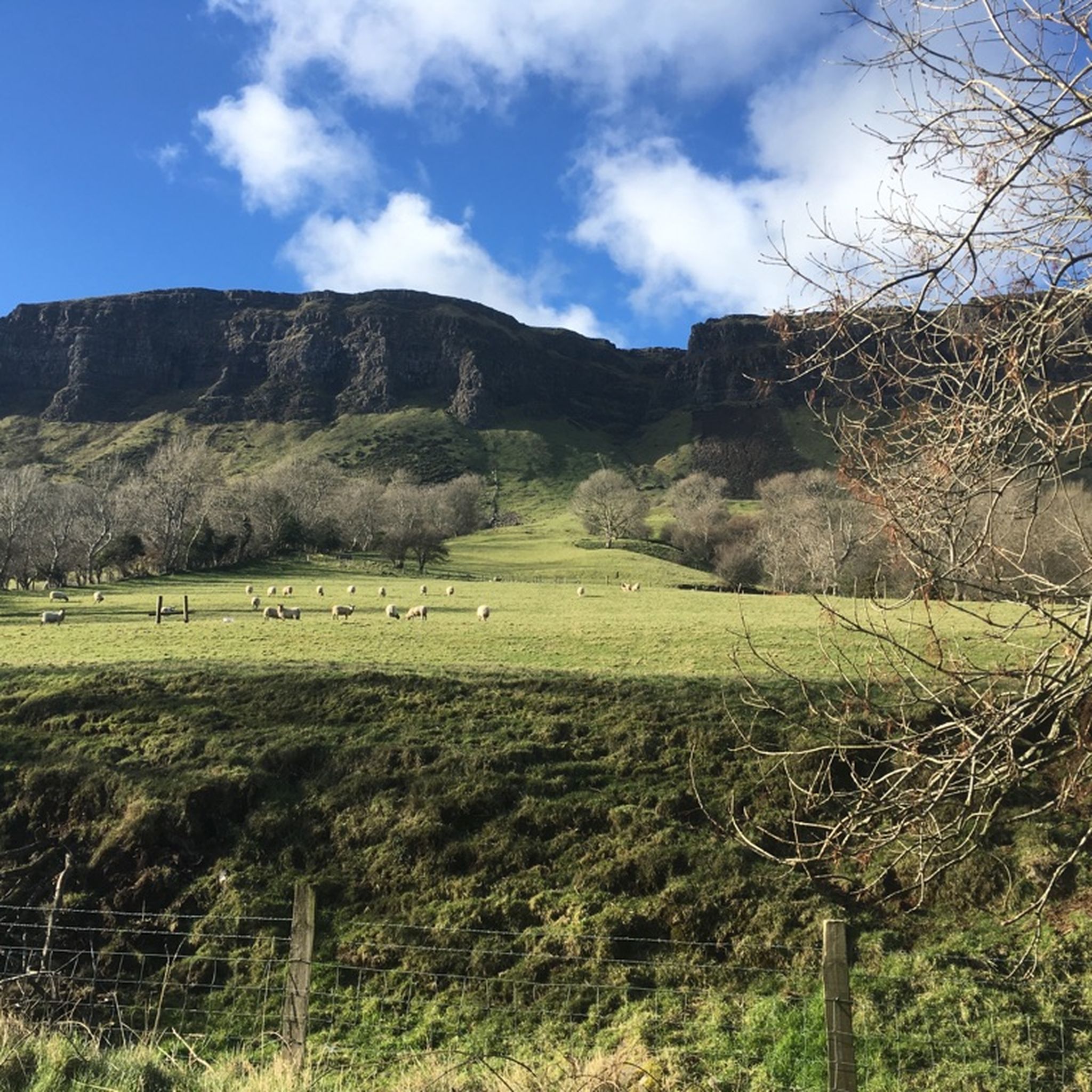
Glenariff is one of nine valleys in the Glens of Antrim. These impressive glens were created by glaciers millions of years ago during the Ice Age and shaped by the tides. Glenarm, Glenariff, Glendun, Glencorp, Glenaan, Glenbllyeamon, Glenshesk, Glencloy, and Glentaisie are a scenic gem located on the coast of Northern Ireland.
0
0

An old-fashioned marina in a fishing village. An idyllic place to stop during the long walk on this stretch of the CCR.
2
0

From the bridge you have a great view of the water
0
0

This is the best preserved court tomb in the Causeway Coast area. A Neolithic tomb dating from c.4000 to 2000 BC. It was excavated twice, in 1935 and 1975. It consists of a horse shoe shaped forecourt that leads into a small chamber. There is a cremation passage behind the chamber containing three pits, one of these pits held the remains of several people. This form of cremation passage is the only one of its type found in Ireland.
0
0
The Queen of the Antrim Glens. Part of the Glenariff Glen has been designated as a National Nature Reserve. The timber boardwalk that winds through the glen and alongside the river gorge was first built about 100 years ago and has been carefully reconstructed to provide one of several spectacular walks. These include Rainbow Trail, Scenic Trail, Viewpoint Trail, and Waterfall Walk Trail...Yes there's a lovely Waterfall.
0
0

Nestled within the sensational landscapes of County Antrim, Glenariff Forest is a natural haven of tranquility and beauty. With its lush greenery, cascading waterfalls, and enchanting woodland trails, this forest offers the perfect location for a scenic nature walk.
3
0
Frequently Asked Questions
How many touring cycling routes are available in Slieveanorra Forest?
There are 15 touring cycling routes around Slieveanorra Forest, offering a variety of experiences for different skill levels. These include 2 easy, 5 moderate, and 8 difficult routes.
What kind of terrain can I expect on touring cycling routes in Slieveanorra Forest?
The routes feature extensive forest tracks, with some sections being paved and others unpaved. You'll encounter significant elevation changes, and some routes involve riding along gravel forest roads. While most tracks are suitable for cycling, be aware that some parts, particularly those intersecting with the Moyle Way, can be boggy and tricky.
Are there any family-friendly touring cycling options in Slieveanorra Forest?
Yes, there are a couple of easier routes that might be more suitable for families or those seeking a less strenuous ride. These typically feature mostly paved surfaces and minimal elevation gain, allowing for leisurely rides of up to two hours. Always check the route details for specific difficulty ratings before heading out.
What are the best times of year to go touring cycling in Slieveanorra Forest?
The summer months are particularly popular, especially around attractions like the Altnahinch Dam. However, the forest offers a fresh, tree-lined environment year-round. For the best experience, consider visiting during drier periods to avoid boggy sections, especially on unpaved tracks. Always check local weather conditions before your ride.
What are some notable natural features or viewpoints I can experience along the cycling routes?
Many routes offer breathtaking panoramic views, especially from the summit of Orra Mountain (508 meters). On clear days, you might see Rathlin Island, parts of the Scottish coast, and other prominent peaks. The Altnahinch Reservoir loop from Bush also provides views of the scenic Altnahinch Dam. The forest itself is a vast coniferous area and an Area of Special Scientific Interest, home to diverse plant and animal life.
Are there any circular touring cycling routes in the area?
Yes, many of the touring cycling routes in Slieveanorra Forest are designed as loops. For example, the Cushendun Village and Harbour – Waterfoot Beach loop from Cargan and the Carnlough Harbour – Waterfoot Beach loop from Cargan are popular circular options, allowing you to start and end at the same point.
What do other touring cyclists enjoy most about cycling in Slieveanorra Forest?
The area is highly rated by the komoot community, with an average score of 3.5 stars. Cyclists often praise the challenging terrain, the rewarding panoramic views from the hills, and the extensive network of forest tracks that provide a diverse riding experience.
Is there parking available for cyclists at Slieveanorra Forest?
While car parking can be limited in some areas, access to the extensive network of forest roads is generally available. It's advisable to check specific starting points for routes for designated parking facilities.
Are there any historical sites or unique natural areas to explore in Slieveanorra Forest?
Beyond the natural beauty, the forest is home to a memorial marking the site of a 1942 airplane crash, adding a point of historical interest. Additionally, the Slieveanorra Nature Reserve features unique peat bogs, including Owennaglush, a rare example of an actively growing raised bog, showcasing different stages of peat formation and erosion.
Can I link up with other forest areas for extended touring adventures?
Yes, Slieveanorra Forest offers the possibility of linking with other nearby forests such as Breen Wood, Ballycastle Forest, and Ballypatrick Forests. This allows for extended touring adventures and exploring a wider range of landscapes in the region.
Are there any cafes or pubs near the cycling routes for refreshments?
While the forest itself is rural, nearby villages like Cushendall, Cargan, and Waterfoot may offer amenities such as cafes, pubs, and accommodation. It's a good idea to plan your route to pass through or near these villages if you require refreshments or a break.
What is the difficulty level of touring cycling routes in Slieveanorra Forest?
The routes vary significantly in difficulty. While some are easy with minimal elevation, many are categorized as 'difficult' due to their length, significant elevation gains (often over 1,500 feet), and the presence of unpaved or challenging segments. Routes like the Glennariff Forest Park to Dooey's Cairn loop — Antrim Coast & Glens are examples of more strenuous options requiring good fitness.
Most popular routes around Slieveanorra Forest

Get inspired with the komoot mobile app


Explore more
Browse the best Cycling routes in other regions.
