The best walks and hikes around Costislost Plantation
4.5
(205)
2,551
hikers
87
hikes
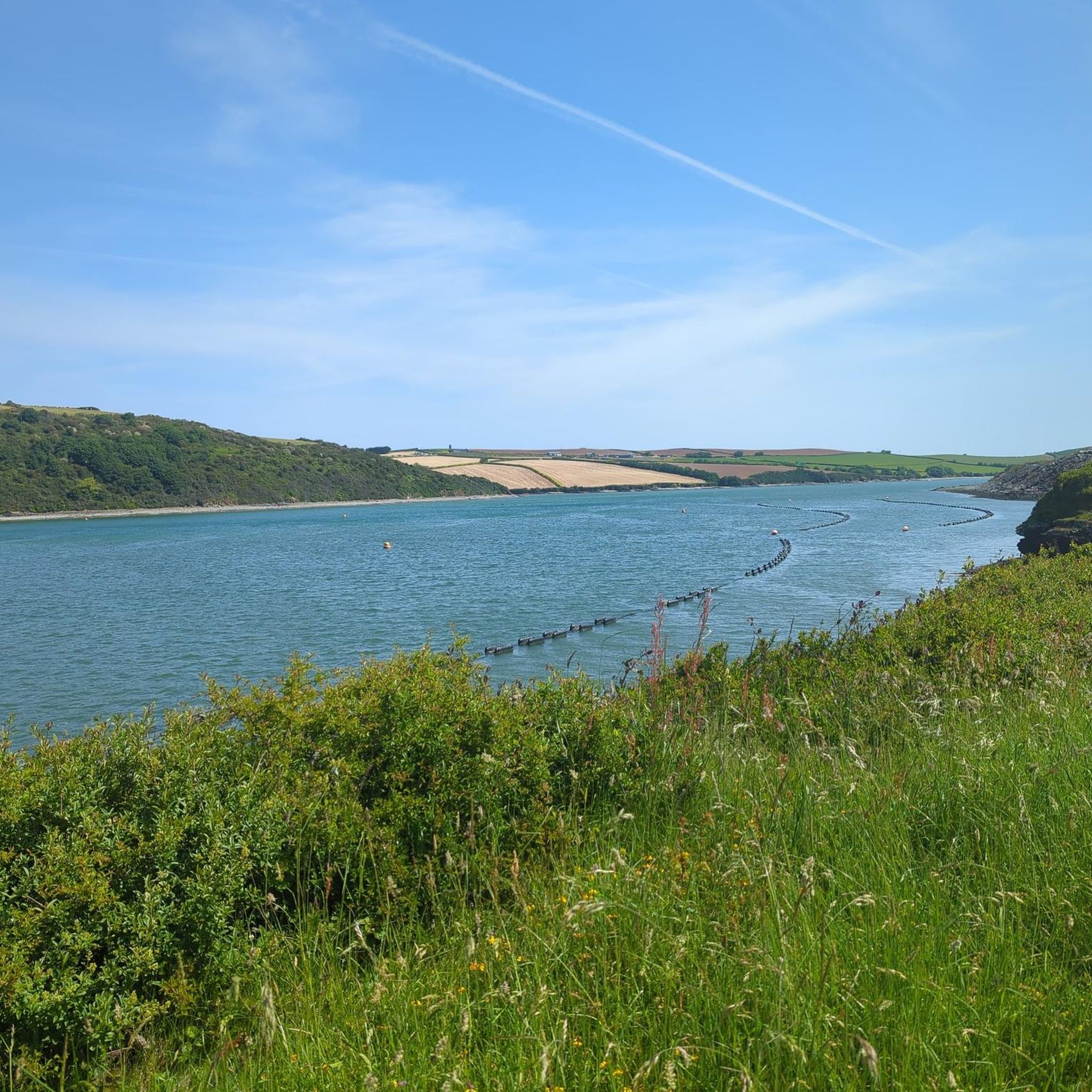
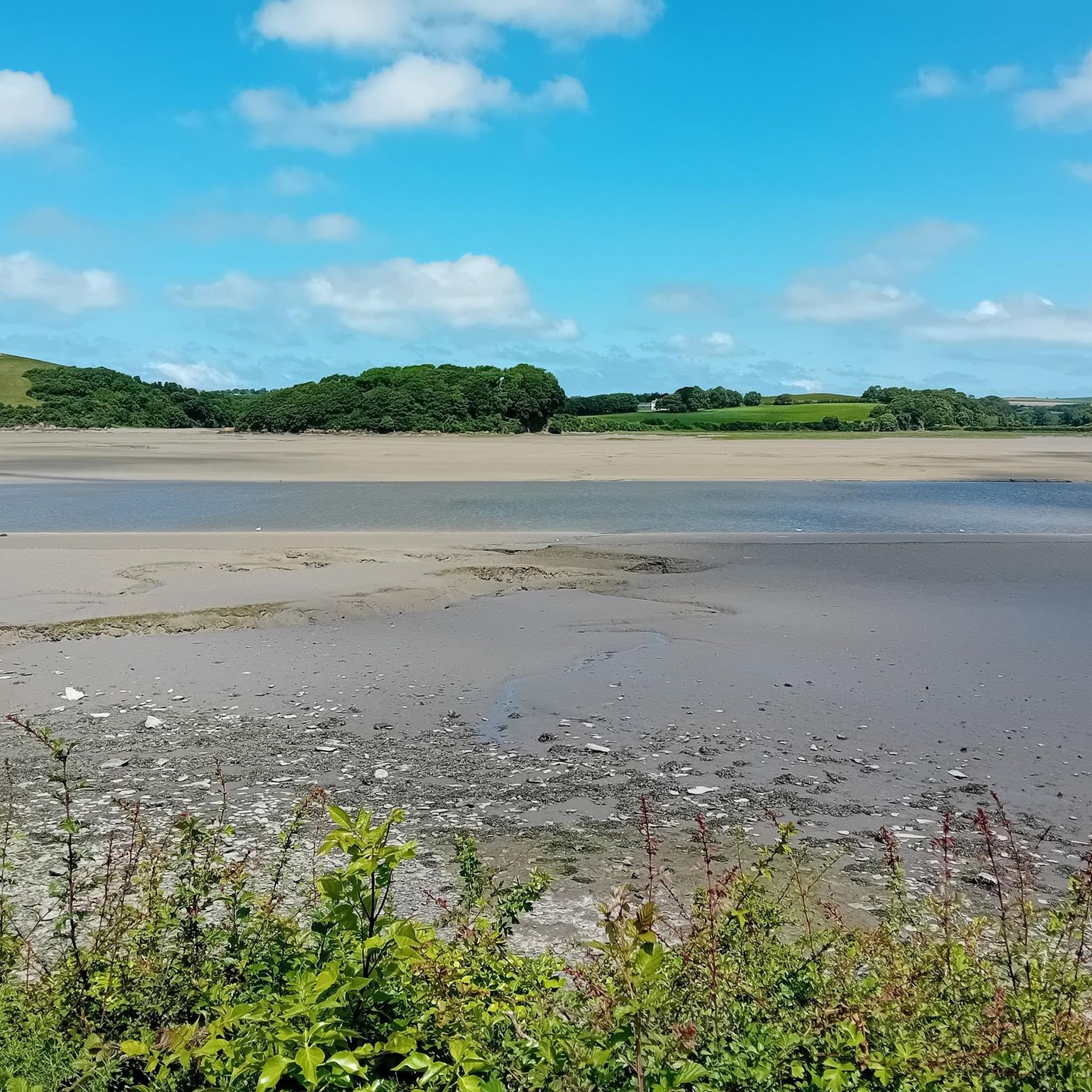
Hiking around Costislost Plantation primarily involves routes connected to the Camel Trail, a multi-use path following a disused railway line. The terrain features natural woodlands, wild marshlands, and picturesque riverside scenery along the River Camel. This area offers a gentle gradient, making it suitable for various abilities, with the broader Cornish countryside providing a diverse backdrop for outdoor exploration.
Best hiking trails around Costislost Plantation
- The most popular hiking route is The Camel Trail – Wadebridge Town Centre loop from Bishops Wood Car Park, a 5.0 miles (8.0 km) trail that takes 2 hours 4 minutes to complete. This moderate route follows the tranquil River Camel.
- Another top favourite among local hikers is Camel Valley Vineyard – Camel Trail Tea Garden loop from Bishops Wood Car Park, a moderate 6.2 miles (10.0 km) path. This trail offers views of the Camel Valley and its vineyards.
- Local hikers also love the Camel Trail Tea Garden – Wadebridge Town Centre loop from Nanstallon, an 11.1 miles (17.9 km) trail leading through riverside paths and woodlands, often completed in about 4 hours 37 minutes.
- Hiking around Costislost Plantation is defined by riverside paths, natural woodlands, and former railway lines. The network offers options for different ability levels, from easy strolls to moderate hikes.
- The routes in Costislost Plantation are highly rated by the komoot community with an average score of 4.5 stars from over 160 reviews. More than 2,000 hikers have used komoot to explore Costislost Plantation's varied terrain.
Last updated: October 11, 2026
5.0
(1)
37
hikers
Moderate hike. Good fitness required. Easily-accessible paths. Suitable for all skill levels.
4.0
(3)
32
hikers
Moderate hike. Good fitness required. Easily-accessible paths. Suitable for all skill levels.

4.0
(3)
42
hikers
Moderate hike. Good fitness required. Easily-accessible paths. Suitable for all skill levels.
5.0
(1)
30
hikers
3.13km
00:49
20m
20m
Easy hike. Great for any fitness level. Easily-accessible paths. Suitable for all skill levels.
5.0
(1)
6
hikers
9.21km
02:33
160m
160m
Moderate hike. Good fitness required. Easily-accessible paths. Suitable for all skill levels.
Get access to more routes and recommendations from other explorers.
Already have an account?
Our route recommendations are based on thousands of hikes, rides, and runs completed by other people on komoot.
Start today with a free account
Your next adventure awaits.

Tips from the Community

There’s free parking at the Brough Arms pub, making it an excellent starting point for the Camel Trail. Suitable for walkers, cyclists, and horse riders alike, the trail follows a well-designed multi-use path.
0
0

A train stops at 10 a.m. and 1:50 p.m. Worth seeing
0
0
Delicious food and drinks. Friendly service! Beautiful garden. You can relax.
0
0
At 10 a.m. and 1:50 p.m., a train stops and the locomotive is changed. Worth seeing!
0
0
A train arrives at 10:00 a.m. and 1:50 p.m. The locomotive is re-hitched.
0
0

Beautiful, typical English house on the Camel Trail
0
0
Idyllic tea garden with a small souvenir shop and wine from the neighboring vineyard
0
0
Frequently Asked Questions
How many hiking trails are available around Costislost Plantation?
There are over 80 hiking trails around Costislost Plantation, offering a wide range of options for different abilities and preferences. Many of these routes connect to the extensive Camel Trail network.
What kind of terrain can I expect on the hiking trails near Costislost Plantation?
The terrain primarily features natural woodlands, wild marshlands, and picturesque riverside scenery along the River Camel. The Camel Trail itself follows a disused railway line, providing a largely traffic-free and gently inclined path, making it suitable for various abilities. You'll find diverse landscapes as the trail skirts the River Camel, which broadens into an estuary.
Are there any easy hiking trails suitable for beginners or casual walkers?
Yes, approximately half of the trails around Costislost Plantation are rated as easy. These routes often follow the gentle gradients of the Camel Trail, providing accessible options for beginners or those looking for a relaxed stroll. An example of an easy route is the Camel Trail Tea Garden – Dunmere Halt loop from Nanstallon, which is just over 3 km long.
Are the hiking trails around Costislost Plantation suitable for families with children?
Yes, the area is very family-friendly, especially due to its connection to the Camel Trail. The trail's gentle incline and traffic-free nature make it ideal for walks with children. You can choose from many easy routes, such as the Camel Trail Tea Garden – Dunmere Halt loop from Nanstallon, which is short and accessible.
Can I bring my dog on the hiking trails near Costislost Plantation?
Many trails in the area, particularly those along the Camel Trail, are dog-friendly. It's generally recommended to keep dogs on a lead, especially in areas with livestock or where wildlife is present, such as the marshlands along the River Camel which are home to many bird species. Always ensure to clean up after your pet.
What are the typical lengths and durations of hikes in this area?
Hikes around Costislost Plantation vary significantly in length and duration. You can find shorter walks, such as the Camel Trail Tea Garden – Dunmere Halt loop from Nanstallon, which is about 3 km and takes under an hour. Longer routes, like the Camel Trail Tea Garden – Wadebridge Town Centre loop from Nanstallon, can be up to 18 km and take over 4 hours to complete.
Are there any circular hiking routes available?
Yes, there are several circular routes that allow you to start and end at the same point. For example, the The Camel Trail – Wadebridge Town Centre loop from Bishops Wood Car Park is a popular moderate 8 km circular trail that follows the tranquil River Camel.
What natural features or wildlife might I encounter on the trails?
The trails offer diverse natural features, including natural woodlands, riverside scenery, and wild marshlands. The River Camel estuary is particularly notable for its birdlife, with hundreds of species such as Little Egrets, Sandpipers, and Shoveller Ducks. Cornwall's mild climate also supports lush plant life, including native species and sometimes vibrant displays of rhododendrons and camellias in general woodlands.
Is there parking available for hikers near Costislost Plantation?
While specific parking for Costislost Plantation itself isn't detailed, access points to the Camel Trail, such as Bishops Wood Car Park, often provide parking facilities for hikers. For routes like the The Camel Trail – Wadebridge Town Centre loop from Bishops Wood Car Park, parking is available at the starting point.
How can I get to the hiking trails using public transport?
The Camel Trail, which is central to hiking in this area, is accessible from various towns and villages along its route, many of which are served by local bus services. You can plan your journey to towns like Wadebridge or Bodmin, which have direct access to the trail. For more detailed information on the Camel Trail, you can visit Cornwall Council's website.
What do other hikers say about the trails around Costislost Plantation?
The hiking routes around Costislost Plantation are highly rated by the komoot community, with an average score of 4.5 stars from over 160 reviews. Hikers often praise the tranquil riverside paths, the accessibility of the Camel Trail, and the beautiful natural woodlands. Many appreciate the variety of routes suitable for different fitness levels.
Are there any cafes or pubs along the hiking routes?
Yes, as many routes connect to the Camel Trail, you'll find opportunities for refreshments. Towns like Wadebridge, which is part of routes such as the The Camel Trail – Wadebridge Town Centre loop from Bishops Wood Car Park, offer cafes, pubs, and restaurants. The Camel Trail Tea Garden is also a known stop on several loops, providing a convenient place for a break.
What is the best time of year to go hiking around Costislost Plantation?
Cornwall's mild climate, influenced by the Gulf Stream, makes hiking enjoyable for much of the year. Spring and autumn offer pleasant temperatures and beautiful scenery, with spring bringing lush greenery and autumn showcasing vibrant foliage. Summer is also popular, though trails can be busier. Winter hiking is possible, but be prepared for potentially wetter conditions.
Most popular routes around Costislost Plantation

Get inspired with the komoot mobile app


Explore more
Browse the best Hikes in other regions.
