The best road cycling routes around Bückeberg
4.5
(774)
7,958
riders
609
rides
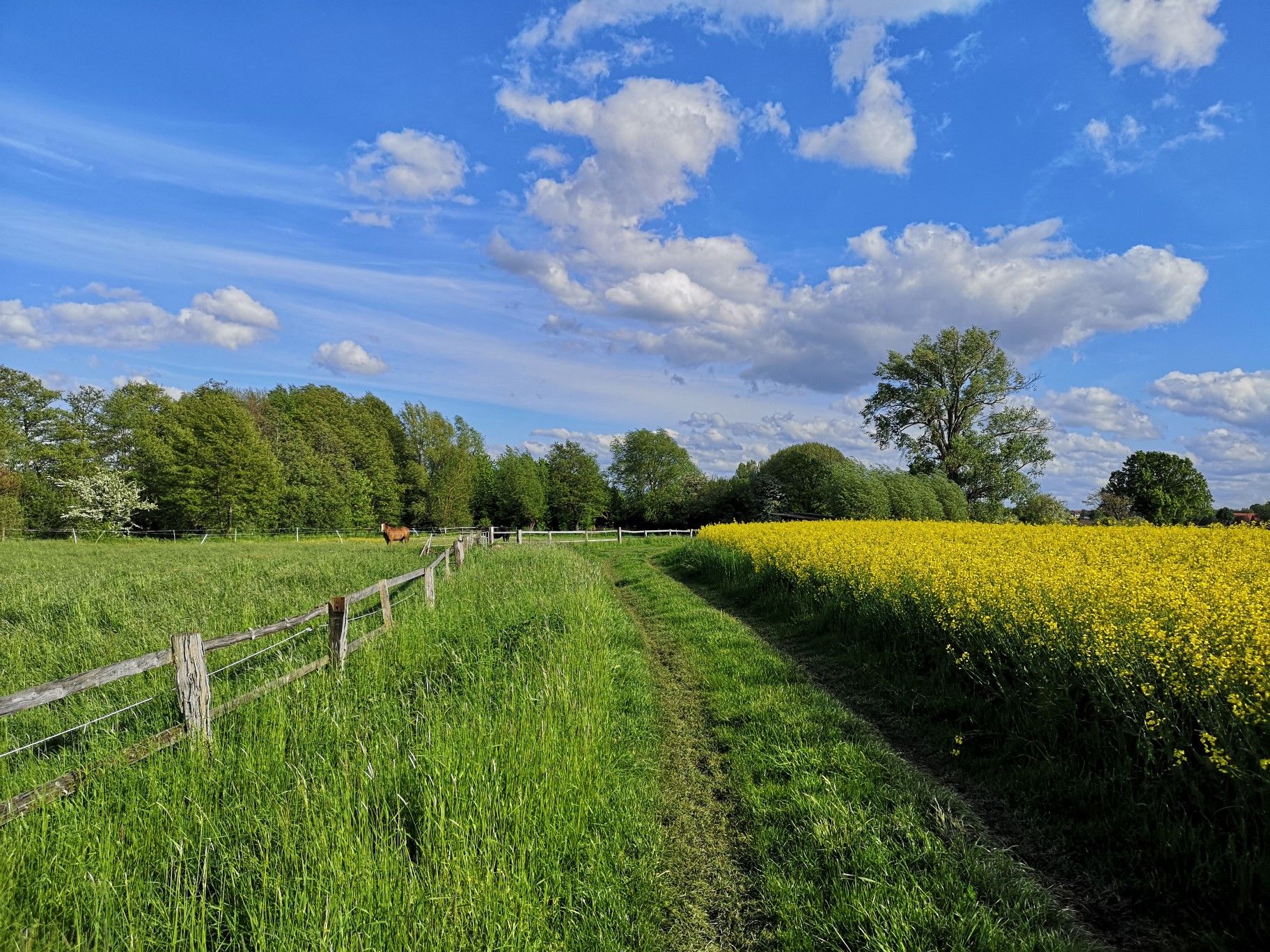
Road cycling around Bückeberg offers a diverse landscape characterized by rolling hills and dense mixed forests. This small hill range, stretching approximately 20 kilometers, features varied elevations with both gentle slopes and steeper ascents. Cyclists can navigate well-paved roads that wind through extensive mixed woods, providing shaded environments and scenic views. The region's topography includes prominent hills like the Diebische Ecke, offering a mix of challenges and enjoyable descents.
Best road cycling routes around Bückeberg
- The most popular road cycling…
Last updated: July 4, 2026
4.8
(4)
32
riders
55.2km
02:37
660m
660m
Moderate road ride. Good fitness required. Mostly well-paved surfaces and easy to ride.
18
riders
42.6km
02:16
750m
750m
Moderate road ride. Good fitness required. Mostly well-paved surfaces and easy to ride.

Sign up for free
3.0
(1)
14
riders
26.0km
01:15
290m
290m
Easy road ride. Great for any fitness level. Mostly well-paved surfaces and easy to ride.
13
riders
43.6km
01:53
260m
260m
Easy road ride. Great for any fitness level. Mostly well-paved surfaces and easy to ride.
8
riders
48.1km
02:11
390m
390m
Moderate road ride. Good fitness required. Mostly well-paved surfaces and easy to ride.
Get access to more routes and recommendations from other explorers.
Sign up for free
Already have an account?
Our route recommendations are based on thousands of hikes, rides, and runs completed by other people on komoot.
Start today with a free account
Your next adventure awaits.
Login or Signup



Other adventures around Bückeberg

Tips from the Community


The strawberry fields for self-picking are just across the street. And the strawberry cake isn't far behind either.
0
0

A beautiful old bridge over the Weser. Always worth a photo.
2
0

A lovely café with homemade cakes, and a farm shop next door that has just about everything. Rooms for rent for bed and bikes
0
0


The Protestant church is a listed church building in Kleinenbremen, a district of Porta Westfalica in the Minden-Lübbecke district (North Rhine-Westphalia).
0
0

The Old Harbor in Rinteln is a historic site that reflects the town's close connection to the Weser River and its maritime past. Originally, it served as a transshipment point for goods transported along the Weser and was a central component of Rinteln's economic life. Fishing was particularly important in the 14th century; the Rinteln Fishermen's Guild was so influential that it received its own charter. At that time, the Weser River was rich in fish stocks, with pike, perch, carp, and barbel in particular being sought after. Pike and salmon had to be offered to the town's authorities before they could be sold elsewhere. Herring, transported upstream from Bremen, also played an important role in the town's diet. Today, the Old Harbor presents itself as an idyllic spot along the Weser promenade, inviting visitors to linger. A newly constructed bridge over the Old Harbor connects the Government Island with the promenade, creating an attractive circular route for walkers and cyclists. The surrounding area offers picturesque views of the Weser River and Rinteln's historic old town.  Recently, plans to enhance the Old Harbor were presented as part of the "#wesererleben" project. The goal is to make the area even more attractive by creating leisure and recreational areas, such as a waterfront stage, flowering tree-lined avenues, and restaurants. The city of Rinteln has received funding totaling €469,000 for its implementation.  For cyclists, the Old Harbor is a worthwhile stop along the Weser Cycle Route. The combination of historical significance, scenic beauty, and planned modern infrastructure makes this location a special highlight in Rinteln.
2
0
A nice place to linger along the route.
2
0
Frequently Asked Questions
What kind of terrain can I expect when road cycling in Bückeberg?
The Bückeberg region is characterized by rolling hills and dense mixed forests, offering a diverse landscape for road cyclists. You'll find well-paved roads winding through extensive woods, with both gentle slopes and steeper ascents. The topography includes prominent hills like the Diebische Ecke, providing a mix of challenges and enjoyable descents.
How many road cycling routes are available in Bückeberg?
There are over 600 road cycling routes available in Bückeberg. This includes a wide range of options, with over 200 easy routes, more than 350 moderate routes, and nearly 60 routes for advanced cyclists seeking a greater challenge.
Are there any easy road cycling routes suitable for beginners in Bückeberg?
Yes, Bückeberg offers over 200 easy road cycling routes. An example is the View of the Bückeberg – Krainhagen Climb loop from Bad Eilsen, which is 26.0 km long with 286 meters of elevation gain, typically completed in about 1 hour 14 minutes. Another accessible option is the View of Schaumburger Land – Meinsen Village Church loop from Nienstädt, covering 42.9 km with 257 meters of elevation.
What are some of the more challenging road cycling routes in Bückeberg?
For those seeking a challenge, Bückeberg has nearly 60 difficult routes. Moderate routes like the Riesbach Valley Road – Ascent to Hattendorf loop from Bad Eilsen, at 55.1 km with 663 meters of elevation, offer significant climbs. Another moderate option with notable elevation is the Cycle path along the B83 – Deckbergen Climb loop from Bad Eilsen, which is 42.5 km long with 753 meters of ascent.
What interesting landmarks or natural features can I see along the road cycling routes in Bückeberg?
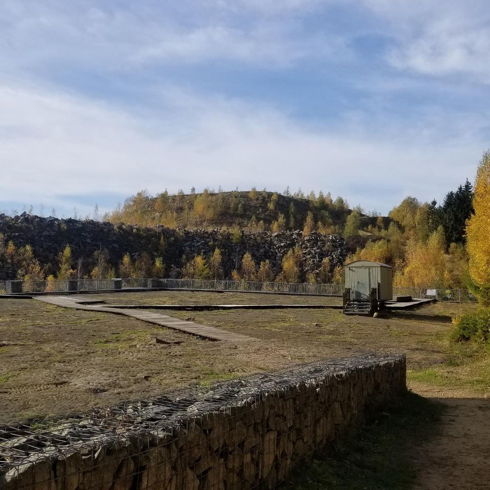
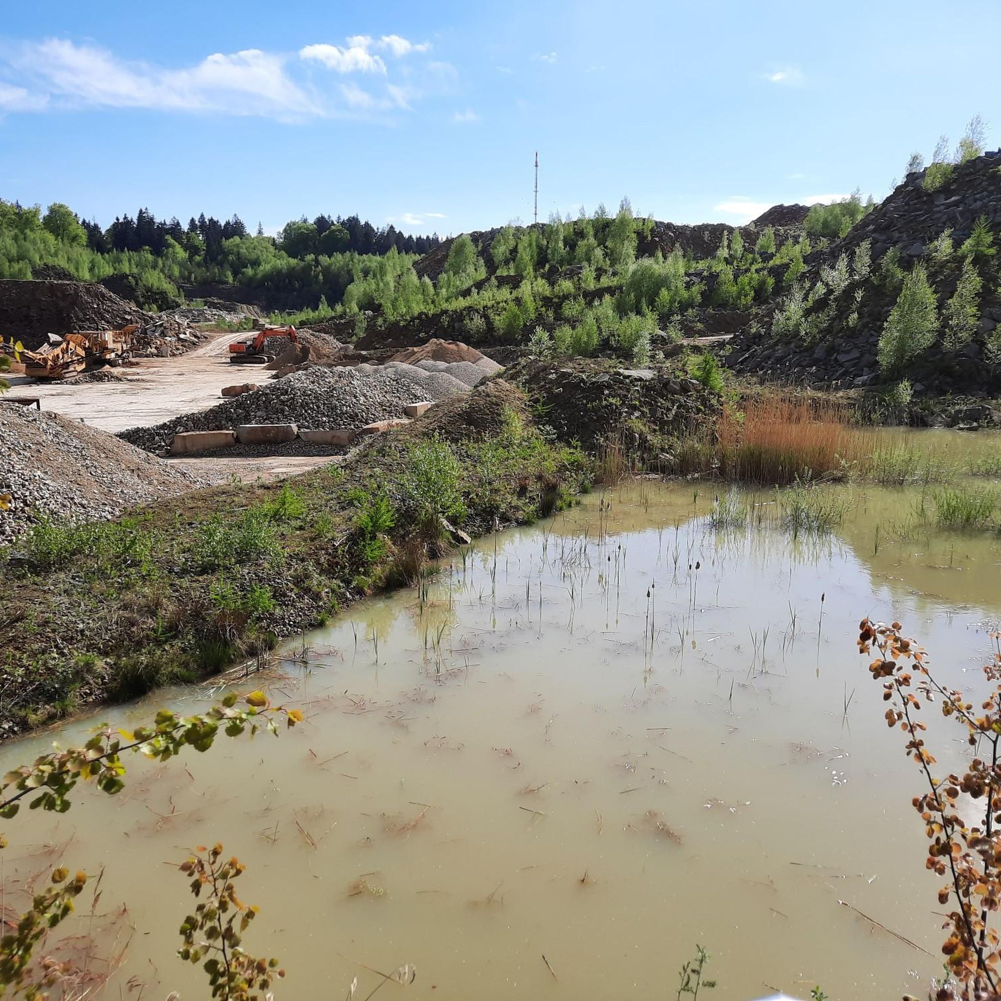
The Bückeberg region is rich in unique attractions. You can visit the 140-million-year-old fossilized Dinosaur Tracks in the Obernkirchen Sandstone Quarries. Other points of interest include the Bremsschacht 7 Mining Heritage Site, detailing the region's coal mining history, and the Old Railway Bridge in Bückeberg Forest. For a peaceful break, the Brandshof Shelter is a popular resting spot.
What do other road cyclists say about their experience in Bückeberg?
The road cycling routes in Bückeberg are highly rated by the komoot community, with an average score of 4.6 stars from over 700 reviews. Cyclists often praise the diverse terrain, from gentle slopes to challenging ascents, and the scenic beauty of the mixed forests and panoramic vistas.
Are there any circular road cycling routes in Bückeberg?
Yes, many of the road cycling routes in Bückeberg are designed as loops. Examples include the Riesbach Valley Road – Ascent to Hattendorf loop from Bad Eilsen and the View of the Bückeberg – Krainhagen Climb loop from Bad Eilsen, allowing you to start and finish at the same point.
Is Bückeberg suitable for family-friendly road cycling?
While Bückeberg features varied terrain with some challenging climbs, there are over 200 easy routes that can be suitable for families, depending on their experience level. These routes often traverse scenic forests and quiet side roads, providing a pleasant environment for a family outing. Always check the route's difficulty and elevation profile to ensure it matches your family's capabilities.
Where can I find parking for road cycling routes in Bückeberg?
The nearby town of Bückeburg serves as a convenient starting point for many routes and offers cyclist-friendly amenities, including modern bicycle parking facilities. Specific parking information for individual routes can often be found in the route descriptions on komoot.
What is the best time of year to go road cycling in Bückeberg?
The extensive mixed woods, predominantly beech and spruce, offer picturesque scenery and shaded routes, making spring and autumn particularly pleasant for cycling. The varied topography provides diverse terrain suitable for road cycling throughout the warmer months, from flat sections to more challenging climbs. Always check local weather conditions before heading out.
Are there any routes that offer views of the Schaumburger Land region?
Yes, several routes provide scenic views of the surrounding Schaumburger Land. The View of Schaumburger Land – Meinsen Village Church loop from Nienstädt is specifically designed to showcase these vistas, offering a pleasant ride through the landscape.
Most popular routes around Bückeberg
Most popular attractions around Bückeberg

Get inspired with the komoot mobile app


Explore more
Browse the best Road cycling routes in other regions.
