The best road cycling routes around Brelinger Berge
4.4
(167)
2,841
riders
141
rides
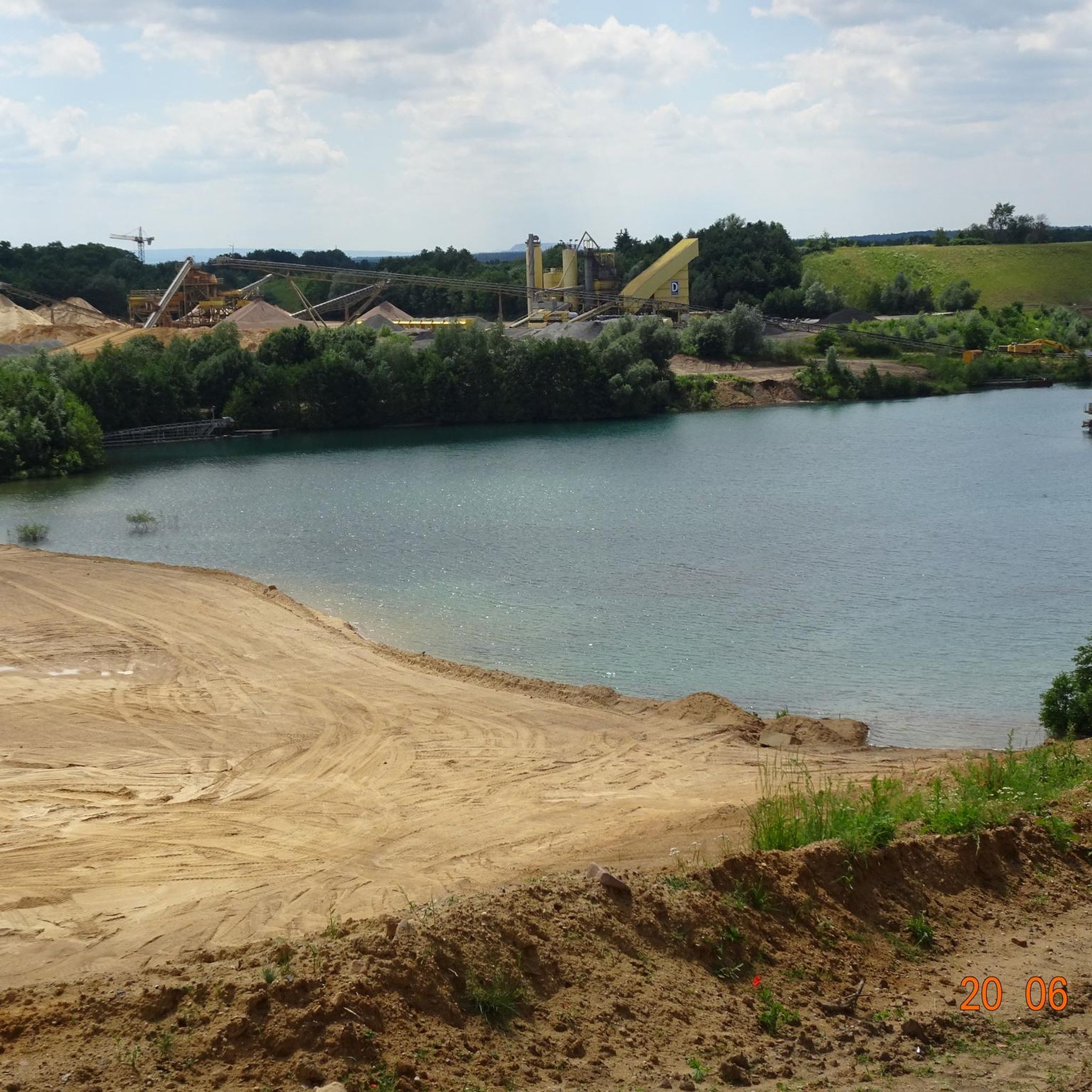
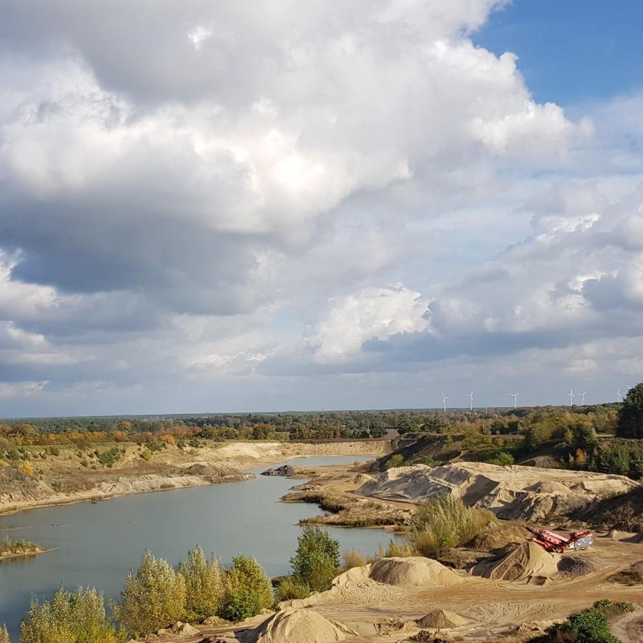
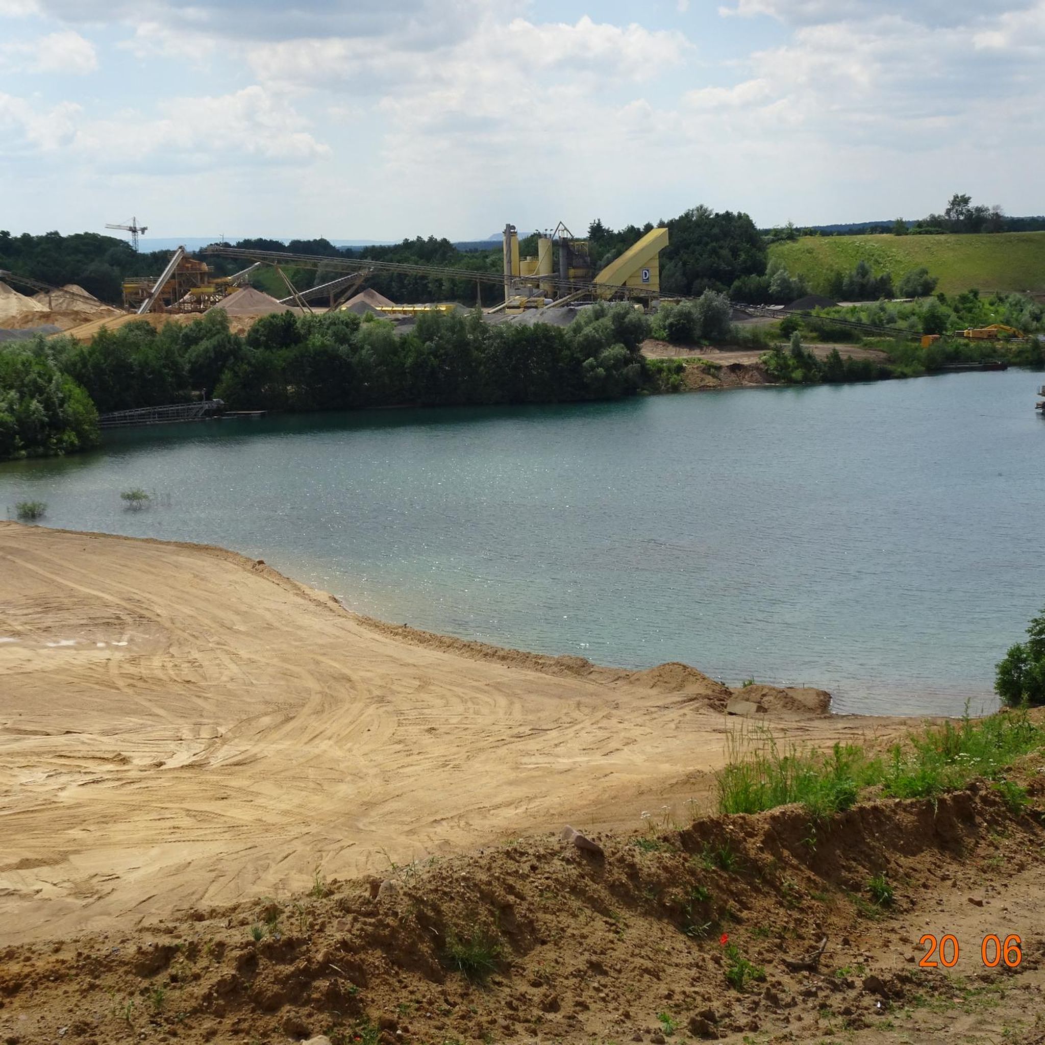
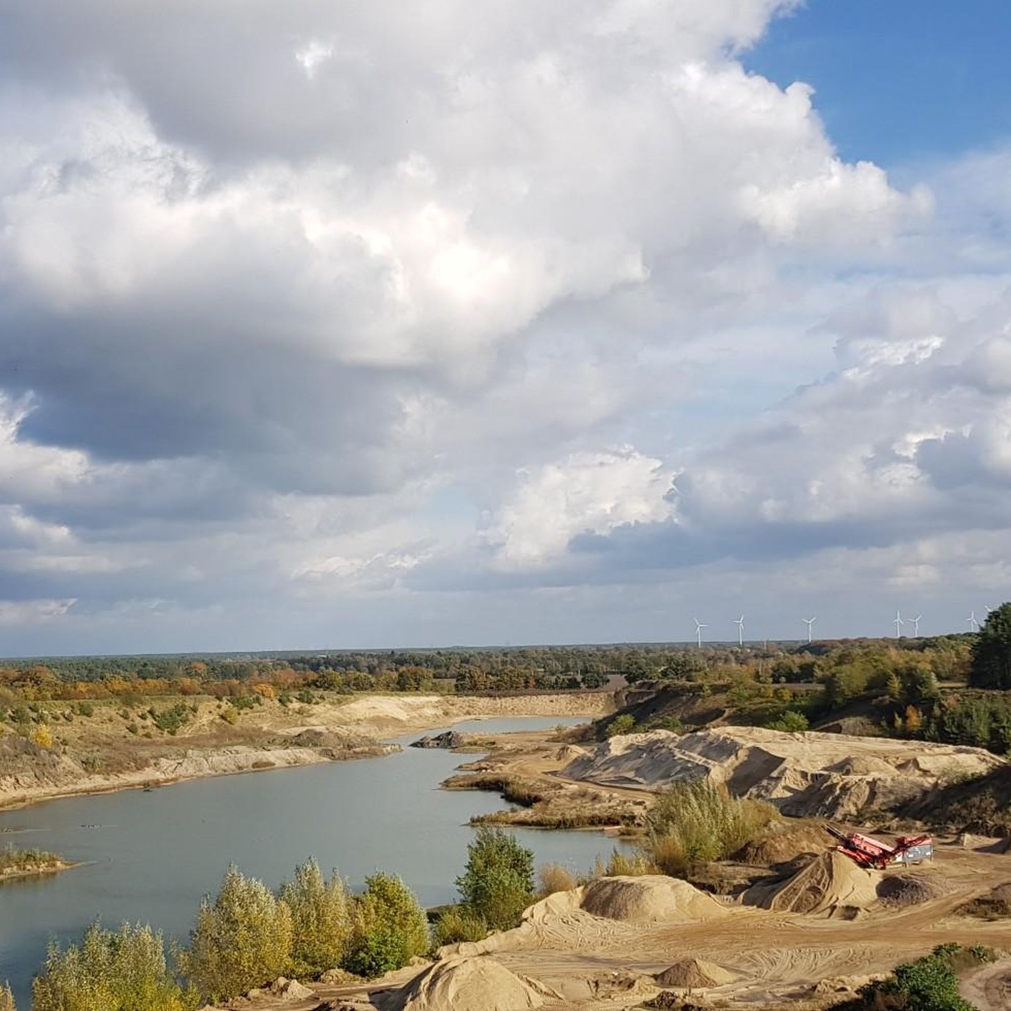
Road cycling around Brelinger Berge offers routes through a landscape shaped by the Saale ice age, characterized by gentle hills and protected mixed forests. The region, an elevation of 92 meters, features well-maintained asphalt roads suitable for road bikes. Cyclists can navigate varied terrain with moderate ascents and descents, providing options for different fitness levels. The area's geological history and renatured landscapes contribute to its appeal for outdoor activities.
Best road cycling routes around Brelinger Berge
- The most popular road…
Last updated: July 12, 2026
5.0
(4)
162
riders
17.0km
00:42
60m
60m
Easy road ride. Great for any fitness level. Mostly well-paved surfaces and easy to ride.
10
riders
Moderate road ride. Good fitness required. Some segments of this route may be unpaved and difficult to ride.

Sign up for free
5.0
(1)
8
riders
55.8km
02:20
140m
140m
Moderate road ride. Good fitness required. Mostly well-paved surfaces and easy to ride.
7
riders
Moderate road ride. Good fitness required. Some segments of this route may be unpaved and difficult to ride.
5.0
(1)
8
riders
Easy road ride. Great for any fitness level. Mostly well-paved surfaces and easy to ride.
Get access to more routes and recommendations from other explorers.
Sign up for free
Already have an account?
Our route recommendations are based on thousands of hikes, rides, and runs completed by other people on komoot.
Start today with a free account
Your next adventure awaits.
Login or Signup
Tips from the Community

It's a completely quiet section with no traffic. The highlight is the old gate opposite the waterworks, which has been beautifully restored.
0
0
The surface was good in places, but patched up quite badly in places. But it was still rideable, and traffic was fairly manageable.
1
0

Little traffic, easy to drive
1
0
beautiful route, good to drive
0
0

The cycle path is easy to ride on. It is partly smooth, but there are also small cracks and bumps in places. The cycle path is quieter, the road is faster.
2
0
Along the railway line, first on a new and good surface, then on an older patchwork. The road is quite narrow and cars drive there too.
3
0

nice route to ride on a racing bike
0
0
Frequently Asked Questions
How many road cycling routes are available in Brelinger Berge?
There are over 140 road cycling routes around Brelinger Berge, offering a wide range of options for different skill levels. You'll find approximately 50 easy routes and over 90 moderate routes to explore.
What kind of terrain can I expect on road cycling routes in Brelinger Berge?
The road cycling routes in Brelinger Berge feature well-maintained asphalt roads, ideal for road bikes. The landscape, shaped by the Saale ice age, offers varied terrain with gentle ascents and descents, providing an engaging experience without being overly strenuous.
Are there easy road cycling routes suitable for beginners in Brelinger Berge?
Yes, Brelinger Berge offers several easy road cycling routes perfect for beginners. For instance, the Brelinger Giant (Straw Giant) loop from Wedemark is an easy 17.0 km path that passes by a notable landmark, offering a scenic and accessible ride.
What landmarks or points of interest can I see while road cycling in Brelinger Berge?
You can encounter several interesting landmarks. The Gauss Stone on Brelinger Hill commemorates historical land surveying. You might also pass the Erratic Boulder Stack on the Geological Nature Trail or the Sound Stones on the Geological Adventure Trail, which are part of the Geo-Erlebnispfad.
Are there circular road cycling routes in Brelinger Berge?
Yes, many routes in Brelinger Berge are designed as loops. An example is the Paved Farm Road to Wiechendorf – Brelingen–Wiechendorf Road loop from Rodenbostel, a moderate 34.7 km route with gentle hills and paved surfaces.
What do other road cyclists say about the routes in Brelinger Berge?
The road cycling routes in Brelinger Berge are highly rated by the komoot community, with an average score of 4.5 stars from over 150 reviews. More than 2,700 road cyclists have used komoot to explore the area, often praising the well-maintained asphalt roads and varied, yet accessible, terrain.
What is the best time of year for road cycling in Brelinger Berge?
The region is generally suitable for road cycling from spring through autumn. The well-maintained asphalt roads make it enjoyable in most conditions, though checking local weather forecasts is always recommended, especially during colder months for potential winter conditions.
Are there any unique geological features to explore along the routes?
Absolutely. The Brelinger Berge area is a remnant of the Saale ice age. You can explore this history via the 'Geo-Erlebnispfad' (Geo-Experience Trail), which guides visitors through the climate history and showcases various rock types at its 'Findlingsstapel' (boulder stack). Highlights like the Moving Stone (Geo Discovery Trail) are part of this unique geological landscape.
Are there challenging road cycling routes in Brelinger Berge?
While Brelinger Berge is known for its gentle hills, some routes offer longer distances and more elevation gain for a moderate challenge. For example, the Hope–Vesbeck Country Road – Brelinger Giant (Straw Giant) loop from Negenborn is a 59.3 km trail with over 120 meters of elevation gain, providing a good workout.
Are there places to stop for refreshments or food along the routes?
The region around Brelinger Berge has various villages and towns where you can find cafes and pubs. While specific establishments are not listed in the route details, the area is generally cyclist-friendly, and you can plan your stops in places like Wedemark, Negenborn, or Brelingen.
Where can I park my car when visiting Brelinger Berge for road cycling?
Parking is generally available in the towns and villages surrounding the Brelinger Berge, such as Wedemark, Negenborn, or Rodenbostel, which serve as starting points for many routes. Look for designated parking areas in these communities.
How can I access the Brelinger Berge road cycling routes by public transport?
The Brelinger Berge region is accessible via public transport, particularly from Hanover. You can use regional train services or buses to reach towns like Wedemark, which are common starting points for cycling routes. It's advisable to check local public transport schedules for the most current information on connections.
Are there any specific events or races for road cyclists in the area?
Yes, the Brelinger Berge area is known for hosting cycling events, such as the '24h Brelinger Berg' and 'Brelinger Berg by Night' races. These events attract cyclists and often feature routes that include a mix of asphalt and firm gravel, showcasing the region's popularity for endurance and night riding.
Most popular routes around Brelinger Berge
Most popular attractions around Brelinger Berge

Get inspired with the komoot mobile app


Explore more
Browse the best Road cycling routes in other regions.
