The best MTB trails around Geitelder Holz
4.5
(1242)
4,094
riders
451
rides
Mountain biking around Geitelder Holz offers a diverse network of trails within a scenic forest environment near Braunschweig. The region features varied terrain, including accessible paths through woodlands and areas with slight elevation changes, such as the Geitelder Berg. These characteristics provide options for different skill levels, from easy rides to more challenging routes. The landscape is further defined by natural features like the Oker meadows and the Geitelder Forst, creating a varied backdrop for mountain bike exploration.
Best mountain…
Last updated: October 15, 2026
5.0
(1)
3
riders
Moderate mountain bike ride. Great for any fitness level. Advanced riding skills necessary.
4.5
(8)
5
riders
27.1km
01:49
100m
100m
Moderate mountain bike ride. Great for any fitness level. Advanced riding skills necessary.

5.0
(1)
2
riders
Easy mountain bike ride. Great for any fitness level. Suitable for all skill levels.
4.8
(4)
11
riders
17.8km
01:06
90m
90m
Easy mountain bike ride. Great for any fitness level. Suitable for all skill levels.
5.0
(1)
9
riders
44.3km
02:29
190m
190m
Moderate mountain bike ride. Good fitness required. Suitable for all skill levels.
Get access to more routes and recommendations from other explorers.
Already have an account?
Our route recommendations are based on thousands of hikes, rides, and runs completed by other people on komoot.
Start today with a free account
Your next adventure awaits.
Tips from the Community

The school forest has gotten a bit old, no info boards etc. But here you get the stamp for the Nördliches Harzvorland leisure stamp pass.
0
0

Beautiful place to photograph waterfowl.
0
0

A stop on the bridge is a must because the crystal clear water is beautiful.
1
1

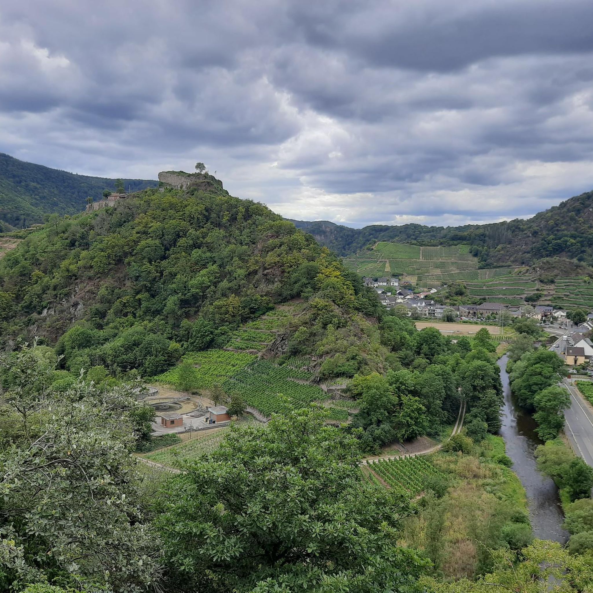
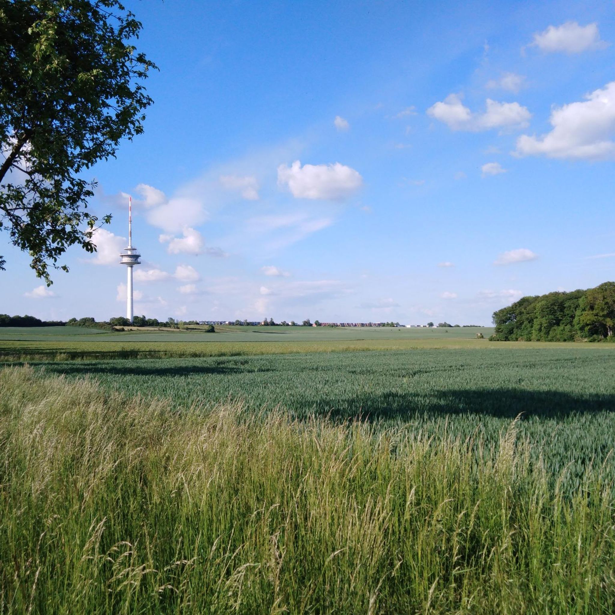
Here you have a great view towards the south
0
1

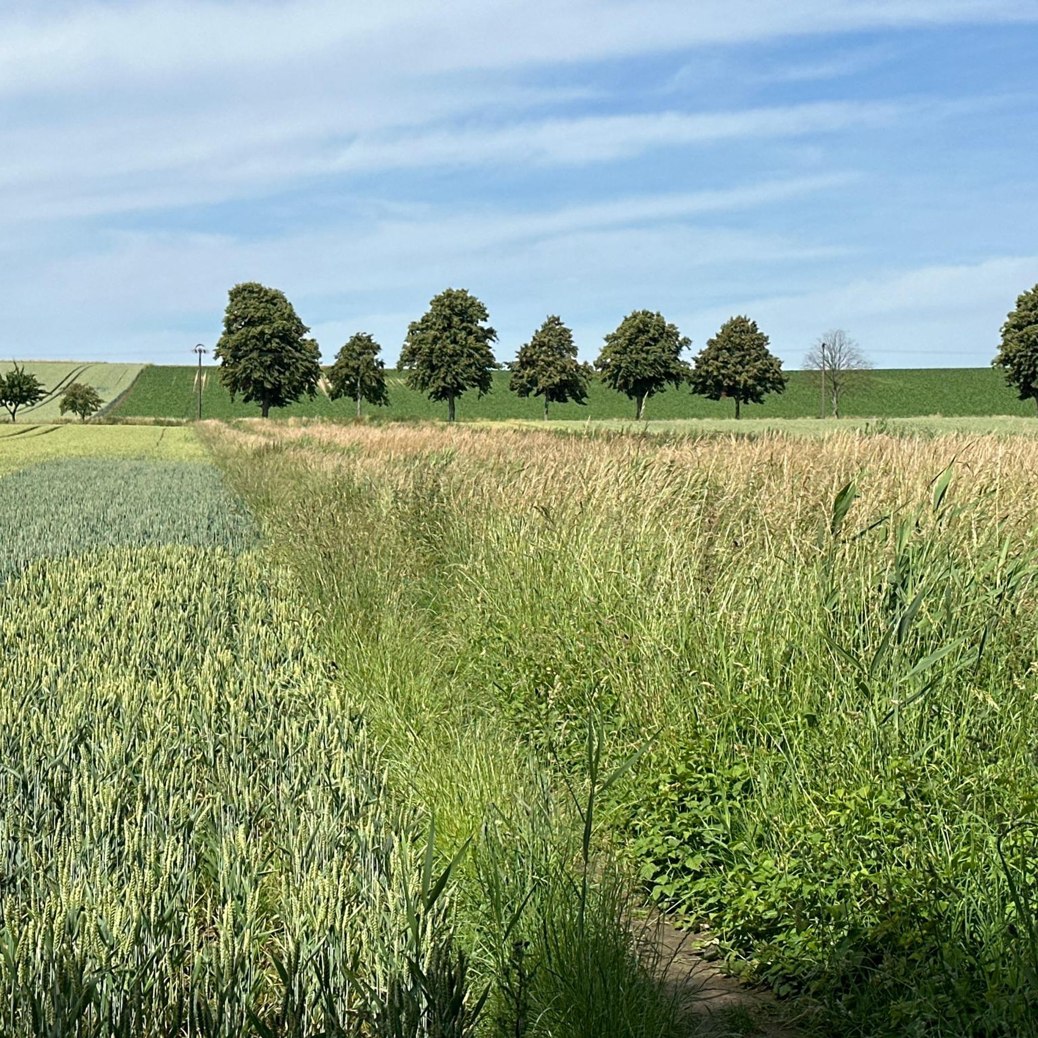
Great photo motif in rapeseed blossom
0
0
old Dutch windmill near Halchter
0
0

The windmill at the Bungenstedter Turm stands south of the Wolfenbüttel village of Halchter, between the Oker River and the former Bundesstraße 4 (Federal Highway 4). It was built in 1880 as a Dutch windmill. Due to its construction and operation, this mill represents a unique example in our region of the transition from artisanal to industrial technology. Its grinding mechanism has remained virtually unchanged and in good condition since its construction. For these reasons, it is considered a particularly valuable architectural monument. It is also one of the most striking rural cultural monuments in the city and district of Wolfenbüttel. The mill was in operation until 1956, most recently with a diesel engine. Source: https://www.lessingstadt-wolfenbuettel.de/vor-ort/poi/windmuehle-am-bungenstedter-turm
1
0

The old bridge was of course nicer , but with the new bridge the traffic is flowing here again .
1
0
Frequently Asked Questions
How many mountain bike trails are available around Geitelder Holz?
There are over 500 mountain bike routes around Geitelder Holz, catering to various skill levels. This includes 155 easy routes, 329 moderate routes, and 20 more challenging trails.
What kind of terrain can I expect when mountain biking in Geitelder Holz?
The terrain around Geitelder Holz is diverse, featuring dense woodlands, open Oker meadows, and the gentle elevation of Geitelder Berg, which is the highest point in Braunschweig. You'll find a mix of accessible paths and more demanding routes.
Are there any easy mountain bike trails suitable for beginners or families?
Yes, Geitelder Holz offers many easy routes. For instance, the Trail in Geitelder Forst – Timmerlaher Busch Trail loop from Gartenstadt is an easy 19.0 km path that provides a smooth ride through wooded areas. Another option is the Groß Stöckheimer Pond – Shepherd's Bridge loop from Stöckheim, which is also rated easy.
What are some moderate mountain bike trails in the area?
For those seeking a moderate challenge, the Timmerlaher Busch Trail – View of Üfingen Lock loop from Stöckheim is a popular 27.1 km route through forest paths. Another moderate option is the longer Schulwald Cramme – Shepherd's Bridge loop from Stöckheim, covering 44.3 km.
What do other mountain bikers say about the trails in Geitelder Holz?
The routes in Geitelder Holz are highly rated by the komoot community, with an average score of 4.5 stars from nearly 1,000 reviews. Nearly 4,000 mountain bikers have used komoot to explore the varied terrain, often praising the scenic woodlands and well-maintained paths.
Are there any circular mountain bike routes available?
Yes, many of the mountain bike routes in Geitelder Holz are designed as loops. Examples include the View of Üfingen Lock – Trail in Geitelder Forst loop from Stöckheim, which leads through the Geitelder Forst and past the Oker Weir, and the Timmerlaher Busch Trail – View of Üfingen Lock loop from Stöckheim.
What natural features or landmarks can I see along the mountain bike trails?
Along the trails, you can enjoy picturesque scenery like the Oker meadows and the Oker Weir Rüningen. The Geitelder Berg offers elevated views, and you might pass landmarks such as the Bench at the Former Swing Site or the Turnvater Jahn Memorial. The Geitelder Forst Trail itself is a notable feature.
Are there any places to eat or rest near the mountain bike trails?
Yes, you can find places to rest and eat. For example, the Waldschänke Former Train Station Restaurant is a highlight in the area, offering a spot to refuel after your ride.
Is Geitelder Holz suitable for mountain biking year-round?
Geitelder Holz offers enjoyable mountain biking experiences throughout much of the year. However, conditions can vary seasonally. During winter, trails might be muddy or icy, while spring and autumn offer pleasant temperatures and vibrant scenery. Summer is generally good, but always check local weather conditions before heading out.
Are there specific viewpoints or scenic spots to look out for?
The Geitelder Berg, being the highest point in Braunschweig, offers elevated terrain and potential viewpoints. Additionally, the Oker meadows and the Oker Weir Rüningen provide picturesque scenery, with community tips mentioning clear water along paths, making for pleasant stops.
Where can I find parking for mountain biking in Geitelder Holz?
While specific parking locations are not detailed in the provided data, areas like Stöckheim and Gartenstadt are mentioned as starting points for several routes, suggesting parking facilities may be available in these vicinities. It's advisable to check local maps or komoot tour details for precise parking information near your chosen starting point.
Most popular routes around Geitelder Holz
Most popular attractions around Geitelder Holz

Get inspired with the komoot mobile app


Explore more
Browse the best MTB trails in other regions.
