Parkwald Maudacher Bruch
Parkwald Maudacher Bruch
The best road cycling routes around Parkwald Maudacher Bruch
4.4
(1918)
23,775
riders
465
rides
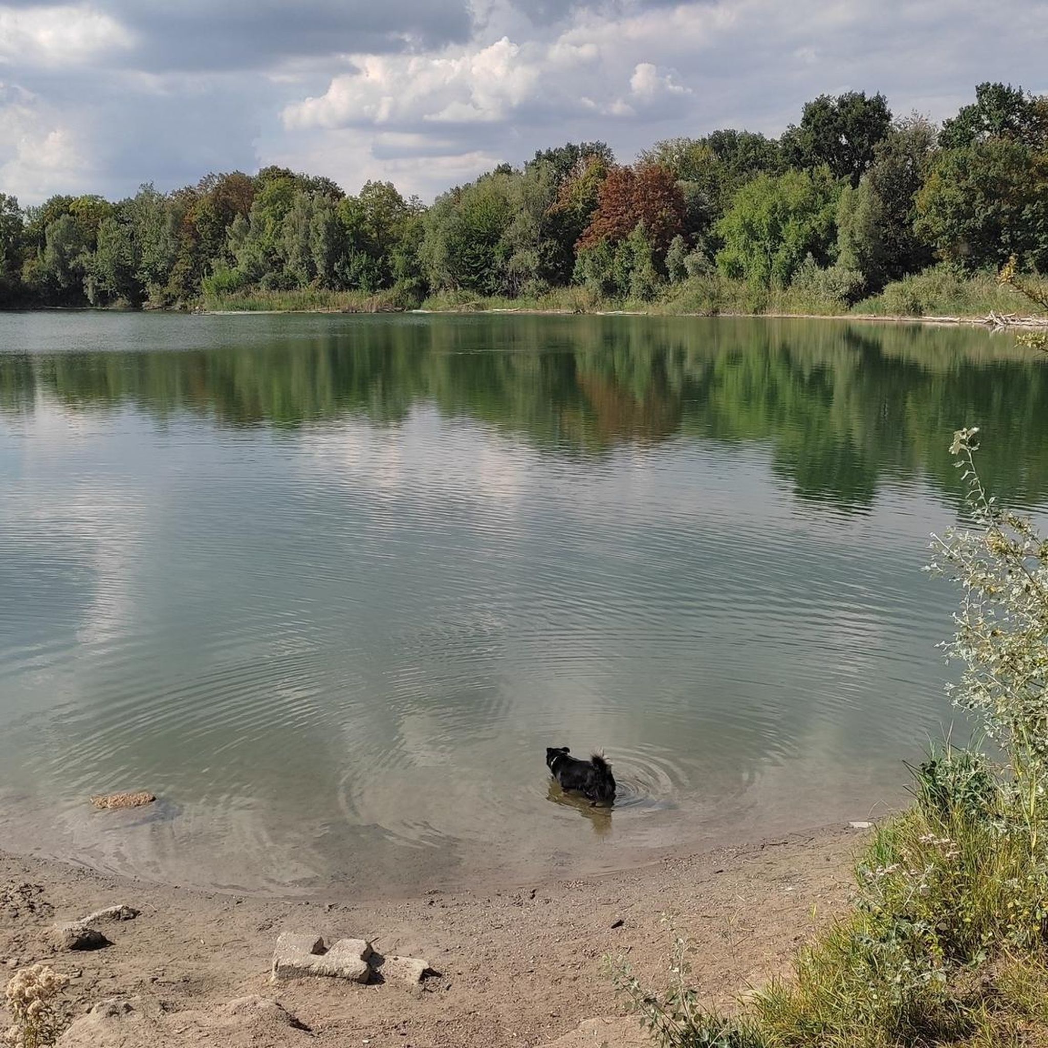
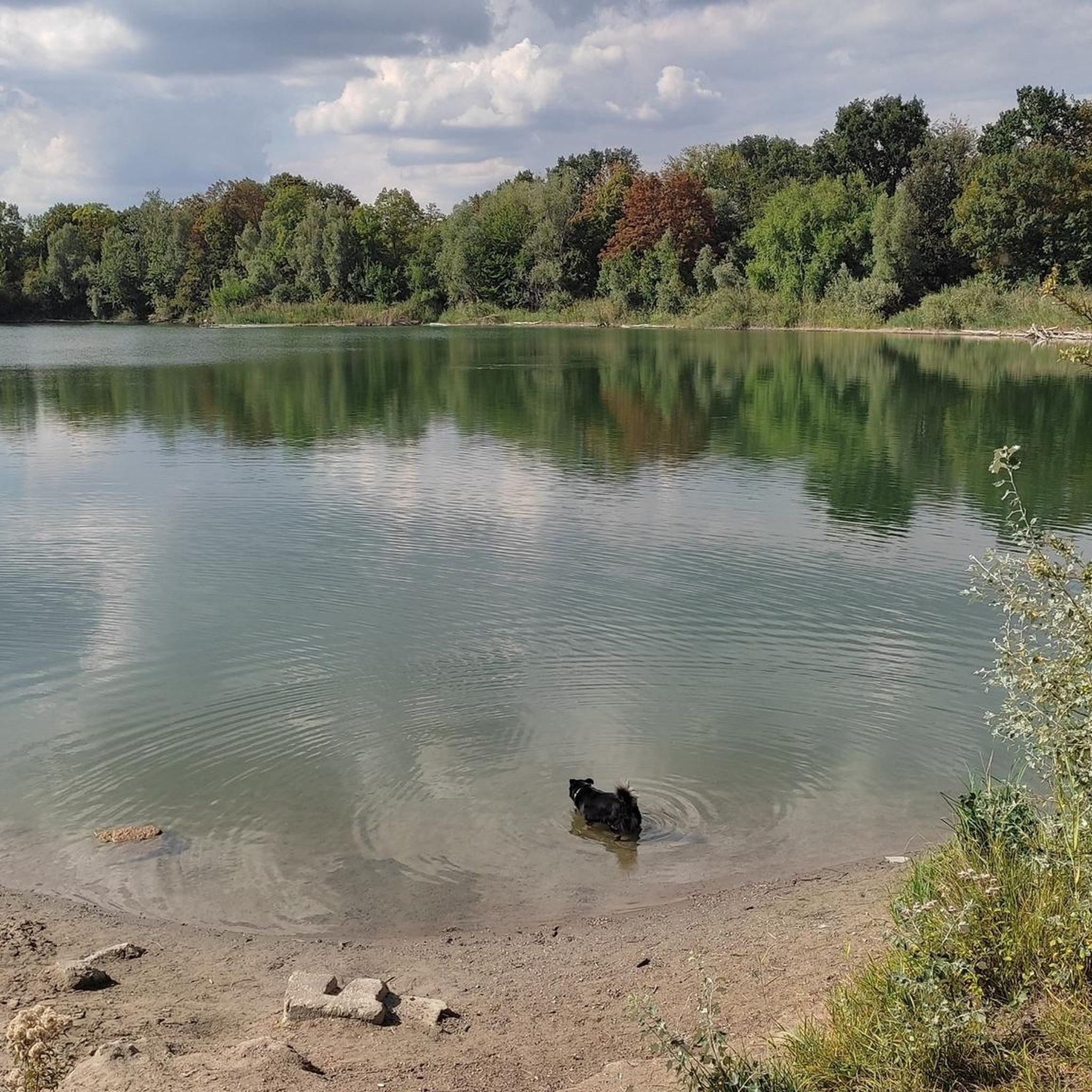
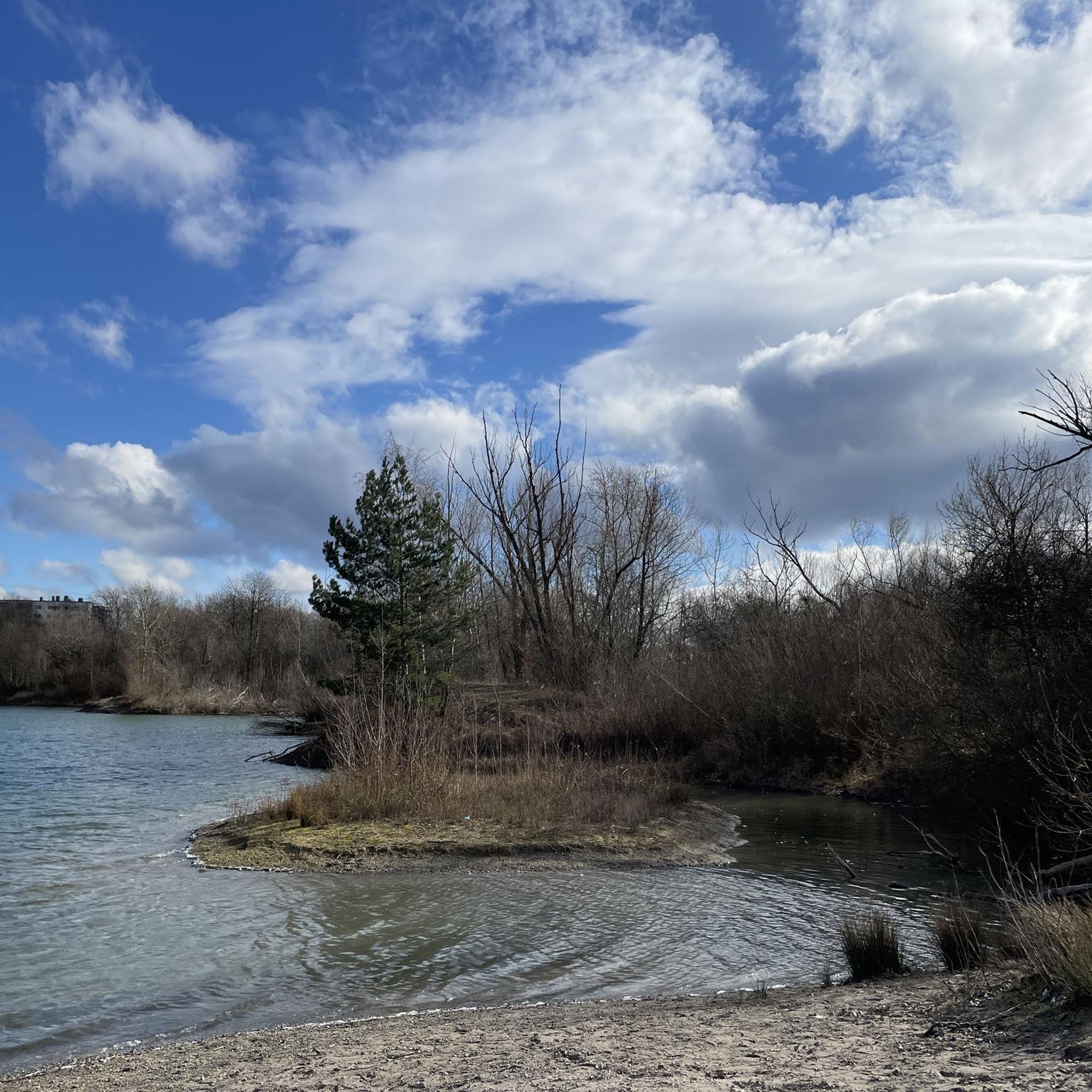
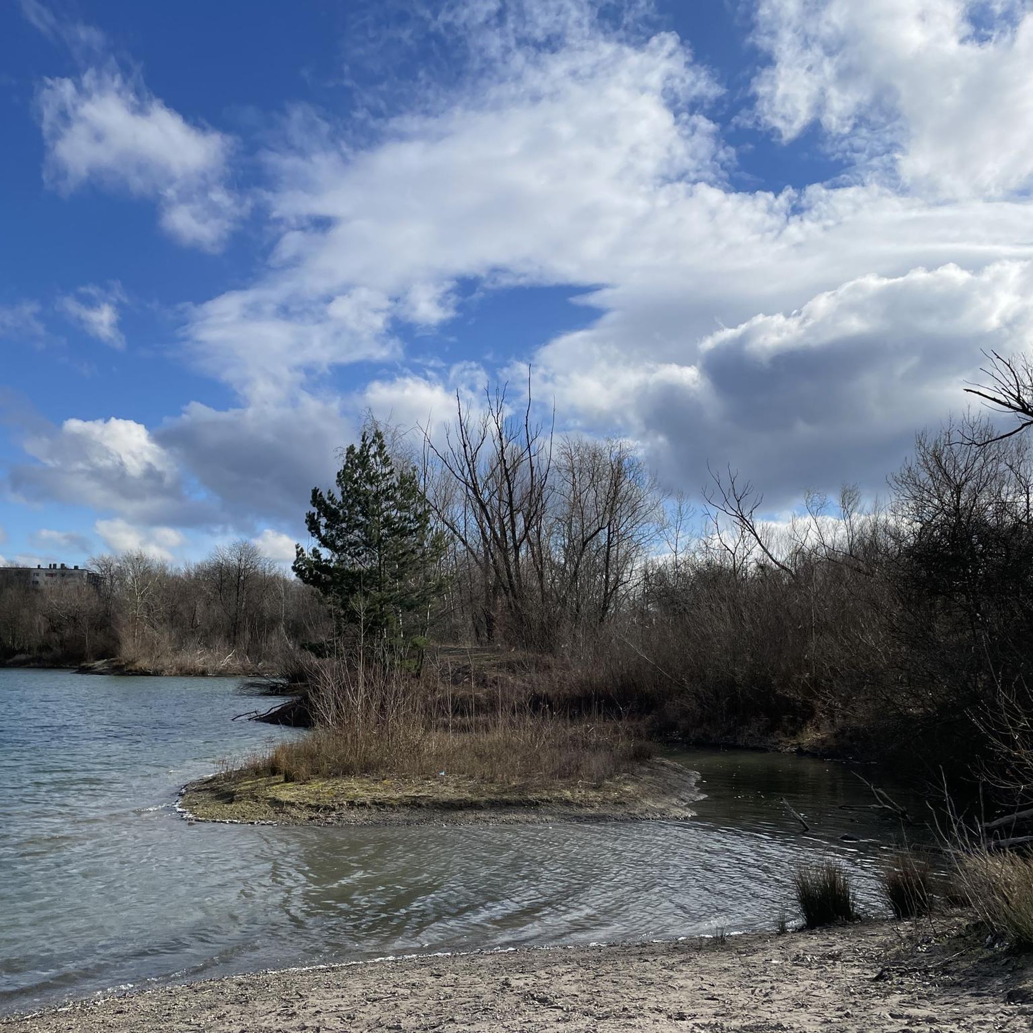
Road cycling routes around Parkwald Maudacher Bruch traverse a unique landscape, a former arm of the Old Rhine River, characterized by diverse ecosystems including wetlands, moorland, forests, and meadows. The area features well-maintained paths, with over 12 km specifically dedicated to cycling. Notable features for road cyclists include the gentle undulations of Michaelsberg, Ludwigshafen's highest hill, and picturesque ponds like Holzscher Pond and Jägerweiher. This natural haven offers varied terrain suitable for different fitness levels.
Best road cycling routes around Parkwald Maudacher Bruch
- The most popular road cycling route is Weisenheim am Sand Town Hall – Neutor Tower loop from Oggersheim Comeniusstraße, an 18.1 miles (29.2 km) trail that takes 1 hour 7 minutes to complete. This easy route offers a pleasant ride through the local landscape.
- Another top favourite among local road cyclists is Rhine Cycle Route – Roter Hang Vineyard loop from Ludwigshafen-Mundenheim, a difficult 81.9 miles (131.8 km) path. This route features significant distance and elevation gain, passing through vineyard areas.
- Local road cyclists also love the Cycle Path to Lingenfeld – Rheindamm Path to Lingenfeld loop from Ludwigshafen-Rheingönheim, a 52.1 miles (83.8 km) trail leading through varied terrain, often completed in about 3 hours 17 minutes.
- Road cycling around Parkwald Maudacher Bruch is defined by its former Old Rhine arm landscape, diverse wetlands, and forested areas, with options for different ability levels.
- The routes in Parkwald Maudacher Bruch are highly rated by the komoot community with an average score of 4.4 stars from over 1700 reviews. More than 22000 road cyclists have used komoot to explore Parkwald Maudacher Bruch's varied terrain.
Last updated: July 12, 2026
3.0
(2)
42
riders
Easy road ride. Great for any fitness level. Mostly well-paved surfaces and easy to ride.
22
riders
Moderate road ride. Good fitness required. Mostly well-paved surfaces and easy to ride.

Sign up for free
5.0
(1)
27
riders
Moderate road ride. Good fitness required. Some segments of this route may be unpaved and difficult to ride.
4.8
(26)
556
riders
132km
05:26
320m
320m
Hard road ride. Very good fitness required. Some segments of this route may be unpaved and difficult to ride.
4.8
(34)
399
riders
Moderate road ride. Good fitness required. Some segments of this route may be unpaved and difficult to ride.
Get access to more routes and recommendations from other explorers.
Sign up for free
Already have an account?
Our route recommendations are based on thousands of hikes, rides, and runs completed by other people on komoot.
Start today with a free account
Your next adventure awaits.
Login or Signup


Other adventures around Parkwald Maudacher Bruch

Tips from the Community

From here you have a beautiful view over the plain, up to the Pfälzerwald. The surface of the cycle path is very good, also great to ride with a road bike.
0
0

A carved sandstone sculpture marking a scenic window along the German Wine Route - a nice photo opportunity overlooking the vineyards.
0
0

Beautiful well-maintained tower, beautiful photo motif
0
0


From here you have a beautiful view of the foothills of the Odenwald with the Königstuhl as a famous landmark.
2
0

Highly recommended, great view...
0
0
Very nice route, absolutely recommended
0
0
Frequently Asked Questions
How many road cycling routes are available in Parkwald Maudacher Bruch?
There are nearly 500 road cycling routes available in Parkwald Maudacher Bruch, catering to various skill levels. This includes over 215 easy routes, 240 moderate routes, and 25 more challenging options.
What is the typical terrain and landscape like for road cycling in this region?
The region offers a unique landscape, being a former arm of the Old Rhine River. Road cyclists will encounter a diverse ecosystem featuring wetlands, moorland, forests, and meadows. The paths are generally well-maintained, with over 12 km specifically dedicated to cycling. You'll find gentle undulations, particularly around Michaelsberg, Ludwigshafen's highest point, adding a pleasant challenge.
Are there road cycling routes suitable for beginners or families?
Yes, Parkwald Maudacher Bruch offers many routes suitable for beginners and families. Over 215 of the available routes are classified as easy, featuring mostly paved surfaces and gentle gradients. An example is the Weisenheim am Sand Town Hall – Neutor Tower loop from Oggersheim Comeniusstraße, which is an easy 29.2 km ride.
What kind of elevation gain can I expect on road cycling routes here?
Elevation gain varies significantly across routes. Many easy routes feature minimal elevation, such as the Weisenheim am Sand Town Hall – Neutor Tower loop with less than 50 meters of ascent. However, more challenging routes, like the Rhine Cycle Route – Roter Hang Vineyard loop, can involve over 320 meters of elevation gain, passing through vineyard areas and offering more demanding climbs.
Are there circular road cycling routes in Parkwald Maudacher Bruch?
Yes, many road cycling routes in Parkwald Maudacher Bruch are designed as loops, allowing you to start and end at the same point. For example, the Cycle Path to Lingenfeld – Rheindamm Path to Lingenfeld loop is an 83.8 km circular route that takes you through varied terrain.
What natural features or landmarks can I see along the road cycling routes?
Road cycling routes often pass by picturesque natural features and landmarks. You can explore areas like the Maudacher Bruch Nature Reserve itself, or cycle past beautiful bodies of water such as Hunter's Pond and Holz’scher Pond. The Michaelsberg also offers panoramic views.
Are there any scenic viewpoints along the road cycling routes?
Yes, the Michaelsberg, as the highest point in Ludwigshafen, provides excellent panoramic views over the city, the Vorderpfalz, and the Rhine plain, making it a notable scenic viewpoint for cyclists.
Where can I park my car when visiting Parkwald Maudacher Bruch for cycling?
While specific parking areas for each route are not detailed here, the region is well-equipped for visitors. Given its proximity to an urban setting and amenities like the Bruchfesthalle and Festplatz in Maudach, you can typically find parking facilities nearby, especially at common starting points for routes.
Is Parkwald Maudacher Bruch accessible by public transport for cyclists?
Yes, Parkwald Maudacher Bruch is generally accessible by public transport, making it convenient for cyclists. Many routes start from areas within Ludwigshafen, such as Oggersheim or Mundenheim, which are well-connected by local public transport networks. Cyclists should check local transport schedules for specific bike carriage policies.
Are there places to rest or get refreshments along the road cycling routes?
Yes, along the trails within Parkwald Maudacher Bruch, you'll find benches and covered shelters for rest. Additionally, the area's proximity to Maudach means there are community amenities like the Bruchfesthalle and other local establishments where you can find refreshments.
What do other road cyclists enjoy about the routes in Parkwald Maudacher Bruch?
The road cycling routes in Parkwald Maudacher Bruch are highly rated by the komoot community, with an average score of 4.4 stars from over 1700 reviews. Cyclists often praise the diverse natural landscape, the well-maintained paths, and the tranquil environment that offers an ideal escape despite its urban proximity. The variety of routes catering to different fitness levels is also a frequently appreciated aspect.
What is the best time of year to go road cycling in Parkwald Maudacher Bruch?
The diverse ecosystem of Parkwald Maudacher Bruch makes it enjoyable for road cycling throughout much of the year. Spring and autumn offer pleasant temperatures and beautiful scenery, with the changing foliage or blooming flora. Summer is also popular, though it can be warmer, while winter cycling is possible on clear days, especially on the well-maintained paths.
Most popular routes around Parkwald Maudacher Bruch
Most popular attractions around Parkwald Maudacher Bruch

Get inspired with the komoot mobile app


