The best road cycling routes around Horreninsel
4.4
(2413)
31,979
riders
413
rides
Road cycling around Horreninsel is characterized by its flat terrain and proximity to the Rhine River, situated within the Rhein-Pfalz-Kreis. The region offers routes through forested areas and along riverbanks, with minimal elevation changes. This landscape provides accessible road cycling experiences, primarily on paved surfaces.
Best road cycling routes around Horreninsel
- The most popular road cycling route is Water Tower Altrip – Rheinblick Restaurant loop from Altrip, an easy 10.7 miles (17.2 km) trail that takes about 39 minutes…
Last updated: July 9, 2026
4.1
(9)
69
riders
17.2km
00:39
30m
30m
Easy road ride. Great for any fitness level. Mostly well-paved surfaces and easy to ride.
5.0
(2)
29
riders
51.7km
02:07
90m
90m
Moderate road ride. Good fitness required. Some segments of this route may be unpaved and difficult to ride.

Sign up for free
5.0
(1)
20
riders
18.4km
00:44
30m
30m
Easy road ride. Great for any fitness level. Mostly well-paved surfaces and easy to ride.
4.5
(33)
580
riders
Moderate road ride. Good fitness required. Mostly well-paved surfaces and easy to ride.
4.7
(18)
258
riders
Easy road ride. Great for any fitness level. Mostly well-paved surfaces and easy to ride.
Get access to more routes and recommendations from other explorers.
Sign up for free
Already have an account?
Our route recommendations are based on thousands of hikes, rides, and runs completed by other people on komoot.
Start today with a free account
Your next adventure awaits.
Login or Signup

Tips from the Community

A lovely stretch of the Neckar cycle path within Heidelberg offering views across the water to the old town banks. Flat and smooth, a nice contrast after the hilly Odenwald.
0
0

Don't forget insect repellent! The island is full of midges. It's no coincidence that the kiosk at the entrance is called "Schnougenescht".
0
0

Paths are not so good for road bikes, nature and anglers are on their own.
0
0
Runs very well on the section
0
0

The entrance to Heidelberg's Old Town
0
0

A short report on SWR television (as part of the "Outdoor Love" series) introduces the Speyer Technology Museum to an interested audience. If you're interested, see =>> https://www.ardmediathek.de/video/outdoor-liebe/technik-zum-anfassen-im-technikmuseum-speyer/swr/Y3JpZDovL3N3ci5kZS9hZXgvbzE2Mjk2MDI
0
0

From here you have a beautiful view of the foothills of the Odenwald with the Königstuhl as a famous landmark.
2
0

In some places it really looks like a plane is landing
0
0
Frequently Asked Questions
How many road cycling routes are available around Horreninsel?
There are over 430 road cycling routes available around Horreninsel, catering to various skill levels. This includes 163 easy routes, 235 moderate routes, and 35 challenging options.
What is the general terrain like for road cycling in Horreninsel?
Road cycling around Horreninsel is characterized by its flat terrain and proximity to the Rhine River. The region offers routes through forested areas and along riverbanks, with minimal elevation changes, primarily on paved surfaces. This makes for accessible and generally smooth riding.
Are there routes suitable for beginners in Horreninsel?
Yes, Horreninsel offers many easy road cycling routes perfect for beginners. For example, the Water Tower Altrip – Rheinblick Restaurant loop from Altrip is an easy 10.7-mile (17.2 km) trail that provides pleasant views of the Rhine and passes by the Altrip Water Tower.
Are there challenging road cycling routes in Horreninsel?
While the region is generally flat, there are routes that offer longer distances and can be more demanding. For instance, the Neckar Bend at Hirschhorn – Ladenburg Landing Stage loop from Mannheim-Neckarau is a moderate 65.6-mile (105.6 km) route, offering a significant distance challenge.
Can I find loop routes for road cycling in Horreninsel?
Yes, many road cycling routes in Horreninsel are designed as loops. A popular option is the Otterstadt Pumping Station loop from Altrip, a 15.7-mile (25.3 km) trail that takes you through river plains and agricultural landscapes.
What sights can I see while road cycling around Horreninsel?
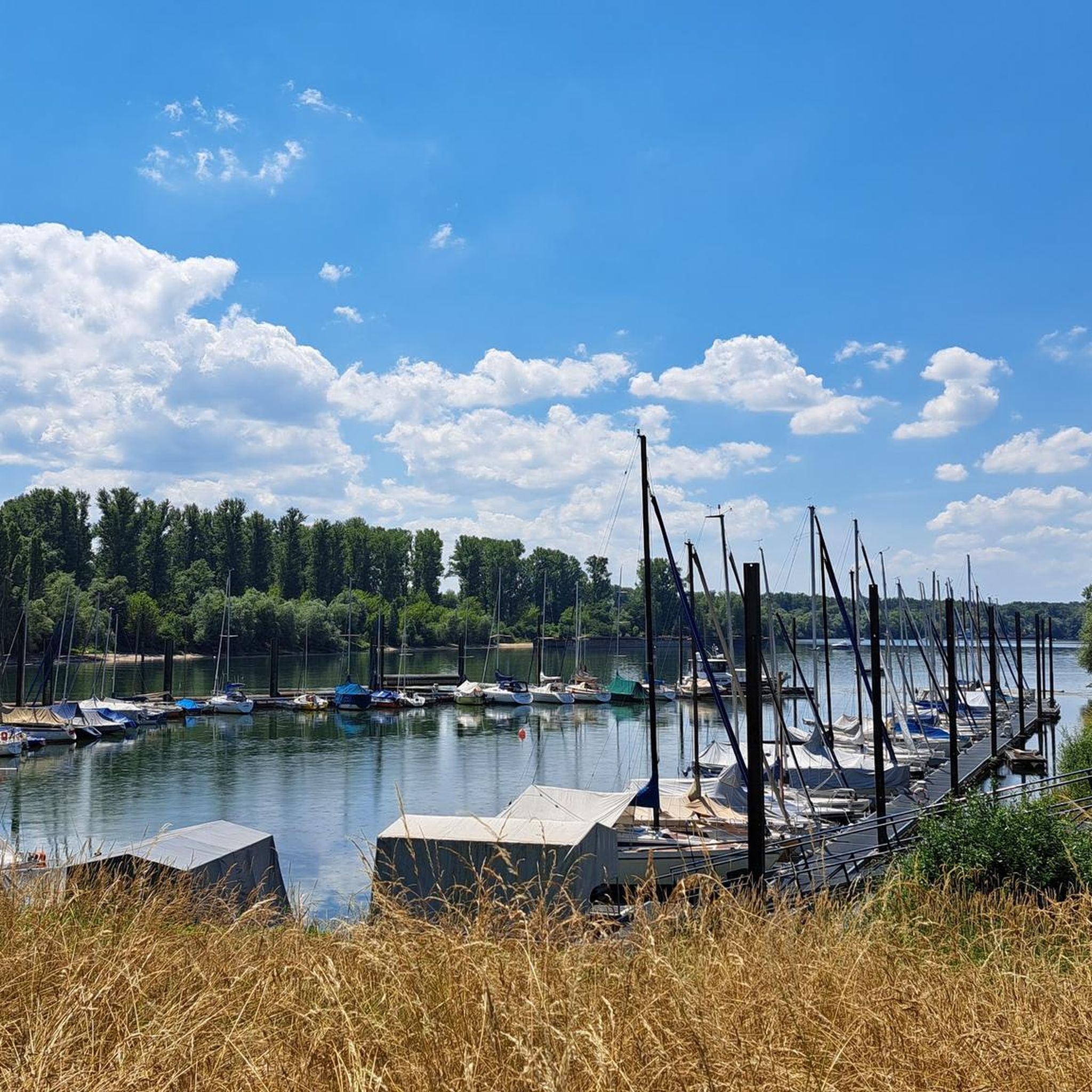
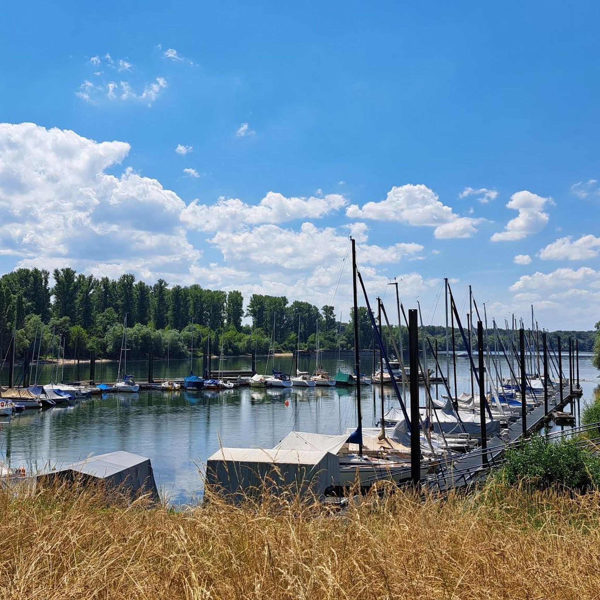
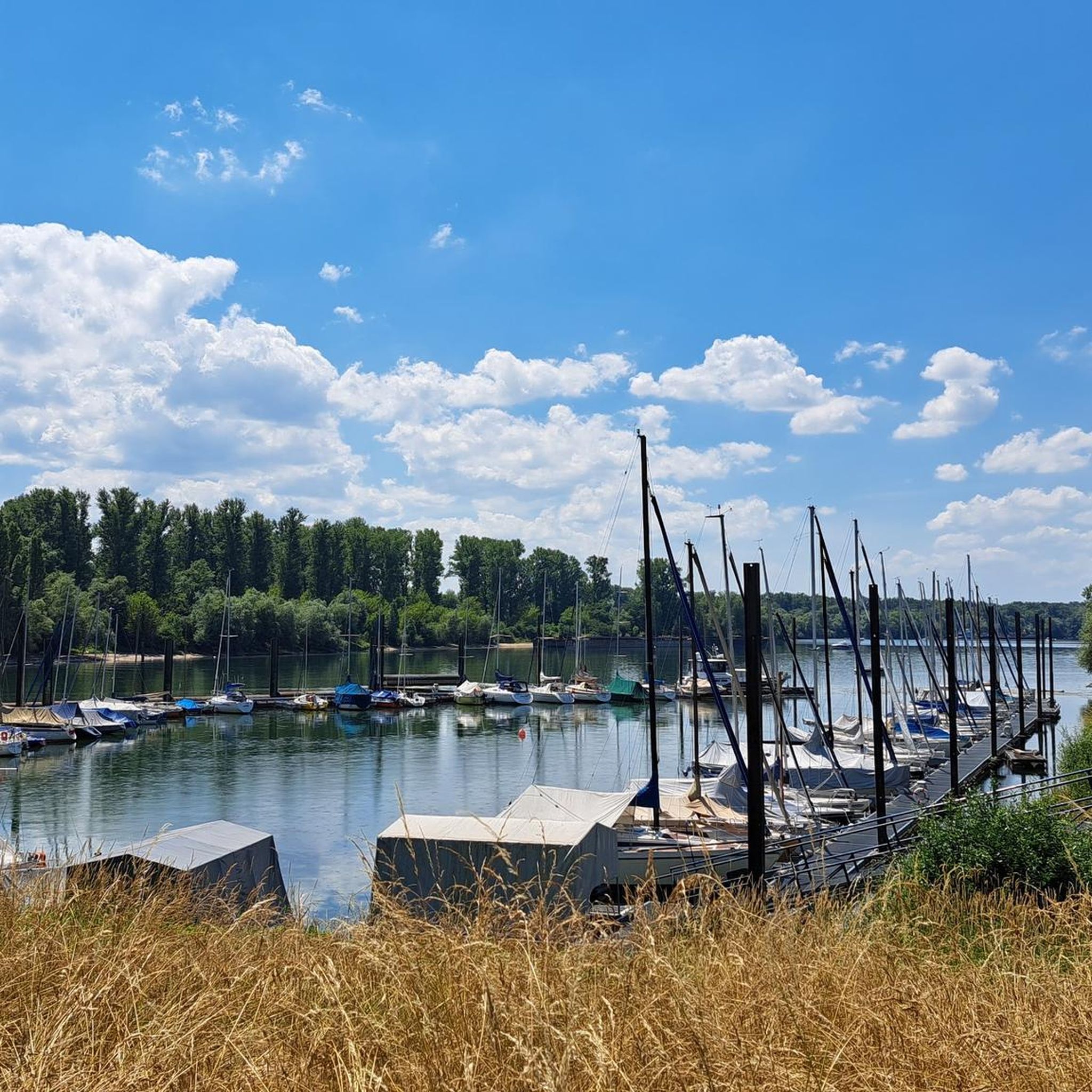
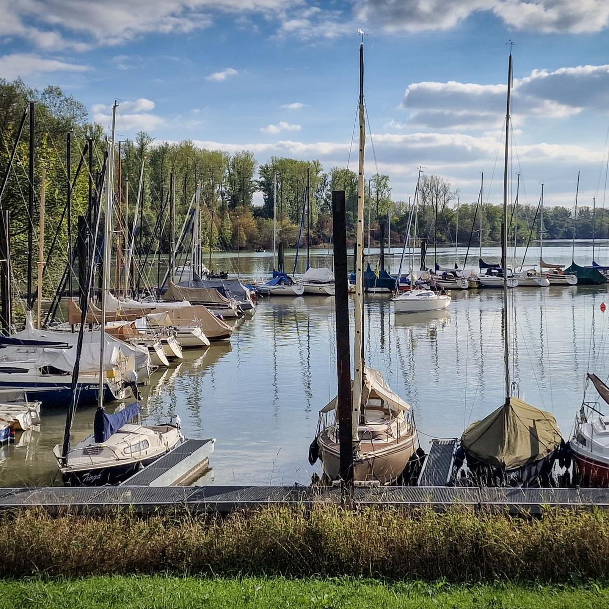
Along the road cycling routes, you can enjoy various sights. The Altrip — Rhine riverbank offers scenic views, and you can also explore sections of the Rhine Cycle Route: Speyer to Ludwigshafen. Other points of interest include the Path Along the Levee and the Waldsee Marina.
Are there any specific viewpoints along the road cycling routes?
Many routes offer scenic viewpoints, particularly those along the Rhine River. The Rheinblick Restaurant – View of Speyer Cathedral loop from Altrip, for instance, provides scenic stretches along the river with distant views of Speyer Cathedral.
What is the best time of year for road cycling in Horreninsel?
The flat terrain and river proximity make Horreninsel suitable for road cycling for much of the year. Spring and autumn offer pleasant temperatures, while summer can be enjoyable, especially along shaded river sections. Winter cycling is possible, but check local weather conditions for ice or snow.
Are there family-friendly road cycling options in Horreninsel?
Yes, the predominantly flat terrain and numerous easy routes make Horreninsel ideal for family-friendly road cycling. Shorter, paved loops along the riverbanks or through agricultural areas are perfect for riders of all ages and skill levels.
Are there places to stop for refreshments or food along the routes?
Yes, many routes pass through or near towns and villages where you can find cafes and restaurants. The Rest stop on the Rhine is one example of a facility available along the river, and routes often lead to places like the Rheinblick Restaurant.
What do other road cyclists enjoy about the routes around Horreninsel?
The road cycling routes around Horreninsel are highly rated by the komoot community, with an average score of 4.4 stars from over 2,200 reviews. Riders often praise the flat, accessible terrain, scenic river views, and the variety of routes through forested and agricultural landscapes.
Where can I find parking for road cycling routes in Horreninsel?
Parking is generally available in the towns and villages that serve as starting points for many routes, such as Altrip. Look for designated public parking areas near the river or town centers, which often provide convenient access to the cycling network.
Most popular routes around Horreninsel
Most popular attractions around Horreninsel

Get inspired with the komoot mobile app


Explore more
Browse the best Road cycling routes in other regions.
