The best road cycling routes around Dölauer Heide
4.5
(906)
13,085
riders
446
rides
Road cycling routes around Dölauer Heide traverse a diverse landscape characterized by extensive forest areas and a distinct plateau ridge. The region features varied terrain, including elevations such as Kolkturmberg (132.5 m) and Langer Berg (129.5 m), which offer inclines and descents for cyclists. These routes often connect to broader cycling networks, providing options that combine natural environments with access to nearby urban areas.
Best road cycling routes around Dölauer Heide
- The most popular road cycling route is Peissnitz Bridge…
Last updated: July 4, 2026
4.4
(30)
273
riders
41.8km
01:50
270m
270m
Moderate road ride. Great for any fitness level. Some segments of this route may be unpaved and difficult to ride.
4.6
(20)
168
riders
40.7km
01:51
250m
250m
Moderate road ride. Great for any fitness level. Some segments of this route may be unpaved and difficult to ride.

Sign up for free
4.0
(2)
103
riders
60.9km
02:31
340m
340m
Moderate road ride. Good fitness required. Mostly well-paved surfaces and easy to ride.
4.4
(8)
76
riders
26.7km
01:12
100m
100m
Moderate road ride. Great for any fitness level. Some segments of this route may be unpaved and difficult to ride.
5.0
(1)
90
riders
Moderate road ride. Good fitness required. Mostly well-paved surfaces and easy to ride.
Get access to more routes and recommendations from other explorers.
Sign up for free
Already have an account?
Our route recommendations are based on thousands of hikes, rides, and runs completed by other people on komoot.
Start today with a free account
Your next adventure awaits.
Login or Signup
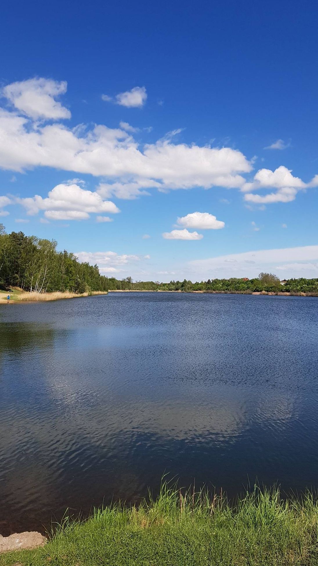
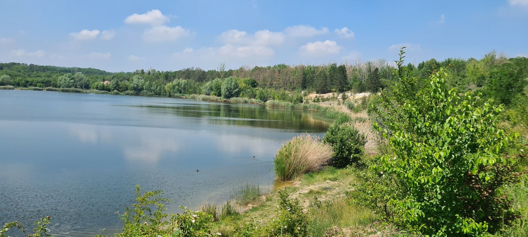
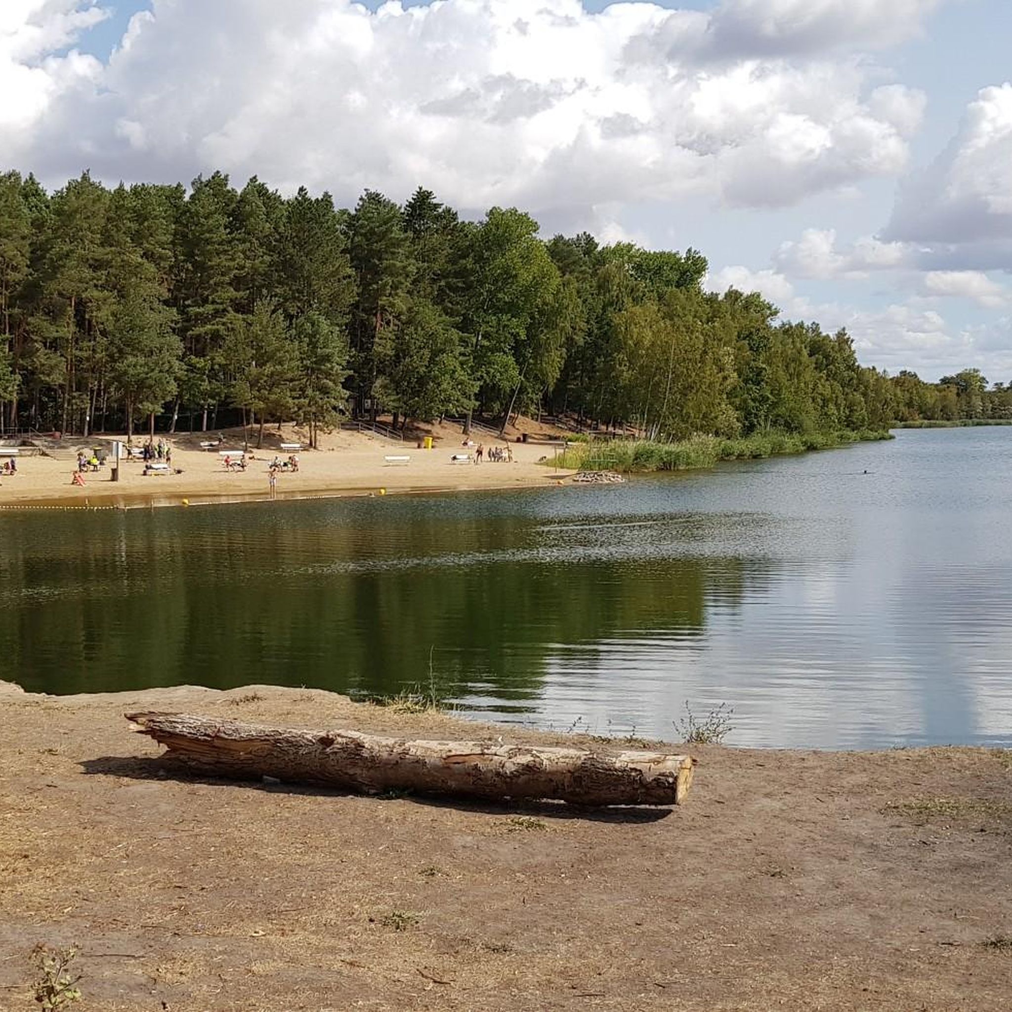
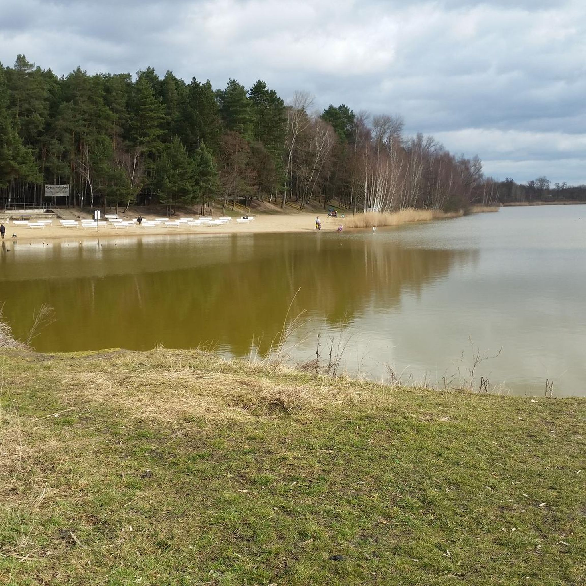
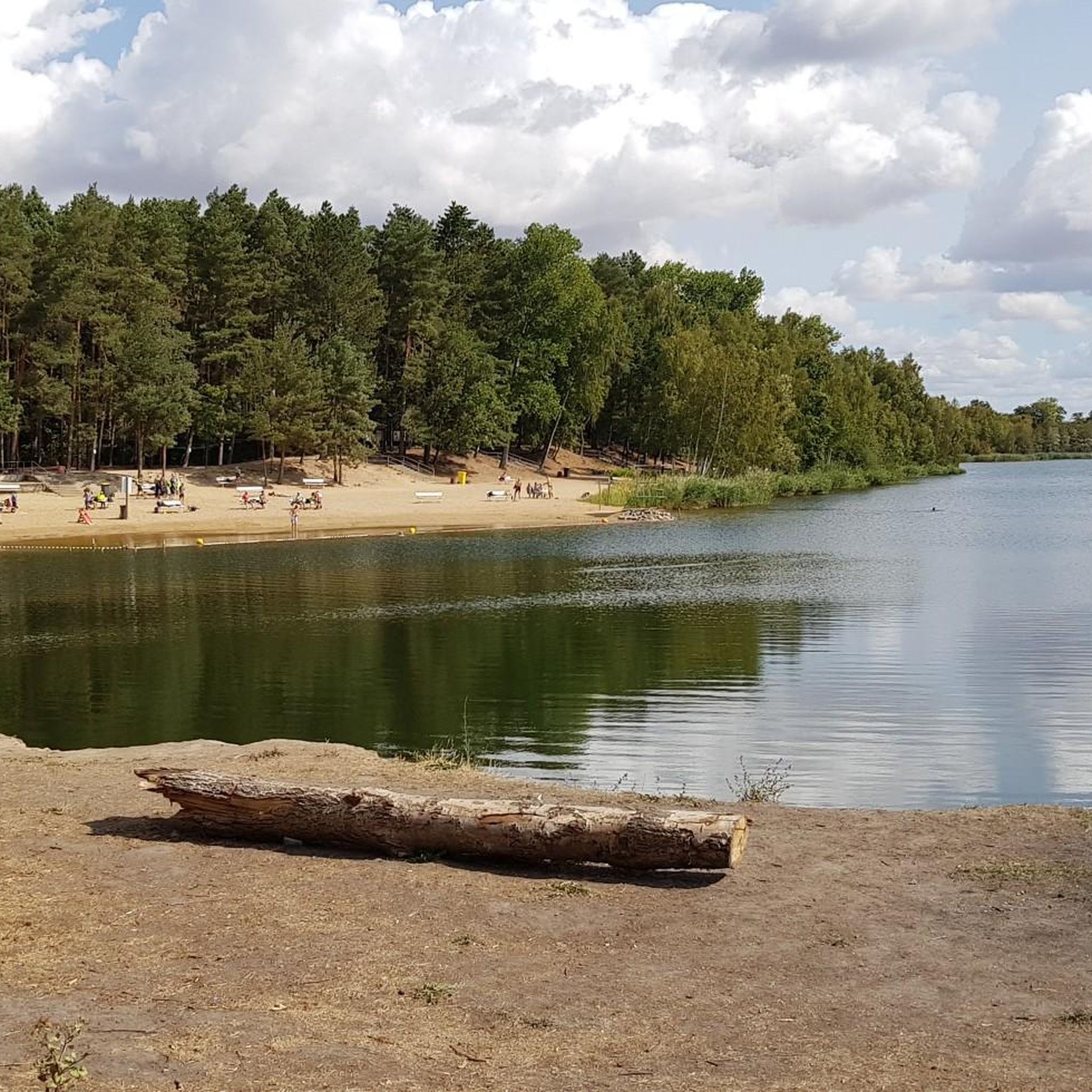
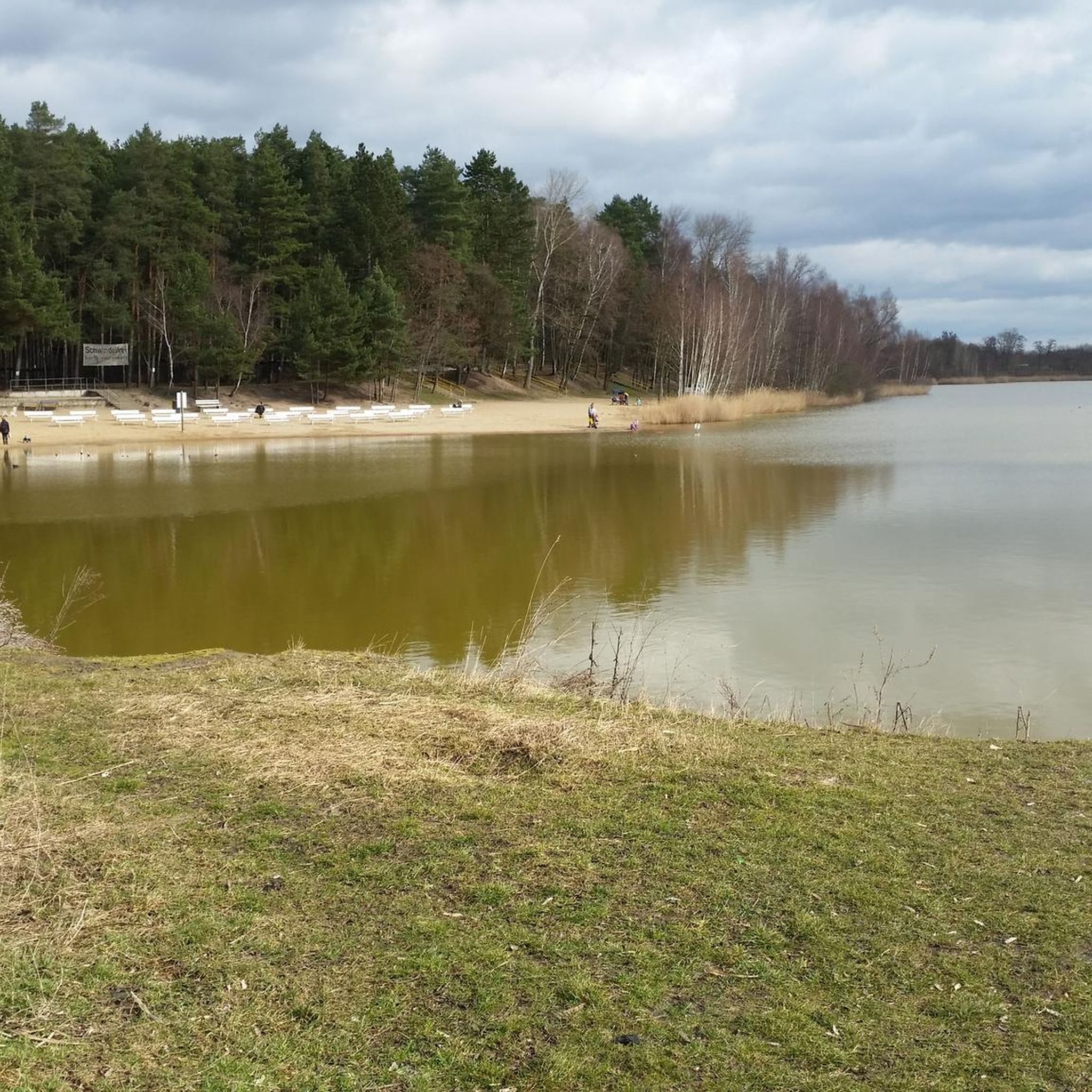
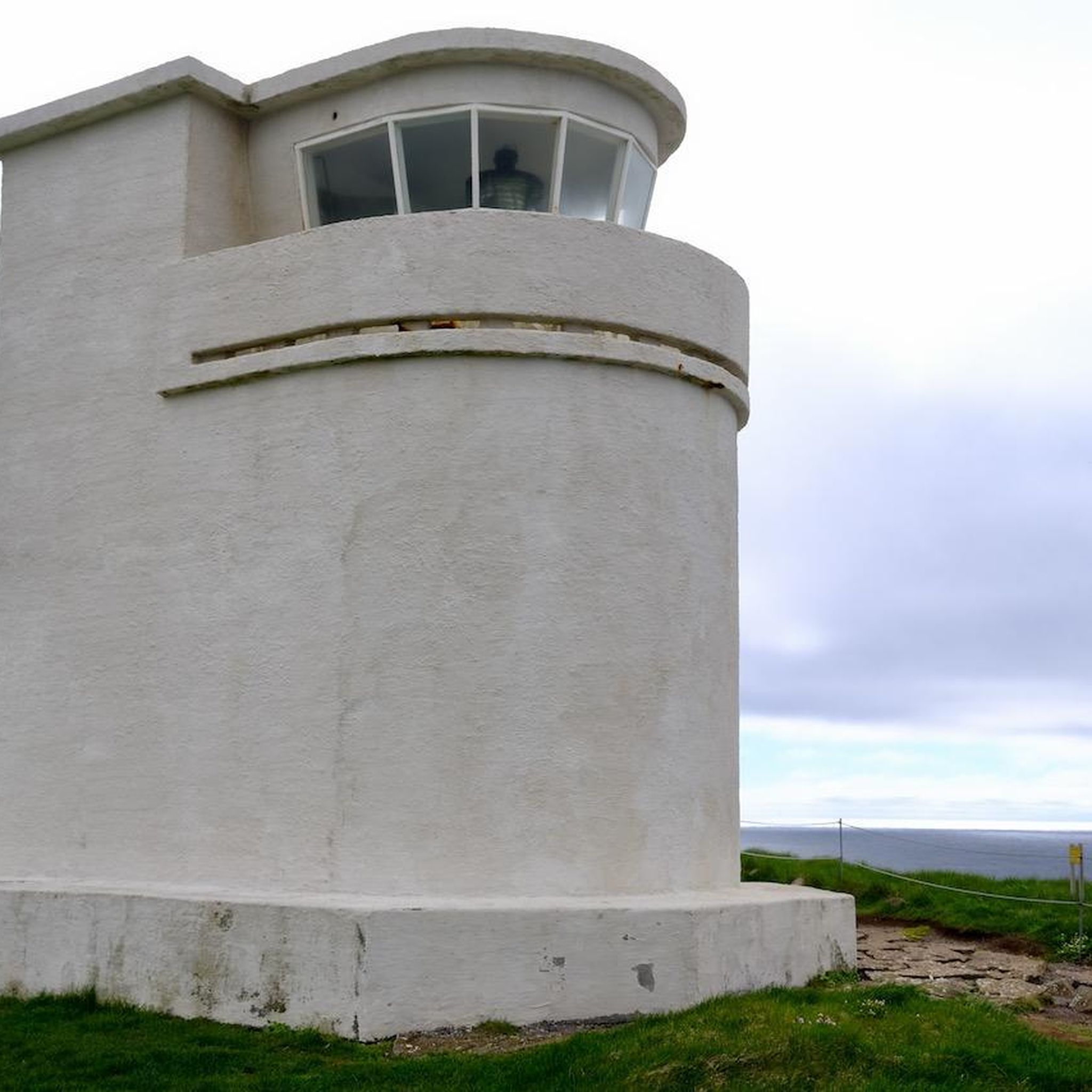


Tips from the Community

Really nice alternative to the city
0
0
easy to reach and great inside and out
0
0


A long stretch without intersections. Perfect training conditions.
0
0

Information about the ferry can be found at https://www.fähren-wettin-löbejün.de/wettin-oeffnungszeiten-preise/
6
1

Frequently Asked Questions
How many road cycling routes are available in Dölauer Heide?
There are over 450 road cycling routes around Dölauer Heide, offering a wide variety of options for different preferences and skill levels. These routes traverse diverse landscapes, from extensive forests to the distinct plateau ridge.
What kind of terrain can I expect when road cycling around Dölauer Heide?
Dölauer Heide features varied terrain, including a distinct plateau ridge with elevations like Kolkturmberg (132.5 m) and Langer Berg (129.5 m). You'll encounter both gentle gradients and more challenging climbs, as well as extensive forested areas providing scenic and often shaded environments. Routes often connect to broader cycling networks, including the Saale Valley.
Are there routes suitable for beginners or less experienced road cyclists?
Yes, Dölauer Heide offers routes for various ability levels. While many routes are moderate, there are over 60 easy routes available. These typically feature gentler gradients, making them suitable for those new to road cycling or looking for a more relaxed ride.
What are some notable natural features or landmarks I can see while cycling?
While cycling, you can encounter several interesting features. The Kolk Tower on Kolkturmberg offers potential scenic views. The Heidesee lake is located on the southern edge of the heath, and the Dölauer Heath itself is characterized by its extensive, mixed forests. You might also spot the Sky Ladder (Ochsenberg), a long staircase offering views over the landscape.
Can I find routes that offer scenic views?
Absolutely. Many routes provide scenic views, especially from elevated points like Kolkturmberg. The area also connects to the Saale Valley, offering picturesque river views. For example, the View of the Saale Valley – Saaletal to Wettin loop from Halle-Nietleben is known for its beautiful vistas.
Are there any historical sites accessible by road bike in the area?
Yes, the region has historical significance. The Bischofswiese Archaeological Site is a high plateau with Neolithic burial mounds and fortifications, marked with information signs. Additionally, routes like the Wettin Ferry – Giebichenstein Castle loop from Halle-Nietleben feature historical landmarks such as Giebichenstein Castle.
What do other cyclists say about road cycling in Dölauer Heide?
The road cycling routes around Dölauer Heide are highly rated by the komoot community, with an average score of 4.4 stars from over 800 reviews. More than 13,000 road cyclists have explored the area using komoot, often praising the varied terrain and the blend of natural beauty with access to urban areas.
Are there options for longer road cycling tours?
Yes, Dölauer Heide offers several longer road cycling tours. For instance, the View of the Saale Valley – Saaletal to Wettin loop from Halle-Nietleben is a substantial 38.8-mile (62.4 km) trail. Another option is the Seeburg Castle – Sweet Lake loop from Halle-Nietleben, which covers 37.6 miles (60.5 km).
How can I access the Dölauer Heide cycling routes using public transport?
Dölauer Heide is easily accessible from Halle's city center. Cyclists can reach the area via routes passing through areas like Gimritzer Park, Peißnitz, and along the Heideallee, which are well-connected by public transport in Halle. This allows for varied rides combining urban and natural environments.
Are there any places to stop for refreshments or breaks along the routes?
Yes, there are establishments like Müller's Heidekiosk and Waldkater mentioned as points along cycling routes, suggesting places where you can stop for refreshments or take a break during your ride.
Are there family-friendly road cycling options in Dölauer Heide?
The extensive network of paths in Dölauer Heide includes many routes with gentler gradients, making them suitable for families. The varied terrain and shaded forest paths provide a pleasant environment for cyclists of all ages, especially on the easier routes.
What is the best time of year to go road cycling in Dölauer Heide?
Dölauer Heide is suitable for outdoor activities throughout much of the year. Spring and autumn offer pleasant temperatures and beautiful scenery with changing foliage. Summer provides shaded routes through the extensive forests, while winter conditions can vary, so checking local weather is always advisable.
Are there any loop routes available for road cyclists?
Yes, many of the road cycling routes in Dölauer Heide are designed as loops, allowing you to start and end at the same point. Examples include the popular Peissnitz Bridge – Swan Bridge loop from Halle-Nietleben and the Röpzig Bridge over the River Saale – Hafenbahn Bridge loop from Halle-Nietleben.
Most popular routes around Dölauer Heide
Most popular attractions around Dölauer Heide

Get inspired with the komoot mobile app


Explore more
Browse the best Road cycling routes in other regions.
