The best MTB trails around Gangolfsberg-Heppberg
4.7
(1316)
4,701
riders
332
rides
Mountain biking around Gangolfsberg-Heppberg offers a diverse landscape within the Rhön Biosphere Reserve, characterized by gently rolling hills, dense forests, and expansive open meadows. The region features unique geological formations such as the Basaltprismenwand and Teufelskeller, remnants of volcanic activity. This varied terrain provides a dynamic backdrop for mountain biking, with well-maintained routes navigating through natural woodlands. Riders can expect a mix of terrain suitable for various skill levels, from challenging climbs to flowing descents.
Best mountain bike trails in…
Last updated: July 1, 2026
4.6
(14)
32
riders
27.9km
02:21
650m
650m
Moderate mountain bike ride. Good fitness required. Advanced riding skills necessary.
5.0
(1)
11
riders
39.5km
03:11
840m
840m
Moderate mountain bike ride. Good fitness required. Advanced riding skills necessary.

Sign up for free
5.0
(2)
7
riders
Hard mountain bike ride. Very good fitness required. Advanced riding skills necessary.
3.5
(2)
6
riders
Moderate mountain bike ride. Great for any fitness level. Advanced riding skills necessary.
5.0
(1)
2
riders
Moderate mountain bike ride. Good fitness required. Advanced riding skills necessary.
Get access to more routes and recommendations from other explorers.
Sign up for free
Already have an account?
Our route recommendations are based on thousands of hikes, rides, and runs completed by other people on komoot.
Start today with a free account
Your next adventure awaits.
Login or Signup
Popular around Gangolfsberg-Heppberg

Naturlehrpfade – Natur und Wissen

Rundwanderwege um Oberelsbach
Hiking around Gangolfsberg-Heppberg
Cycling around Gangolfsberg-Heppberg
Running Trails around Gangolfsberg-Heppberg
Road Cycling Routes around Gangolfsberg-Heppberg
Gravel biking around Gangolfsberg-Heppberg

Mountain Hikes around Gangolfsberg-Heppberg
Other adventures around Gangolfsberg-Heppberg

Tips from the Community

Top friendly and helpful, simple accommodation with good, hearty food.
0
0

The place is called Schweinfurter Haus, but either you can't change it here or you need a degree in computer science for it!
0
0

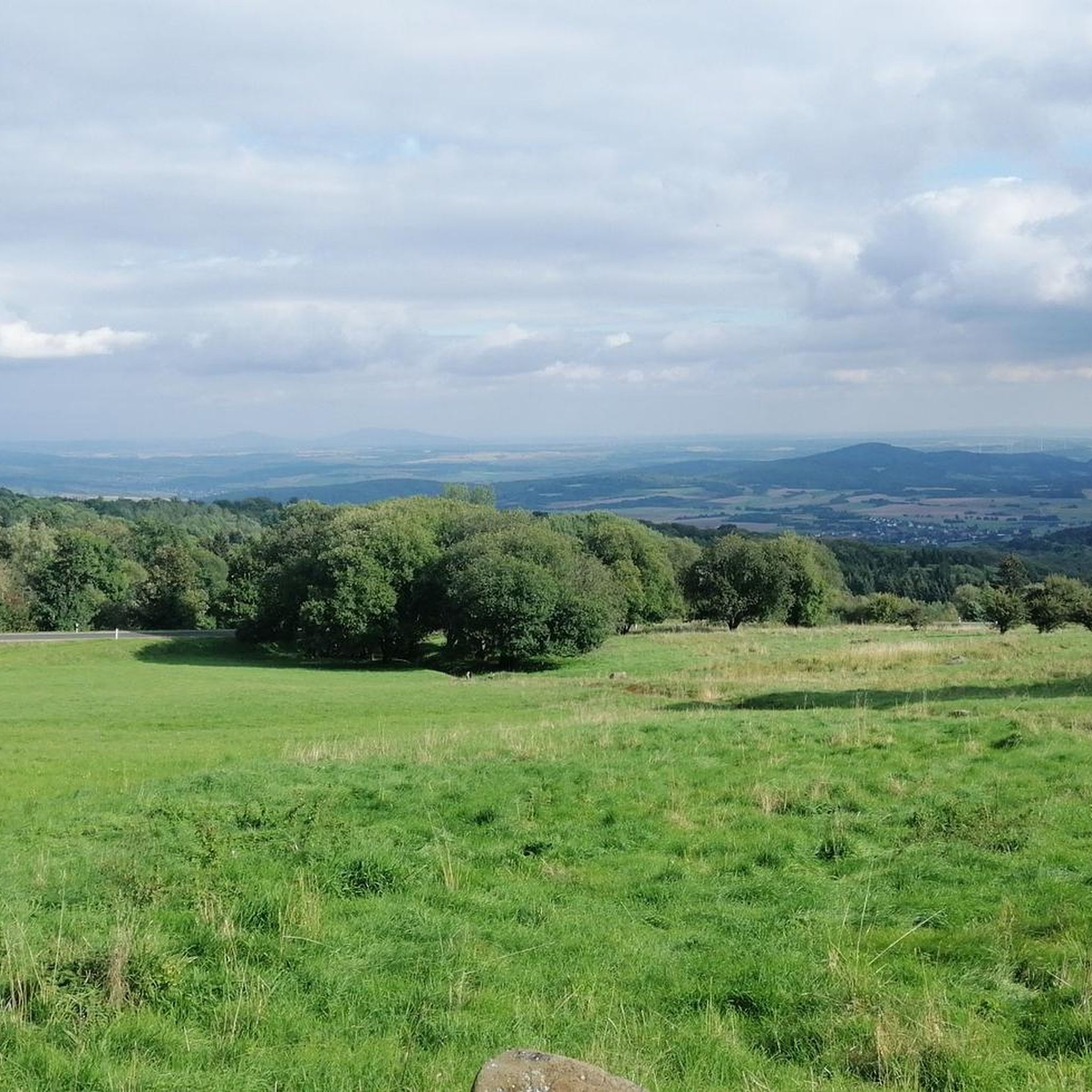
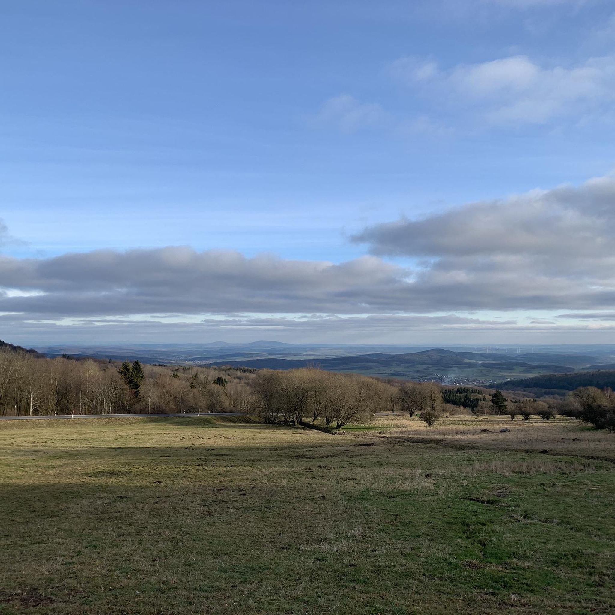
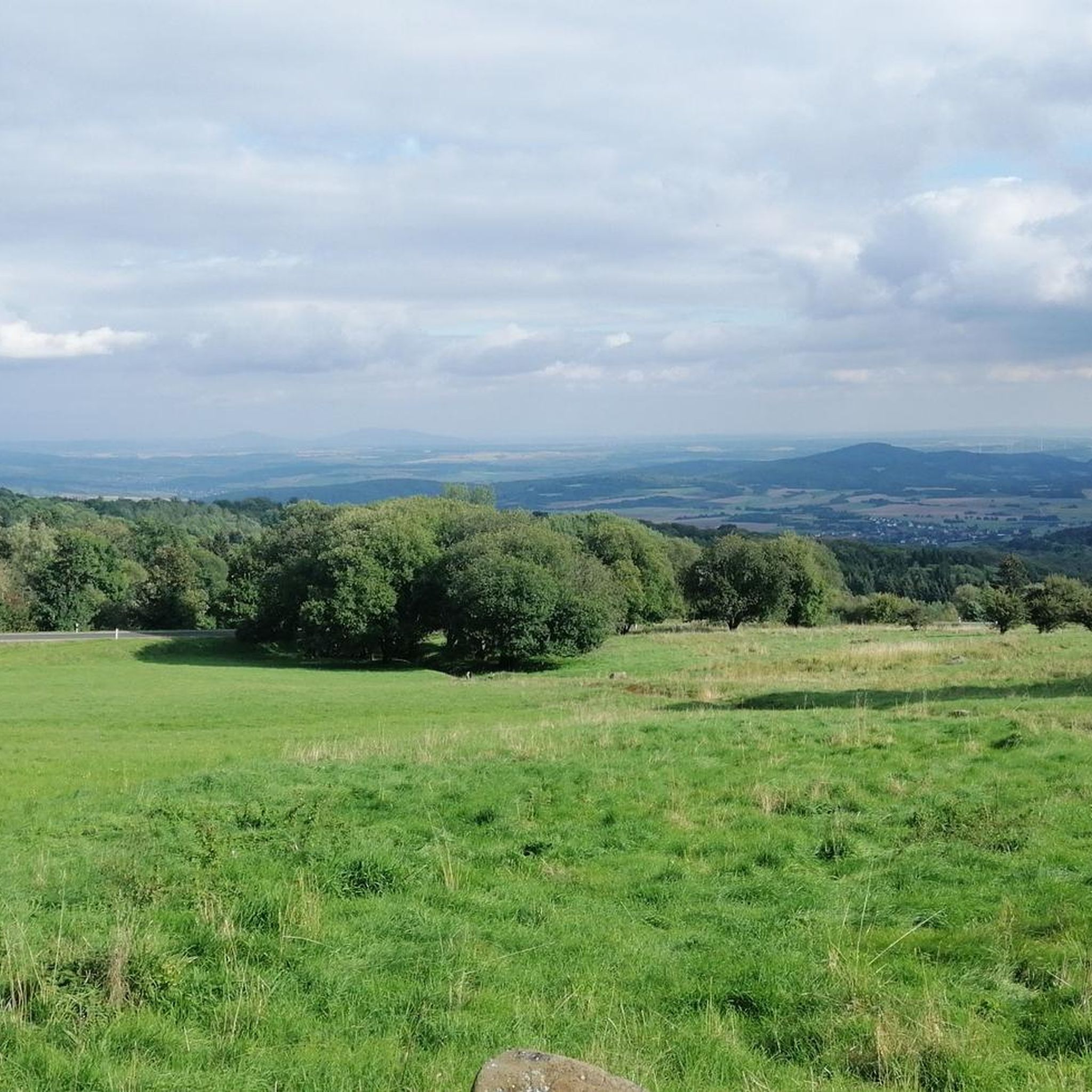
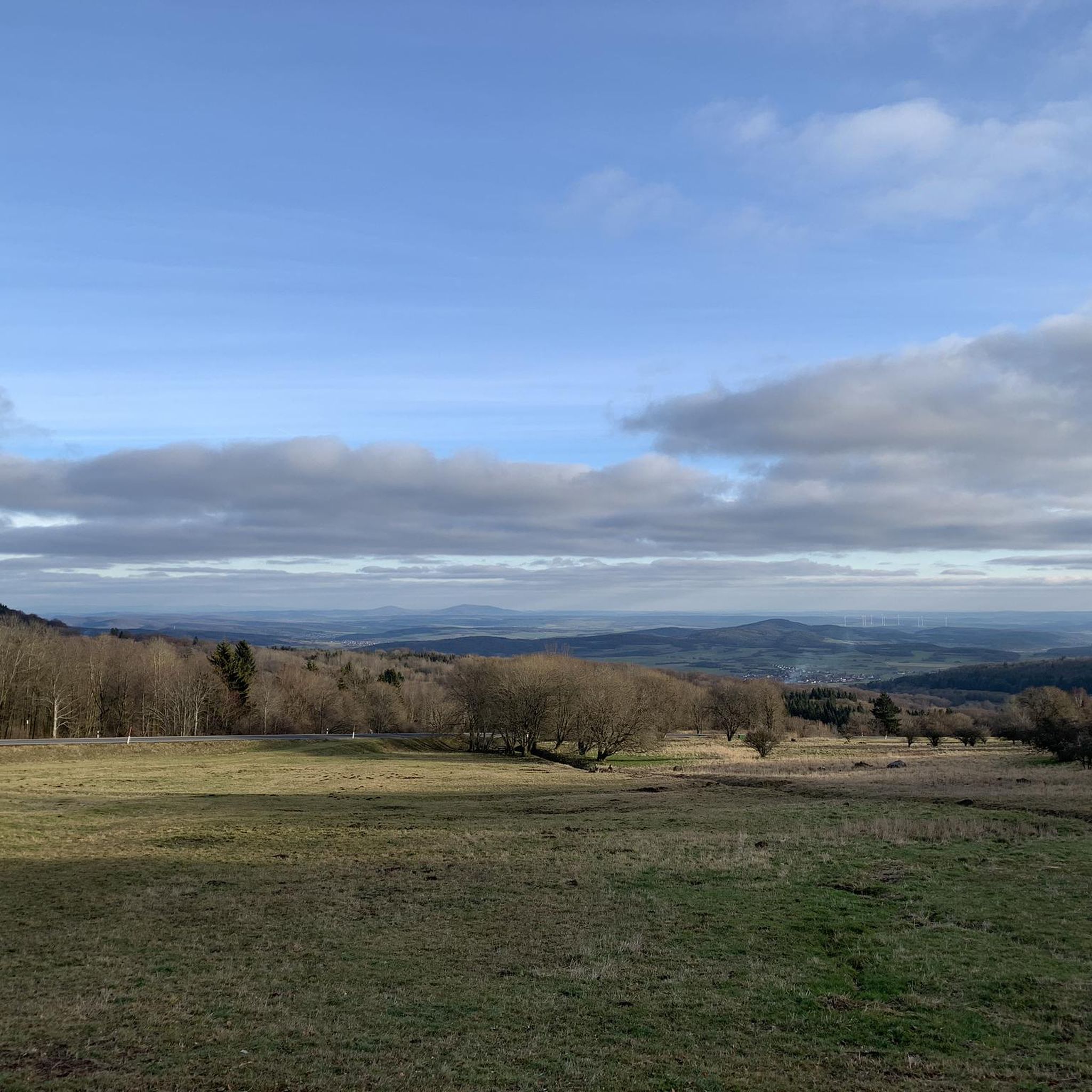
From here you have a great view.
0
0

At 950 meters, the Wasserkuppe is the highest mountain in Hesse and the symbol of the Rhön Mountains. Up here, you can feel the freedom, as the Wasserkuppe is considered the cradle of gliding – pilots have been taking to the skies here for over 100 years. But it's not just aviators who enjoy it: In summer, you can hike or cycle across vast plateaus with magnificent views, while in winter, ski lifts, cross-country ski trails, and toboggan runs beckon. Around the summit, you'll find the Aviation Memorial, the Gliding Museum, and numerous places to stop for refreshments. The Wasserkuppe is located in the heart of the Hessian Rhön Nature Park, which, with its open highlands, beech forests, and species-rich meadows, is a paradise for nature lovers. Here, you can explore the unique landscape on premium hiking trails like the Hochrhöner or on nature trails. The nature park also boasts star parks, rare animals like the red kite and the wildcat, and botanical treasures like gentian and orchids.
2
0

Here, on the fourth highest mountain in the Rhön, the Hessian-Bavarian border runs... from here, if the weather is good, you can see the Lange Rhön. At the summit, there is a German Telekom transmission tower that can be seen from far away.
12
0

Nature has been left to its own devices here for several years. The hiking trails are accessible again fairly quickly if a tree has fallen over. Most of the viewpoints have at least one bench. You only meet a few people while hiking, and the animals are still in the majority.
2
0
Frequently Asked Questions
How many mountain bike trails are available around Gangolfsberg-Heppberg?
There are over 340 mountain bike trails in the Gangolfsberg-Heppberg region. This includes a wide variety of routes, from easier paths to challenging ascents and descents.
What is the general difficulty level of mountain bike trails in Gangolfsberg-Heppberg?
The region offers a diverse range of difficulties. You'll find over 60 easy trails, more than 240 moderate routes, and over 40 challenging trails, ensuring options for all skill levels.
Are there mountain bike trails suitable for beginners in Gangolfsberg-Heppberg?
Yes, beginners can find suitable routes among the over 60 easy mountain bike trails available. These trails typically feature less elevation gain and smoother terrain, perfect for getting started or enjoying a relaxed ride.
What kind of trails are available for experienced mountain bikers?
Experienced mountain bikers can explore over 40 difficult trails, which often include significant climbs, technical descents, and demanding terrain. Routes like the View of Wasserkuppe – Heidelstein Sender Trail loop from Ostheim vor der Rhön (VGem) offer substantial elevation gain and a rewarding challenge.
Are there any family-friendly mountain bike trails in the area?
While specific 'family-friendly' designations aren't always clear-cut, the region's numerous easy and moderate trails can be suitable for families depending on their experience. Look for routes with less elevation and shorter distances, often found among the over 60 easy trails.
What are some notable viewpoints or attractions along the mountain bike trails?
Many trails offer scenic views of the Rhön landscape. You can find natural monuments like the Basalt Prism Wall at Gangolfsberg or explore the Teufelskeller (Devil’s Cellar). The Ulster Spring – View of Wasserkuppe loop from Roth, for example, provides expansive vistas.
Are there any loop mountain bike trails in Gangolfsberg-Heppberg?
Yes, many of the mountain bike trails in the region are designed as loops, allowing you to start and finish at the same point. Examples include the View of Ginolfs – Fisherman's Hut at Rothsee loop from Dünsberg and the Kreuzberg Flowtrail – Kreuzberg Flowtrail Entrance loop from Oberelsbach.
What is the best time of year for mountain biking in Gangolfsberg-Heppberg?
The spring, summer, and autumn months generally offer the best conditions for mountain biking. Spring brings lush greenery, summer provides warm weather, and autumn showcases vibrant foliage. Always check local weather forecasts before heading out.
What do other mountain bikers enjoy most about mountain biking in Gangolfsberg-Heppberg?
The area is highly rated by the komoot community, with an average score of 4.7 stars from over 1,200 reviews. Riders often praise the diverse landscape, including rolling hills and dense forests, as well as the well-maintained trails and scenic views of the Rhön countryside.
Are there any specific trails that feature dedicated flow sections?
Yes, the region is known for offering dedicated flowtrail sections. The Kreuzberg Flowtrail – Kreuzberg Flowtrail Entrance loop from Oberelsbach specifically incorporates parts of the renowned Kreuzberg Flowtrail, providing an engaging and dynamic riding experience.
Where can I find parking for mountain bike trails in Gangolfsberg-Heppberg?
Parking availability varies by trailhead. Many routes start from villages or designated parking areas within the Rhön region. It's advisable to check the specific route details on komoot for recommended starting points and parking information before your ride.
Are there any shorter mountain bike routes for a quick ride?
Yes, if you're looking for a shorter ride, there are options available. For instance, the Silbersee near Roth in the Rhön – Rother Kuppe Observation Tower loop from Ostheim vor der Rhön (VGem) is a moderate 4.5-mile (7.2 km) trail that can be completed in about 45 minutes.
Most popular routes around Gangolfsberg-Heppberg
Most popular attractions around Gangolfsberg-Heppberg

Get inspired with the komoot mobile app


Explore more
Browse the best MTB trails in other regions.
