The best mountain hikes around Wirlinger Forest
4.7
(14)
187
hikers
23
hikes
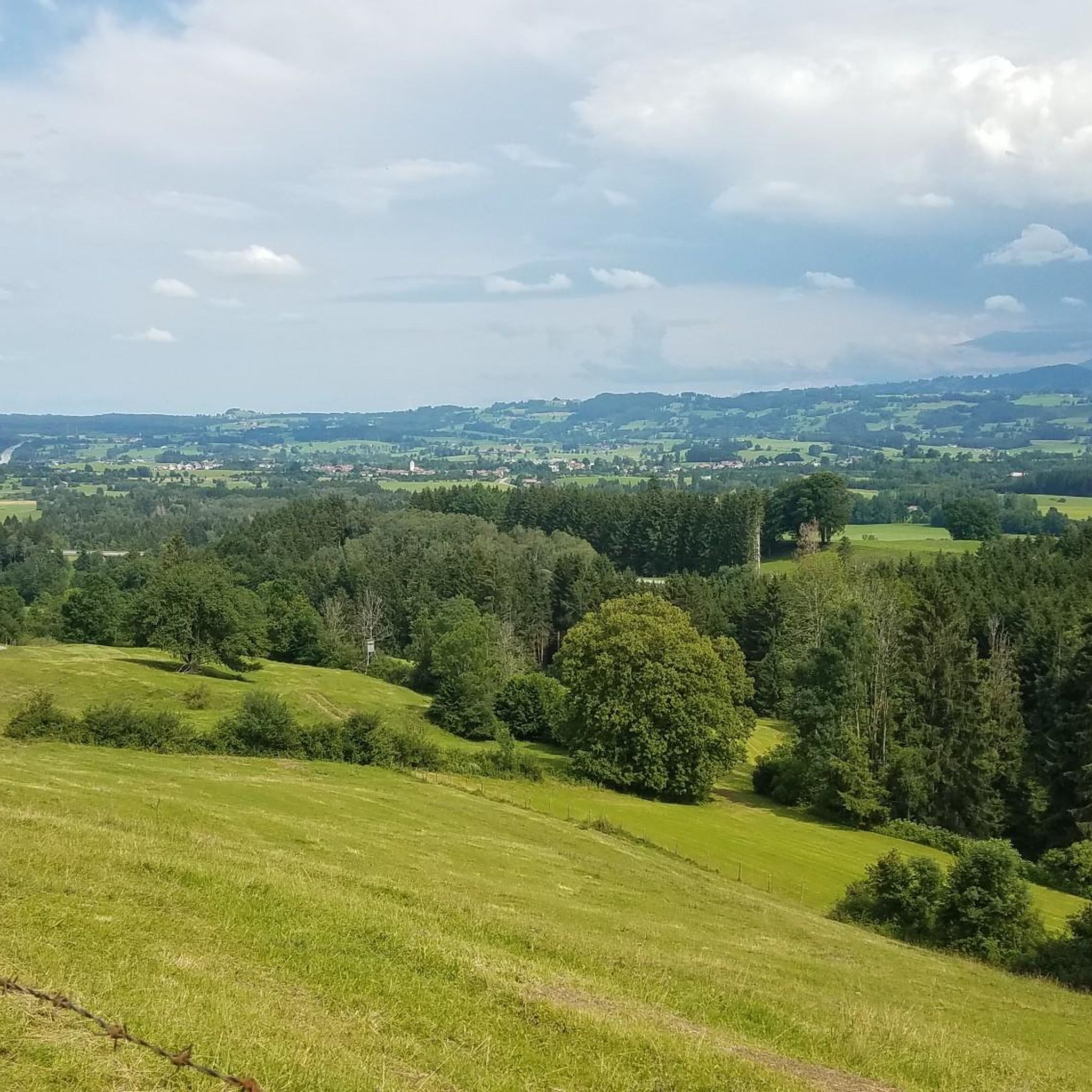
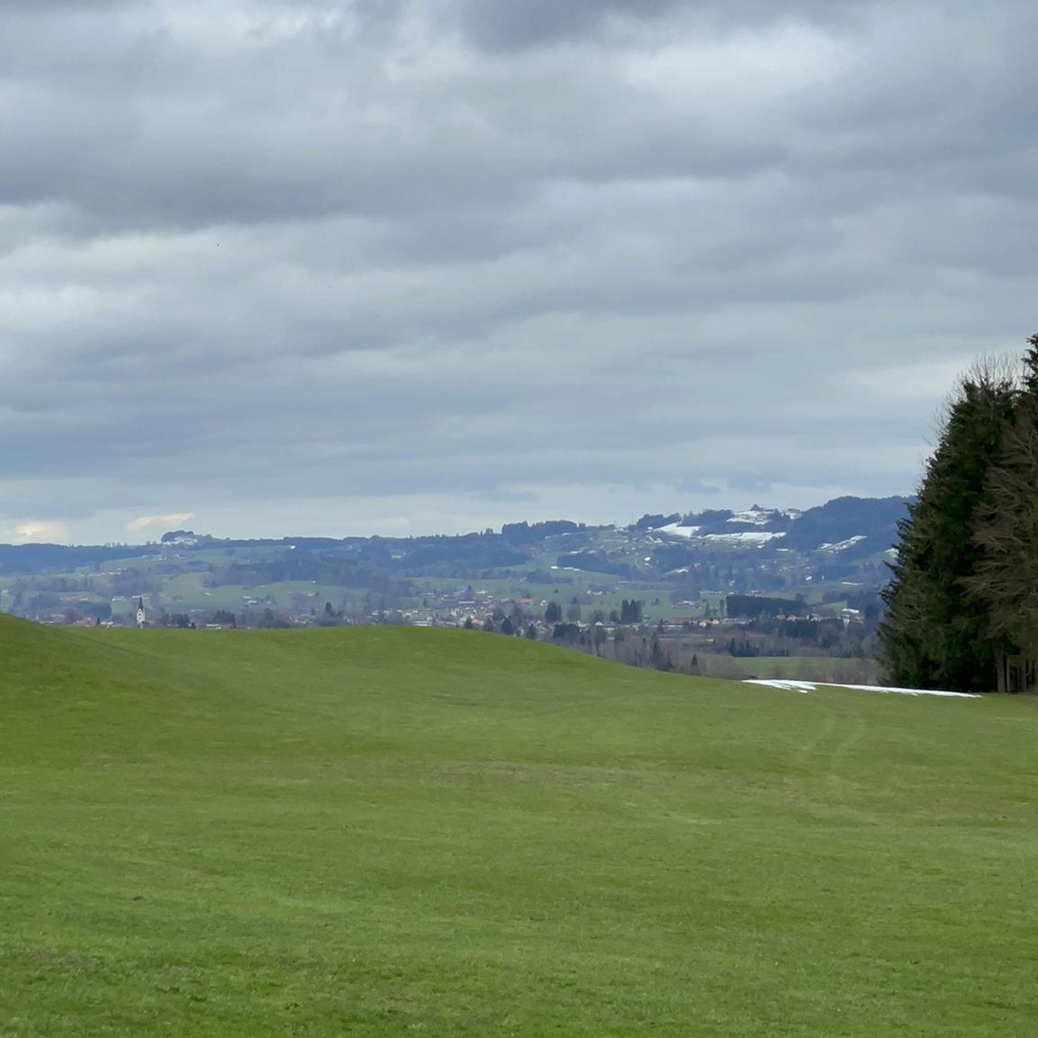
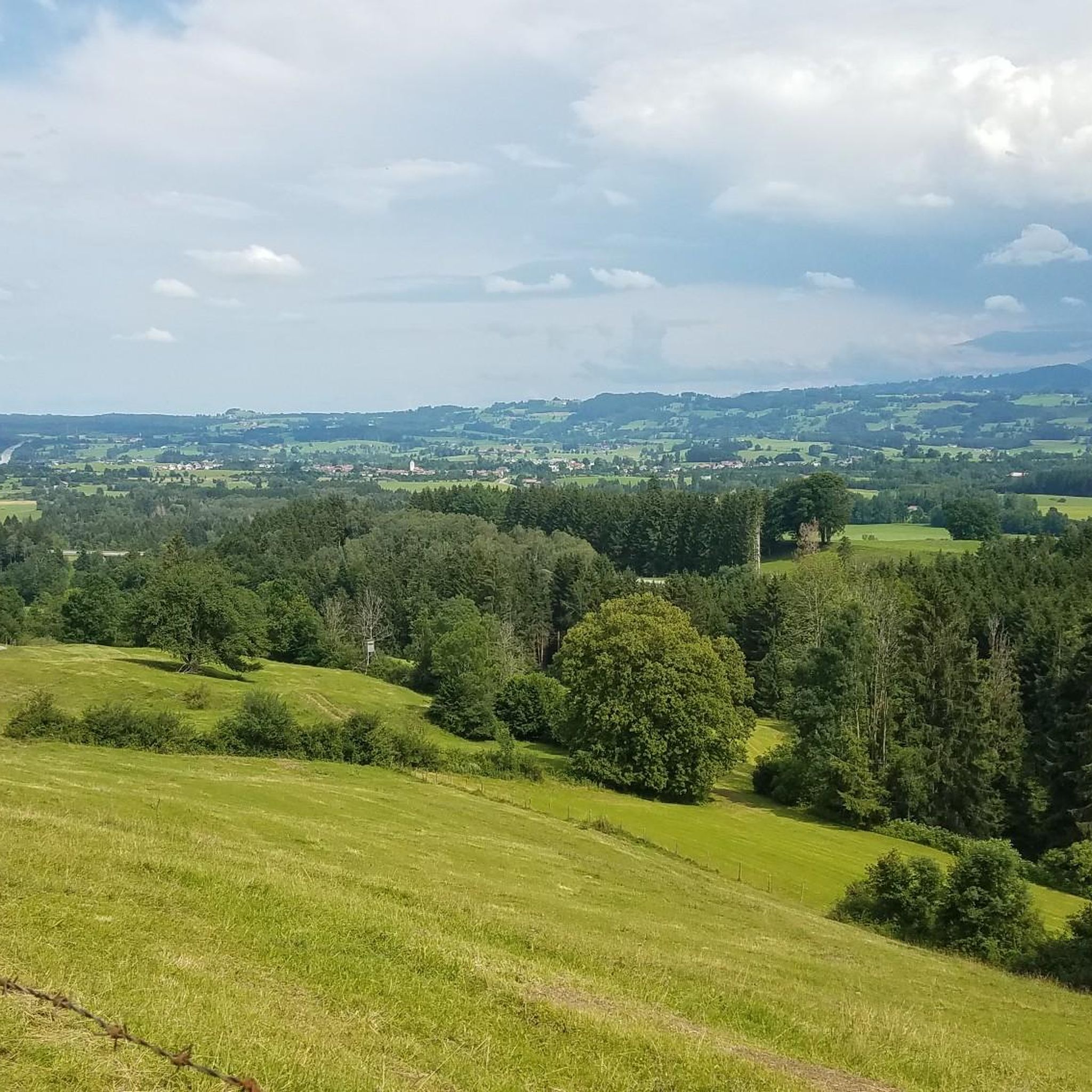
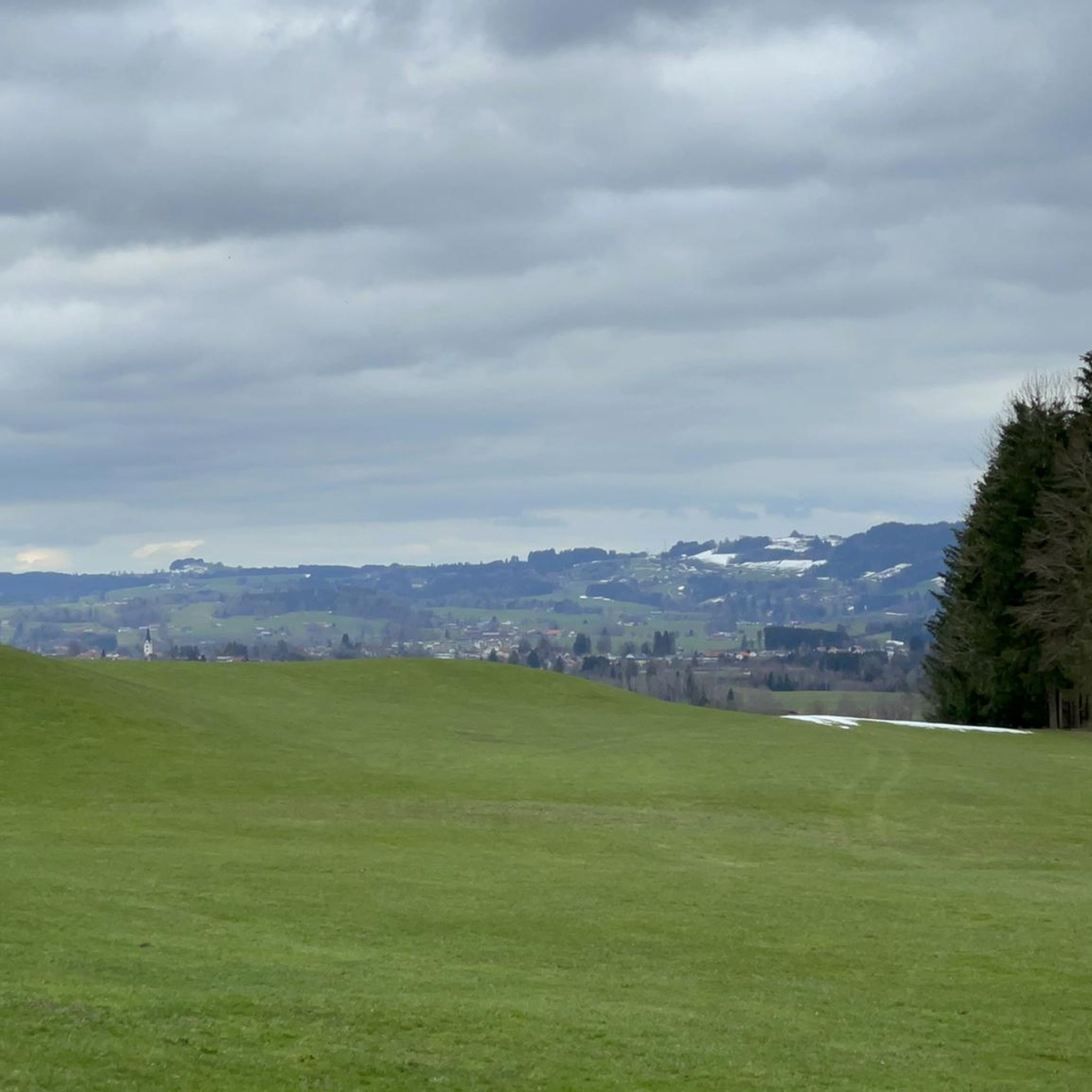
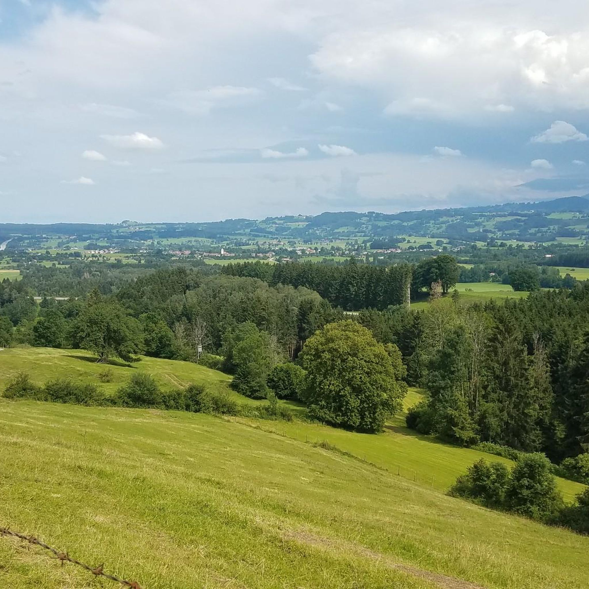
Mountaineering routes around Wirlinger Forest traverse a highland-like excursion area, situated uniquely on the Rhine-Danube watershed. This region is characterized by varied terrain, with streams contributing to two distinct river systems, creating a diverse landscape of forests and gentle elevations. While not featuring technical alpine conditions, the area offers engaging mountain hiking experiences through its natural features. The terrain provides a mix of forest paths and open highland sections, suitable for those seeking recreational mountain activities.
Best mountaineering routes around…
Last updated: July 1, 2026
5.0
(1)
7
hikers
Moderate mountaineering route. Good fitness required. Easily-accessible paths. Suitable for all skill levels.
3.5
(2)
17
hikers
8.51km
02:46
320m
320m
Moderate mountaineering route. Good fitness required. Mostly accessible paths. Sure-footedness required.

Sign up for free
5.0
(1)
6
hikers
Moderate mountaineering route. Good fitness required. Easily-accessible paths. Suitable for all skill levels.
5.0
(1)
10
hikers
7.67km
02:35
280m
280m
Moderate mountaineering route. Good fitness required. Mostly accessible paths. Sure-footedness required.
5.0
(1)
4
hikers
4.65km
01:31
160m
160m
Moderate mountaineering route. Great for any fitness level. Mostly accessible paths. Sure-footedness required.
Get access to more routes and recommendations from other explorers.
Sign up for free
Already have an account?
Our route recommendations are based on thousands of hikes, rides, and runs completed by other people on komoot.
Start today with a free account
Your next adventure awaits.
Login or Signup
Tips from the Community

"Nieso" always beautiful again with many opportunities for a break
0
0

Resting benches with a lake view
2
0

This was my third time here, and I came on a Sunday at the end of the season. The weather was perfect and it was very busy; as a retiree, I enjoyed the peace and quiet during the week. When the weather is right, the mountain views are breathtaking. "The sheep and goats in the meadow need nerves of steel when they're cuddled by children for hours on end."
0
0
I cycled the easier route from Missen again and had a fantastic view of the mountains in Diepolz and towards Niso.
0
0

The alpine pasture is surprisingly small for a museum, and it was very quiet on Wednesday. The path to the pasture is steep from almost all directions. Perhaps you'll have better luck with the weather, even though we're in the Allgäu region.
0
0

Every year on the Sunday after May 1st, the Börlas residents go to Kling's Hut on the Hauchen mountain to raise the maypole. Good food is guaranteed.
0
0

Great trail for sunny, hot days
3
0
Frequently Asked Questions
How many mountaineering routes are available in Wirlinger Forest?
There are over 20 mountaineering routes in Wirlinger Forest, offering a variety of options for exploring the region's unique highland-like terrain.
What is the typical difficulty level of mountaineering routes in Wirlinger Forest?
The majority of mountaineering routes in Wirlinger Forest are classified as moderate, with 22 out of 23 routes falling into this category. There is also one easy route available, making the area accessible for various skill levels.
Are there any circular mountaineering routes in the area?
Yes, many routes in Wirlinger Forest are circular. For example, you can explore the Lake Niedersonthofen – Niedersonthofener See loop from Niedersonthofen, which offers scenic views around the lake, or the Niedersonthofen Waterfall loop from Niedersonthofen for a route featuring a natural highlight.
What kind of natural features or landmarks can I expect to see on these routes?
Wirlinger Forest is characterized by its position on the Rhine-Danube watershed, meaning you'll encounter streams contributing to two distinct river systems. You can also find notable natural features like the Rhine-Danube Watershed and IsnyBähnle Railway, and the Rohrbachtobel Waterfalls. The terrain includes diverse forest paths and open highland sections.
Are there any routes that feature waterfalls?
Yes, the Niedersonthofen Waterfall loop from Niedersonthofen is a moderate 4.6 km route that specifically features a waterfall, providing a refreshing natural highlight during your hike.
What makes the terrain in Wirlinger Forest unique for mountaineering?
The terrain in Wirlinger Forest is unique due to its location on the Rhine-Danube watershed. This creates a varied landscape where streams flow towards either the Iller and Danube or the Rhine, resulting in diverse forest paths and gentle elevations. It offers a highland-like excursion experience without technical alpine conditions.
Are the mountaineering routes in Wirlinger Forest suitable for families?
While specific family-friendly designations are not provided, the prevalence of moderate routes and the highland-like forest environment suggest that many trails could be suitable for families with some hiking experience. The Lake Niedersonthofen – Niedersonthofener See loop from Niedersonthofen, for instance, is a moderate 8.4 km route with relatively low elevation gain, which might be a good option.
What is the best time of year to go mountaineering in Wirlinger Forest?
Based on the general characteristics of forest and highland hiking, spring, summer, and autumn are typically the best seasons for mountaineering in Wirlinger Forest. These periods offer pleasant temperatures and vibrant natural scenery. Winter conditions would require appropriate gear and caution due to potential snow and ice.
Are there options for parking near the mountaineering trailheads?
While specific parking locations are not detailed for each route, trailheads for routes starting from towns like Martinszell im Allgäu and Niedersonthofen generally offer parking facilities. It's advisable to check local signage or online maps for designated parking areas before your visit.
What do other mountaineers say about their experience in Wirlinger Forest?
The mountaineering routes in Wirlinger Forest are highly rated by the komoot community, with an average score of 4.7 stars from over 10 reviews. More than 190 mountaineers have used komoot to explore the varied terrain, often praising the scenic views and diverse paths.
Are there any longer mountaineering routes for a more extended adventure?
While many routes are moderate in length, you can combine sections or explore routes like the Niedersonthofen Waterfall – Stoffelberg Summit loop from Niedersonthofen, which is 8.5 km long and includes a significant elevation gain, offering a more extended and challenging experience.
Can I find food or refreshments near the mountaineering routes?
The Kling's Hut – Höfle Alpe loop from Diepolz specifically leads towards an alpine hut, suggesting opportunities for refreshments along that route. For other trails, starting points in towns like Niedersonthofen or Martinszell im Allgäu may offer cafes or restaurants.
Most popular routes around Wirlinger Forest
Most popular attractions around Wirlinger Forest

Get inspired with the komoot mobile app


Explore more
Browse the best Mountain Hikes & Routes in other regions.
