The best mountain hikes around Crummock Water
4.7
(4)
108
hikers
13
hikes
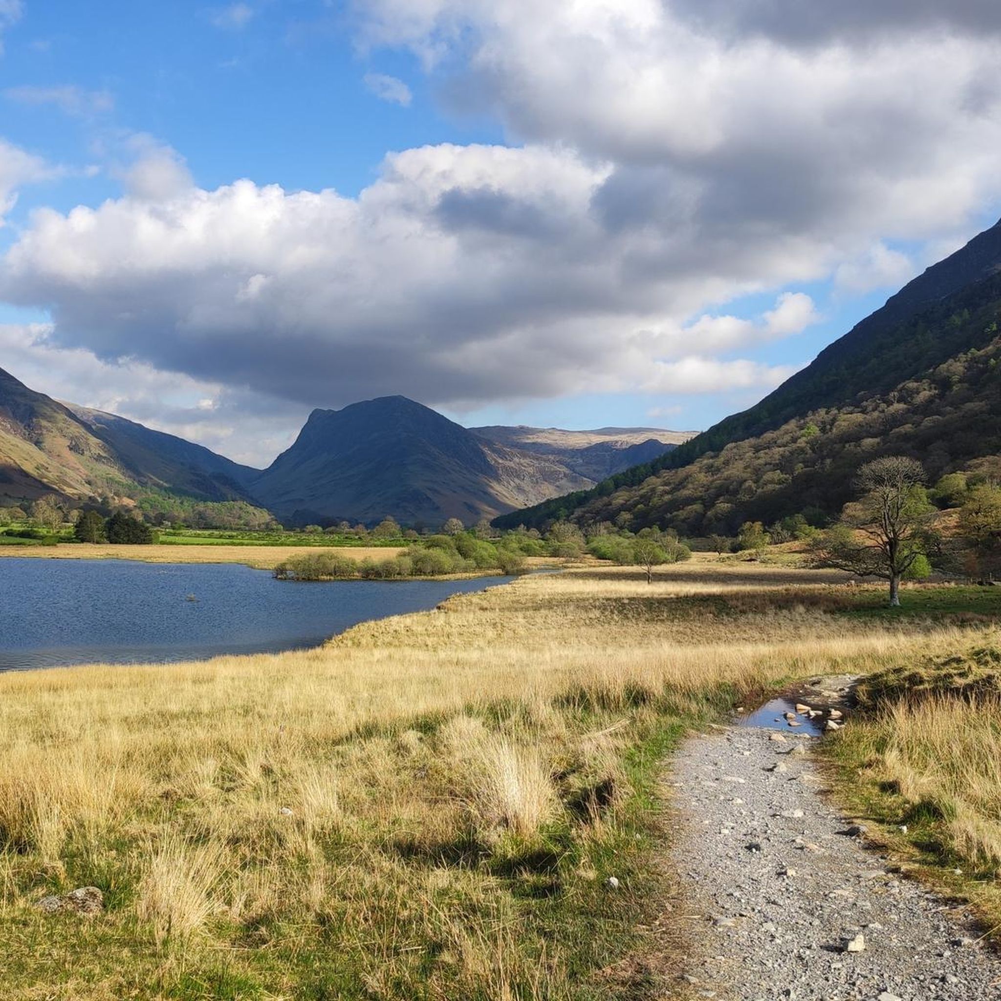
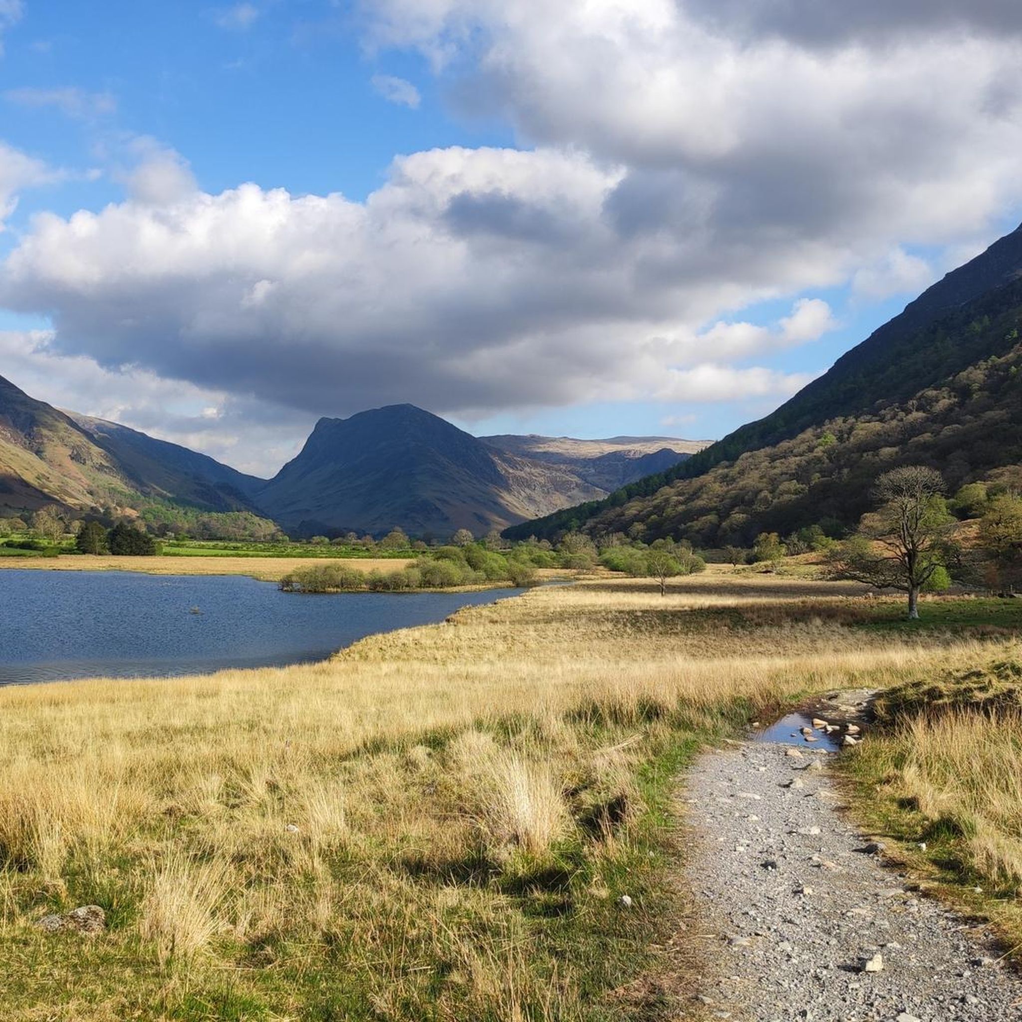
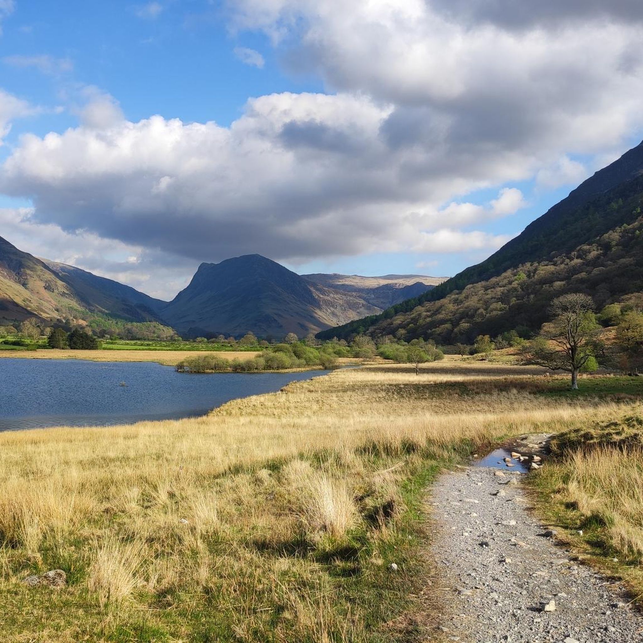
Mountaineering routes around Crummock Water are characterized by dramatic fells, tranquil lakes, and challenging natural features within the Lake District National Park. The region is encircled by majestic fells such as Haystacks, Fleetwith Pike, Red Pike, and Grasmoor, offering varied terrain for ascents. Mountaineering routes often involve scrambles and scree descents, requiring good fitness and sure-footedness. The landscape features deep valleys, open moorland, and the clear waters of Crummock Water itself.
Best mountaineering routes around Crummock Water
- The most popular…
Last updated: June 24, 2026
7
hikers
16.6km
06:47
970m
980m
Hard mountaineering route. Very good fitness required. Sure-footedness, sturdy shoes and alpine experience required.
5
hikers
15.0km
05:17
770m
770m
Hard mountaineering route. Very good fitness required. Mostly accessible paths. Sure-footedness required.

Sign up for free
3
hikers
12.7km
05:08
780m
780m
Hard mountaineering route. Very good fitness required. Mostly accessible paths. Sure-footedness required.
5.0
(1)
4
hikers
7.42km
03:02
490m
480m
Moderate mountaineering route. Good fitness required. Mostly accessible paths. Sure-footedness required.
5.0
(1)
5
hikers
13.1km
05:30
880m
880m
Hard mountaineering route. Very good fitness required. Mostly accessible paths. Sure-footedness required.
Get access to more routes and recommendations from other explorers.
Sign up for free
Already have an account?
Our route recommendations are based on thousands of hikes, rides, and runs completed by other people on komoot.
Start today with a free account
Your next adventure awaits.
Login or Signup

Tips from the Community

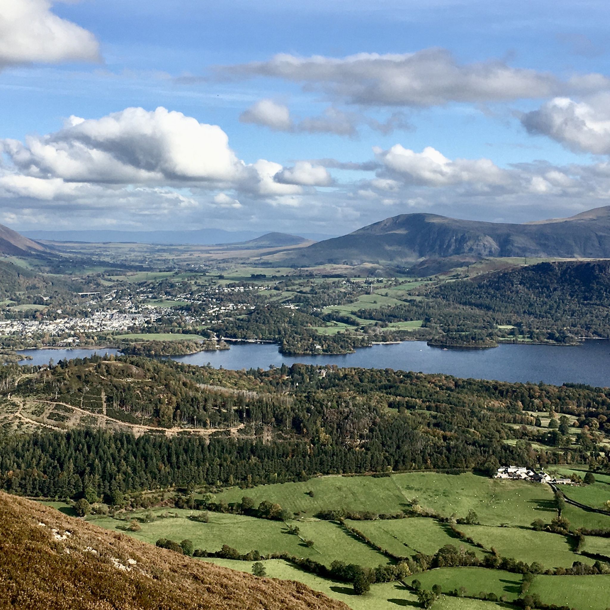
A great ridge to climb from Lanthwaite. Rising to Whiteside and then Hopegill Head. A return journey can be made via any of the North western routes to return into the Buttermere/Crummock valley
0
0

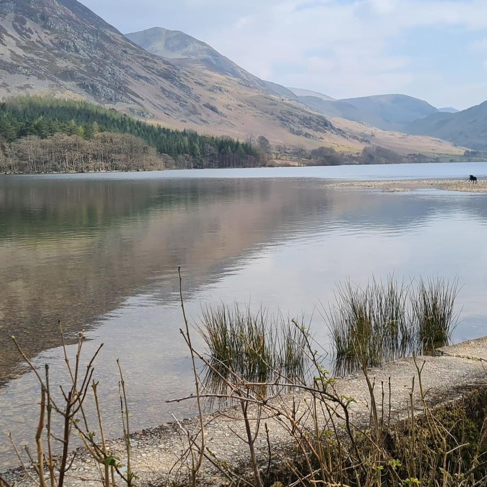
Stunning views almost 360 Crummock water is beautiful. The western side is quieter.
0
0
The list on the scree climb has a vibrant red colour hence the name of the pike. Worth the steep hike up!
0
0
On a clear day, this summit offers 360 views towards Ennerdale and to Buttermere,
0
0
Stunning views overlooking Crummock Water and Buttermere. From here you can descend down the back and have many options to continue your route.
1
0


You can get to the viewpoint a couple different ways. If you turn left just before the top onto the smaller path, there is a part you can do some scrambling on.
0
0
Frequently Asked Questions
How many mountaineering routes are available around Crummock Water?
There are over 15 distinct mountaineering routes around Crummock Water, offering a range of experiences from moderate to difficult. These routes navigate the dramatic fells and valleys of the Lake District National Park.
What level of fitness and experience is required for mountaineering in this region?
Mountaineering routes around Crummock Water are generally rated as moderate to difficult, with no easy options available. They often involve significant elevation gains, scrambles, and scree descents, requiring good to very good fitness and sure-footedness. For example, the Whiteless Pike – Rannerdale Knotts loop is a challenging 9.9-mile route with nearly 950m of ascent.
Are there any circular mountaineering routes around Crummock Water?
Yes, many of the mountaineering routes in the area are designed as loops, allowing you to start and finish in the same location. Popular circular options include the challenging Buttermere – Red Pike loop and the Haystacks – Blackbeck Tarn loop from Gatesgarth, which offers a moderate ascent to Alfred Wainwright's favourite fell.
What natural features and landmarks can I expect to see on these routes?
The routes offer breathtaking views of tranquil lakes like Crummock Water and Buttermere, and take you across majestic fells such as Haystacks, Fleetwith Pike, Red Pike, and Grasmoor. You might also encounter the dramatic slopes of Mellbreak plunging into the lake, or the picturesque Rannerdale Knotts, known for its spectacular bluebell display in late spring.
Is Crummock Water suitable for families interested in mountain hikes?
While there are no 'easy' mountaineering routes in this specific guide, some of the moderate options, such as the Haystacks – Blackbeck Tarn loop, might be suitable for families with older, experienced children who possess good fitness and sure-footedness. Always assess the route's difficulty and your family's capabilities carefully before setting out.
Can I bring my dog on the mountaineering routes around Crummock Water?
Many routes in the Lake District are dog-friendly, but it's crucial to keep dogs under close control, especially in areas with livestock or ground-nesting birds. Some sections may involve scrambles or rocky terrain that could be challenging for dogs. Always check local signage and be prepared to use a lead.
What is the best time of year to go mountaineering around Crummock Water?
The best time for mountaineering is typically from late spring to early autumn (May to October) when the weather is generally more stable, and daylight hours are longer. Late spring also offers the spectacular bluebell display at Rannerdale Knotts. Winter mountaineering is possible but requires specialist equipment and experience due to challenging conditions like ice and snow.
Are there any waterfalls accessible from these mountaineering routes?
Yes, the Lake District's tallest waterfall, Scale Force, is a significant natural attraction in the area. It features an impressive main drop of 170 feet within a secluded, tree-lined gorge. While not directly on all mountaineering routes, it's accessible via a beautiful walk from Buttermere village and can be combined with some longer excursions.
What do other mountaineers enjoy most about the Crummock Water area?
The mountaineering routes around Crummock Water are highly rated by the komoot community, with an average score of 4.8 stars. Reviewers often praise the dramatic fells, the tranquility of the lakes, and the challenging yet rewarding ascents that offer expansive, panoramic views of the surrounding Lake District landscape.
Where can I find amenities like cafes or pubs near the trailheads?
The wider Buttermere Valley, including Buttermere village, offers amenities such as cafes and pubs where you can refuel after your mountain adventure. These are typically located a short distance from many of the popular trailheads, providing convenient options for refreshments and meals.
Are there any less-known or 'hidden gem' mountaineering routes in the area?
While many routes are well-trodden, exploring the less frequented paths up fells like Mellbreak can offer a quieter experience with equally stunning views. The Grey Crag Climbing Routes loop from Buttermere, for instance, leads through rugged mountain terrain that is a favourite among local mountaineers seeking a challenging and immersive experience.
What are the public transport options for reaching Crummock Water?
Public transport to the more remote areas of the Lake District, including Crummock Water, can be limited. It's advisable to check local bus services, particularly those connecting to larger towns like Keswick or Cockermouth, which may offer routes into the Buttermere Valley. Planning in advance is recommended as services can be infrequent.
Can I go wild swimming in Crummock Water?
Crummock Water is known for its serene, deep, and clear waters, making it a popular spot for non-motorized activities, including wild swimming. It offers a quieter alternative to its neighbour, Buttermere. Always exercise caution, be aware of water temperatures, and respect the natural environment when wild swimming.
Most popular routes around Crummock Water

Get inspired with the komoot mobile app


Explore more
Browse the best Mountain Hikes & Routes in other regions.
