The best walks and hikes in the Dinaric Alps Mountains
4.5
(48562)
284,162
hikers
5,454
hikes
Hiking in the Dinaric Alps Mountains offers diverse terrain characterized by extensive karst topography, dramatic limestone formations, and deep canyons. The region features a blend of Mediterranean, Continental, and Alpine influences, supporting varied ecosystems. Numerous rivers have carved impressive gorges, and the landscape includes high mountain ranges and national parks.
Best hiking trails in the Dinaric Alps Mountains
- The most popular hiking route is Milanovački Waterfall – Veliki Prstavak Waterfall loop from Plitvička Jezera, a 10.5 miles (16.8 km) trail that takes 4 hours 38 minutes to complete. This moderate route explores the cascading lakes and interconnected waterfalls of Plitvice Lakes National Park.
- Another top favourite among local hikers is Grunas Waterfall – Theth Canyon loop from Thethi National Park, a difficult 12.2 miles (19.6 km) path. This trail navigates through rugged mountain scenery and past the Grunas Waterfall within Theth National Park.
- Local hikers also love the View of the Paklenica Gorge – View of the Velika Paklenica Gorge loop from Marasovići, a 9.5 miles (15.3 km) trail leading through the impressive Paklenica Gorge, often completed in about 4 hours 34 minutes.
- Hiking in the Dinaric Alps Mountains is defined by its distinctive karst topography, deep river canyons, and high mountain ridges. The extensive network of routes offers options for various ability levels, from accessible paths to challenging ascents.
- The routes in Dinaric Alps Mountains are highly rated by the komoot community with an average score of 4.5 stars from over 40,000 reviews. More than 240,000 hikers have used komoot to explore Dinaric Alps Mountains's varied terrain.
Last updated: October 9, 2026
4.9
(1055)
7,061
hikers
Moderate hike. Good fitness required. Easily-accessible paths. Suitable for all skill levels.
4.7
(168)
588
hikers
10.0km
03:27
400m
400m
Moderate hike. Good fitness required. Mostly accessible paths. Sure-footedness required.

4.7
(1095)
4,980
hikers
Hard hike. Very good fitness required. Sure-footedness, sturdy shoes and alpine experience required.
4.6
(93)
231
hikers
7.30km
02:33
330m
330m
Moderate hike. Good fitness required. Mostly accessible paths. Sure-footedness required.
4.8
(845)
4,736
hikers
15.7km
08:04
1,290m
1,290m
Hard hike. Very good fitness required. Mostly accessible paths. Sure-footedness required.
4.8
(758)
3,578
hikers
17.6km
08:10
1,100m
1,100m
Hard hike. Very good fitness required. Mostly accessible paths. Sure-footedness required.
4.5
(67)
217
hikers
7.40km
02:07
150m
150m
Moderate hike. Good fitness required. Mostly accessible paths. Sure-footedness required.
4.7
(524)
2,752
hikers
Moderate hike. Good fitness required. Easily-accessible paths. Suitable for all skill levels.
4.7
(456)
2,977
hikers
5.76km
02:03
200m
200m
Hard hike. Good fitness required. Sure-footedness, sturdy shoes and alpine experience required.
4.5
(478)
2,037
hikers
Moderate hike. Good fitness required. Mostly accessible paths. Sure-footedness required.
Get access to more routes and recommendations from other explorers.
Already have an account?
Our route recommendations are based on thousands of hikes, rides, and runs completed by other people on komoot.
Start today with a free account
Your next adventure awaits.
Popular around Dinaric Alps Mountains
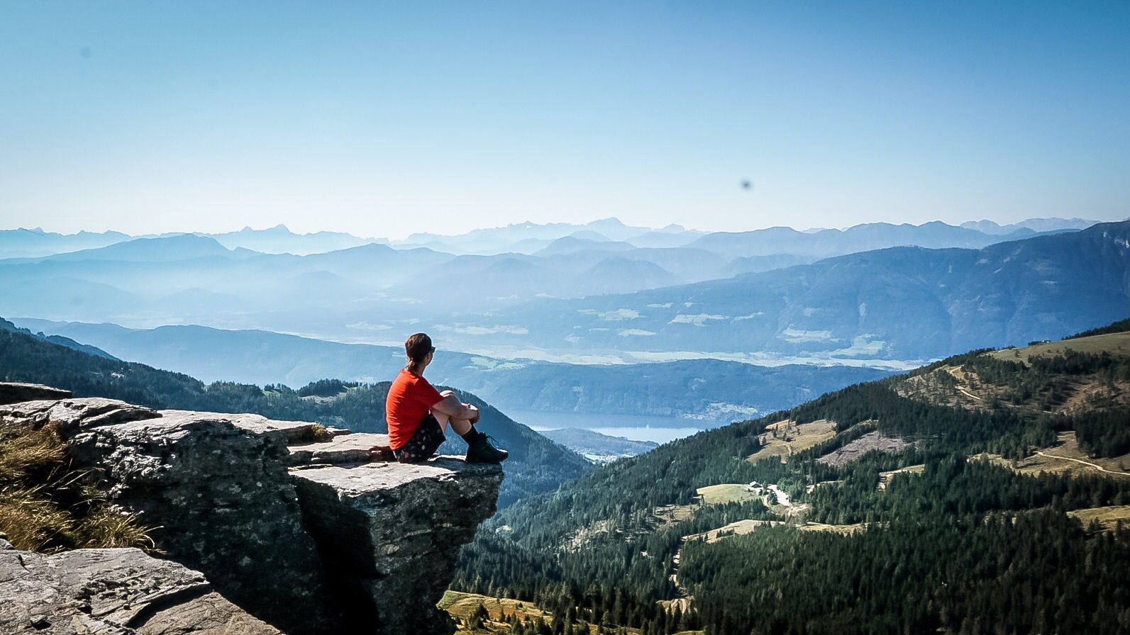
Alpe-Adria-Trail: My long-distance hike from the glacier to the sea
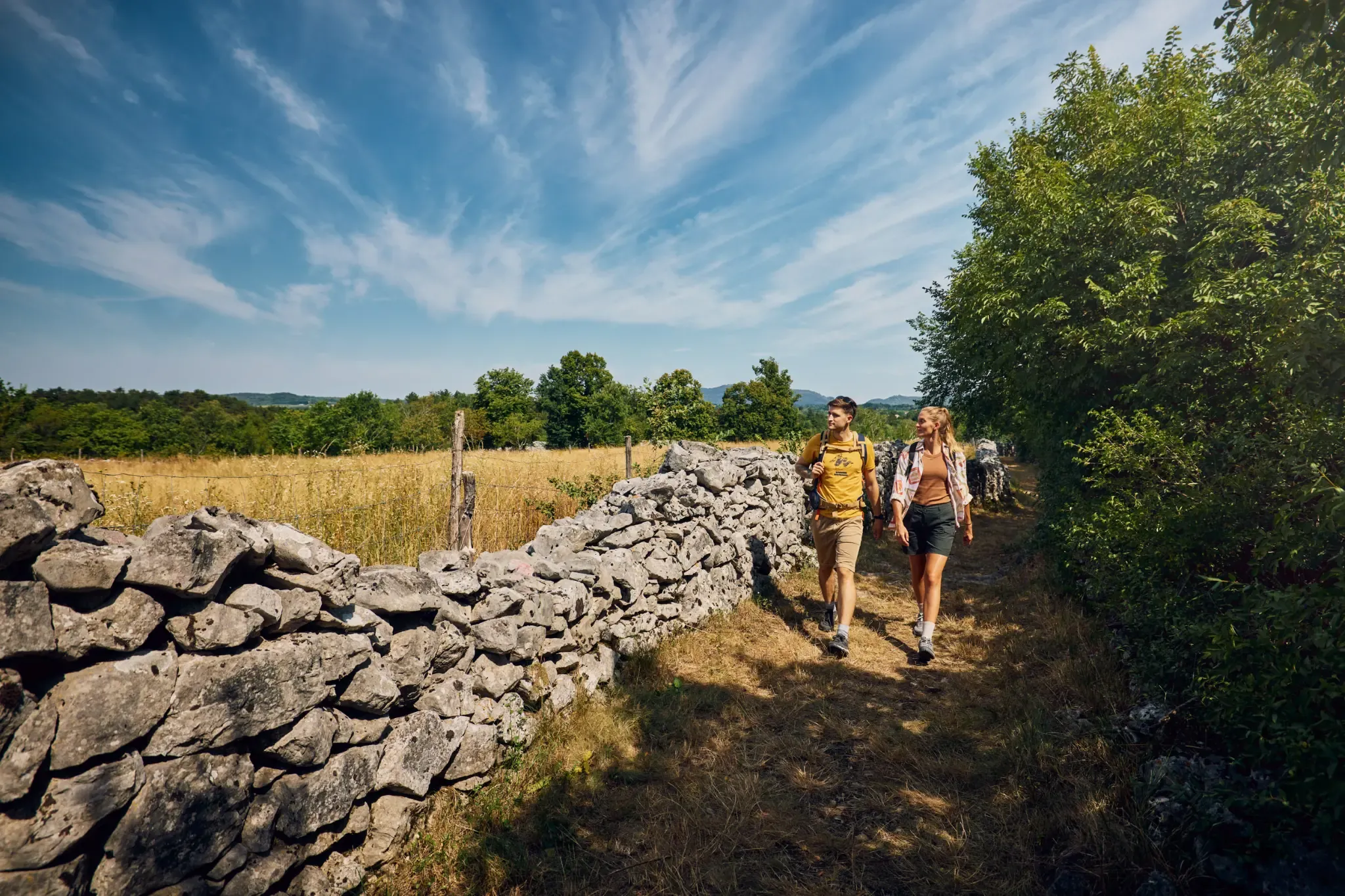
Carsus Trail – long-distance hiking in the green heart of the Karst
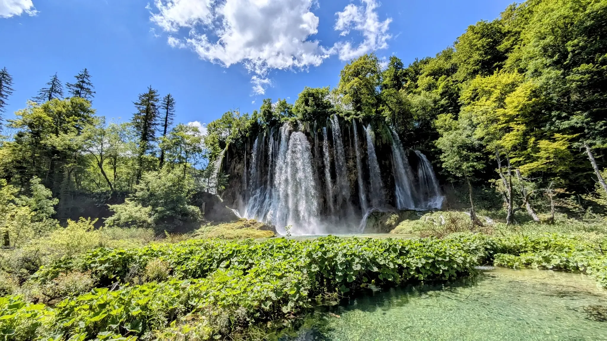
Green Wilderness, Blue Adriatic – Hiking in Croatia's National Parks
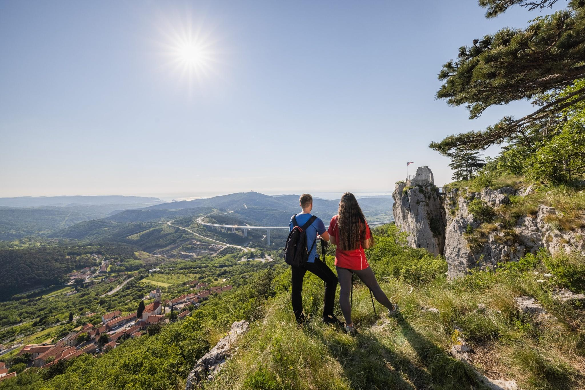
Hiking adventures in Slovenia for families away from the hustle and bustle
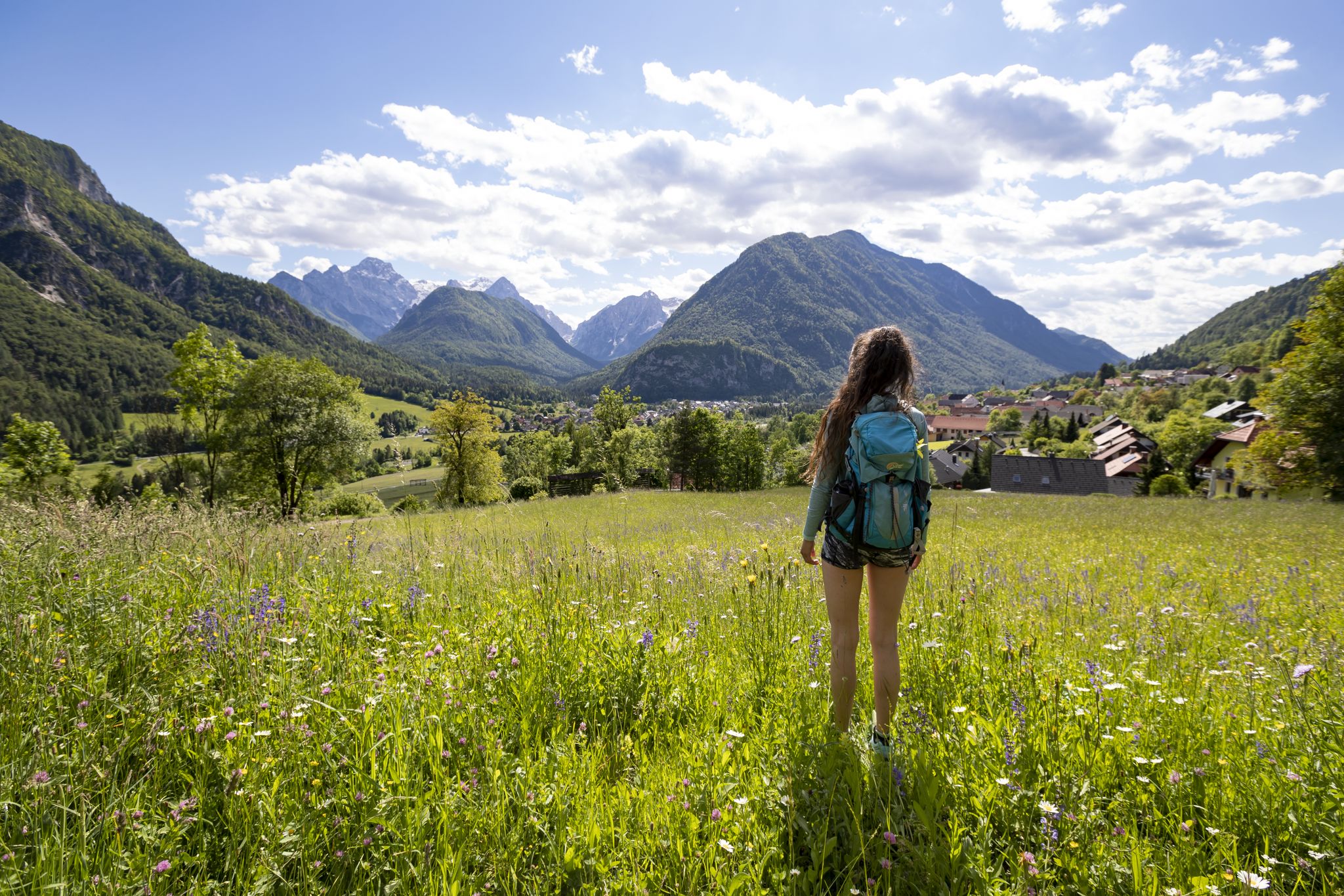
Uniquely secluded - long-distance hiking on Slovenia's Juliana Trail
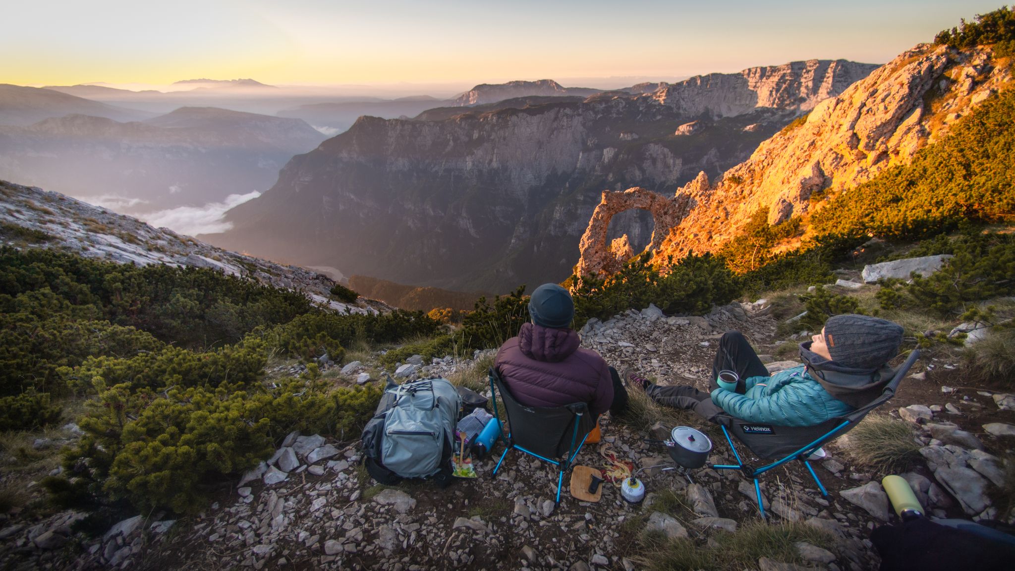
Warm earth and wild mountains — hiking in the Bosnian Alps
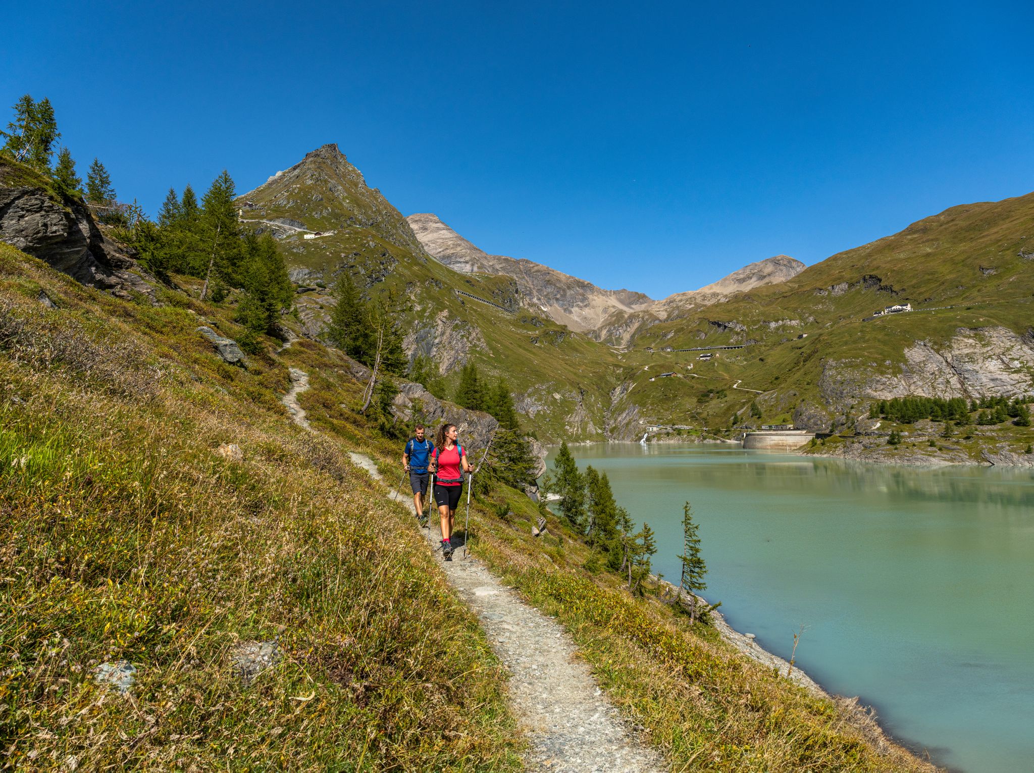
From the Grossglockner to the sea on the Alpe Adria Trail
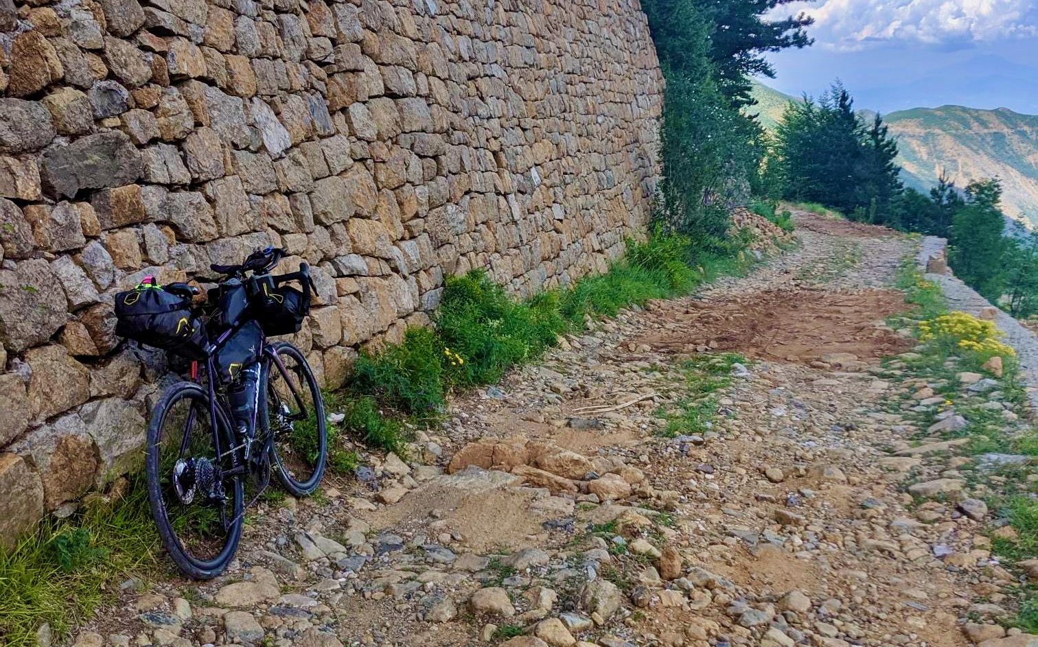
Traversing the Dinaric Alps — bikepacking from the mountains to the sea
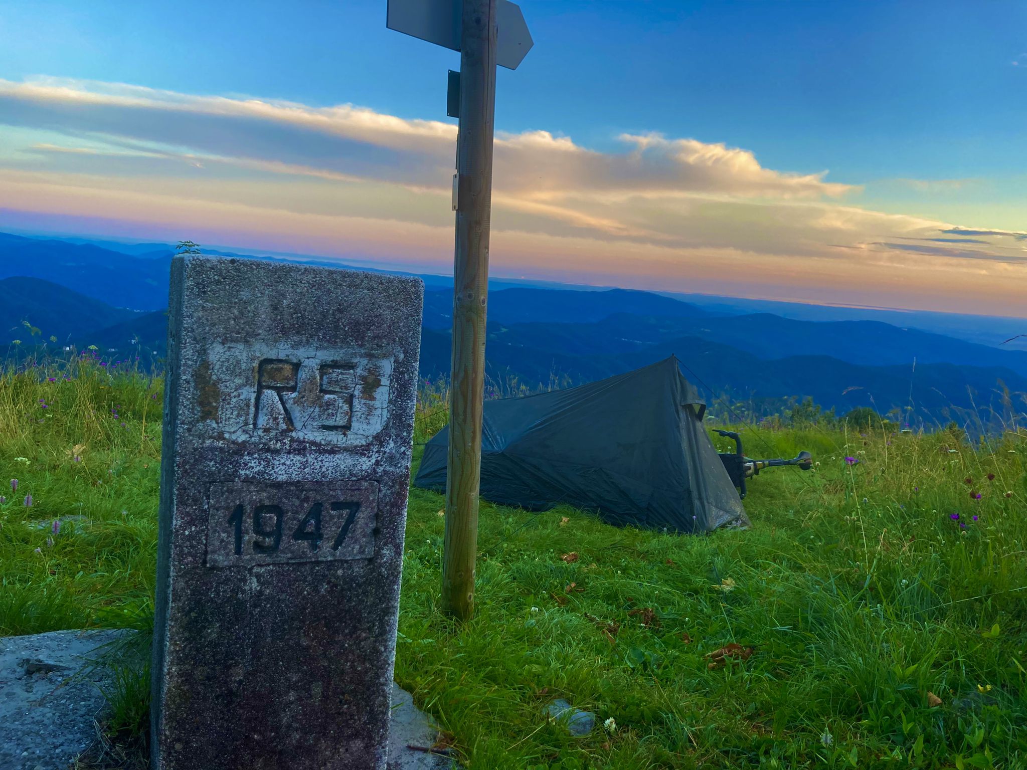
From Bavaria to the Adriatic - My Bikepacking Adventure to Croatia 2023
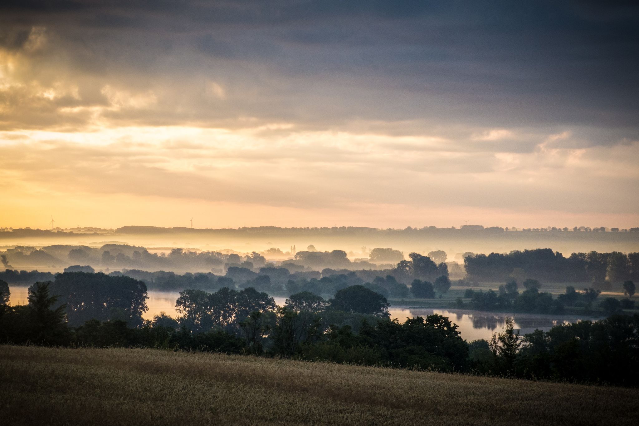
EuroVelo 9 – The Amber Route from the Baltic to Adriatic Sea
Other adventures in the Dinaric Alps Mountains


Tips from the Community

Behind the church we walk in a southeasterly direction through fields and meadows and arrive at a path flanked by trees and a wall. On the left is the Ethnographic Museum on a rock. We climb to the right over the wooden ladder, however, towards the path along the river. Before restaurant Shpella we turn left and walk straight towards the 'refuge tower'. The *Kulla e Ngujimit* is a multi-story stone tower where men threatened with blood revenge could seek refuge.
7
0
In the heart of the valley stands the stone church of Theth, built in 1892 as a meeting place for the mountain community. During the atheistic period 1967–1990 it was closed and transformed into a health and maternity post, a role it fulfilled for decades. After the fall of the regime, the church regained its original function. The wooden roof and slender tower stand out sharply against the peaks of the Accursed Mountains, while inside the same simplicity and silence reign again — a place where tradition, landscape, and mountain tranquility meet.
7
0
Idyllic, picturesque place. Worth the hike. The restaurant upstairs offers a pleasant break and is the ideal photo spot.
6
0
Deep in the valley of Theth lies the Blue Eye: a clear blue spring that forms in a natural pool between limestone and moss. The water comes directly from an underground karst spring and remains ice-cold, even in the middle of summer. Around the pool are smooth rocks, small waterfalls, and turquoise streams that together form one of the most photogenic spots in Theth National Park. The path to it winds along the river, through narrow passages and over wooden bridges, until you reach the pool where light and water create an almost surreal color.
6
0
You will encounter this rather elongated, popular pool before you reach Blue eye. Another 5' walk.
6
0
The Grunas-kloof forms a narrow limestone passage through which the river cuts with force. Between the rock walls, the water plunges in a series of small waterfalls, the highest of which — the Grunas waterfall — drops over 25 meters. The gorge is located at an altitude of about 900 m, surrounded by dense beech forests and steep mountain flanks. The path to it follows old shepherd routes and offers ever-new views of the blue-green water winding through the rocks.
6
0
Deep in the Albanian Alps, the Shalë River carves a narrow, green valley out of the limestone. The water remains strikingly clear and light blue, even in the shadow of the steep walls. Along the riverbed, boulders, still pools, and small rapids alternate. The landscape feels untouched and photogenic at the same time: a place where light, water, and stone constantly create new compositions.
6
0
Narrow, powerful waterfall dropping 25–30 meters down a vertical limestone wall on the west flank of the Theth Valley. The source lies directly above the fall, fed by a high-altitude karst spring and meltwater, ensuring the water remains clear and cold even in summer. Since 2002, the waterfall has been an official nature monument. The path to it is short but steep, with wet, slippery stones and a river crossing that can be challenging in rain. Its location — wedged between rocks and greenery — makes this one of Theth's most characterful spots.
6
1
Frequently Asked Questions
How many hiking trails are available in the Dinaric Alps Mountains?
The Dinaric Alps Mountains offer a vast network of trails, with over 5,500 hiking routes available on komoot. This includes more than 2,000 easy trails, over 2,600 moderate routes, and around 800 difficult paths, catering to all experience levels.
What do other hikers say about the trails in the Dinaric Alps Mountains?
The hiking trails in the Dinaric Alps Mountains are highly regarded by the komoot community, boasting an average rating of 4.5 stars from over 40,000 reviews. More than 240,000 hikers have used komoot to explore the region's diverse terrain, often praising its dramatic karst landscapes, deep canyons, and rich biodiversity.
What kind of landscapes can I expect to see while hiking in the Dinaric Alps?
The Dinaric Alps are renowned for their distinctive karst topography, featuring striking limestone formations, vast cave systems, and deep canyons carved by turquoise rivers. You'll encounter high mountain ridges like Velebit and Biokovo, lush forests, and serene lakes, particularly in areas like Plitvice Lakes National Park. The region offers a unique blend of Mediterranean, Continental, and Alpine influences.
Are there easy hiking trails suitable for beginners in the Dinaric Alps?
Yes, the Dinaric Alps offer numerous easy hiking trails perfect for beginners. Out of over 5,500 routes, more than 2,000 are classified as easy. These paths often meander through valleys, along riverbanks, or around lower-altitude areas, providing accessible ways to experience the region's natural beauty without strenuous climbs.
Can I find challenging multi-day treks in the Dinaric Alps?
Absolutely. The Dinaric Alps are home to the Via Dinarica, a long-distance trail network that offers extensive multi-day trekking opportunities. The 'White Trail' follows the highest summits, providing challenging ascents and requiring good fitness and alpine experience. Other difficult routes, such as the Grunas Waterfall – Theth Canyon loop from Thethi National Park, offer rugged mountain scenery over longer distances.
Are there circular hiking routes in the Dinaric Alps?
Yes, many circular hiking routes are available, allowing you to start and end your journey at the same point. For instance, the Val Rosandra Circular Trail from Former Gabrio Modugno Station is a moderate 10 km loop. Another option is the View of the Paklenica Gorge – View of the Velika Paklenica Gorge loop from Marasovići, which takes you through impressive rock formations.
Are there hikes that feature waterfalls in the Dinaric Alps?
The Dinaric Alps are famous for their stunning waterfalls. Plitvice Lakes National Park is a UNESCO World Heritage site renowned for its cascading lakes and interconnected waterfalls, including the Upper Lakes Waterfalls and Milanovački Waterfall. You can also explore the View of the Theth Valley – Grunas Waterfall loop from Thethi National Park to see the impressive Grunas Waterfall.
What are some good options for family-friendly hikes in the Dinaric Alps?
For families, look for easier trails, especially those in national parks or along well-maintained paths. Many sections of the national parks, such as Plitvice Lakes, offer boardwalks and gentle trails suitable for children. Consider routes with interesting natural features like smaller waterfalls or scenic viewpoints that are easily accessible.
Are dogs allowed on the hiking trails in the Dinaric Alps?
Dog policies vary significantly across different national parks, protected areas, and specific trails within the Dinaric Alps. While some areas may permit dogs on leash, others might have restrictions or require specific permits. It's always best to check the regulations of the specific park or trail you plan to visit beforehand to ensure a smooth trip with your canine companion.
Where can I find panoramic viewpoints along the trails?
The Dinaric Alps offer countless panoramic viewpoints due to their rugged terrain. Peaks like Maglić Peak (the highest in Bosnia and Herzegovina) and Dinara Peak provide breathtaking vistas. The Velebit and Biokovo ridges in Croatia, and the Durmitor Mountains in Montenegro, are also known for their spectacular views. Many trails, even moderate ones, will lead to elevated points offering expansive scenery.
What is the best time of year to go hiking in the Dinaric Alps?
The best time for hiking in the Dinaric Alps is generally from late spring (May) to early autumn (October). During these months, the weather is typically mild, and trails are clear of snow, especially at lower and mid-altitudes. Summer (July-August) can be warm, particularly in lower canyons, while spring and autumn offer pleasant temperatures and vibrant natural colors. Higher mountain areas may retain snow until early summer.
Are there specific attractions or landmarks I should look out for?
Beyond the stunning natural landscapes, the Dinaric Alps are rich in attractions. Don't miss the cascading lakes of Plitvice Lakes National Park. For impressive rock formations, explore Paklenica National Park, home to the unique Tulove Grede massif. You can also find historical sites like Fortica Fortress in Omiš, offering cultural insights amidst your hikes.
Most popular routes in the Dinaric Alps Mountains
Most popular attractions in the Dinaric Alps Mountains

Get inspired with the komoot mobile app


Explore more
Browse the best Hikes in other regions.
