The best walks and hikes around Rutland Water
4.5
(866)
6,920
hikers
271
hikes
Hikes around Rutland Water feature routes that circle England's largest man-made reservoir. The landscape is characterized by rolling countryside, expansive wetlands, and mixed woodlands. Most trails follow well-maintained waterside paths with minimal elevation change, making the area accessible for various fitness levels.
Best hiking trails around Rutland Water
- The most popular hiking route is the Hambleton Peninsula loop — Rutland Water, a 5.7-mile (9.2 km) trail that takes around 2 hours 20 minutes to complete. This moderate route offers wide views across the water from the central peninsula.
- Another top favourite among local hiking enthusiasts is the Rutland Water – Barnsdale Bluebell Woodland loop from Upper Hambleton, an easy 3.7-mile (5.9 km) path. The trail leads through woodland sections along the reservoir's northern shore.
- Local hiking enthusiasts also love the View of Rutland Water – Rutland Water loop from Whitwell, a 14.7-mile (23.7 km) trail that follows a large portion of the reservoir's perimeter, often completed in about 6 hours 5 minutes.
- Hiking around Rutland Water is defined by its extensive reservoir shoreline, dedicated nature reserves, and gentle woodland paths. The network of trails provides options for short family-friendly hikes as well as longer distance challenges.
- The routes in Rutland Water are highly rated by the komoot community with an average score of 4.6 stars from over 700 reviews. More than 6,000 hikers have used komoot to explore Rutland Water's varied terrain.
Last updated: July 2, 2026
4.8
(143)
917
hikers
9.22km
02:23
50m
50m
Moderate hike. Good fitness required. Easily-accessible paths. Suitable for all skill levels.
4.4
(14)
119
hikers
35.8km
09:16
200m
200m
Hard hike. Very good fitness required. Mostly accessible paths. Sure-footedness required.

Sign up for free
4.0
(4)
379
hikers
7.82km
02:00
30m
30m
Easy hike. Great for any fitness level. Easily-accessible paths. Suitable for all skill levels.
4.6
(5)
119
hikers
Easy hike. Great for any fitness level. Easily-accessible paths. Suitable for all skill levels.
4.8
(6)
84
hikers
Moderate hike. Good fitness required. Easily-accessible paths. Suitable for all skill levels.
Get access to more routes and recommendations from other explorers.
Sign up for free
Already have an account?
Our route recommendations are based on thousands of hikes, rides, and runs completed by other people on komoot.
Start today with a free account
Your next adventure awaits.
Login or Signup

Tips from the Community

Nice and easy hike on the man path, while some of the smaller ones canbe a bit owegrown an soggy. ood change of scenery to make a walk here more varied.
1
0
Great area for a hike. If you do not want to go the full circle alternatives to walking back on the same track are a bit limited.
4
0

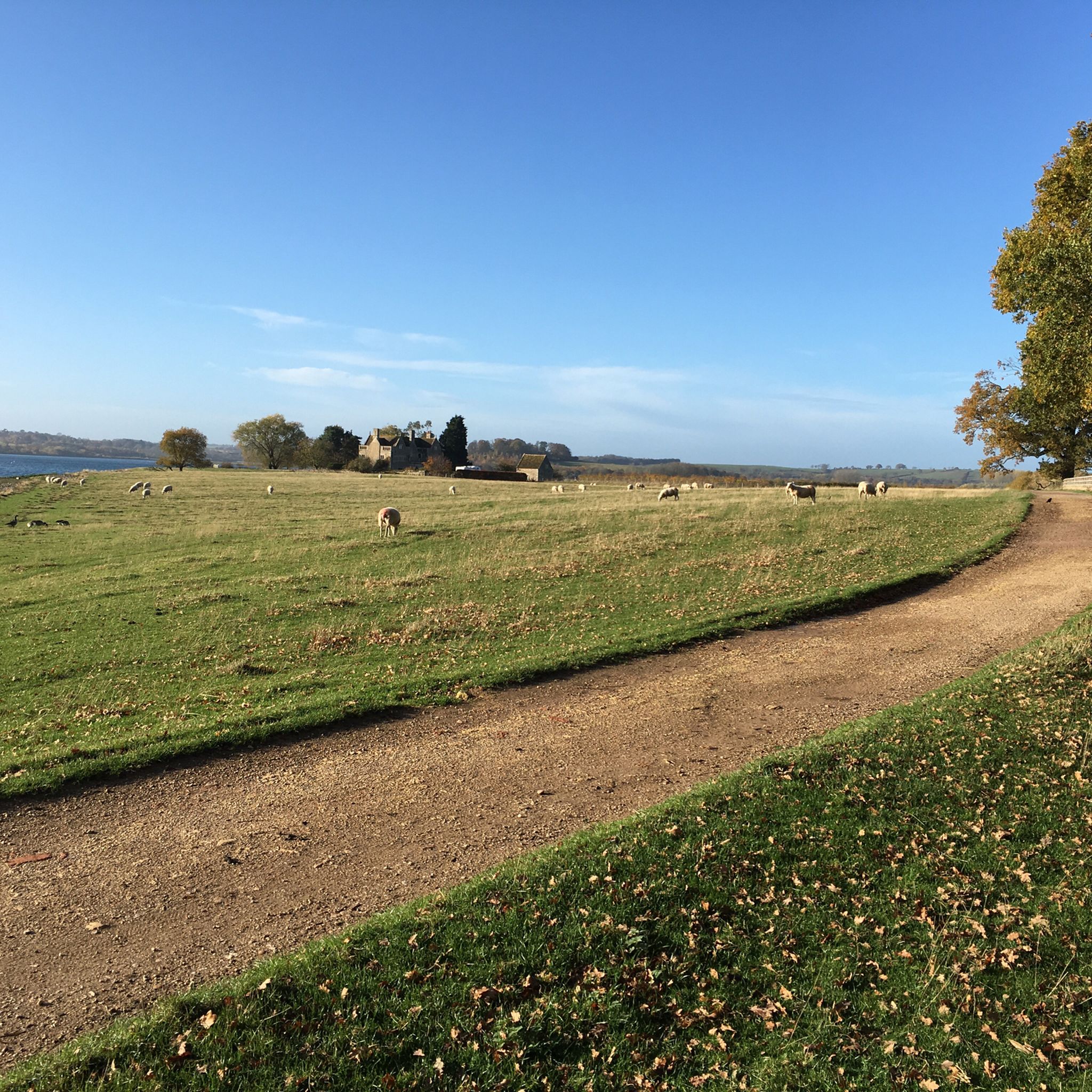
From the village of Upper Hambleton there is a path that takes you round the peninsula. It is around 4m in length.
0
0
St Andrew's Church is the Church of England parish church of Hambleton, Rutland. It is a Grade II* listed building.
0
0
The village stands on the Hambleton Peninsula between arms of the Rutland Water reservoir.
0
0

Fairly enjoyable walk. Although many miles spent walking by roadsides with limited/no view of the reservoir. People who follow this route (as I did), please be aware that around 2.7 miles in, the restricted access warning prevented any access of the route whatsoever (unless obtaining permission/key pass). This left me having to detour back up to the main road and added a further 1.5 miles onto my route and a couple of failed attempts trying to get back to the route again. This route is definitely more suited to cyclists, but worth the go on a nice day.
0
0

Compact gravel in the drier days and mud in the wet ones.
0
0

There's a couple of pubs pretty close, if one beer gardens full, the other will oblige
0
0
More Information
Enjoy lake views and waterside adventures
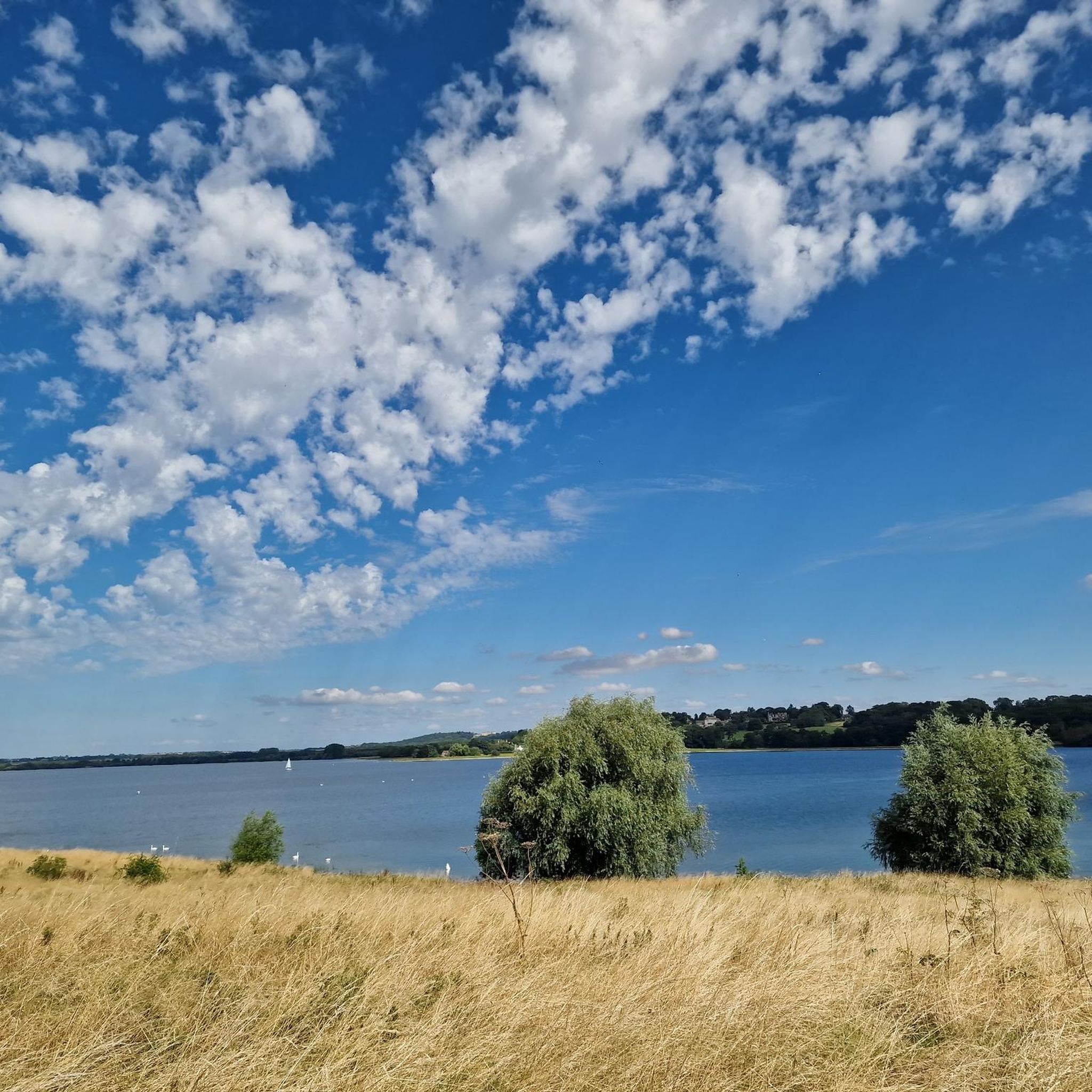
The most comprehensive hikes around Rutland Water take in its 23-mile (37 km) perimeter, including the beautiful Hambleton Peninsula. So natural does the reservoir look, that it’s hard to believe that before the 1970s there were two small valleys here. The water has done more than change the look of the landscape, it’s responsible for an incredible array of wetland birds and a wide range of overwintering species.
You can hike the entire perimeter in either direction. Walks around Rutland Water’s pretty peninsula are also an excellent way to enjoy expansive views as well as to explore the old village of Hambleton. On the waterside at Egleton you can head to the bird watching area at the enclosed bay. On the north side of the water, Barnsdale Creek is another nature reserve that offers birdwatching opportunities. With Barnsdale and Burley Woods, you can also explore between the trees on peaceful tracks.
Walking from village to village
Some of the best hiking trails at Rutland Water include visiting the pretty settlements that have found themselves on the edge of this vast reservoir. Oakham is the county town, lying just west of the water and is fascinating in its own right, with a Normal castle and a historic buttercross – a medieval open air marketplace. On the western shore lies Egleton, a village with easy access to numerous bird hides and the lagoons making up the main nature reserve.
To the south, you can visit Manton and Edith Weston while Empingham lies next to the dam to the east. On the northern banks lies Whitwell, the main base for water sports and activities. In each of these villages you can find parking, pubs and cafes, so you’re never far from a lunch stop no matter how long you walk around Rutland Water.
Watching for resident birds
Tens of thousands of birds call the reservoir their home and throughout the year you can spot various different feathered faces amongst the crowds. Tufted ducks, widgeons, shovellers, common scouter, many types of grebes and teal are all here at one time of year or another. The bird hides offer fantastic views of flocks but you can often spot unusual birds wherever you are along the lake’s edge.
Frequently Asked Questions
How long does it take to walk the full circuit around Rutland Water?
The full perimeter walk around Rutland Water is a significant challenge, covering approximately 22 miles (35 km). For a seasoned hiker, this can take around eight hours to complete. Many people choose to tackle it in shorter, more manageable sections.
Are there any good circular walks that don't involve the full perimeter?
Yes, there are several excellent circular walks. For a shorter, easy outing, consider the Rutland Water – Barnsdale Bluebell Woodland loop from Whitwell. It's a 3.6-mile (5.8 km) trail that takes you through lovely woodland sections on the reservoir's northern shore.
Can I bring my dog for a walk at Rutland Water?
Dogs are welcome at Rutland Water, but they must be kept on a lead in most areas to protect the wildlife, particularly within the nature reserves. For a place where your dog may have more freedom, locals enjoy the Gorse Field Nature Reserve, which is enclosed and has various trails.
What do other hikers enjoy most about the trails around Rutland Water?
The area is highly rated by the komoot community. Hikers often praise the well-maintained, waterside paths and the stunning views across the reservoir. The abundance of wildlife, especially the birdlife within the Rutland Water Nature Reserve, is another frequently mentioned highlight.
Are the paths suitable for prams and wheelchairs?
Many of the main paths around the reservoir, particularly the perimeter track, are tarmac or compacted stone, making them generally accessible for prams and wheelchairs. However, some of the smaller, more natural trails through woodlands or fields may be uneven and not suitable.
Where are the best places for wildlife and birdwatching?
The Rutland Water Nature Reserve is an internationally recognized wetland and a premier spot for birdwatching. It features numerous lagoons and bird hides, offering fantastic opportunities to see over 25,000 waterfowl, breeding ospreys, and other wildlife.
Is there a good hike for seeing the iconic Normanton Church?
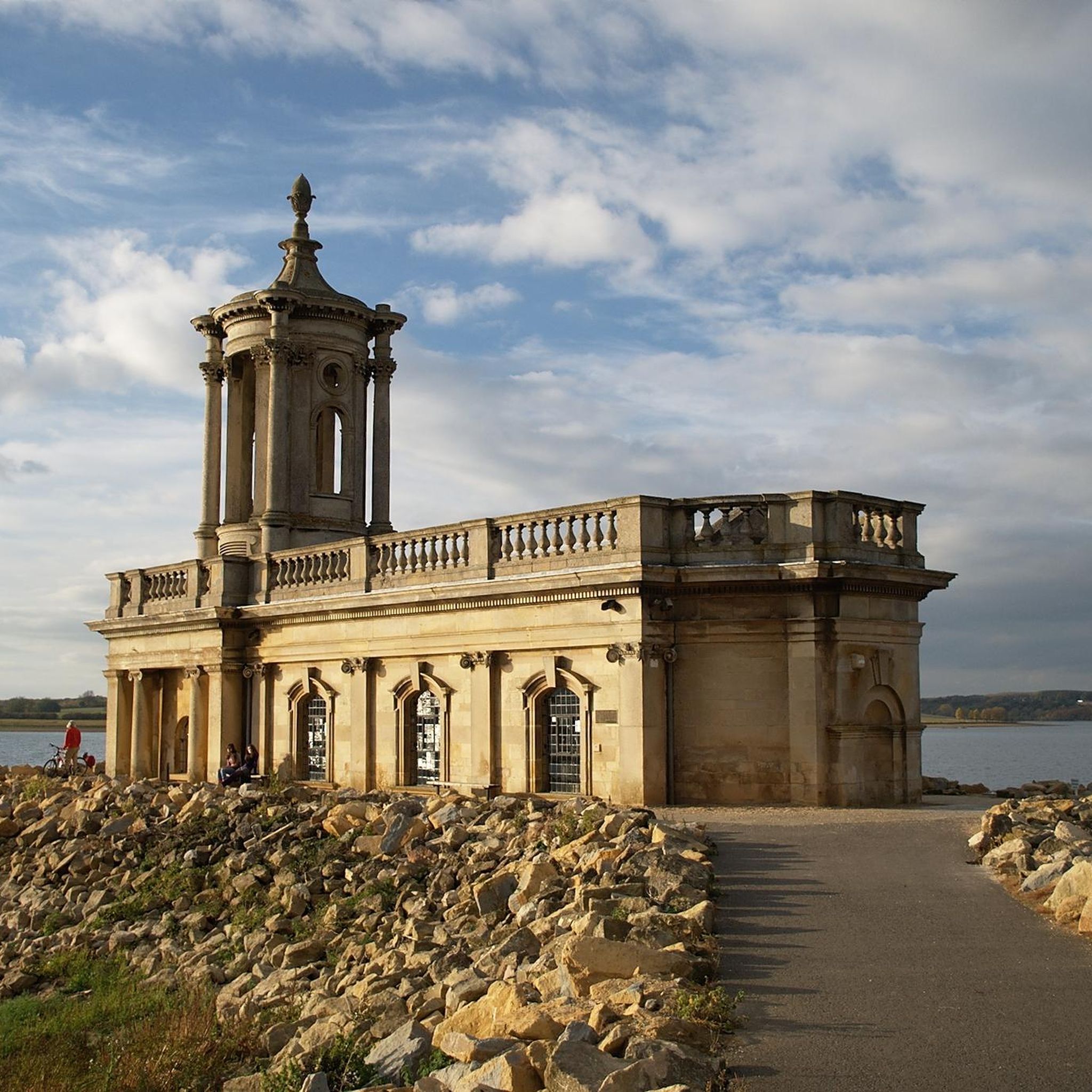
Yes, you can get great views of the historic Normanton Church from the trails on the south shore. A walk starting from the Normanton car park will take you along the path with the church as a central feature of your view across the water.
Are there any challenging, long-distance hikes available?
For those seeking a difficult, long-distance challenge beyond the main perimeter, the Rutland Water Marathon – Rutland Water loop from Oakham offers a 26.2-mile (42.2 km) route. This demanding hike combines sections of the reservoir path with trails through the surrounding countryside and the town of Oakham.
What is a good family-friendly walk at Rutland Water?
A great option for a family outing is the Oak Tree by Rutland Water – View of Rutland Water loop from Whitwell. It's an easy 4.3-mile (7 km) route with minimal elevation, offering beautiful water views and plenty of open space.
Where can I find a good pub for a meal after a hike?
The villages around Rutland Water have several traditional pubs. The Horse & Jockey in Manton and The Wheatsheaf in Edith Weston are popular choices among walkers for a post-hike meal or drink. Both are located just a short distance from the main reservoir paths.
Where is the best place to park for a walk?
There are several large car parks situated around the reservoir, including at Sykes Lane, Normanton, and Whitwell. The best one to choose depends on which section of the reservoir you plan to walk. All main car parks provide good access to the perimeter trail.
Most popular routes around Rutland Water
Most popular attractions around Rutland Water

Get inspired with the komoot mobile app


Explore more
Browse the best Hikes in other regions.
