The best walks and hikes around Hoveton Great Broad
4.7
(518)
2,827
hikers
190
hikes
Walks near Wroxham and Hoveton explore the flat landscape of the Norfolk Broads, a region defined by its network of rivers and broads. The area is characterized by wet woodlands, riverside paths, and open fenland. Hikes here generally feature minimal elevation change, making them accessible for a wide range of fitness levels.
Best hiking trails around Hoveton Great Broad
- The most popular hiking route is Hiking loop from Hoveton, a 2.7 mile (4.4 km) trail that takes about 1…
Last updated: August 18, 2026
5.0
(1)
17
hikers
4.43km
01:08
20m
20m
Easy hike. Great for any fitness level. Easily-accessible paths. Suitable for all skill levels.
4.5
(4)
21
hikers
10.2km
02:37
40m
40m
Moderate hike. Good fitness required. Easily-accessible paths. Suitable for all skill levels.

Sign up for free
5.0
(4)
9
hikers
17.3km
04:27
80m
80m
Moderate hike. Good fitness required. Easily-accessible paths. Suitable for all skill levels.
4.5
(2)
11
hikers
10.7km
02:45
50m
50m
Moderate hike. Good fitness required. Easily-accessible paths. Suitable for all skill levels.
5.0
(2)
8
hikers
Moderate hike. Good fitness required. Easily-accessible paths. Suitable for all skill levels.
Get access to more routes and recommendations from other explorers.
Sign up for free
Already have an account?
Our route recommendations are based on thousands of hikes, rides, and runs completed by other people on komoot.
Start today with a free account
Your next adventure awaits.
Login or Signup



Tips from the Community

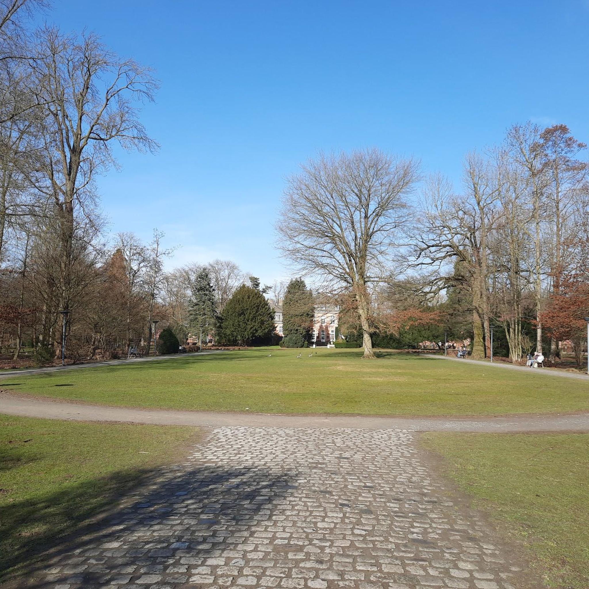
Beautiful spot on the river, with lots of people fishing and enjoying the grassland, with nearby pubs.
0
0
A scenic and peaceful footpath tracing the Bure Valley narrow railway line.
0
0

Coltishall Station is one of the narrow gauge stations on the Bure Valley Railway line. It's also an access point for the nine mile (14.5 km) Bure Valley Path.
0
0
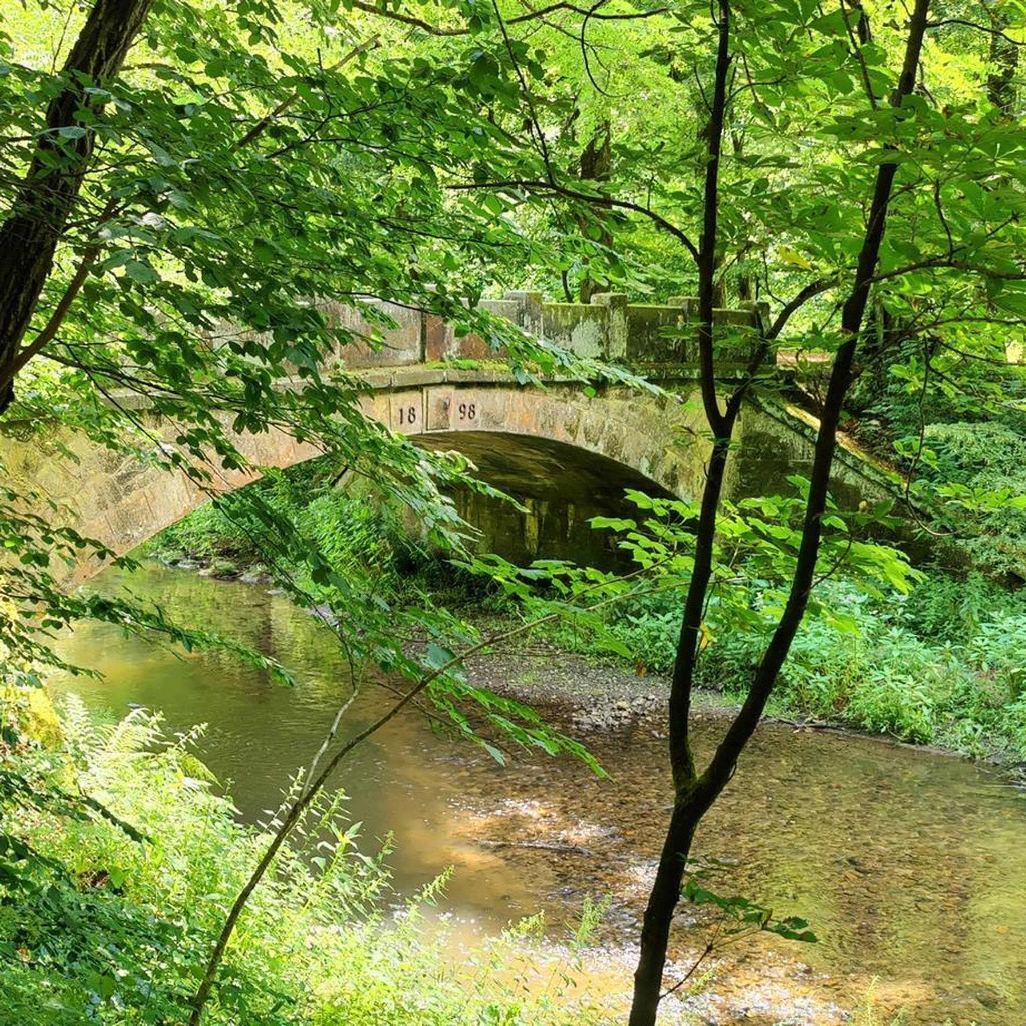
The River Bure is a navigable river which flows into Breydon Water in Great Yarmouth. Coltishall bridge about 10 miles inland is the head of navigation, the furthest larger boats can get.
0
0

Using the power of moving water to drive a mill wheel is an ancient invention of the human spirit of discovery, the origins of which can be traced back to times long past. Thanks to such a construction, a watercourse - natural or artificial - could simply replace human or animal muscle power with the power of the natural elements, for example to grind grain into corn or to press oil from fruit. There are essentially two different ways of driving watermills: * Either the flowing water simply hits the blades of the water wheel from below to set it in motion; or * the water is guided - usually through a so-called "mill channel" - above the wheel and falls onto the blades; this type of construction is more efficient due to natural gravity.
1
0

One of the major stations and exits to towns along the Bure Valley path, with the paths along this stretch being compacted gravel
0
0

Good place to stop for a coffee and to refuel! Toilets here as well.
0
0

Really nice and easy path that follows the entire Bure Valley Railway line between Aylsham and Wroxham. You can take the train one way and walk the other and there are some great points to turn off and explore especially around the Oxnead area where you can follow the river and rejoin the path later on.
0
0
Frequently Asked Questions
How do I get to the Hoveton Great Broad Nature Trail?
The Hoveton Great Broad Nature Trail is uniquely accessible only by water. You can take the seasonal passenger ferry which runs from Salhouse Broad between May and October. If you are arriving by private boat on the River Bure, free moorings are available near the trail entrance.
Are dogs allowed on the walks around Hoveton Great Broad?
Due to the sensitive wildlife and protected status of the area, dogs are not permitted on the Hoveton Great Broad Nature Trail itself, with the exception of assistance dogs. For dog-friendly walks in the wider area, consider exploring the public footpaths along the Bure Valley.
What are some good circular walks in the Hoveton area?
The region offers several excellent circular routes. For a longer walk that includes a stop at a popular local pub, the Bure Valley Path – The Rising Sun Pub, Coltishall loop from Hoveton is a great option. It follows the River Bure and provides a wonderful tour of the valley.
Are there any easy, family-friendly walks available?
Yes, the area is well-suited for family outings. The Hoveton Great Broad Nature Trail is a gentle walk that takes about 30 to 60 minutes. For a slightly longer but still accessible option starting from the village, the Hiking loop from Hoveton is an easy trail that offers a good introduction to the local landscape.
Can I start a walk directly from the Hoveton and Wroxham train station?
Yes, the station is a convenient starting point for several hikes. You can embark on the Bure Valley Path – The Rising Sun Pub, Coltishall loop from Hoveton and Wroxham, which takes you along the scenic river valley. This makes it easy to explore the Broads using public transport.
What kind of wildlife can I expect to see?
The area is a sanctuary for diverse wildlife. While walking, especially on the nature trail, keep an eye out for birds like herons, egrets, and kingfishers. The wetlands are also home to rare species such as the swallowtail butterfly, Norfolk hawker dragonfly, and otters.
Are there any longer, more challenging hikes available?
While the terrain is mostly flat, you can find longer routes for a full day of hiking. The Horstead Mill – River Bure at Coltishall loop from Wroxham is a substantial 10.7-mile (17.3 km) trail that explores the beautiful Bure Valley landscape and passes the historic Horstead Mill.
What do other hikers enjoy most about the Hoveton Great Broad area?
The area is highly rated by the komoot community. Reviewers frequently praise the serene, peaceful atmosphere of the trails, the unique experience of walking through the wet woodlands, and the abundance of wildlife. The well-maintained paths, particularly the boardwalks, are also a common highlight.
Are the trails suitable for wheelchairs or pushchairs?
The Hoveton Great Broad Nature Trail is constructed from railway sleepers, making its narrow and uneven surface unsuitable for wheelchair users or pushchairs. However, the nearby Barton Broad Boardwalk is a well-regarded, accessible boardwalk that offers a fantastic alternative for experiencing the Broads landscape.
Where can I find a good pub on a walking route?
Several walks incorporate stops at traditional pubs. The route to Coltishall is particularly popular for this, as it passes The Rising Sun pub. For a longer day out, the Bure Valley Path – Buxton Mill on the River Bure loop from Hoveton and Wroxham offers an extended journey with opportunities to stop in villages along the way.
How many hiking trails are there around Hoveton Great Broad?
There is a wide variety of trails to explore, with over 190 routes mapped on komoot in the surrounding area. These range from short, easy strolls to longer, moderate hikes, ensuring there is a path for every fitness level.
What are some popular places for hiking near Hoveton Great Broad?
Besides the main trails, there are several popular nature spots favored by walkers:
- Barton Broad Boardwalk: A highly-regarded accessible boardwalk offering stunning views over the broad.
- Horstead Mill: A beautiful and historic spot on the River Bure that serves as a focal point for several scenic walks.
- How Hill National Nature Reserve: A local favorite offering gardens, historic buildings, and walking paths through the classic Broads landscape.
Most popular routes around Hoveton Great Broad

Get inspired with the komoot mobile app


Explore more
Browse the best Hikes in other regions.
