The best road cycling routes around Makaha
24
riders
5
rides
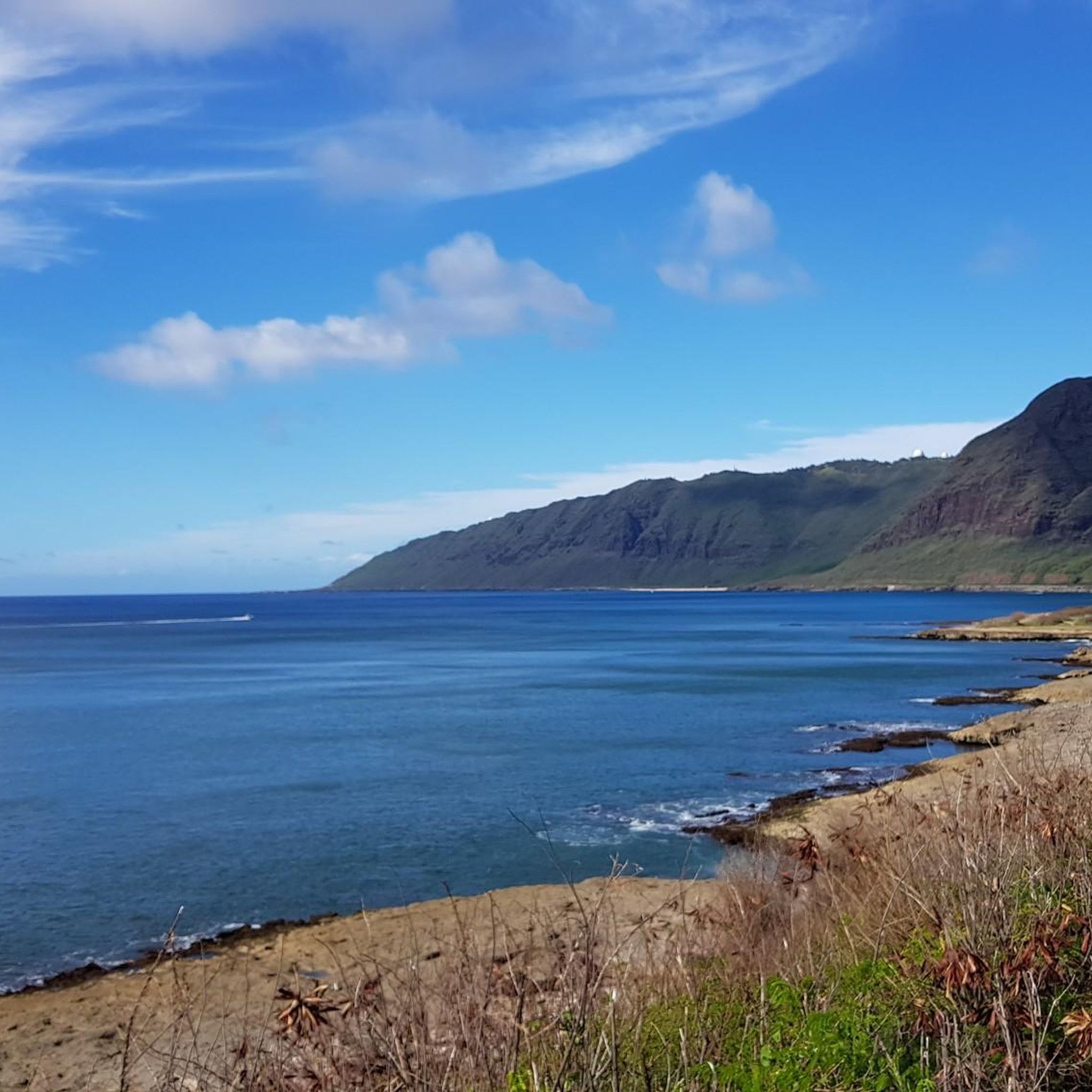
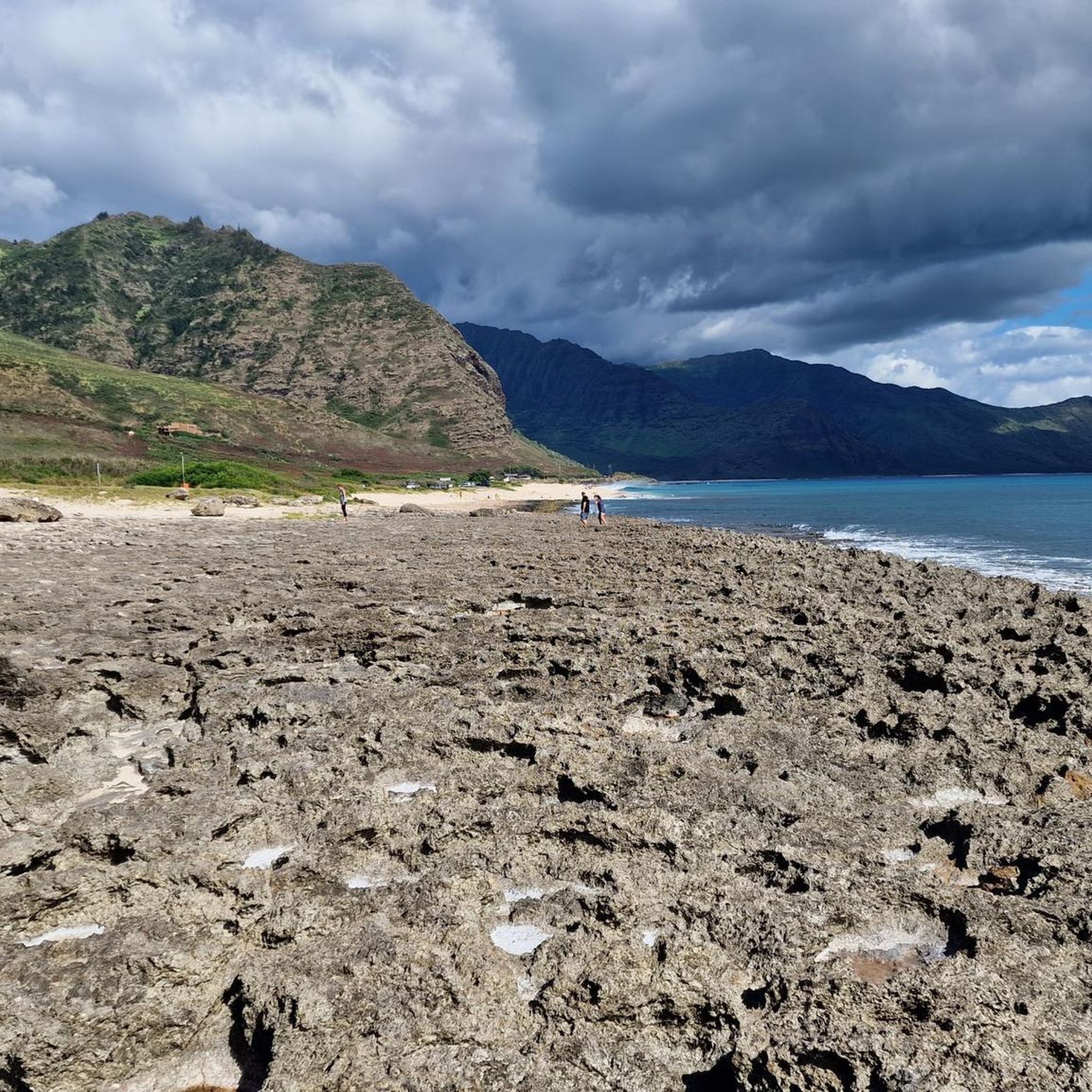
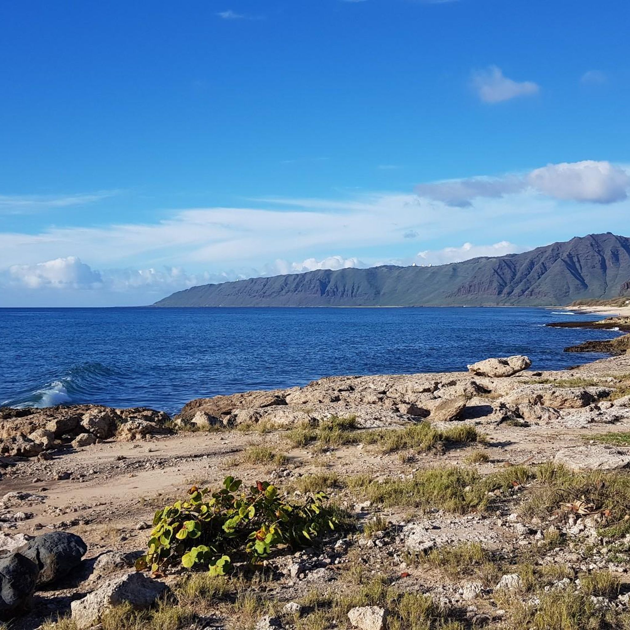
Road cycling around Makaha, located on the leeward coast of Oahu, Hawaii, offers diverse terrain for cyclists. The region features scenic coastal stretches, lush valleys, and towering cliffs, providing varied cycling experiences. Routes often follow the shoreline, offering views of the Pacific Ocean, while inland paths venture into areas with elevation changes. This environment supports both leisurely rides and more challenging routes with significant climbs.
Best road cycling routes around Makaha
- The most popular road cycling route is Farrington Highway…
Last updated: July 9, 2026
24
riders
28.8km
01:10
160m
160m
Easy road ride. Great for any fitness level. Mostly well-paved surfaces and easy to ride.
34.5km
01:43
330m
330m
Moderate road ride. Good fitness required. Mostly well-paved surfaces and easy to ride.

Sign up for free
19.1km
02:04
350m
350m
Moderate road ride. Good fitness required. Mostly well-paved surfaces and easy to ride.
20.6km
01:33
690m
690m
Moderate road ride. Good fitness required. Mostly well-paved surfaces and easy to ride.
25.9km
01:44
620m
620m
Moderate road ride. Good fitness required. Mostly well-paved surfaces and easy to ride.
Our route recommendations are based on thousands of hikes, rides, and runs completed by other people on komoot.
Start today with a free account
Your next adventure awaits.
Login or Signup
Popular around Makaha
Tips from the Community

This heiau (temple), built in the 17th Century, was dedicated to Lono, the benevolent god of harvest and fertility. The grass and thatched huts were used as prayer and meditation chambers. This entire site has been completely restored to be historically correct. This center is open 10-2 everyday except Monday (closed).
0
0
This road travels through very thick forest right at the foot of Pu'ukawiwi mountain. The Wai'anae Kai Forest Reserve delivers a diverse opportunity for recreational hunting which include two ungulate species (feral pig and goat).
0
0
From the road you can see the "Pink Pillbox" station on the ridge above. These stations were used as observation buildings in 1943. Although pillboxes are usually armed with weapons and used as defensive stations, these concrete platforms held observing instruments, which were used to determine the position of other boats.
0
0
Enjoy expansive views from the highest point you can climb, without a military ID. If you continue on entering Schofield Barracks and Post Amenities, guards will conduct a 100% ID check at all gates. All visitors must have a valid military ID or proceed to the visitor control center for a pass.
0
0
This is a narrow paved road heading up into the Waianae Kai Forest Reserve. The traffic you'll encounter will be hikers heading up to the trail.
0
0
The road ends here, but a trail continues on for quite a bit. Just off of the road (maybe 150 feet on the left) is a hole in the rocks that is shaped like a heart from the right angle.
0
0
This heiau (temple), built in the 17th Century, was dedicated to Lono, the benevolent god of harvest and fertility. The grass and thatched huts were used as prayer and meditation chambers. This entire site has been completely restored to be historically correct. This center is open 10-2 everyday except Monday (closed).
0
0
There is a small road that continues up into the canyon before turning to forest and continuing on. If you have a MTB or gravel bike, you can ride the forest road, otherwise this is a great place to turn around and enjoy the descent back into town!
0
0
Frequently Asked Questions
How many road cycling routes are available in Makaha?
Makaha offers a selection of 5 road cycling routes, catering to various skill levels. These routes provide diverse experiences, from coastal rides to more challenging inland climbs.
What kind of terrain can I expect when road cycling in Makaha?
Road cycling in Makaha features a mix of coastal paths and routes winding through lush valleys. You'll encounter stunning ocean views along the leeward coast, with some inland routes offering significant elevation changes and views of towering cliffs, characteristic of the Makaha Valley.
Are there challenging road cycling routes in Makaha?
Yes, Makaha offers routes with substantial elevation gain for experienced cyclists. For instance, the Waianae Valley Road route features over 680 meters of ascent, providing a demanding ride through the valley. Another challenging option is Kuilioloa Heiau to Kolekole Pass, with over 620 meters of climbing.
Are there any easy or beginner-friendly road cycling routes in Makaha?
Absolutely. The Farrington Highway to Kaʻena Point State Park route is an easy 17.9-mile ride, offering beautiful coastal views without significant climbs, making it ideal for beginners or those seeking a relaxed ride.
What are some scenic viewpoints or landmarks I can see along Makaha's road cycling routes?
Makaha's routes offer numerous scenic spots. You can cycle past the legendary Makaha Beach Park, known for its surf, and enjoy views of the deep blue Pacific. Further north, Yokohama Bay provides a tranquil setting for sunsets. Inland, you might encounter the ancient Kaneana Cave, a culturally significant geological site, or the historic Kaneaki Heiau.
Are there any loop road cycling routes in Makaha?
Yes, loop routes are available for road cyclists in Makaha. The Kolekole Pass Loop is a popular moderate 21.4-mile option that takes you through the valley with varied terrain. Another local favorite is the Waianae to Kaneaki Heiau loop, an 11.9-mile trail through the Waianae Valley.
What is the best time of year to go road cycling in Makaha?
Makaha, being on Oahu's leeward coast, generally experiences sunny and dry weather year-round, making it suitable for road cycling almost any time. However, the cooler, drier months from November to April might be slightly more comfortable, avoiding the peak heat and humidity of summer.
Is there public transport access for road cyclists in Makaha?
While specific public transport options for cyclists with bikes can be limited, TheBus (Oahu's public transit system) has bike racks on the front of buses. It's advisable to check their policies and routes in advance to plan your access to Makaha's cycling areas. For more detailed information on cycling infrastructure, you can consult the Hawaii Department of Transportation's bike map.
Where can I find parking when road cycling in Makaha?
Parking is generally available at various beach parks along the coast, such as Makaha Beach Park, which can serve as convenient starting points for coastal rides. For routes venturing inland, look for designated parking areas near trailheads or community centers, though these may be less frequent.
Are there any family-friendly road cycling options in Makaha?
For families, the easier coastal sections, particularly those with wider shoulders or designated bike lanes, would be most suitable. The Farrington Highway to Kaʻena Point State Park route, with its easy difficulty and scenic views, could be a good option for families looking for a less strenuous ride.
What should I wear for road cycling in Makaha's climate?
Given Makaha's warm, tropical climate, lightweight, breathable cycling apparel is recommended. Sun protection is crucial, so consider wearing sunscreen, sunglasses, and a cycling cap or helmet with good ventilation. Hydration is also key, so bring plenty of water.
Are there places to stop for coffee or food near Makaha's cycling routes?
Along the main roads and near Makaha Beach Park, you'll find local eateries and small shops where you can refuel. While not as abundant as in more urban areas, there are options to grab a coffee or a meal, especially closer to the residential and commercial areas of Makaha and Waianae.
Most popular routes around Makaha
Most popular attractions around Makaha

Get inspired with the komoot mobile app


Explore more
Browse the best Road cycling routes in other regions.
