The best walks and hikes around Killington Reservoir
4.6
(567)
5,284
hikers
299
hikes
Hiking around Killington Reservoir provides access to a network of trails in the South Lakeland area of Cumbria, England. The landscape is defined by the expansive body of water, offering continuous views across the reservoir and towards distant fells and Cumbrian hills. The surrounding terrain features gentle hills and open pastures, creating an accessible environment for walking. Burns Beck Moss Nature Reserve, a 47-acre Site of Special Scientific Interest, is located on the western shore.
Best hiking trails around Killington Reservoir
- The most popular hiking route is Killington Reservoir loop from Killington, a 4.2 miles (6.8 km) trail that takes 1 hour 49 minutes to complete. This route offers continuous views of the water and surrounding countryside.
- Another top favourite among local hikers is Lambrigg Fell – Lambrigg Fell Summit loop from Lambrigg, an easy 4.1 miles (6.6 km) path. It features gentle ascents through open fields and offers views of the surrounding fells.
- Local hikers also love the Lambrigg Fell – Lambrigg Fell Summit loop from Lambrigg Fell, a 5.1 miles (8.1 km) trail leading through rolling hills and open moorland, often completed in about 2 hours 20 minutes.
- Hiking around Killington Reservoir is defined by open pastures, gentle hills, and the expansive reservoir itself, including the Burns Beck Moss Nature Reserve. The network offers options for different ability levels, including many family-friendly hikes.
- The routes in Killington Reservoir are highly rated by the komoot community with an average score of 4.6 stars from over 500 reviews. More than 4000 hikers have used komoot to explore Killington Reservoir's varied terrain.
Last updated: July 9, 2026
3
hikers
6.83km
01:49
70m
70m
Easy hike. Great for any fitness level. Easily-accessible paths. Suitable for all skill levels.
5.0
(1)
4
hikers
8.14km
02:21
200m
200m
Moderate hike. Good fitness required. Easily-accessible paths. Suitable for all skill levels.

Sign up for free
5
hikers
28.6km
07:56
510m
510m
Hard hike. Very good fitness required. Easily-accessible paths. Suitable for all skill levels.
5.0
(1)
5
hikers
6.56km
01:54
170m
170m
Easy hike. Great for any fitness level. Easily-accessible paths. Suitable for all skill levels.
4.0
(1)
10
hikers
25.1km
07:03
490m
490m
Hard hike. Very good fitness required. Easily-accessible paths. Suitable for all skill levels.
Get access to more routes and recommendations from other explorers.
Sign up for free
Already have an account?
Our route recommendations are based on thousands of hikes, rides, and runs completed by other people on komoot.
Start today with a free account
Your next adventure awaits.
Login or Signup

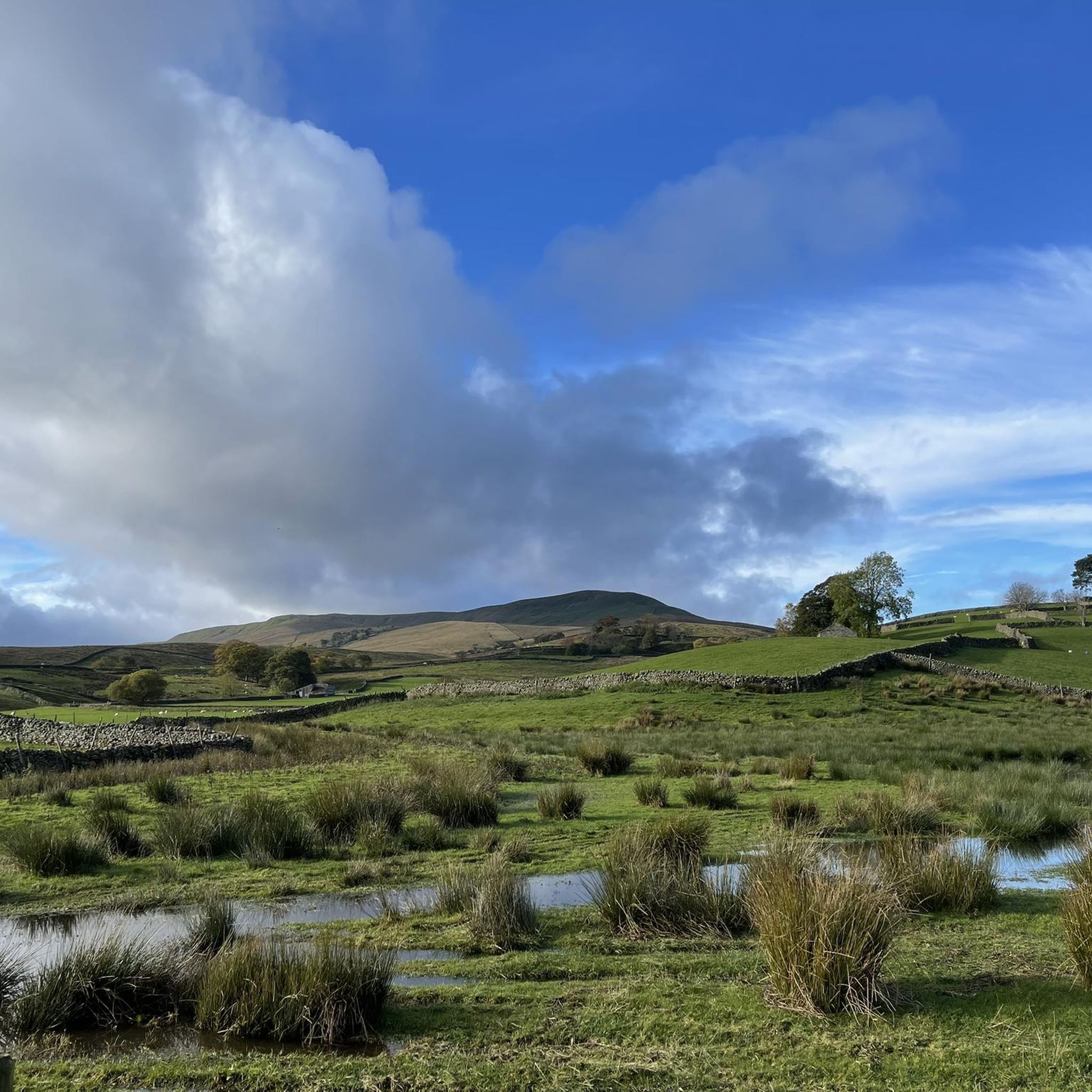
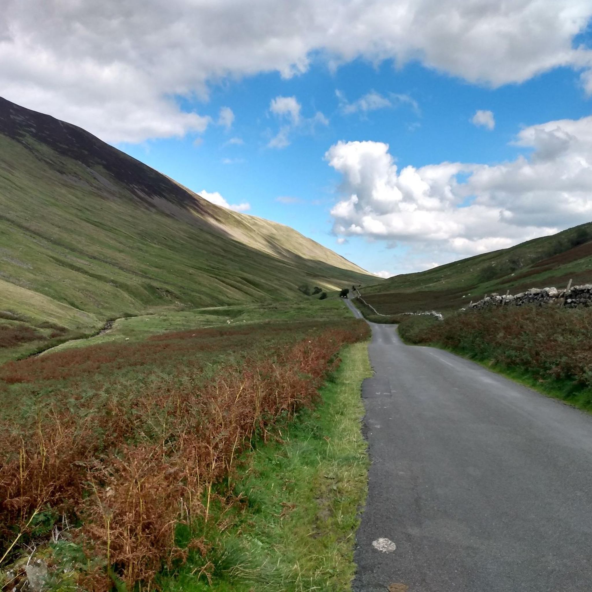
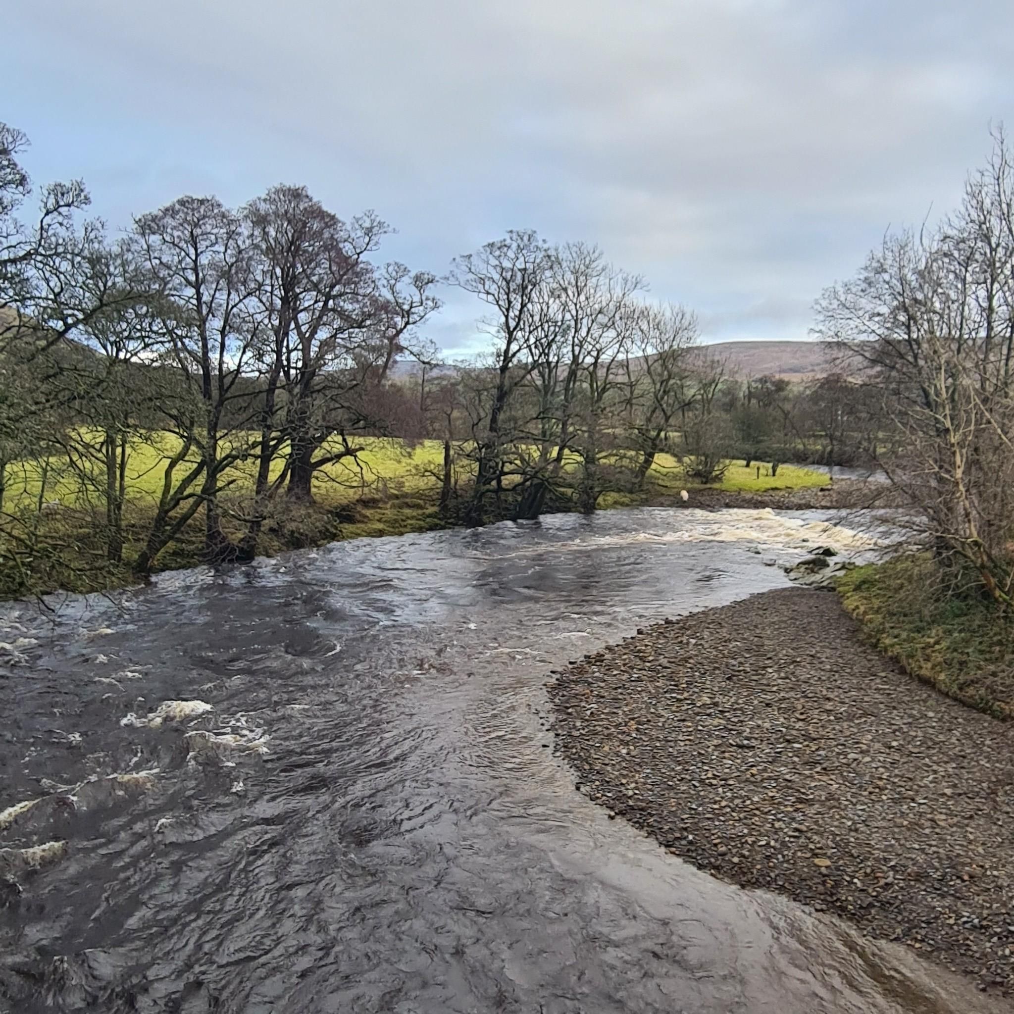
Tips from the Community


This is a beautiful viaduct, I wish I had seen it on a better blue sky day, it would make a great photo stop. Very impressive.
0
0

Another Dales Way Gem. You can camp here by contacting the owners but more trail magic with honesty box refreshments drinks and flapjack! Bring change. https://www.dalesway.org/accommodation.htm#campsites
0
0

Lambrigg Fell West Top 318.09m P15.1 (1043ft) (Hill ID: 508999) [JNSA s8959] County of Westmorland Definitive List summit.
0
0
Lambrigg Fell (old GR) 338m P11 (1109ft) [Clem] (DoBIH Hill ID: 2666) [JNSA s8030] County of Westmorland Definitive List summit.
0
0
Frequently Asked Questions
How many hiking trails are available around Killington Reservoir?
There are over 300 hiking routes around Killington Reservoir, offering a wide range of experiences. More than 150 of these are classified as easy, making the area very accessible for various fitness levels.
Are there easy or beginner-friendly hikes at Killington Reservoir?
Yes, Killington Reservoir is well-suited for beginners and those looking for easy walks. Over half of the routes, more than 150, are rated as easy. These often feature gentle terrain around the reservoir's perimeter or through open pastures.
Can I find circular walks around Killington Reservoir?
Absolutely. Many routes around Killington Reservoir are circular, allowing you to start and finish in the same location. A popular option is the Killington Reservoir Circular Walk, which is 4.0 miles (6.5 km) long and offers continuous views of the water and surrounding countryside.
Are the hiking trails around Killington Reservoir suitable for families with children?
Yes, Killington Reservoir is known for its family-friendly hiking options. The gentle hills and accessible paths make it ideal for walks with children. Many routes are designed to be shorter and less strenuous, perfect for a family outing.
Are dogs allowed on the trails around Killington Reservoir?
Generally, dogs are welcome on the trails around Killington Reservoir. However, as much of the area involves open pastures and farmland, it's important to keep dogs under control, especially near livestock, and to clean up after them. Always check local signage for any specific restrictions.
What is the best time of year to go hiking at Killington Reservoir?
The best time to hike around Killington Reservoir is typically from spring through autumn (April to October). During these months, the weather is generally milder, and the paths are less likely to be muddy. Summer offers longer daylight hours, while spring and autumn provide beautiful seasonal colours.
Are there any quiet or less crowded hiking options at Killington Reservoir?
While popular, Killington Reservoir offers many trails that allow for a quieter experience, especially away from the main car parks. Exploring routes that venture slightly further into the surrounding gentle hills and woodlands, such as the Killington Viewpoint Loop, can provide more solitude.
What kind of views can I expect on the hikes around Killington Reservoir?
Hikers can expect expansive views across the large body of water, with the gentle hills and open pastures of the South Lakeland area forming the backdrop. Many trails follow the reservoir's perimeter, offering continuous scenic vistas. The Killington Viewpoint Loop specifically leads to elevated spots for broader panoramas.
Is there parking available for hikers at Killington Reservoir?
Yes, there are several parking areas around Killington Reservoir, particularly near popular access points. These are generally well-signposted. It's advisable to arrive earlier during peak seasons to secure a spot.
Are there any facilities or cafes near the hiking trails?
While the immediate reservoir area is primarily natural, there are usually facilities and cafes available in nearby villages and towns. It's a good idea to check for specific amenities in places like Sedbergh or Kirkby Lonsdale before or after your hike.
What do other hikers enjoy most about hiking at Killington Reservoir?
The area is highly rated by the komoot community, with an average score of 4.6 stars from over 500 reviews. Reviewers often praise the accessible nature of the trails, the continuous scenic views across the water, and the peaceful atmosphere of the open pastures and gentle hills.
Are there any longer or more challenging hikes available?
While many routes are easy, Killington Reservoir also offers options for longer excursions. There are 131 moderate routes and 16 difficult routes for those seeking a greater challenge, often involving more varied terrain and longer distances through the surrounding South Lakeland landscape.
Most popular routes around Killington Reservoir

Get inspired with the komoot mobile app


Explore more
Browse the best Hikes in other regions.
