The best road cycling routes around Dietlikon
4.4
(2147)
41,789
riders
11
rides
Road cycling routes around Dietlikon are set within the middle Glatt Valley in the canton of Zurich, Switzerland, providing a blend of natural landscapes and accessible paths. The region features the Glatt River and its valley, offering green spaces and natural areas. Cyclists can also find routes near the Hardwald forest, which includes hilly terrain. The area's diverse topography supports road cycling for various skill levels.
Best road cycling routes around Dietlikon
- The most popular road cycling route is Eigental…
Last updated: October 11, 2026
4.7
(3)
73
riders
39.6km
01:41
250m
250m
Moderate road ride. Great for any fitness level. Some segments of this route may be unpaved and difficult to ride.
5.0
(3)
63
riders
48.5km
02:01
300m
300m
Moderate road ride. Good fitness required. Mostly well-paved surfaces and easy to ride.

20
riders
24.4km
01:04
150m
150m
Easy road ride. Great for any fitness level. Mostly well-paved surfaces and easy to ride.
5
riders
108km
05:47
1,940m
1,940m
Hard road ride. Very good fitness required. Mostly well-paved surfaces and easy to ride.
14
riders
39.6km
01:48
390m
390m
Moderate road ride. Good fitness required. Mostly well-paved surfaces and easy to ride.
Get access to more routes and recommendations from other explorers.
Already have an account?
Our route recommendations are based on thousands of hikes, rides, and runs completed by other people on komoot.
Start today with a free account
Your next adventure awaits.
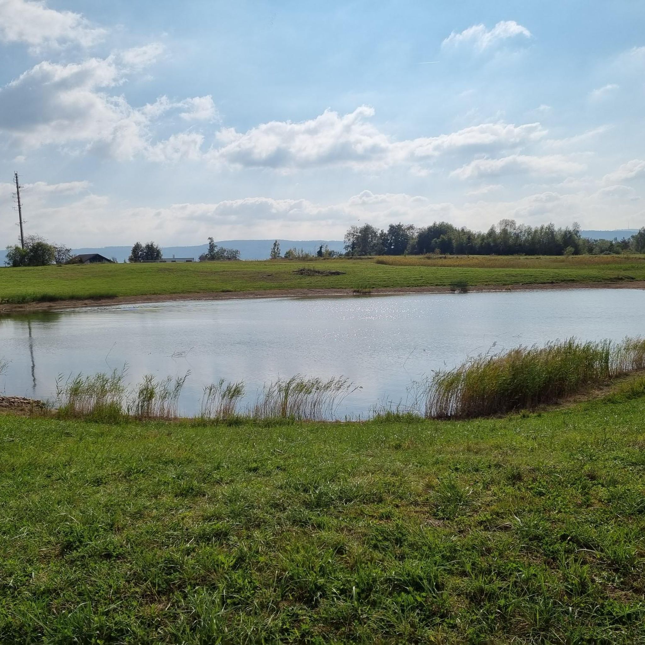
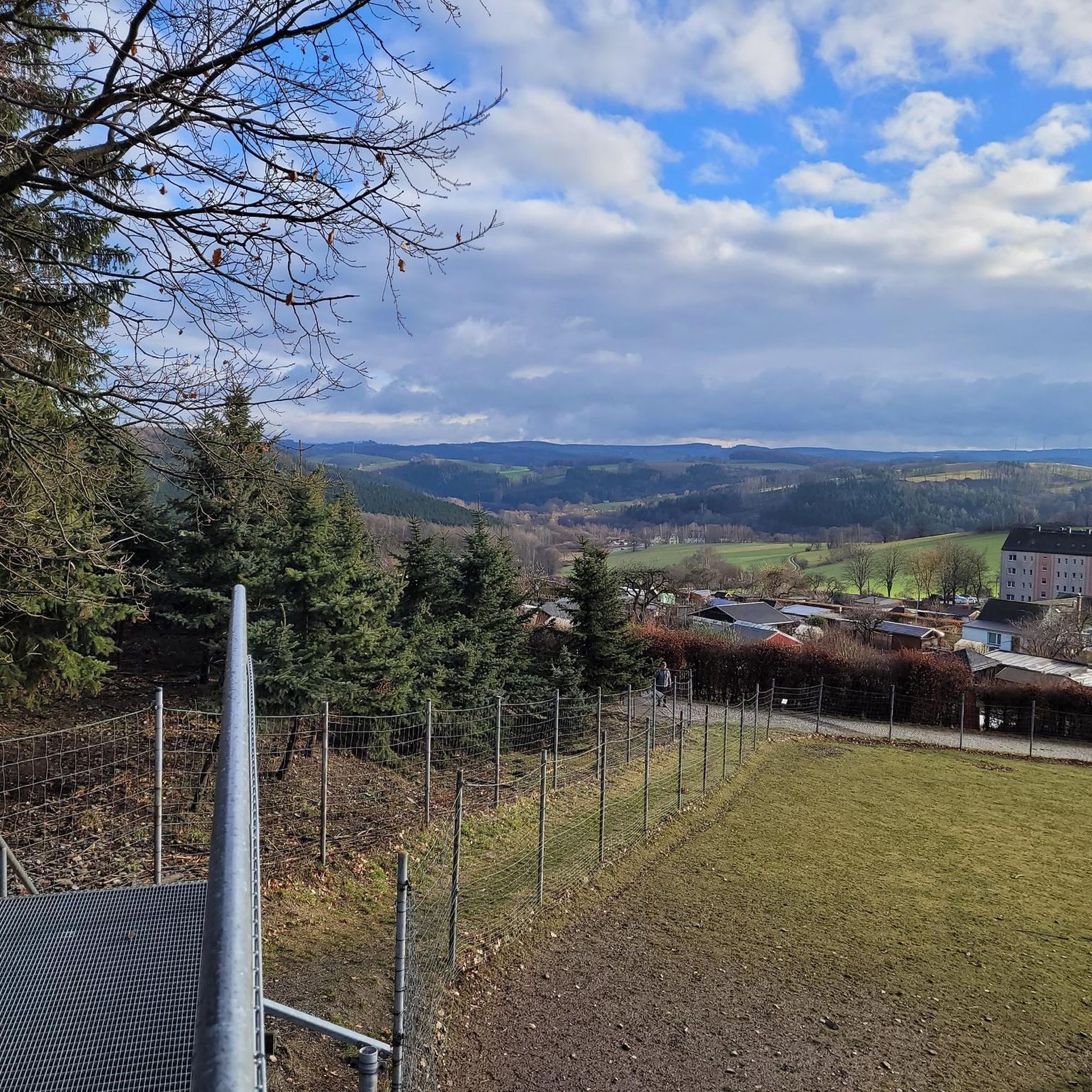
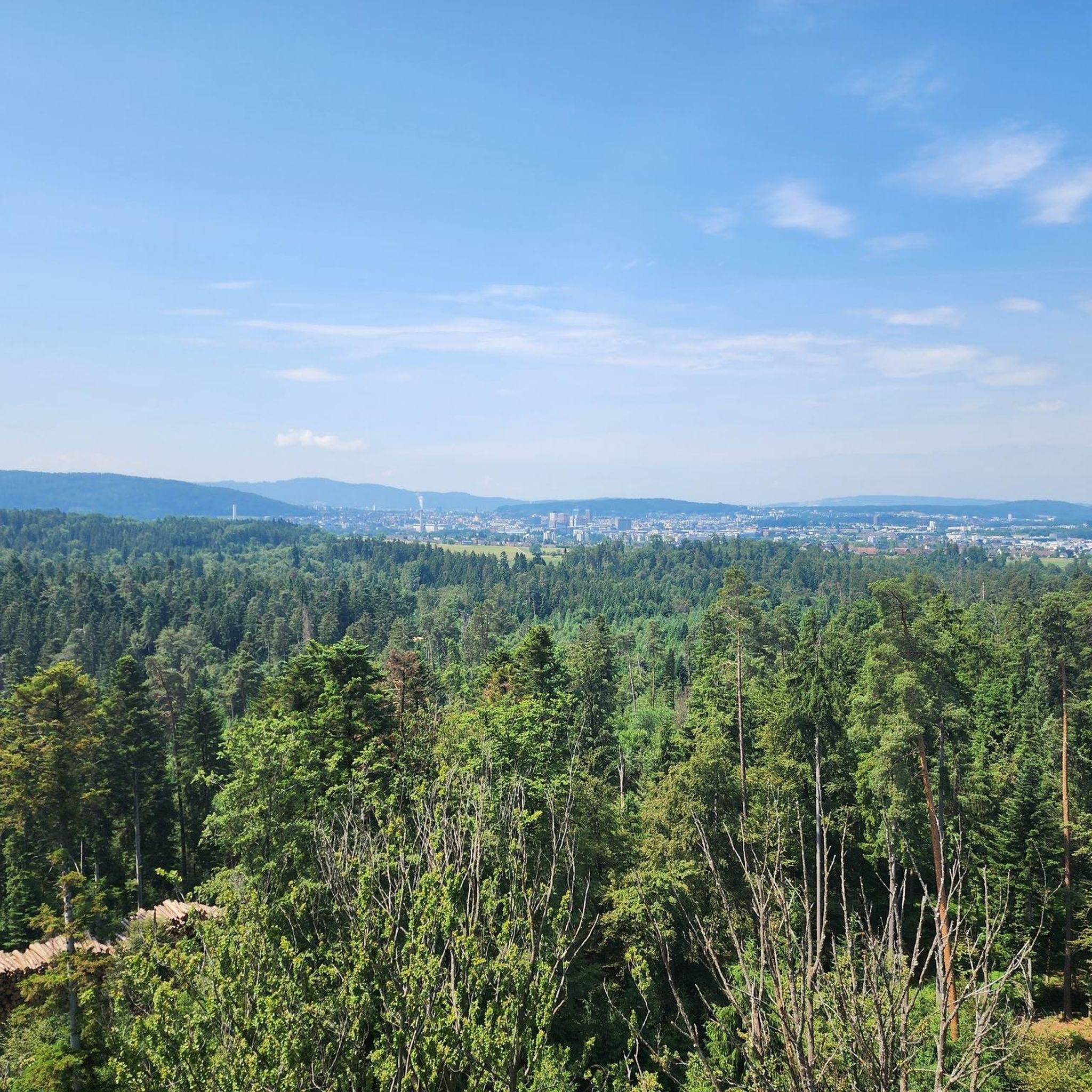
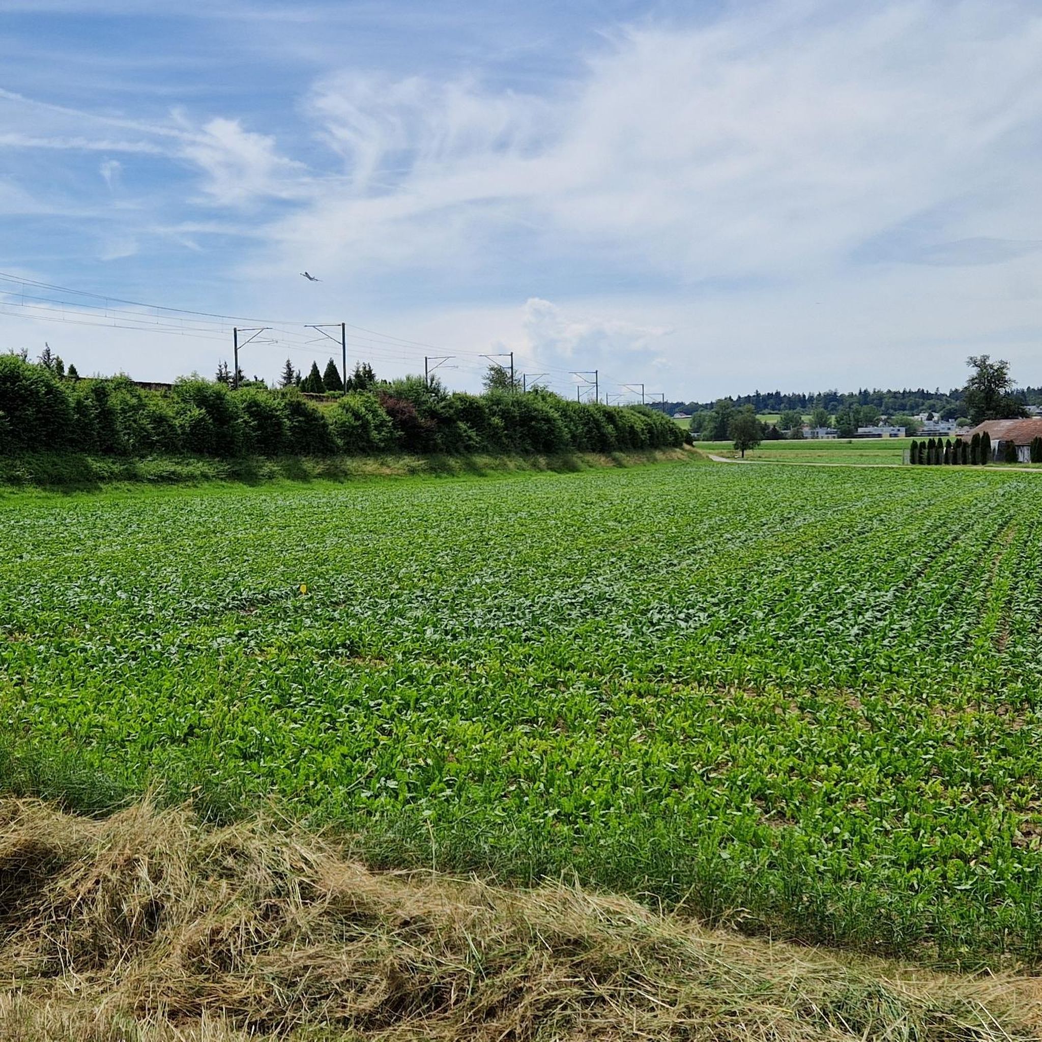
Tips from the Community

Beautiful view of Zurich Airport
0
0
Super nice trail, definitely ride it
0
0
Always interesting to look at
0
0
The perfect place to watch take-offs and landings
0
0
Very impressive and always cool
0
0

Frequently Asked Questions
How many road cycling routes are available around Dietlikon?
Dietlikon offers a diverse selection of road cycling routes. There are currently 11 routes available, catering to various skill levels.
What is the best time of year for road cycling in Dietlikon?
The prime season for road cycling in Dietlikon is typically during April and June, when the weather is generally favorable for exploring the region's diverse landscapes.
What kind of terrain can I expect on road cycling routes in Dietlikon?
Road cycling routes around Dietlikon feature a mix of terrain. You'll find paths through the picturesque Glatt Valley and along the Glatt River, offering green and idyllic scenery. Some routes also traverse the hilly terrain of the Hardwald forest. The majority of routes are on paved surfaces, though some may include short unpaved sections.
Are there road cycling routes suitable for beginners or families in Dietlikon?
Yes, Dietlikon offers routes suitable for various skill levels, including easy options. For example, the Clock Tower in Zurich – Tank Track loop from Dietlikon is an easy route, perfect for those looking for a less strenuous ride.
Are there any scenic viewpoints or landmarks along the road cycling routes in Dietlikon?
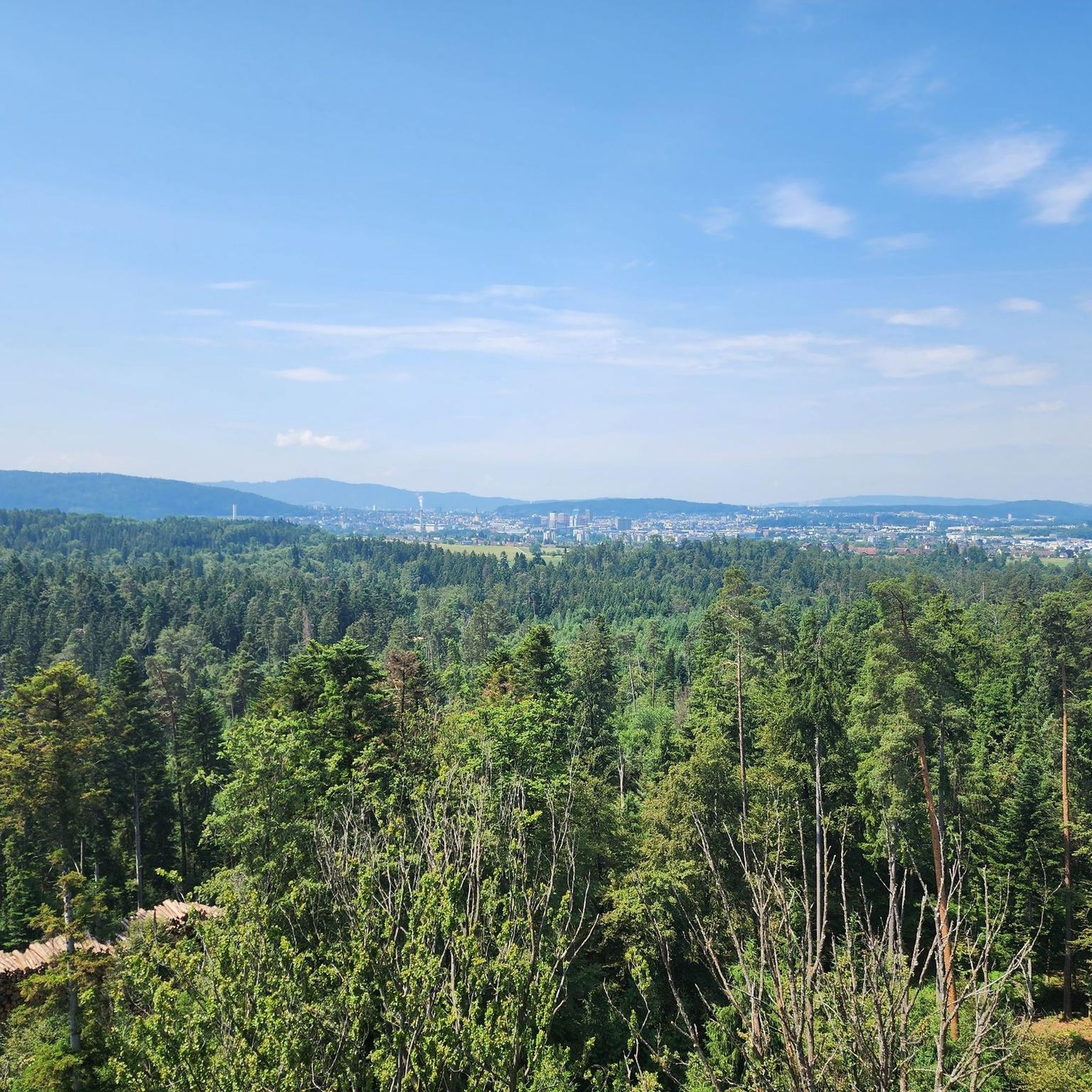
Absolutely. Many routes offer scenic views, particularly through the Glatt Valley. The Hardwald forest, located at the foot of Dietlikon, features the Hardwaldturm, a lookout tower offering breathtaking views of the surrounding area and even the Alps on clear days. While not directly on a road cycling route, it's a notable landmark nearby.
Can I find waterfalls near the road cycling routes in Dietlikon?
While not directly on the road cycling routes themselves, the wider region around Dietlikon features several beautiful waterfalls. You might consider exploring highlights such as the Küsnacht Gorge Waterfalls or the Wespi Mill and the Töss Waterfall for a different kind of natural beauty.
Are there longer, more challenging road cycling routes for experienced riders?
Yes, for experienced cyclists seeking a challenge, Dietlikon offers more demanding routes. The Ascent to Sternenberg – Sitzberg Village loop from Dietlikon is classified as a difficult route, covering over 100 km with significant elevation gain, ideal for very good fitness levels.
Are there circular road cycling routes available from Dietlikon?
Many of the road cycling routes starting from Dietlikon are designed as loops, allowing you to begin and end your ride in the same location. Examples include the Eigental Scenic Road – Tank Track loop from Dietlikon and the Lake Greifensee – Cycle path above Lake Greifensee loop from Dietlikon.
How can I access road cycling routes in Dietlikon using public transport?
Dietlikon is well-connected by public transport, making it accessible for cyclists. The Limmat Valley provides a direct connection between Zurich and Baden, and many routes are designed to be accessible from public transport hubs. It's advisable to check local public transport regulations regarding bicycle carriage during peak hours.
Is parking available for cyclists in Dietlikon?
Dietlikon, being a municipality with good infrastructure, generally offers parking options. For specific route starting points, it's recommended to check local parking availability, especially near train stations or public facilities, which often serve as convenient starting points for cycling tours.
What do other cyclists say about road cycling in Dietlikon?
The road cycling routes around Dietlikon are highly regarded by the komoot community, with an impressive average rating of 4.5 stars from over 1200 reviews. Cyclists often praise the varied terrain, the blend of natural and accessible paths, and the well-maintained surfaces that make for an enjoyable riding experience.
Are there any routes that offer views of Lake Greifensee?
Yes, you can enjoy beautiful views of Lake Greifensee on routes like the Lake Greifensee – Cycle path above Lake Greifensee loop from Dietlikon. This route specifically follows a cycle path above the lake, providing picturesque water views.
Most popular attractions around Dietlikon

Get inspired with the komoot mobile app


Explore more
Browse the best Road cycling routes in other regions.
