The best walks and hikes around Brothers Water
4.6
(10170)
90,082
hikers
519
hikes
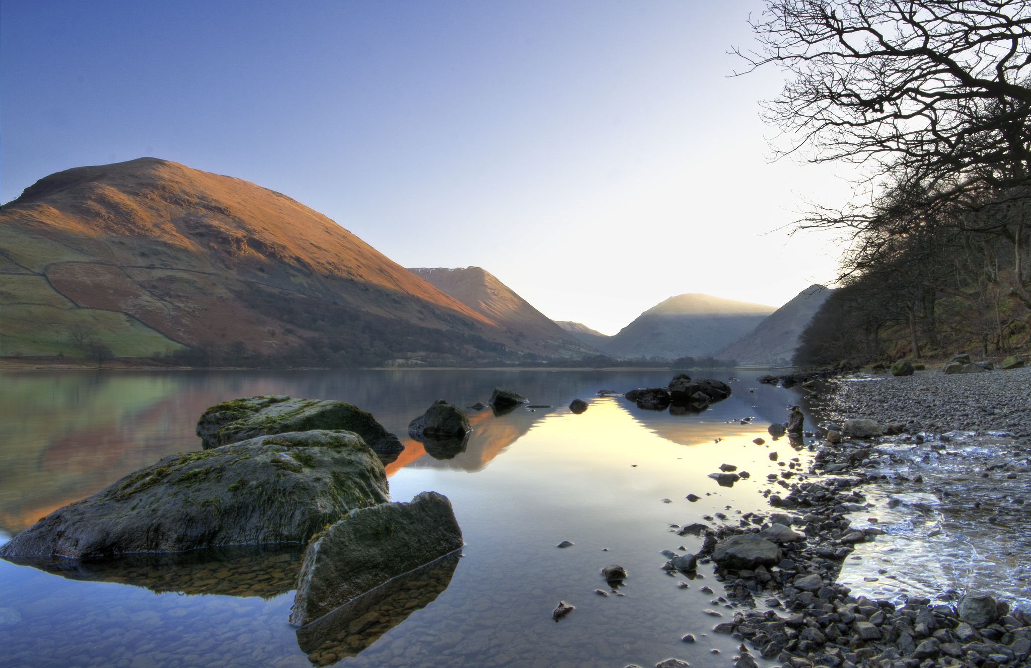
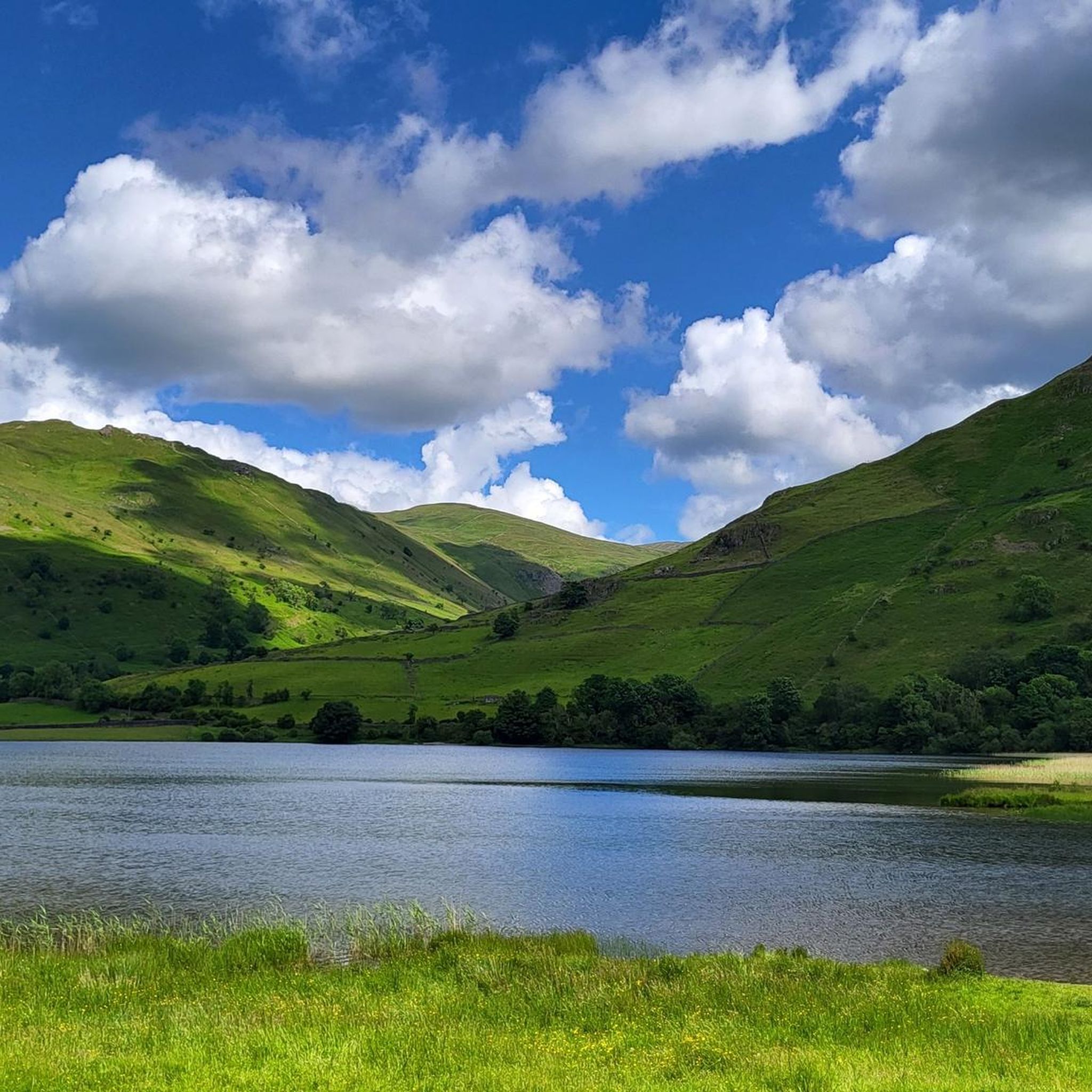
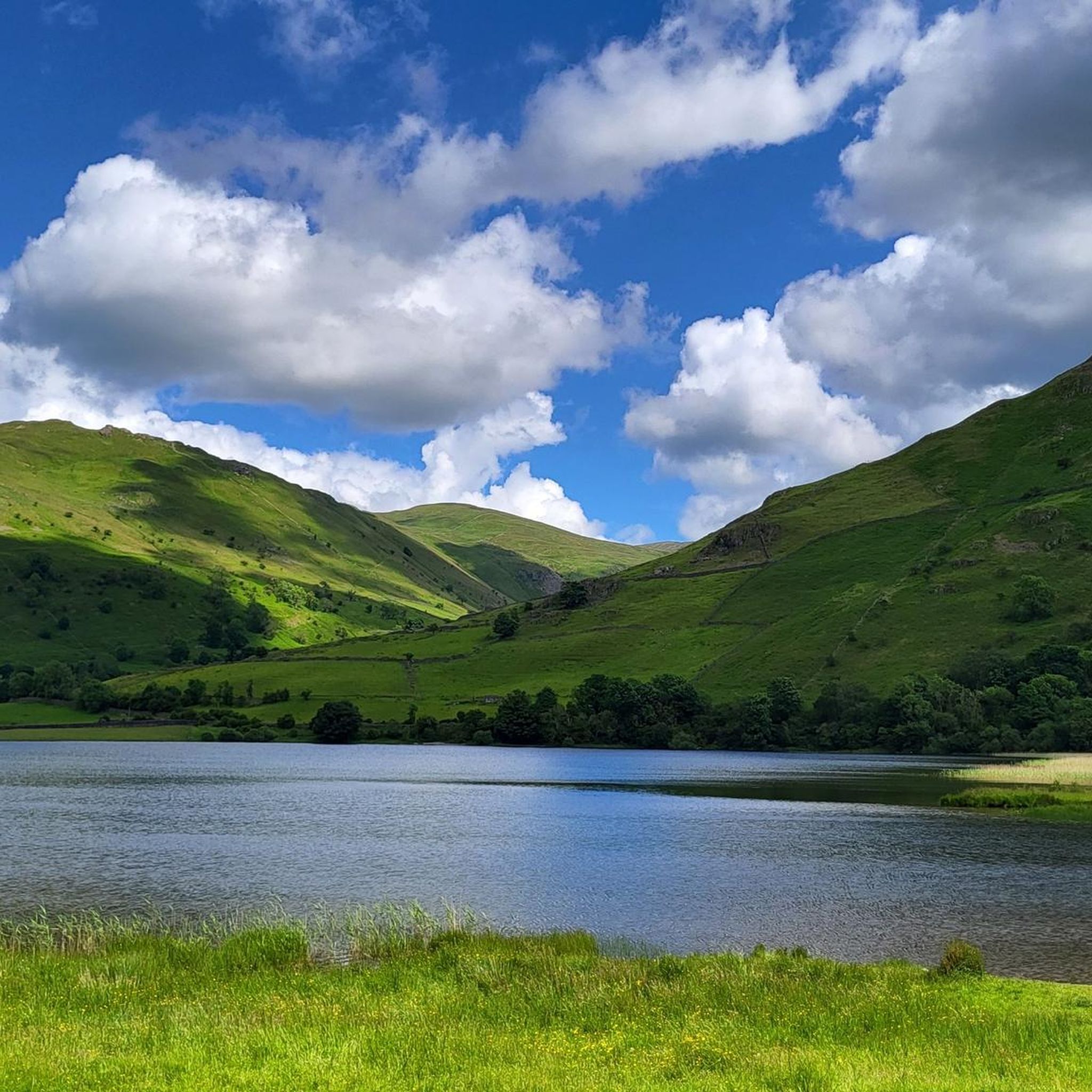
Hiking around Brothers Water offers trails through the scenic Lake District, characterized by its glacial lake, surrounding fells, and varied terrain. The area features a mix of lakeside paths, open moorland, and ascents to higher ground. This landscape provides diverse hiking experiences, from gentle strolls along the water's edge to more challenging climbs up the surrounding hills.
Best hiking trails around Brothers Water
- The most popular hiking route is Brothers Water loop from Cow Bridge — Lake District National Park, a 2.6 miles (4.1 km) trail that takes 1 hour 5 minutes to complete. This easy circular path offers views of the lake and surrounding fells.
- Another top favourite among local hikers is Brothers Water – Angle Tarn loop from Caudale Moor, a moderate 8.9 miles (14.4 km) path. This route includes significant elevation gain, leading to Angle Tarn with expansive views of the Lake District.
- Local hikers also love the Cairn on Hartsop Dodd – Thornthwaite Crag Beacon loop from Brothers Water, a 7.4 miles (11.8 km) trail leading through high fells and offering panoramic vistas, often completed in about 5 hours 27 minutes.
- Hiking around Brothers Water is defined by tranquil lakeside paths, open moorland, and ascents to surrounding fells. The network offers options for different ability levels, from easy family friendly walks to more challenging hikes.
- The routes in Brothers Water are highly rated by the komoot community with an average score of 4.6 stars from over 9,000 reviews. More than 85,000 hikers have used komoot to explore Brothers Water's varied terrain.
Last updated: July 9, 2026
4.6
(18)
183
hikers
4.13km
01:06
40m
40m
Easy hike. Great for any fitness level. Easily-accessible paths. Suitable for all skill levels.
4.9
(40)
345
hikers
14.4km
04:35
500m
500m
Moderate hike. Good fitness required. Mostly accessible paths. Sure-footedness required.

Sign up for free
4.8
(24)
290
hikers
11.8km
05:27
810m
810m
Hard hike. Very good fitness required. Sure-footedness, sturdy shoes and alpine experience required.
4.7
(23)
254
hikers
9.86km
03:58
710m
710m
Moderate hike. Good fitness required. Mostly accessible paths. Sure-footedness required.
4.7
(24)
210
hikers
11.2km
04:10
670m
670m
Moderate hike. Good fitness required. Easily-accessible paths. Suitable for all skill levels.
Get access to more routes and recommendations from other explorers.
Sign up for free
Already have an account?
Our route recommendations are based on thousands of hikes, rides, and runs completed by other people on komoot.
Start today with a free account
Your next adventure awaits.
Login or Signup
Popular around Brothers Water

Other adventures around Brothers Water

Tips from the Community

High Hartsop Dodd is not really a mountain summit. It is the tail end of a marvellous ring of Wainwrights if you have been doing the Dovedale Round. There are fine views from here across to Hartsop Dodd itself and over Brothers Water. It has a small cairn on its smooth broad summit.
0
0
Middle Dodd is a great little Wainwright, and it is really just a minor summit on the north ridge of Red Screes. It has a fine pyramidal peak when seen from Brother's Water area, and if you are coming down from Red Screes, you won't have much of a problem getting to it. There are great views down towards Patterdale and Ullswater from here.
0
0
Red Screes, at a rocky 776 meters (2,546 feet), is famous for its steep approach from Red Screes. It's a good, stiff walk and can be a bit hands-on here and there, but the trail is good and well marked. It has a trig point and a stone shelter at the summit. It is wise to be careful here in poor visibility, as the drops are severe. I would make a comment about the views, but I couldn't see much today.
0
0
Stony Cove Pike, which is alternatively known as Caudale Moor, sits on a complex ridge system, and when you come over from Harstop Dodd, you follow a long, rather scenic wall. There are good views to be had here over towards the Fairfield tops, including Red Screes.
0
0
Hartsop Dodd looms over the village like a sleeping giant over the village from where it gets its name. Its 618-metre-high lush green bulk simply dominates the valley. There is no easy way up from this scenic valley, and the ascent going up is nothing short of lung-busting. However, the views of Gray Crag and Fairfield from here are simply super nice.
0
0
Hartsop Above How sits between Hart Crag and Gale Crag by boggy undulating ground that drops northeast towards Patterdale. There is no prominent summit marker here, just an outcrop of just a broad mound of earth. I would have liked to have said something about the views, but I didn't see anything today.
0
0
Gray Crag is literally just down the road from the imposing beacon of Thornthwaite Crag. It is on a lumpy knoll on a quiet, grassy plateau of a summit that sits at 638 m (2,093 ft). It has super nice panoramic views over Kentmere and Haweswater. Gray Crag looks super beautiful when viewed from Hartsop or the Angletarn area from the north, as the north face of Gray Crag is super steep and imposing. It has a very good, decent trail, but it is steep.
0
0
Thornthwaite Crag is just the coolest Wainwright. At 784 m / 2,572 ft, it is a prominent summit in its own right, but with its massive 14-foot (4.3-metre) high stone beacon, it serves as a navigation hub connecting several major valleys and ridges. It is unmistakable for miles around and makes a good aiming point for runners and hikers alike.
0
0
Frequently Asked Questions
How many hiking trails are available around Brothers Water?
There are over 500 hiking routes around Brothers Water, offering a wide range of experiences from gentle lakeside strolls to challenging fell climbs. This includes over 100 easy routes, more than 250 moderate options, and nearly 130 difficult trails.
Are there any easy, family-friendly walks around Brothers Water?
Yes, Brothers Water is excellent for family walks. A popular easy option is the Brothers Water loop from Cow Bridge. This circular path is about 4.1 km (2.6 miles) long and takes just over an hour, offering lovely views of the lake and surrounding fells on relatively flat terrain.
Can I bring my dog on the hiking trails near Brothers Water?
Many trails around Brothers Water are dog-friendly, but it's important to keep dogs under close control, especially when passing through areas with livestock. Always follow the Countryside Code, keep dogs on a lead near farm animals, and clean up after them. The lakeside paths are generally suitable for dogs.
Are there any circular walks available in the Brothers Water area?
Yes, Brothers Water offers several excellent circular walks. Besides the easy Brothers Water loop from Cow Bridge, more challenging circular routes include the Brothers Water – Angle Tarn loop from Caudale Moor, which provides expansive views after a significant ascent.
What is the best time of year to hike around Brothers Water?
Brothers Water is beautiful year-round, but the best time for hiking is generally from late spring to early autumn (May to October). During these months, the weather is milder, days are longer, and paths are typically drier. Winter walks can be stunning but require appropriate gear and experience due to potentially icy or snowy conditions on higher fells.
Are there any challenging hikes with significant elevation gain?
Absolutely. For those seeking a challenge, the fells surrounding Brothers Water offer substantial climbs. The Cairn on Hartsop Dodd – Thornthwaite Crag Beacon loop from Brothers Water is a difficult 11.8 km (7.4 miles) trail with over 800 meters of elevation gain, leading through high fells and providing panoramic vistas.
What kind of natural attractions or landmarks can I expect to see?
Beyond the tranquil Brothers Water itself, hikers can explore various fells such as Hartsop Dodd, Middle Dodd, and Red Screes, which offer stunning views of the surrounding Lake District landscape. The area is also known for its traditional Lakeland villages like Hartsop and Patterdale, and the scenic Kirkstone Pass is nearby.
What do other hikers enjoy most about Brothers Water?
The Brothers Water area is highly rated by the komoot community, with an average score of 4.6 stars from over 9,000 reviews. Hikers frequently praise the tranquil atmosphere, the stunning views of the fells reflected in the lake, and the variety of trails suitable for all abilities, from gentle lakeside paths to challenging mountain ascents.
Is there public transport available to Brothers Water?
Public transport to Brothers Water is limited. The nearest main bus routes typically serve nearby villages like Patterdale or Glenridding, which are a walk away from Brothers Water. It's advisable to check local bus timetables in advance if you plan to rely on public transport.
Where can I park when visiting Brothers Water?
Parking is available at several points around Brothers Water. A common starting point is the Cow Bridge car park, located near the northern end of the lake. There may also be limited roadside parking in certain areas, but these can fill up quickly during peak season. Always park responsibly and considerately.
Are there any cafes or places to eat near Brothers Water after a hike?
While Brothers Water itself is quite rural, you'll find cafes and pubs in the nearby villages of Patterdale and Glenridding, which are a short drive or a pleasant walk away. These establishments offer refreshments and meals, perfect for relaxing after a hike.
Can I go wild swimming in Brothers Water?
Wild swimming is possible in Brothers Water, offering a refreshing experience in a beautiful setting. However, always exercise caution: be aware of water temperature, potential currents, and submerged objects. It's recommended to swim with others and to be mindful of the local environment and wildlife.
Most popular routes around Brothers Water

Get inspired with the komoot mobile app


Explore more
Browse the best Hikes in other regions.
