The best cycling routes around Broomlee Lough
4.4
(30)
519
riders
53
rides
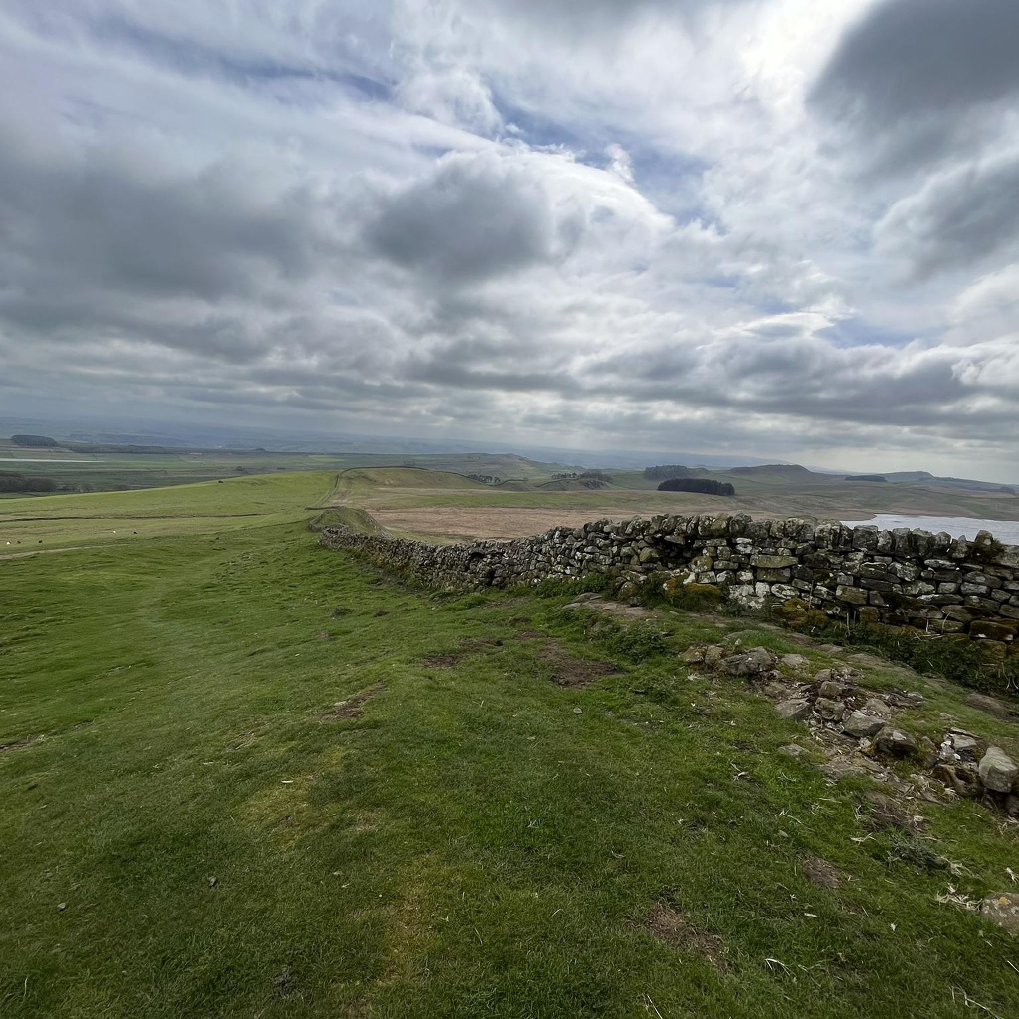
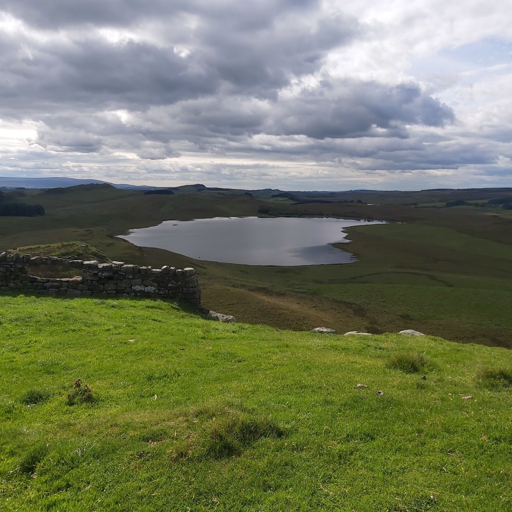
Touring cycling routes around Broomlee Lough are set within a distinctive landscape at the southern edge of Northumberland National Park, immediately north of Hadrian's Wall. The region features a large moorland tarn situated beneath crags, with surrounding terrain that includes marshy shores and deeper sections. The broader area is characterized by the Whin Sill, a geological feature that offers views and forms the base for parts of Hadrian's Wall. This environment provides a mix of historical exploration and natural beauty…
Last updated: October 12, 2026
4.8
(13)
104
riders
38.3km
02:34
520m
520m
Hard bike ride. Very good fitness required. Mostly paved surfaces. Suitable for all skill levels.
5.0
(1)
21
riders
40.3km
03:07
600m
600m
Hard bike ride. Very good fitness required. Mostly paved surfaces. Suitable for all skill levels.

4.5
(2)
13
riders
32.3km
02:04
240m
240m
Moderate bike ride. Good fitness required. Mostly paved surfaces. Suitable for all skill levels.
3.0
(1)
10
riders
Moderate bike ride. Good fitness required. Mostly paved surfaces. Suitable for all skill levels.
5
riders
54.1km
03:16
370m
370m
Moderate bike ride. Good fitness required. Mostly paved surfaces. Suitable for all skill levels.
Get access to more routes and recommendations from other explorers.
Already have an account?
Our route recommendations are based on thousands of hikes, rides, and runs completed by other people on komoot.
Start today with a free account
Your next adventure awaits.

Tips from the Community

Tasty baked goods, worth the queue
0
0
good mix of track surface, some technical bits, fast descent to Langley
0
0

This area is set in a valley with very steep steps taking you down to the river and the underside of the viaduct. You have to carry the bike down the steps. There are some narrow rugged single tracks to make your way around, once through you get an excellent view looking up at Lambley Viaduct arches
0
0


The Beaufront Castle Gatehouse is the gateway to the impressive Beaufront Castle, a Grade I listed manor house in Northumberland, near Hexham. Although the castle itself was built between 1836 and 1841 in the Castellated Gothic Revival style by architect John Dobson, the complex contains older elements such as a clock tower with a bell dating from 1694 and parts of a 17th-century house belonging to the Errington family. The gatehouse is believed to be part of this historic structure and served as both ceremonial and functional access to the estate. It stands on a site where a pele tower—a fortified tower house that was later incorporated into the manor house—was mentioned as early as 1415.
8
0
National Cycle Route 72, or Hadrian's Cycleway, passes through Stanegate here. Stanegate was a strategic Roman border road in Northern England, constructed around 77–85 AD under Governor Agricola—decades before Hadrian's Wall. The name "Stanegate" comes from Old English and literally means "stone road." Stanegate runs through the valleys of the River Tyne and River Irthing and is approximately 61 km long. It served as a military corridor leading to Hadrian's Wall and, from around 87 AD, became the de facto northern border of the Roman Empire in Britain.
7
0

Frequently Asked Questions
How many touring cycling routes are available around Broomlee Lough?
There are over 50 touring cycling routes available around Broomlee Lough. These routes cater to various skill levels, with 5 easy, 27 moderate, and 22 difficult options, ensuring a suitable ride for most cyclists.
What is the general difficulty level of touring cycling routes in the area?
The touring cycling routes around Broomlee Lough offer a range of difficulties. While there are 5 easy routes suitable for beginners, the majority are classified as moderate (27 routes) or difficult (22 routes), often featuring varied terrain and elevation changes characteristic of the Northumberland landscape.
Are there any family-friendly cycling routes near Broomlee Lough?
While many routes in the area are moderate to difficult, some sections of the Hadrian's Cycleway (National Cycle Route 72) offer quieter roads and traffic-free paths that can be suitable for families. For specific easy routes, you can explore options like the 5 easy routes available on komoot, which may offer gentler gradients and less demanding distances.
Can I bring my dog on cycling routes around Broomlee Lough?
Many public rights of way and cycle paths in the Northumberland National Park area are dog-friendly, provided dogs are kept under control, especially near livestock or protected wildlife. It's always best to check specific route details on komoot or local signage for any restrictions, particularly as Broomlee Lough is a designated Site of Special Scientific Interest (SSSI).
Are there circular cycling routes available around Broomlee Lough?
Yes, many of the touring cycling routes around Broomlee Lough are designed as loops, allowing you to start and finish at the same point. Examples include the View of Vindolanda Roman Fort – Warden Bridge loop from Bardon Mill or the Lambley Viaduct – Lambley Viaduct loop from Bardon Mill, which offer varied scenery and return to your starting location.
What historical sites can I explore while cycling near Broomlee Lough?
The area around Broomlee Lough is rich in history, with Hadrian's Wall running immediately south of the lough. Cyclists can easily access and explore various Roman sites such as Housesteads Roman Fort, Vindolanda, Chesters, and Birdoswald, which are dotted along or near the cycling routes, offering a blend of natural beauty and historical exploration.
What is the best time of year to go touring cycling around Broomlee Lough?
The best time to go touring cycling around Broomlee Lough is typically from spring to autumn (April to October). During these months, the weather is generally milder, and the days are longer, making for more pleasant riding conditions. The landscape is particularly vibrant in spring and summer, while autumn offers beautiful foliage.
Where can I find parking for cycling near Broomlee Lough?
Parking is available at various points along the Hadrian's Wall corridor and in nearby villages. For specific routes, check the tour details on komoot, as many routes start from locations with designated parking areas. Bardon Mill, for instance, is a common starting point for several routes and offers parking facilities.
Is public transport available to reach cycling routes near Broomlee Lough?
Public transport options, including local bus services, connect some of the villages and towns in the Hadrian's Wall area. The Hadrian's Wall Bus (AD122) operates seasonally and can transport cyclists and their bikes to various points along the wall. Train stations like Bardon Mill also provide access to the region, though checking bike carriage policies in advance is advisable.
Are there places to eat or stay near the cycling routes?
Yes, the villages and towns surrounding Broomlee Lough and along Hadrian's Wall offer various amenities. Haltwhistle, often referred to as the 'Centre of Britain,' provides pubs, cafes, and accommodation options. Other villages like Bardon Mill also have facilities where cyclists can refuel and rest.
What makes the landscape around Broomlee Lough unique for touring cyclists?
The landscape around Broomlee Lough is unique due to its position at the southern edge of Northumberland National Park, featuring a large moorland tarn beneath dramatic crags like Dove Crag. The area is also characterized by the Whin Sill, an impressive geological formation that offers exceptional views and forms the base for parts of Hadrian's Wall, providing a rugged and historically rich backdrop for cycling.
What do other cyclists say about the routes around Broomlee Lough?
The touring cycling routes around Broomlee Lough are highly rated by the komoot community, with an average score of 4.1 stars from over 25 reviews. Cyclists often praise the blend of historical exploration with natural beauty, the varied terrain, and the sense of tranquility found in this distinctive moorland landscape.
Are there any permits required for cycling in Northumberland National Park near Broomlee Lough?
Generally, no specific permits are required for cycling on public roads, bridleways, or designated cycle paths within Northumberland National Park. However, it's always good practice to respect local signage, especially in sensitive ecological areas like Broomlee Lough (a Site of Special Scientific Interest), and to follow the Countryside Code. For more detailed information, you can visit the Northumberland National Park website.
Most popular routes around Broomlee Lough

Get inspired with the komoot mobile app


Explore more
Browse the best Cycling routes in other regions.
