The best mountain hikes around Strines Reservoir
4
hikers
3
hikes
Mountaineering around Strines Reservoir offers access to the rugged natural beauty of the Peak District National Park. The region is characterized by dramatic gritstone formations, expansive moorland, and ancient woodlands. These features provide a diverse landscape for mountaineering routes, including opportunities for scrambling on escarpments like Derwent Edge.
Best mountaineering routes around Strines Reservoir
- The most popular mountaineering route is Back Tor Trig Point – Derwent Edge loop from Hallfield, a 7.1 miles (11.5 km) trail that takes 3…
Last updated: June 26, 2026
11.5km
03:17
280m
280m
Moderate mountaineering route. Good fitness required. Easily-accessible paths. Suitable for all skill levels.
1
hikers
11.3km
03:06
170m
170m
Moderate mountaineering route. Good fitness required. Easily-accessible paths. Suitable for all skill levels.

Sign up for free
3
hikers
Moderate mountaineering route. Good fitness required. Easily-accessible paths. Suitable for all skill levels.
Our route recommendations are based on thousands of hikes, rides, and runs completed by other people on komoot.
Start today with a free account
Your next adventure awaits.
Login or Signup
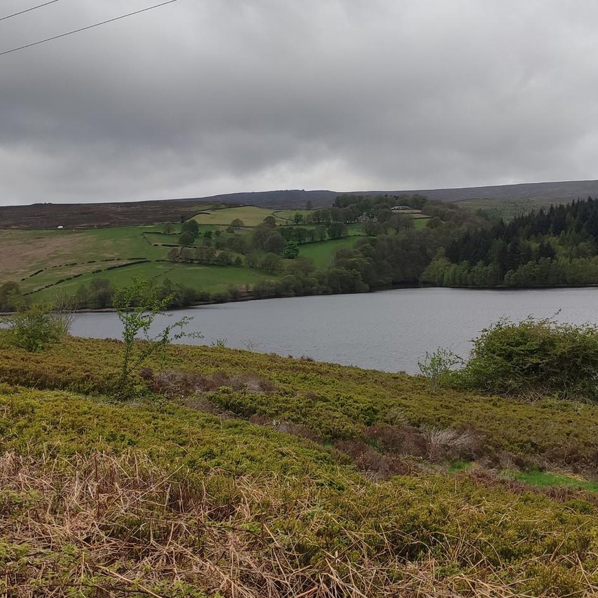
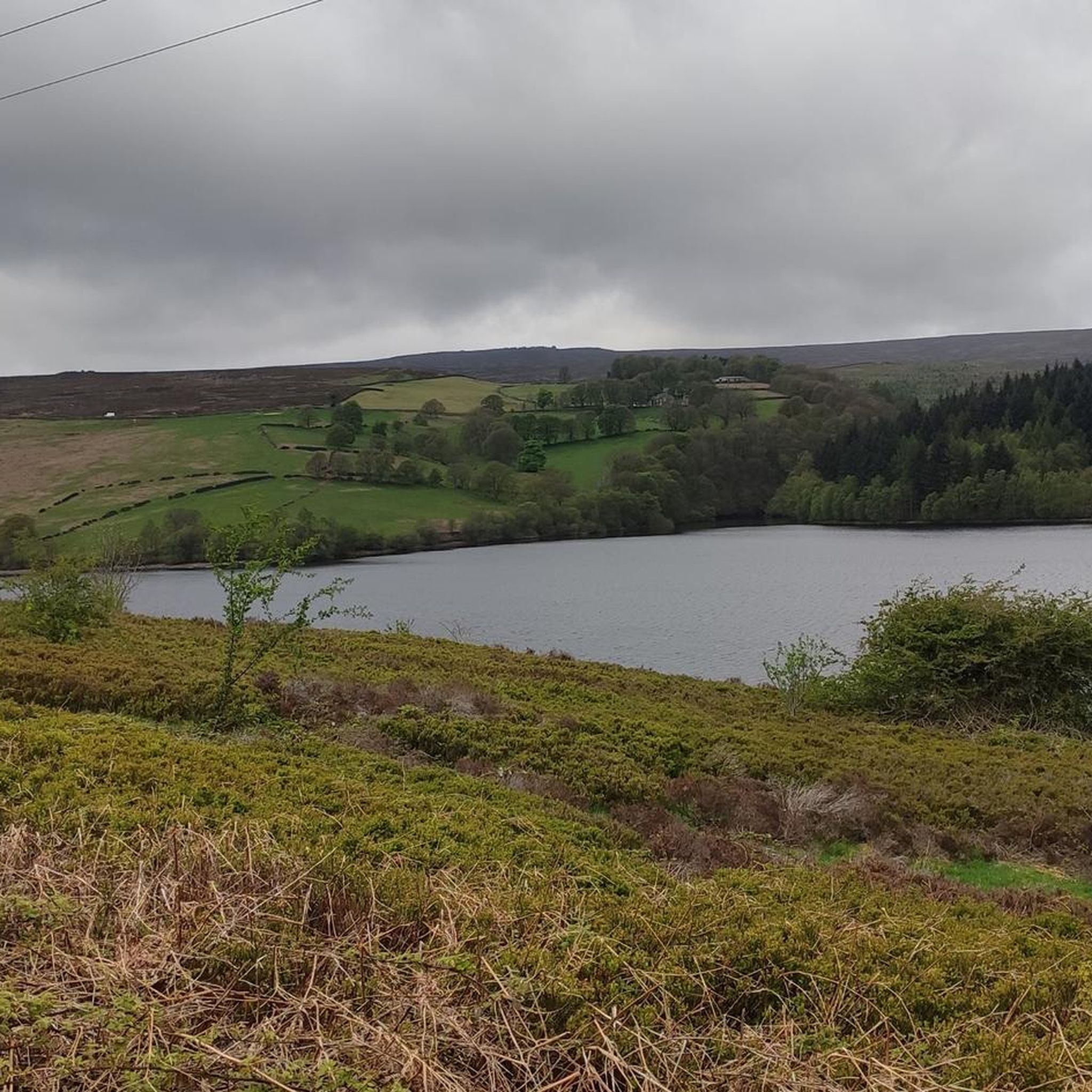
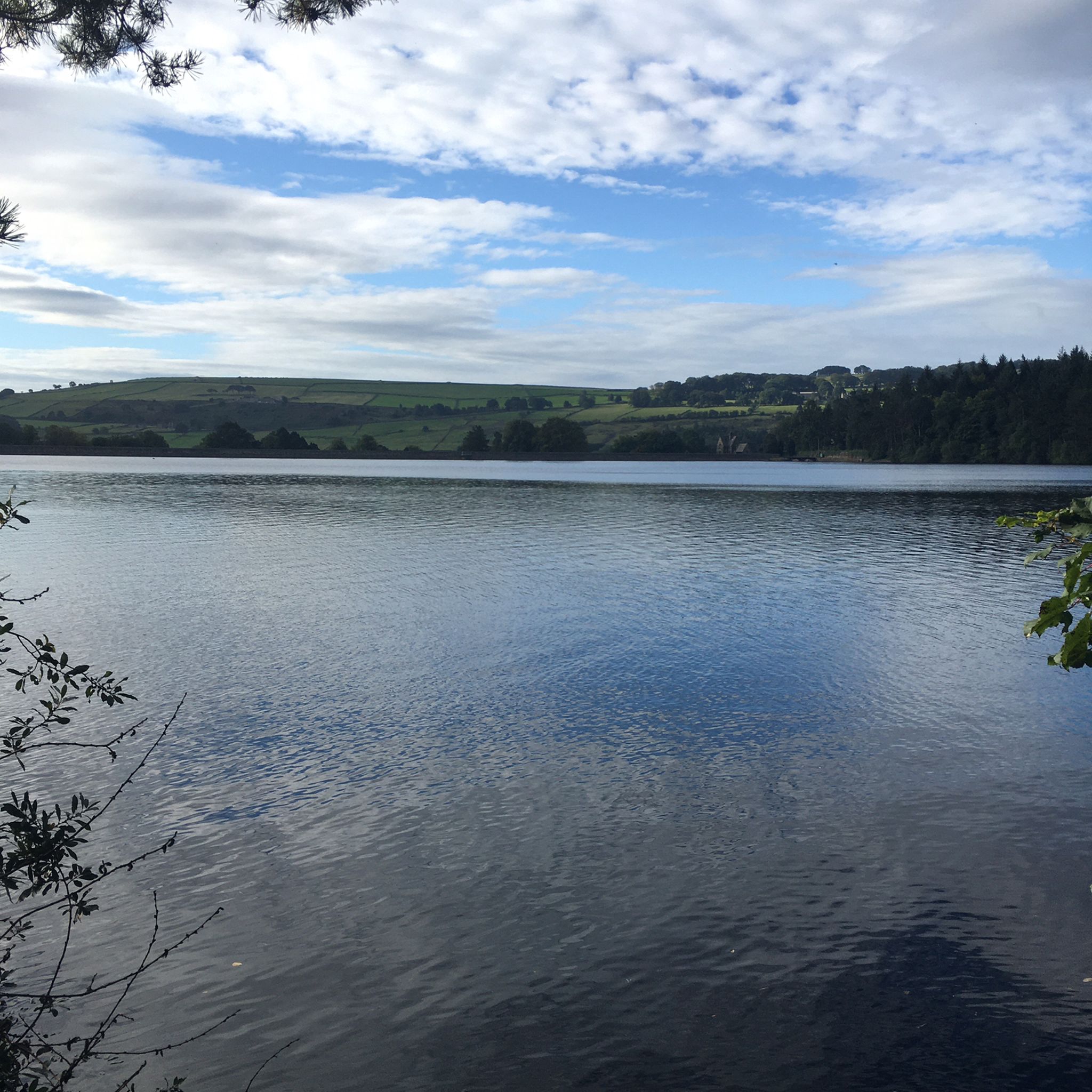
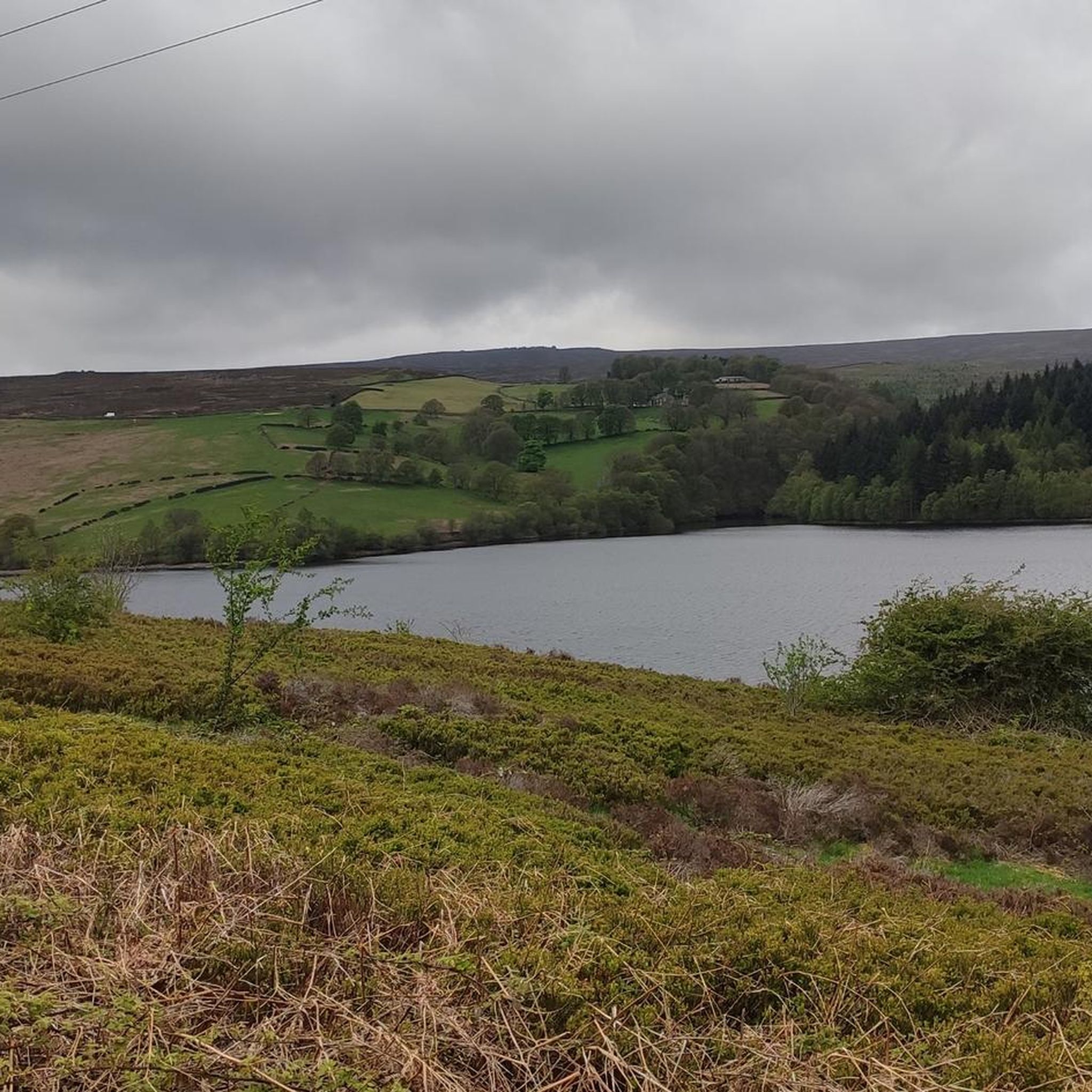

Tips from the Community

Great spot to walk/run round always uplifting, it can be very muddy and boggy in places after heavy rainfall.
0
0


Offer good views down into the valley in-between Burbage edge and higgor tor
0
0


beautiful ikkle spot for a tea break and a picture.
0
0


Perfect sunrise and sunset spot. Great little easy-ish hike. Parking in lay-by.
0
0

There's a coffee van in the car park here at the weekends now - good coffee, good cake.
0
0
Frequently Asked Questions
How many mountaineering routes are available around Strines Reservoir?
Komoot currently features 4 mountaineering routes around Strines Reservoir. These routes offer a range of experiences, from moderate to more challenging ascents, showcasing the diverse landscape of the Peak District National Park.
What kind of terrain can I expect on mountaineering routes near Strines Reservoir?
The terrain around Strines Reservoir is characterized by dramatic gritstone formations, expansive moorland, and ancient woodlands. You'll encounter varied paths, from well-trodden trails to more rugged sections, especially when ascending escarpments like Derwent Edge.
Are there any challenging mountaineering routes in the Strines Reservoir area?
Yes, for those seeking a more demanding experience, the area offers routes like the Trig point at Win Hill summit – Mam Tor summit and trig point loop from Hope. This route covers over 23 km with significant elevation gain, providing a strenuous but rewarding mountaineering adventure.
What are the notable natural features or landmarks I might encounter on these routes?
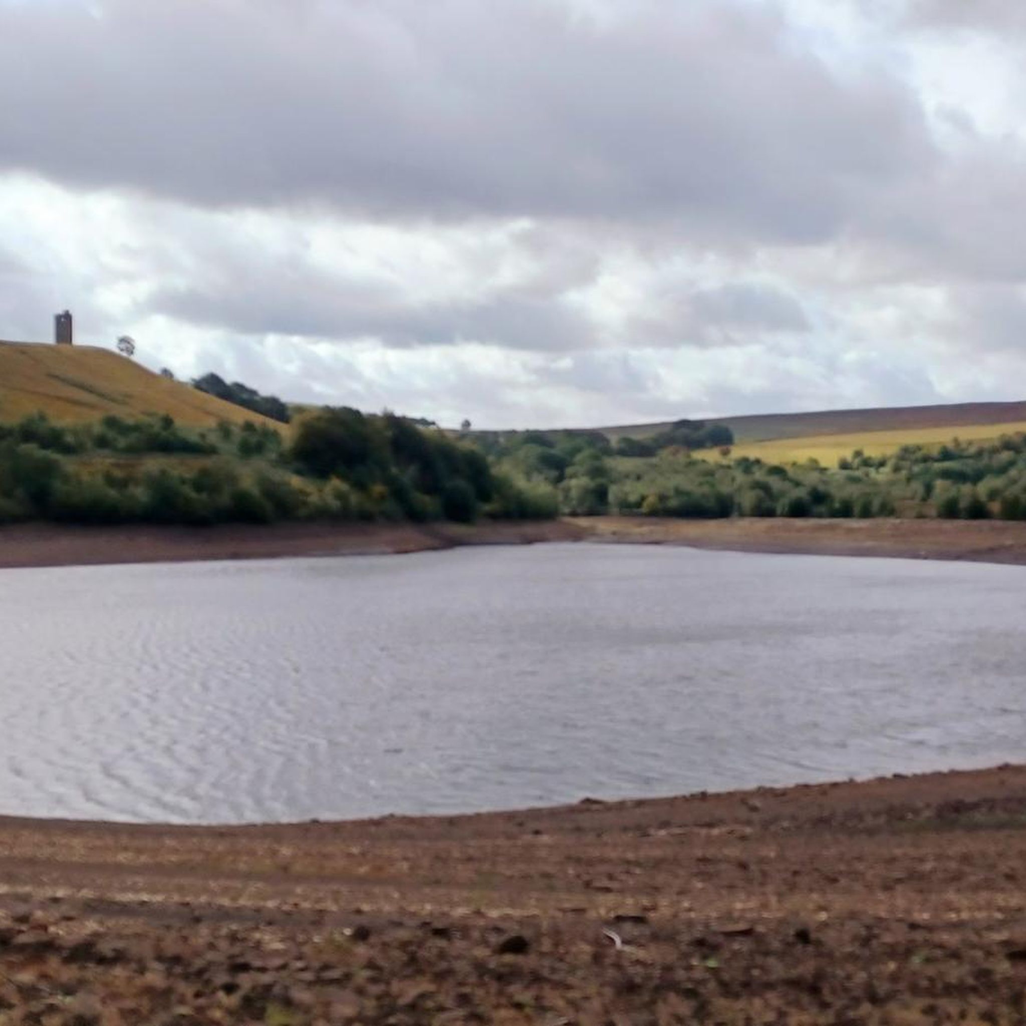
Mountaineering around Strines Reservoir offers views of several striking features. You can ascend to Back Tor, the highest point on Derwent Edge, for panoramic vistas. Other unique gritstone formations include the Wheel Stones (Coach and Horses), Cakes of Bread, and the Salt Cellar. You might also spot Boot's Folly, a castellated tower offering excellent views over the reservoir.
Are there any circular mountaineering routes around Strines Reservoir?
Yes, many of the mountaineering routes in the area are designed as loops. For example, the Back Tor Trig Point – Derwent Edge loop from Hallfield is a popular circular route that takes you to the summit of Back Tor and along Derwent Edge, returning to your starting point.
Can I bring my dog on the mountaineering trails?
Many trails in the Peak District National Park are dog-friendly, but it's essential to keep dogs on a lead, especially in areas with livestock or ground-nesting birds, and to follow the Countryside Code. Always check specific route details for any restrictions.
What is the best time of year for mountaineering around Strines Reservoir?
Spring and autumn generally offer the most pleasant conditions for mountaineering, with milder temperatures and vibrant landscapes. Summer is also popular, but be prepared for potentially crowded trails. Winter mountaineering is possible but requires appropriate gear and experience due to potentially challenging conditions on exposed moorland and gritstone escarpments.
Is there public transport available to reach the mountaineering trailheads?
While some trailheads in the wider Peak District are accessible by public transport, direct access to Strines Reservoir itself can be limited. It's advisable to check local bus services from nearby towns like Sheffield or Glossop, or consider using a car for more flexible access to the starting points of these mountaineering routes.
Where can I park when visiting Strines Reservoir for mountaineering?
Parking options vary depending on the specific trailhead you choose. There are often small car parks or roadside parking areas near popular starting points for routes around the reservoir and Derwent Edge. Always park responsibly and be mindful of local residents and access points.
Are there any places to eat or drink near the mountaineering routes?
While Strines Reservoir itself is quite rural, there are pubs and cafes in nearby villages and towns within the Peak District. You might find options in areas like Bradfield or further afield in Sheffield, which are a short drive from the reservoir, perfect for a post-hike refreshment.
What should I wear or bring for mountaineering in this region?
For mountaineering around Strines Reservoir, it's crucial to wear appropriate layers, including waterproof and windproof outer shells, as weather conditions can change rapidly on the exposed moorlands. Sturdy hiking boots with good ankle support are essential. Always carry a map, compass or GPS, sufficient water, snacks, and a first-aid kit.
Are there opportunities for scrambling or rock climbing in the area?
Yes, the gritstone escarpments, particularly Derwent Edge, offer potential for both scrambling and rock climbing. Dovestone Tor is notable for its numerous rock climbing routes. For scrambling, Back Tor provides mid-grade classic routes, though climbers should be aware of potentially loose rock.
Can I combine a visit to Strines Reservoir with other nearby reservoirs?
Absolutely. Strines Reservoir is one of several reservoirs in the Bradfield Dale area, including Dale Dike and Agden. Many longer walking and mountaineering routes in the region incorporate views across these bodies of water, allowing you to experience more of the area's scenic beauty.
Most popular routes around Strines Reservoir

Get inspired with the komoot mobile app


Explore more
Browse the best Mountain Hikes & Routes in other regions.
