The best road cycling routes around Athens-Clarke County Unified Government
4.9
(8)
475
riders
97
rides
Road cycling around Athens-Clarke County Unified Government offers diverse routes through a landscape characterized by river greenways, forested areas, and varying elevations. The region features well-maintained paths and roads, catering to different skill levels. Cyclists can explore routes that follow the North Oconee River and traverse through natural settings, including urban forests and wetlands. The terrain includes both flat sections and more challenging roads with significant climbs.
Best road cycling routes around Athens-Clarke County Unified Government
- The most popular road…
Last updated: July 15, 2026
29
riders
Moderate road ride. Good fitness required. Mostly well-paved surfaces and easy to ride.
4.0
(1)
14
riders
Easy road ride. Great for any fitness level. Mostly well-paved surfaces and easy to ride.

Sign up for free
5.0
(1)
9
riders
40.8km
01:54
320m
320m
Moderate road ride. Good fitness required. Mostly well-paved surfaces and easy to ride.
9
riders
38.4km
01:46
320m
320m
Moderate road ride. Good fitness required. Mostly well-paved surfaces and easy to ride.
10
riders
Easy road ride. Great for any fitness level. Mostly well-paved surfaces and easy to ride.
7
riders
71.2km
03:28
650m
650m
Moderate road ride. Good fitness required. Mostly well-paved surfaces and easy to ride.
6
riders
81.9km
04:01
750m
750m
Moderate road ride. Good fitness required. Mostly well-paved surfaces and easy to ride.
5
riders
Moderate road ride. Good fitness required. Mostly well-paved surfaces and easy to ride.
6
riders
75.8km
03:43
750m
750m
Moderate road ride. Good fitness required. Mostly well-paved surfaces and easy to ride.
6
riders
Hard road ride. Very good fitness required. Mostly well-paved surfaces and easy to ride.
Get access to more routes and recommendations from other explorers.
Sign up for free
Already have an account?
Our route recommendations are based on thousands of hikes, rides, and runs completed by other people on komoot.
Start today with a free account
Your next adventure awaits.
Login or Signup
Popular around Athens-Clarke County Unified Government

Tips from the Community

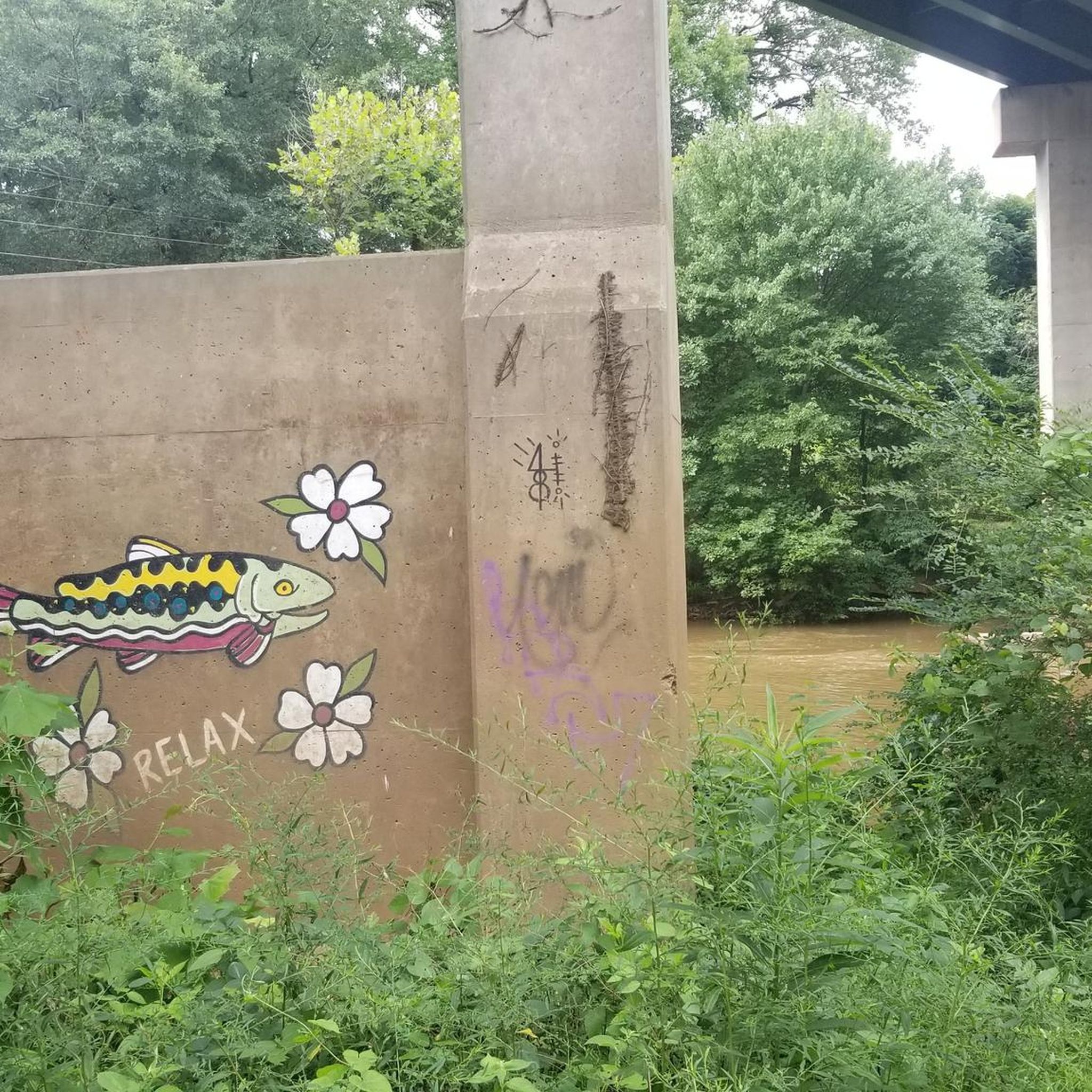
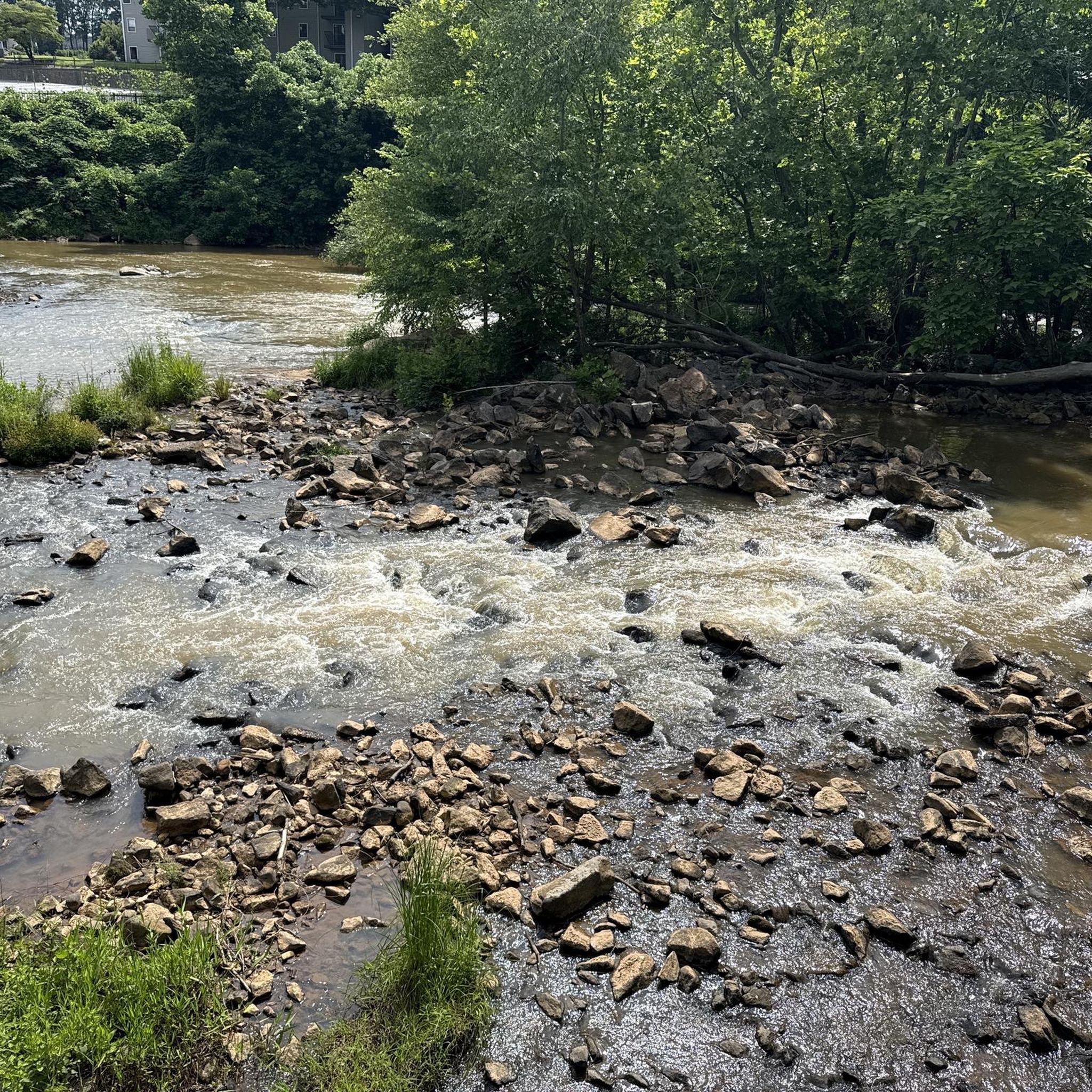
Viewing deck next to the Greenway multi-use trail, with a short trail through the woods to get closer to the waterfall.
0
0

This is a great wide, paved multi-use path that runs 3.5 miles end-to-end and connects a host of small parks along the riverside. This is easily accessible from the University of Georgia and takes you north toward Sandy Creek.
0
0

Longest covered wooden bridge in Georgia
0
0

The park was originally established in 1924 as a memorial to Athens residents who died in World War I. The park's centerpiece, a white marble obelisk, honors their sacrifice.
0
0

Devils Pond is a small pond just off of Crawford Smithsonia Road in Crawford. This is a nice place to slow down a little as you ride and look out for birds and other animals.
0
0

One of the most picturesque state parks in Georgia, Watson Mill Bridge contains the longest covered bridge in the state, spanning 229 feet across the South Fork River. Built in 1885 by Washington (W.W.) King, son of freed slave and famous covered-bridge builder Horace King, the bridge is supported by a town lattice truss system held firmly together with wooden pins. At one time, Georgia had more than 200 covered bridges; today, less than 20 remain. The park is an ideal spot for an afternoon picnic or overnight stay in the quiet campground. Hiking, biking and horseback riding trails allow visitors to enjoy the thick forest and river. During summer, visitors often play in the cool river shoals just below the bridge. Watson Mill Bridge has become a popular destination for horse owners, who have their own camping area near stalls.
0
0
Frequently Asked Questions
How many road cycling routes are available in Athens-Clarke County Unified Government?
Athens-Clarke County Unified Government offers a wide variety of road cycling routes. You can find over 99 routes, catering to different skill levels and preferences, from easy rides to more challenging excursions.
What do other cyclists enjoy most about road cycling in Athens-Clarke County?
The road cycling routes in Athens-Clarke County Unified Government are highly rated by the komoot community, with an average score of 4.8 stars from over 8 reviews. Cyclists often praise the diverse terrain, scenic river greenways, and the blend of natural beauty with well-maintained paths.
What is the best time of year for road cycling in Athens-Clarke County?
While road cycling is enjoyable throughout much of the year, the region's popular riding months are July and August. However, spring and fall often offer more temperate weather conditions, making them ideal for comfortable rides through the varied landscapes.
Are there easy or beginner-friendly road cycling routes in the area?
Yes, Athens-Clarke County offers several easy road cycling routes perfect for beginners or those looking for a relaxed ride. For example, the Roadbike loop from Athens is an easy 24.7 km route with moderate elevation, and the Athens Waterfall loop from Normaltown is another easy option at 25.8 km.
What kind of terrain can I expect on road cycling routes in Athens-Clarke County?
You can expect a diverse range of terrain. Many routes feature well-paved surfaces along river greenways like the North Oconee River Greenway, offering smooth rides. Other routes may include rolling hills and varying elevations through forested areas, providing a mix of moderate and challenging segments. Some routes might also incorporate short unpaved sections, suitable for more experienced cyclists.
Are there challenging routes for experienced road cyclists?
Absolutely. For experienced cyclists seeking a challenge, Athens-Clarke County offers routes with significant elevation gains and longer distances. An example is the View on the Watson Mill Bridge – North Oconee River Greenway loop from Athens, which covers 99.3 km with over 800 meters of elevation gain, providing a demanding ride.
Are there any routes that feature waterfalls?
Yes, several routes incorporate views of local waterfalls. The Athens Waterfall – North Oconee River Greenway loop from Athens is a 53.8 km route that leads through river greenways and past waterfalls. Another option is the Athens Waterfall loop from University of Georgia, a 51.1 km route with similar scenic features.
What natural features or landmarks can I see along the road cycling routes?
Many routes offer scenic views along the North Oconee River Greenway, which follows the North Oconee River. You might also encounter forested areas, wetlands, and parks like Memorial Park or Sandy Creek Nature Center. The Firefly Trail, a multi-use path, features a towering trestle bridge in Dudley Park, providing an 'Insta-worthy moment' for riders.
Are there long-distance road cycling options in Athens-Clarke County?
Yes, for those looking for longer rides, Athens-Clarke County has options that extend for significant distances. The View on the Watson Mill Bridge – North Oconee River Greenway loop from Athens is a substantial 99.3 km route, offering an extended cycling experience through the region.
Are there family-friendly road cycling routes?
Yes, the paved multi-use trails are excellent for families. The North Oconee River Greenway, for instance, offers a pleasant ride through natural areas, and the Firefly Trail provides a leisurely ride through diverse landscapes, suitable for all skill levels. Organizations like BikeAthens also offer 'Joy Rides' which are casual, slow-paced group rides designed for all ages and abilities.
Is parking available near the road cycling trailheads?
Yes, parking is generally available at various parks and access points along the paved trail system. For example, areas near the North Oconee River Greenway and the Firefly Trail often have designated parking facilities, making it convenient to start your ride.
Can I access road cycling routes using public transport?
Athens-Clarke County has a public transportation system, Athens Transit, which may offer access to areas near some trailheads or greenways. It's advisable to check specific routes and schedules with Athens Transit for the most up-to-date information on accessibility to your chosen cycling starting point.
Are there cafes or places to stop for refreshments along the routes?
While specific cafes directly on every route may vary, many routes pass through or near Athens' urban areas and neighborhoods like Normaltown, where you can find various cafes, restaurants, and shops for refreshments. The growing cycling community and infrastructure mean that amenities are often accessible within a short detour from the main trails.
Are dogs allowed on road cycling paths?
On multi-use trails like the North Oconee River Greenway and the Firefly Trail, dogs are generally welcome, provided they are on a leash. For specific park trails, such as those in Virginia Walker Park, dogs on leashes are also permitted. Always ensure to follow local regulations and clean up after your pet.
Most popular routes around Athens-Clarke County Unified Government

Get inspired with the komoot mobile app


Explore more
Browse the best Road cycling routes in other regions.
