The best road cycling routes around Lough Corrib
4.7
(46)
3,047
riders
164
rides
Road cycling around Lough Corrib offers a diverse landscape characterized by the expansive freshwater lake, rolling countryside, and a network of quiet rural roads. The region features a mix of flat sections along the lake shore and gently undulating terrain, providing varied gradients for road cyclists. Limestone formations are common, influencing the local geology and road surfaces. This area is ideal for exploring scenic routes with views of the lake and surrounding natural environment.
Best road cycling routes around Lough Corrib
- The most popular road cycling route is Lough Mask loop from Cong, a 40.4 miles (65.0 km) trail that takes 2 hours 36 minutes to complete. This moderate route offers extensive views of Lough Mask and the surrounding rural landscape.
- Another top favourite among local road cyclists is View of Killary Lough – View of Killary Harbour loop from Cong ED, a moderate 49.8 miles (80.1 km) path. This route extends towards the scenic Killary Harbour, providing a mix of lakeside and coastal-influenced terrain.
- Local road cyclists also love the View of Lough Corrib – View of Lough Nafooey loop from Cong ED, a 51.7 miles (83.2 km) trail leading through varied terrain with views of Lough Corrib and Lough Nafooey, often completed in about 3 hours 37 minutes.
- Road cycling around Lough Corrib is defined by expansive lake views, quiet country roads, and gently rolling hills. The network offers options for easy rides suitable for beginners and more challenging routes for experienced road cyclists.
- The routes in Lough Corrib are highly rated by the komoot community with an average score of 4.7 stars from over 30 reviews. More than 3000 road cyclists have used komoot to explore Lough Corrib's varied terrain.
Last updated: July 7, 2026
5.0
(1)
62
riders
65.0km
02:36
340m
340m
Cycle the moderate 40.4-mile Lough Mask loop from Cong, enjoying scenic lakeside views, charming villages, and rolling Irish countryside.
5.0
(1)
38
riders
80.2km
03:21
590m
590m
Moderate road ride. Good fitness required. Mostly well-paved surfaces and easy to ride.

Sign up for free
13
riders
34.6km
01:36
340m
340m
Moderate road ride. Good fitness required. Mostly well-paved surfaces and easy to ride.
12
riders
83.2km
03:37
590m
590m
Moderate road ride. Good fitness required. Mostly well-paved surfaces and easy to ride.
5
riders
49.8km
02:33
550m
550m
Moderate road ride. Good fitness required. Mostly well-paved surfaces and easy to ride.
Get access to more routes and recommendations from other explorers.
Sign up for free
Already have an account?
Our route recommendations are based on thousands of hikes, rides, and runs completed by other people on komoot.
Start today with a free account
Your next adventure awaits.
Login or Signup
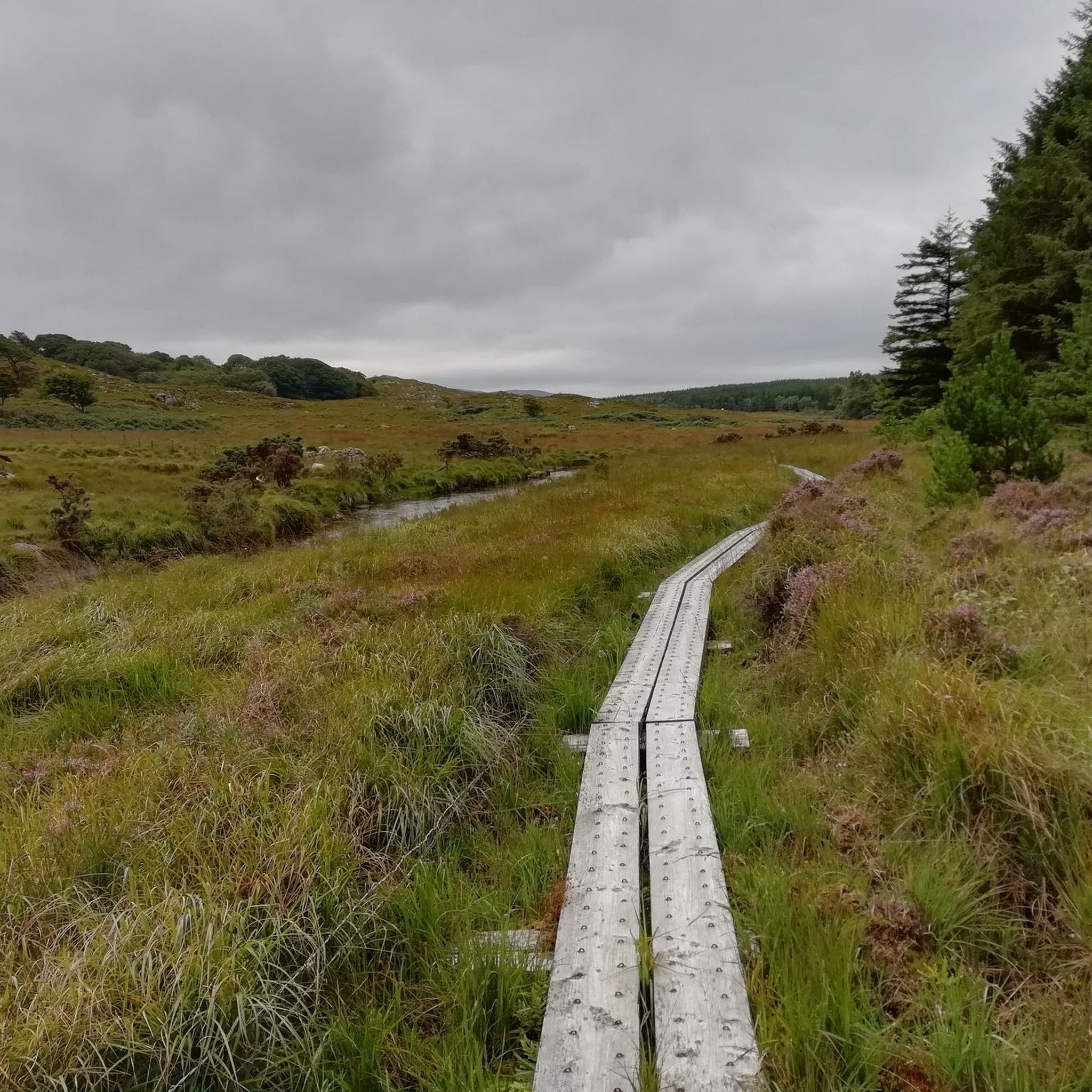

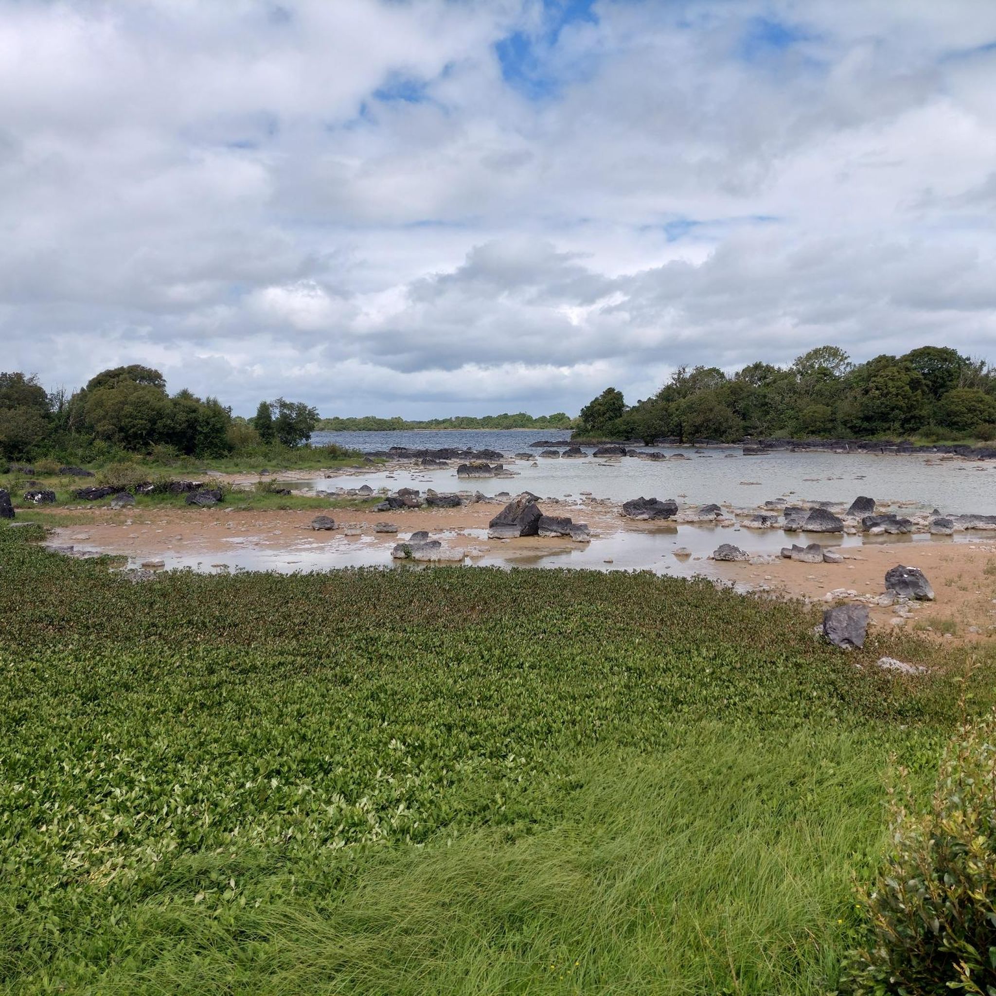
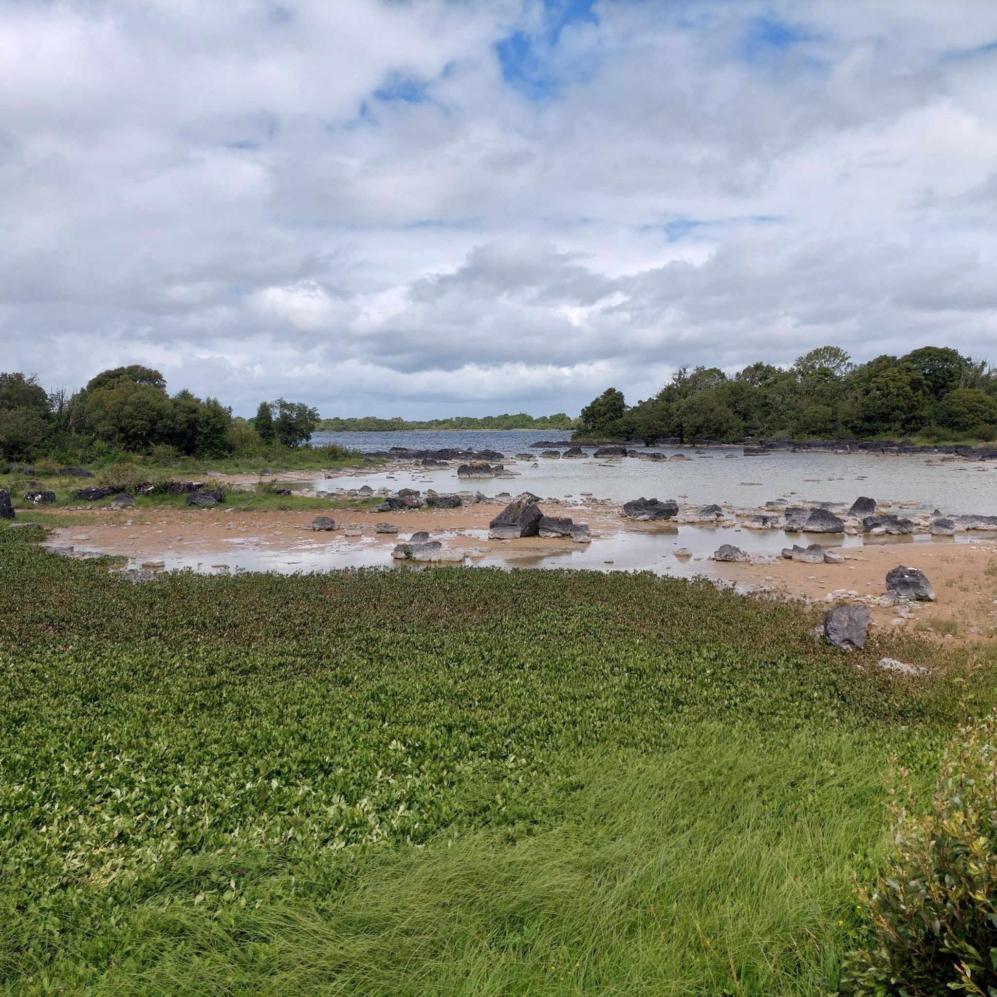
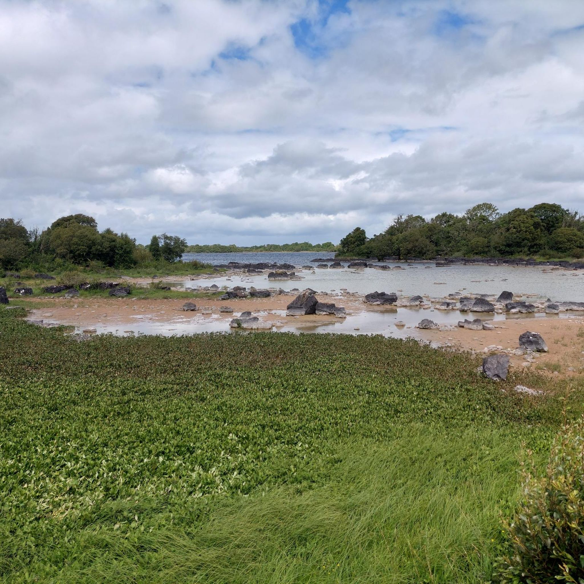
Tips from the Community

While the sheep graze on the surrounding hillsides, you stand here on the threshold of Killary Fjord. From the quay, you have a wonderful widescreen perspective of where the salt water cuts deep into the land, flanked by the impressive peaks of Mayo. It is the ideal place to put your bike aside for a moment, breathe in the salty air, and observe the activity at the small pier with the mighty Ben Gorm as a backdrop.
6
0
At this spot, the landscape opens up towards Killary Lough, Ireland's only true fjord. From the slight elevation, you see the long, narrow water between the Mweelrea mountains (Mayo) and the Twelve Bens/Maumturks (Galway). The view is broad and clear: a deep, straight fjord valley with steep flanks, tidal water, and often a strikingly silvery light. The road runs here along open peatland and low rocks, causing the fjord to suddenly come fully into view — a classic Connemara moment of space, water, and rugged mountains.
7
0
This is THE postcard moment of your tour through Connemara. From this elevated point along the N59, you have an unobstructed view over the deep blue fjord and the steep walls of the Mweelrea mountain on the other side. It's the perfect spot to get off your bike for a moment, breathe in the salty sea air, and take in the scale of this unique glacial landscape. Don't forget to wave to the dolphins that sometimes swim by in the depths below!
7
0

Situated on the Killary Fjord to the north of the Maumturks and with views towards shapely Mweelrea, Leenaun is wonderfully situated for hiking adventures. The name of the village derives from the Irish An Lionán, which means 'ravine' – a reference to the way the fjord cuts through the mountainous landscape. There are a few places to eat and drink, as well as several accommodation options.
0
0


Leenaun, also spelled Leenane (Irish: An Líonán), is a picturesque village located in County Galway, Ireland. Situated at the head of Killary Harbour, Ireland's only fjord, Leenaun lies on the boundary between County Galway and County Mayo, offering stunning views of surrounding mountains.
1
0

Nice climb and nice decent, be care of cross winds on the decent
0
0

The fourth largest lake in the country, Lough Mask sits in both County Mayo and County Galway. Up on the hill you get a wonderful vantage point of the calm waters and the surrounding lush green countryside.
0
0
Frequently Asked Questions
How many road cycling routes are available around Lough Corrib?
There are over 170 road cycling routes around Lough Corrib, offering a wide variety of options for different skill levels and preferences.
Are there road cycling routes suitable for beginners around Lough Corrib?
Yes, Lough Corrib offers over 50 easy road cycling routes perfect for beginners. An example is the Views of Lough Corrib loop from Illaunaknick, which is an easy 35 km ride with gentle elevation.
What are some challenging road cycling routes for experienced cyclists in the Lough Corrib area?
For experienced cyclists seeking a challenge, there are over 20 difficult routes around Lough Corrib. These routes often feature more significant climbs and longer distances, providing a rewarding experience.
Are there any long-distance road cycling routes around Lough Corrib?
Yes, several routes offer longer distances for endurance cyclists. The View of Lough Corrib – View of Lough Nafooey loop from Cong ED is a substantial 83.2 km route, and the View of Killary Lough – View of Killary Harbour loop from Cong ED covers 80.1 km, both providing extensive riding opportunities.
What kind of scenery can I expect on road cycling routes around Lough Corrib?
Road cycling around Lough Corrib offers diverse scenery, including expansive freshwater lake views, rolling countryside, and quiet rural roads. You'll encounter a mix of flat sections along the lake shore and gently undulating terrain, often with limestone formations influencing the landscape.
Are there circular road cycling routes available around Lough Corrib?
Many of the routes around Lough Corrib are designed as loops, allowing you to start and finish in the same location. Examples include the popular Lough Mask loop from Cong and the Views of Lough Corrib loop from Cornamona.
What attractions or landmarks can I see along the road cycling routes?
Along your rides, you can explore various attractions. Notable points of interest include Ashford Castle, the tranquil Pebble Beach at Lough Corrib, and several picturesque piers like Inishmicatreer South Pier and Knockferry Pier.
What do other road cyclists enjoy most about cycling in Lough Corrib?
The area is highly rated by the komoot community, with an average score of 4.7 stars. Reviewers often praise the expansive lake views, the tranquility of the quiet country roads, and the variety of terrain that caters to different cycling abilities.
Is Lough Corrib suitable for family-friendly road cycling?
Yes, Lough Corrib offers several easy and moderate routes that are suitable for families. These routes often feature less traffic and gentler gradients, making them enjoyable for cyclists of all ages.
What is the best time of year for road cycling around Lough Corrib?
The best time for road cycling around Lough Corrib is generally from late spring to early autumn (May to September) when the weather is milder and daylight hours are longer. However, routes can be enjoyed year-round, with proper preparation for cooler or wetter conditions.
Are there places to stop for refreshments like cafes or pubs along the routes?
While specific amenities vary by route, many villages and towns around Lough Corrib, such as Cong, offer cafes, pubs, and shops where cyclists can stop for refreshments and breaks. Planning your route in advance can help identify suitable stopping points.
Where are common starting points for road cycling routes around Lough Corrib?
Common starting points include towns like Cong, Cornamona, and other lakeside villages. These locations often provide convenient access to various loops and routes, as well as potential parking facilities.
Most popular routes around Lough Corrib
Most popular attractions around Lough Corrib

Get inspired with the komoot mobile app


