The best cycling routes around Lough Cullin
5.0
(2)
26
riders
3
rides
Touring cycling around Lough Cullin offers routes through a landscape characterized by the tranquil waters of the lake, framed by the Nephin and Ox mountains. The region features diverse ecosystems, including wetlands and forests, providing varied terrain for cyclists. The interconnected system of lakes and rivers, such as the River Moy, contributes to the area's natural beauty. Cyclists can expect a mix of mostly paved surfaces and some elevation gain, with routes often passing close to the lakeside.
Best touring…
Last updated: June 27, 2026
4
riders
25.5km
01:31
120m
120m
Easy bike ride. Great for any fitness level. Mostly paved surfaces. Suitable for all skill levels.
5.0
(1)
3
riders
31.9km
01:55
210m
210m
Moderate bike ride. Good fitness required. Mostly paved surfaces. Suitable for all skill levels.

Sign up for free
2
riders
27.4km
01:42
260m
260m
Moderate bike ride. Good fitness required. Mostly paved surfaces. Suitable for all skill levels.
4
riders
40.9km
02:26
240m
240m
Moderate bike ride. Good fitness required. Mostly paved surfaces. Suitable for all skill levels.
7
riders
51.4km
03:00
280m
280m
Moderate bike ride. Good fitness required. Mostly paved surfaces. Suitable for all skill levels.
Our route recommendations are based on thousands of hikes, rides, and runs completed by other people on komoot.
Start today with a free account
Your next adventure awaits.
Login or Signup
Popular around Lough Cullin
Tips from the Community

Lough Cullin sounds like a really peaceful and ecologically important place, especially with its connection to Lough Conn and the River Moy system. I didn’t realize how directly it links freshwater habitats to the Atlantic—makes it even more interesting.https://www.metlifedentalproviders.com
0
0

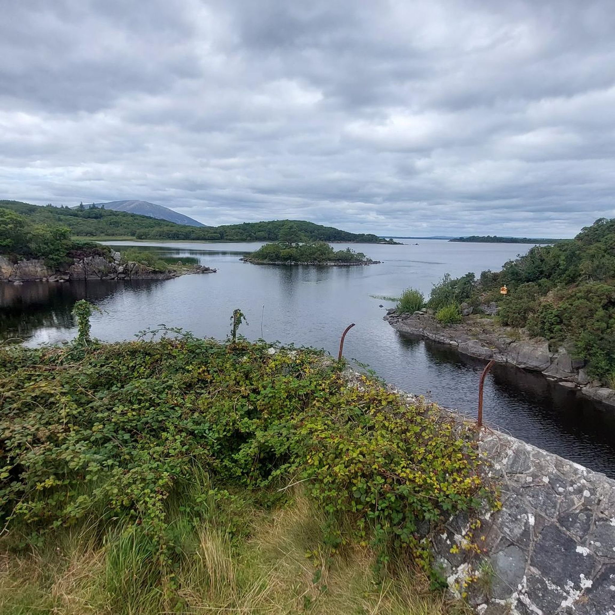
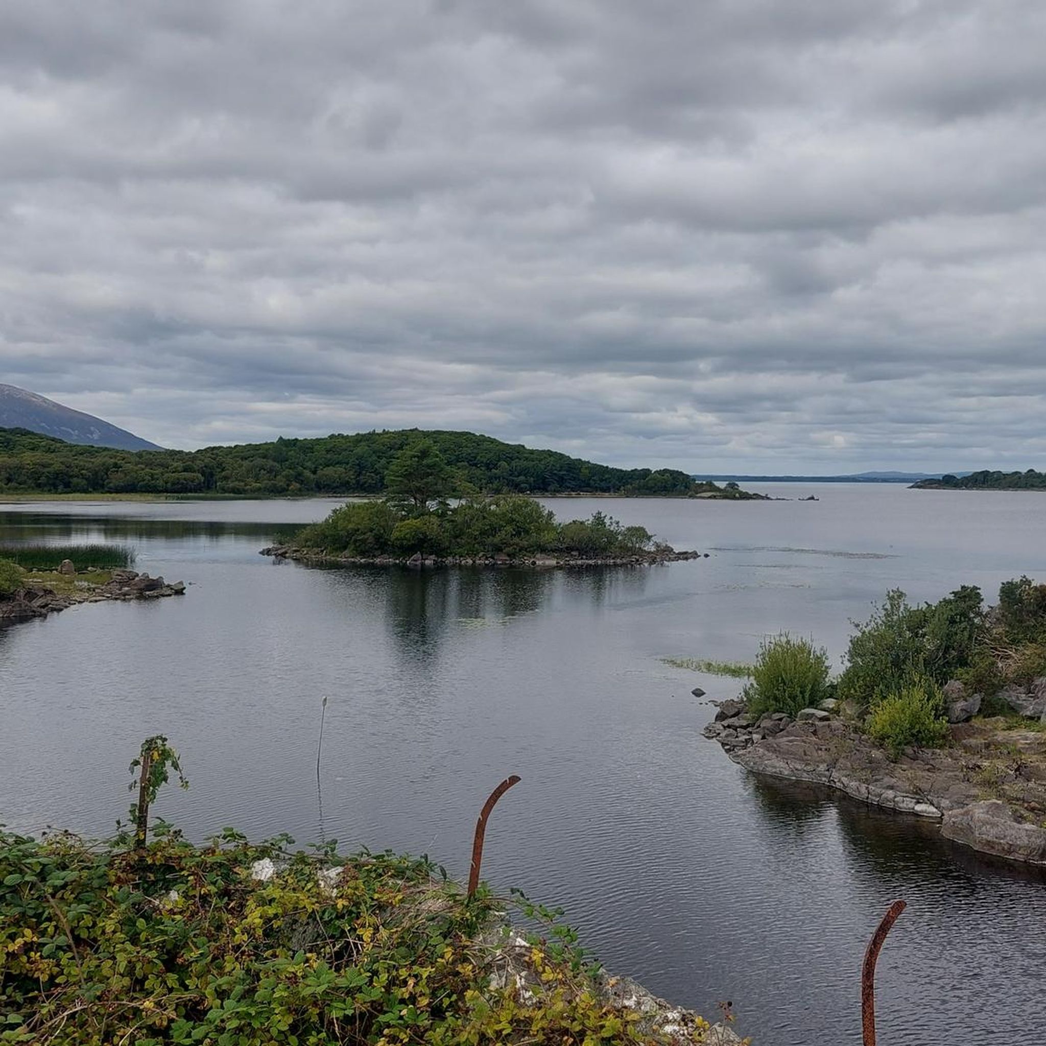
The road passes so close to Lough Cullin, it would be rude not to stop for a break at this viewpoint. It's shallow waters are a popular fishing spot for both trout and salmon.
1
0
The Pontoon Bridge spans the gap between Lough Conn to the north and Lough Cullin to the south. There is a small viewing platform on the Lough Conn side. It is a nice place to stop and enjoy the wooded lakeside scenery.
0
0
You can climb through the narrow gap in the wall to take a closer look at the 13th century Ballylahan Castle. It is rumoured that a tunnel connects the castle with earby Straide Abbey. Both were built by Jordan De Exeter.
1
0
Frequently Asked Questions
What kind of terrain can I expect when touring cycling around Lough Cullin?
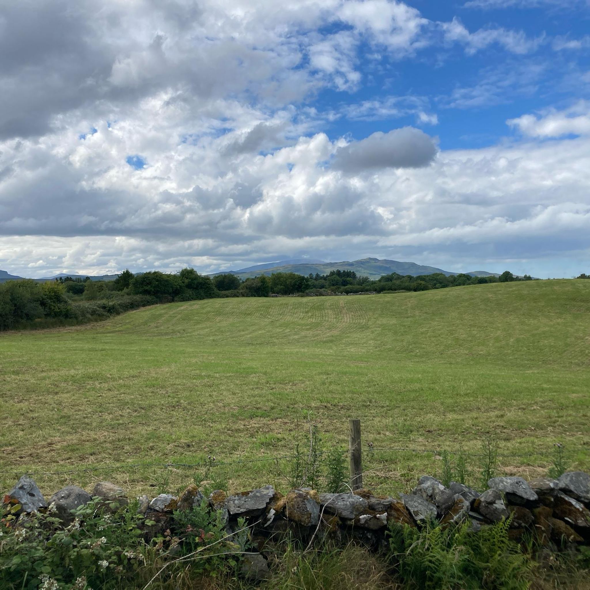
The terrain around Lough Cullin is quite varied, offering a mix of mostly paved surfaces and some routes with elevation gain. You'll find scenic lakeside routes, often passing close to the water, and areas framed by the Nephin and Ox mountains, providing diverse landscapes for cyclists.
Are there touring cycling routes suitable for beginners or those looking for an easy ride?
Yes, Lough Cullin offers easy touring cycling routes. For instance, the Turlough Greenway loop from Ballyvary is an easy 15.9-mile (25.5 km) trail that takes about 1 hour 31 minutes to complete, offering pleasant wooded lakeside scenery.
What natural features and landmarks can I see along the cycling routes?
Cyclists can enjoy stunning natural beauty, including the tranquil waters of Lough Cullin, mountain vistas from the Nephin and Ox ranges, and diverse ecosystems like wetlands and forests. You might also pass by historical sites such as the 13th-century Ballylahan Castle, as seen on the Lough Cullin – Ballylahan Castle loop from Bohola Electoral Division, or the notable Pontoon Bridge which spans between Lough Conn and Lough Cullin.
Are there any moderate touring cycling routes for those seeking a bit more challenge?
Absolutely. Several moderate routes are available, such as the Turlough Greenway loop from Crimlin National School, which is a 19.8-mile (31.9 km) path with varied terrain and views. Another option is the Turlough Greenway loop from Turlough, a 17.0-mile (27.4 km) trail with some elevation gain.
What is the typical elevation gain on touring cycling routes around Lough Cullin?
Elevation gain varies depending on the route. For example, the easy Turlough Greenway loop from Ballyvary has an elevation gain of around 116 meters. More moderate routes, like the Lough Cullin – Turlough Greenway loop from Bohola, can feature an elevation gain of approximately 280 meters, offering a more undulating experience.
Are there any circular touring cycling routes available?
Yes, many of the touring cycling routes around Lough Cullin are designed as loops. Examples include the Turlough Greenway loop from Ballyvary, the Turlough Greenway loop from Crimlin National School, and the Lough Cullin – Ballylahan Castle loop from Bohola Electoral Division, all offering circular journeys.
What do other touring cyclists enjoy most about cycling in Lough Cullin?
The area is highly rated by the komoot community, with an average score of 5.0 stars. Reviewers often praise the scenic lakeside routes, the varied terrain, and the opportunity to immerse themselves in the region's natural beauty, including its wetlands and forests.
Are there options for longer touring cycling routes in the area?
For those looking for a longer ride, the Lough Cullin – Turlough Greenway loop from Bohola covers a distance of 51.4 miles (51.3 km) and is typically completed in just under 3 hours, offering an extended exploration of the region's landscapes.
What is the best time of year to go touring cycling around Lough Cullin?
While specific seasonal data isn't available, the region's natural beauty, including its serene waters and diverse ecosystems, suggests that spring and summer offer pleasant conditions for cycling, with milder weather and lush scenery. Autumn would also provide beautiful foliage, though weather can be more unpredictable.
Are there any villages or towns nearby that offer amenities for cyclists?
Yes, nearby villages such as Foxford and Pontoon serve as convenient points of interest. These villages can offer amenities and a glimpse into local life, making them potential starting or stopping points for your cycling routes around Lough Cullin.
Is parking generally available near the touring cycling routes?
While specific parking locations are not detailed for every route, the presence of villages like Foxford and Pontoon, and starting points like Ballyvary and Crimlin National School, suggests that parking options are likely available in or near these areas to access the routes.

Get inspired with the komoot mobile app


Explore more
Browse the best Cycling routes in other regions.
