The best walks and hikes around Dungloe Lough
4.8
(22)
195
hikers
12
hikes
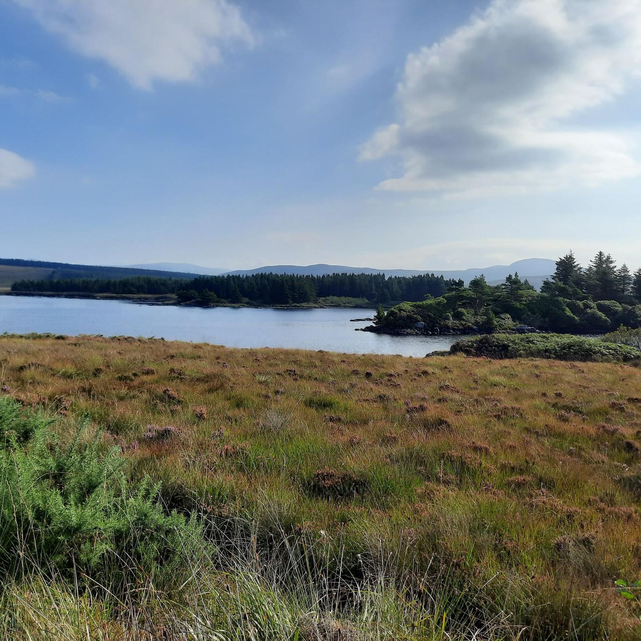
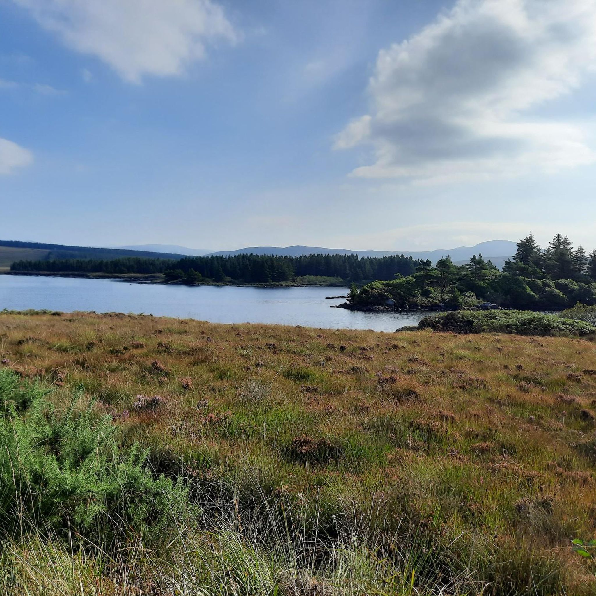
Hiking around Dungloe Lough offers diverse landscapes in County Donegal, Ireland. The area features a significant freshwater lake, approximately 1.5 km long and 1 km wide, with five named islands. The lough drains into the Dungloe River, which forms part of several walking routes. The surrounding region includes picturesque highlands, heather-covered slopes, and fields strewn with boulders, providing a rugged yet scenic environment.
Best hiking trails around Dungloe Lough
- The most popular hiking route is Dungloe River Walk & Cope…
Last updated: June 25, 2026
16
hikers
2.82km
00:43
10m
10m
Easy hike. Great for any fitness level. Easily-accessible paths. Suitable for all skill levels.
4.8
(4)
53
hikers
3.76km
00:58
10m
10m
Easy hike. Great for any fitness level. Easily-accessible paths. Suitable for all skill levels.

Sign up for free
6
hikers
25.4km
06:51
330m
330m
Hard hike. Very good fitness required. Easily-accessible paths. Suitable for all skill levels.
10
hikers
12.0km
03:07
70m
70m
Moderate hike. Good fitness required. Easily-accessible paths. Suitable for all skill levels.
4.3
(7)
20
hikers
15.2km
04:04
190m
190m
Moderate hike. Good fitness required. Easily-accessible paths. Suitable for all skill levels.
Get access to more routes and recommendations from other explorers.
Sign up for free
Already have an account?
Our route recommendations are based on thousands of hikes, rides, and runs completed by other people on komoot.
Start today with a free account
Your next adventure awaits.
Login or Signup
Popular around Dungloe Lough
Tips from the Community

Maghery Beach is a long, quiet beach on the west coast of Donegal, enclosed between low dunes and the open Atlantic Ocean. From here you look out over the rocky islands and the rugged coastline towards Crohy Head. The beach feels wide and empty, with only the sound of the waves and the wind sweeping over the dunes.
5
0
Crohy Head Sea Arch, locally also known as The Breeches, is a striking coastal formation on the rugged cliffs southwest of Dungloe. The arch seen from the cliff is actually the Bristi Sea Stack, one of several natural arches carved out here by Atlantic erosion. The silhouette — a narrow, tall rock with a hollowed-out passage — forms one of Donegal's most recognizable coastal sights. The surroundings consist of steep grassy slopes, dark rocks, and open views towards Maghery and Arranmore.
5
0
At this point, a solitary bench stands with a magnificent view over the rugged coastline of Crohy. You look out over rock plateaus, deep inlets, and the open Atlantic horizon. It is a quiet, sheltered spot where you can pause for a moment and truly appreciate the dramatic shapes of the coast.
7
0

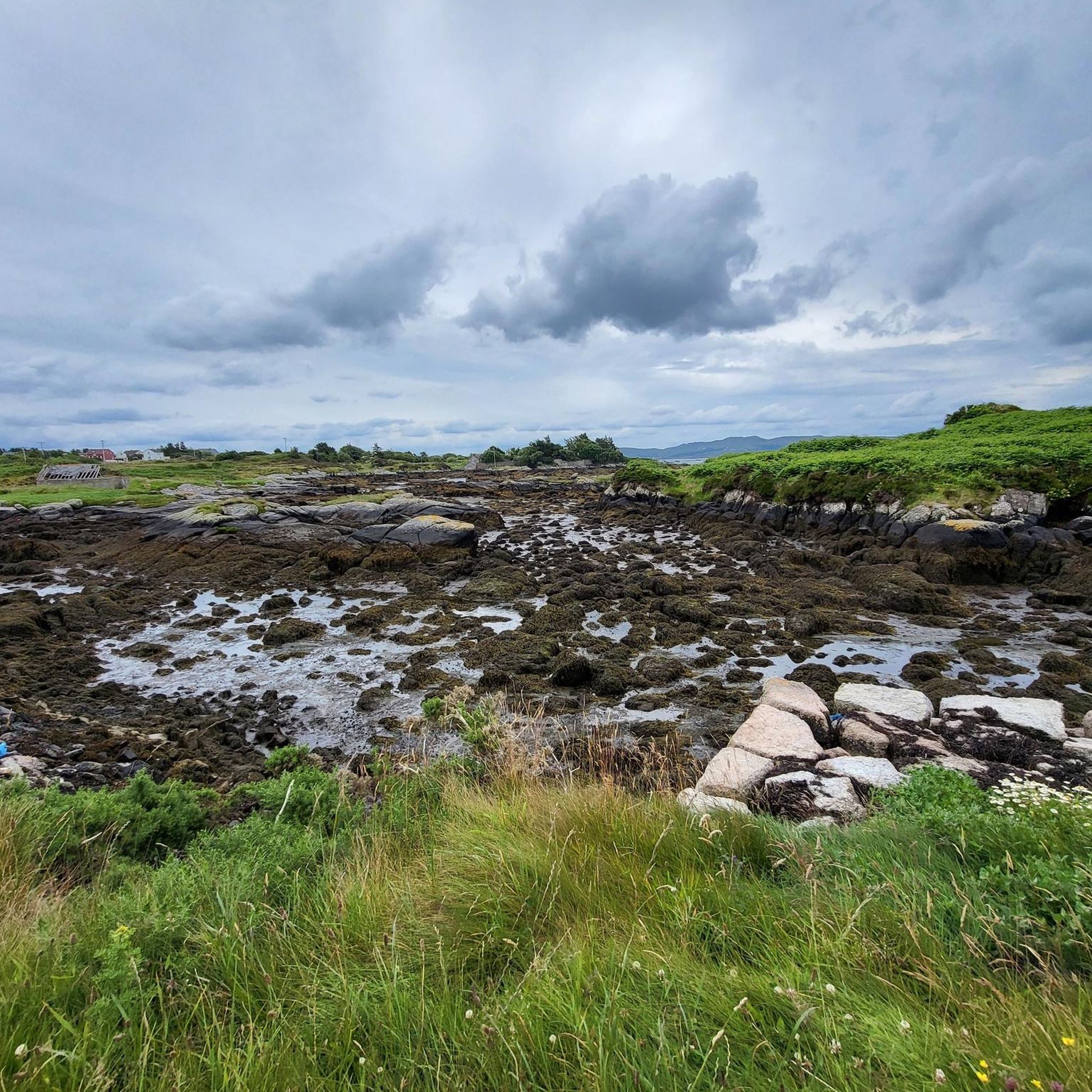
Located on the circular path of the old railway line. Beautiful view, especially at low tide.
0
0
Starting point of the ferry to Aranmore Island. Nice little cute harbor.
0
0
This section of the old route is perfect for a hike. There is some information about the history of the railway and there are lots of benches along the route that are great.
0
0

Tarmac'd trail mostly along the route of the old railway. Originally for transporting fish and seafood brought into Burtonport to Letterkenny and thence across northern Ireland.
0
0
Wintry and open to the elements, but dramatic all the same.
0
0
Frequently Asked Questions
How many hiking trails are available around Dungloe Lough?
There are over a dozen hiking routes around Dungloe Lough, offering a variety of experiences. These range from easy strolls along the lough and river to more challenging coastal and mountain treks. The komoot community has explored 12 distinct routes in the area.
Are there family-friendly hiking options near Dungloe Lough?
Yes, several trails are perfect for families. The Dungloe River Walk & Cope Mountain is a popular choice, featuring a magical woodland with fairy houses and a boardwalk path. Another easy option is the Fairy Houses in the Forest loop from Dungloe, which offers easily accessible paths suitable for all fitness levels.
Are there any circular hiking routes around Dungloe Lough?
Many of the trails around Dungloe Lough are designed as circular routes, allowing you to start and end in the same location. Examples include the Fairy Houses in the Forest loop from Dungloe and the Burtonport Harbour – Nesbit's Bay loop from Dungloe, which offers coastal scenery.
What kind of terrain can I expect on hikes around Dungloe Lough?
The terrain around Dungloe Lough is quite varied. You'll find well-developed paths along the lough's shoreline and the Dungloe River, as well as heather-covered slopes and fields strewn with boulders in more rugged areas. Coastal routes, like those leading to Crohy Head, offer different challenges and views.
Are there any waterfalls to see while hiking in the area?
While not directly on the hiking trails around Dungloe Lough, the beautiful Crolly Waterfall is a short drive away and provides another scenic natural attraction in the broader region of County Donegal.
What are some notable natural features or landmarks to look out for?
Dungloe Lough itself is a significant feature, with five named islands. The Dungloe River, which drains the lough, features an art installation-style bridge. For coastal views, the Crohy Head Sea Arch, locally known as 'The Breeches,' is a striking natural attraction on the Mullaghmullan Peninsula, visible on longer coastal hikes like the Maghery Beach & Crohy Head loop from Dungloe.
Are there options for more challenging or strenuous hikes?
Yes, for those seeking a more strenuous adventure, the Maghery Beach & Crohy Head loop from Dungloe is a difficult 25.4 km hike requiring very good fitness. The broader County Donegal region also offers challenging mountain climbs like Mount Errigal and Muckish Mountain within a short drive.
What do other hikers enjoy most about the trails around Dungloe Lough?
The trails around Dungloe Lough are highly rated by the komoot community, with an average score of 4.8 stars from over 20 reviews. Hikers often praise the diverse landscapes, from tranquil lakeside paths and magical woodlands to rugged coastal scenery, and the variety of options suitable for different fitness levels.
Is there parking available for hikers?
While specific parking details for every trailhead are not provided, Dungloe is a well-known town in County Donegal, and parking facilities are generally available in and around the town, serving as a common starting point for many local walks.
Can I access hiking trails around Dungloe Lough using public transport?
Dungloe is a central hub in the Rosses region of County Donegal, and local bus services connect it to other towns. It's advisable to check local bus timetables for routes that serve the specific trailheads you plan to visit, as some more remote starting points may require private transport.
What is the best time of year to hike around Dungloe Lough?
The area is beautiful year-round, but spring and summer (May to September) generally offer the most pleasant weather for hiking, with longer daylight hours and milder temperatures. Autumn brings vibrant colors to the landscape. Always be prepared for changeable weather conditions typical of County Donegal.
Are there any coastal hiking routes in the area?
Yes, the region offers stunning coastal hikes. The Burtonport Harbour – Nesbit's Bay loop from Dungloe provides moderate coastal scenery and harbour views. For a more challenging coastal experience, the Maghery Beach & Crohy Head loop from Dungloe takes you to dramatic sea cliffs and the Crohy Head Sea Arch.
Most popular routes around Dungloe Lough

Get inspired with the komoot mobile app


Explore more
Browse the best Hikes in other regions.
