The best road cycling routes around Kylemore Lough
4.8
(19)
381
riders
9
rides
Road cycling routes around Kylemore Lough are set within Connemara, County Galway, offering diverse landscapes for cyclists. The region features the Twelve Bens and Maumturk Mountains, providing a backdrop to routes that traverse lakeshores, including Kylemore Lough, Lough Inagh, and Lough Fee. Coastal sections often incorporate views of Killary Harbour, Ireland's only fjord, and the Wild Atlantic Way. The terrain varies from gentle lakeside paths to more challenging mountain ascents.
Best road cycling routes around Kylemore Lough
- The most popular…
Last updated: July 10, 2026
5.0
(6)
64
riders
Easy road ride. Great for any fitness level. Mostly well-paved surfaces and easy to ride.
5
riders
Moderate road ride. Good fitness required. Mostly well-paved surfaces and easy to ride.

Sign up for free
4.8
(4)
122
riders
56.8km
02:28
520m
520m
Moderate road ride. Good fitness required. Mostly well-paved surfaces and easy to ride.
5.0
(1)
39
riders
78.9km
03:14
510m
510m
Moderate road ride. Good fitness required. Mostly well-paved surfaces and easy to ride.
18
riders
19.5km
01:04
170m
170m
Easy road ride. Great for any fitness level. Mostly well-paved surfaces and easy to ride.
Get access to more routes and recommendations from other explorers.
Sign up for free
Already have an account?
Our route recommendations are based on thousands of hikes, rides, and runs completed by other people on komoot.
Start today with a free account
Your next adventure awaits.
Login or Signup
Popular around Kylemore Lough
Tips from the Community

At this spot, the landscape opens up towards Killary Lough, Ireland's only true fjord. From the slight elevation, you see the long, narrow water between the Mweelrea mountains (Mayo) and the Twelve Bens/Maumturks (Galway). The view is broad and clear: a deep, straight fjord valley with steep flanks, tidal water, and often a strikingly silvery light. The road runs here along open peatland and low rocks, causing the fjord to suddenly come fully into view — a classic Connemara moment of space, water, and rugged mountains.
7
0
This is THE postcard moment of your tour through Connemara. From this elevated point along the N59, you have an unobstructed view over the deep blue fjord and the steep walls of the Mweelrea mountain on the other side. It's the perfect spot to get off your bike for a moment, breathe in the salty sea air, and take in the scale of this unique glacial landscape. Don't forget to wave to the dolphins that sometimes swim by in the depths below!
7
0
Killary Fjord (of Killary Harbour) is often called the only true fjord in Ireland, although technically it is one of the three glacial fjords on the island. This deep sea arm cuts 16 kilometres inland, forming the natural border between the counties of Galway and Mayo.
6
0
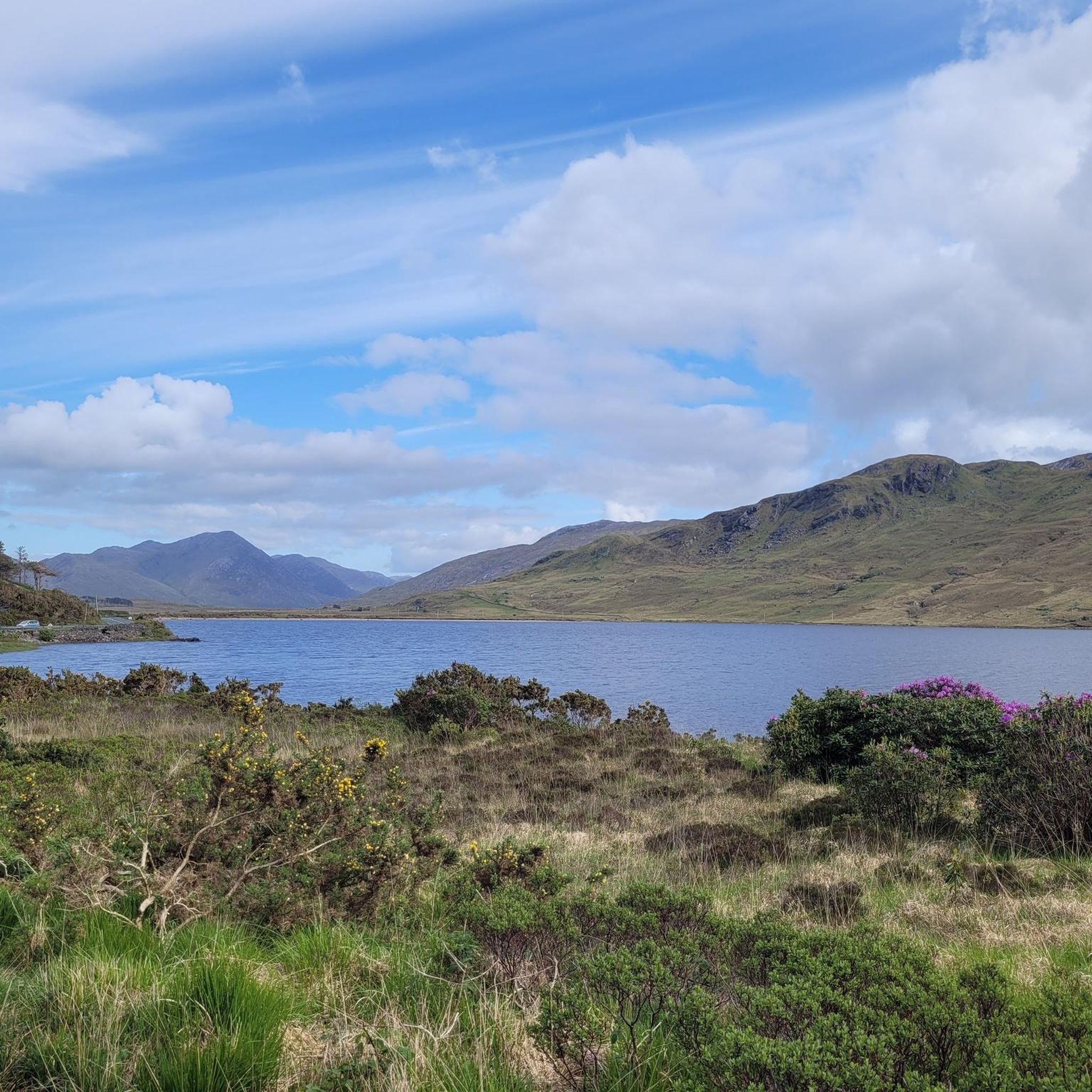
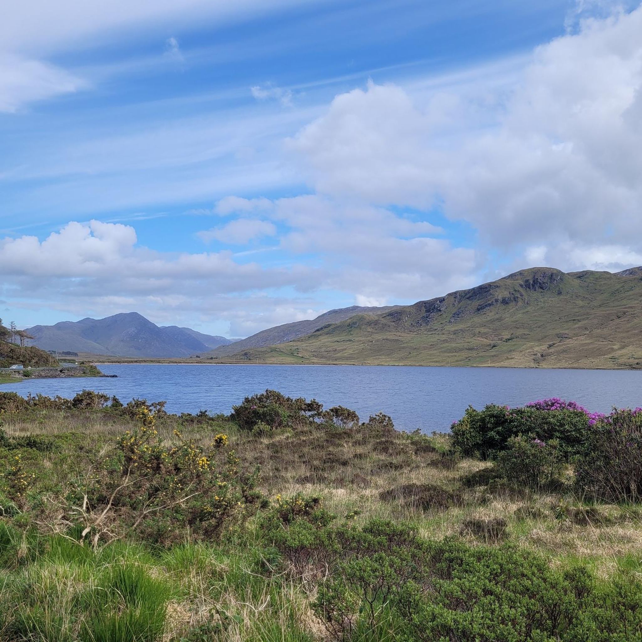
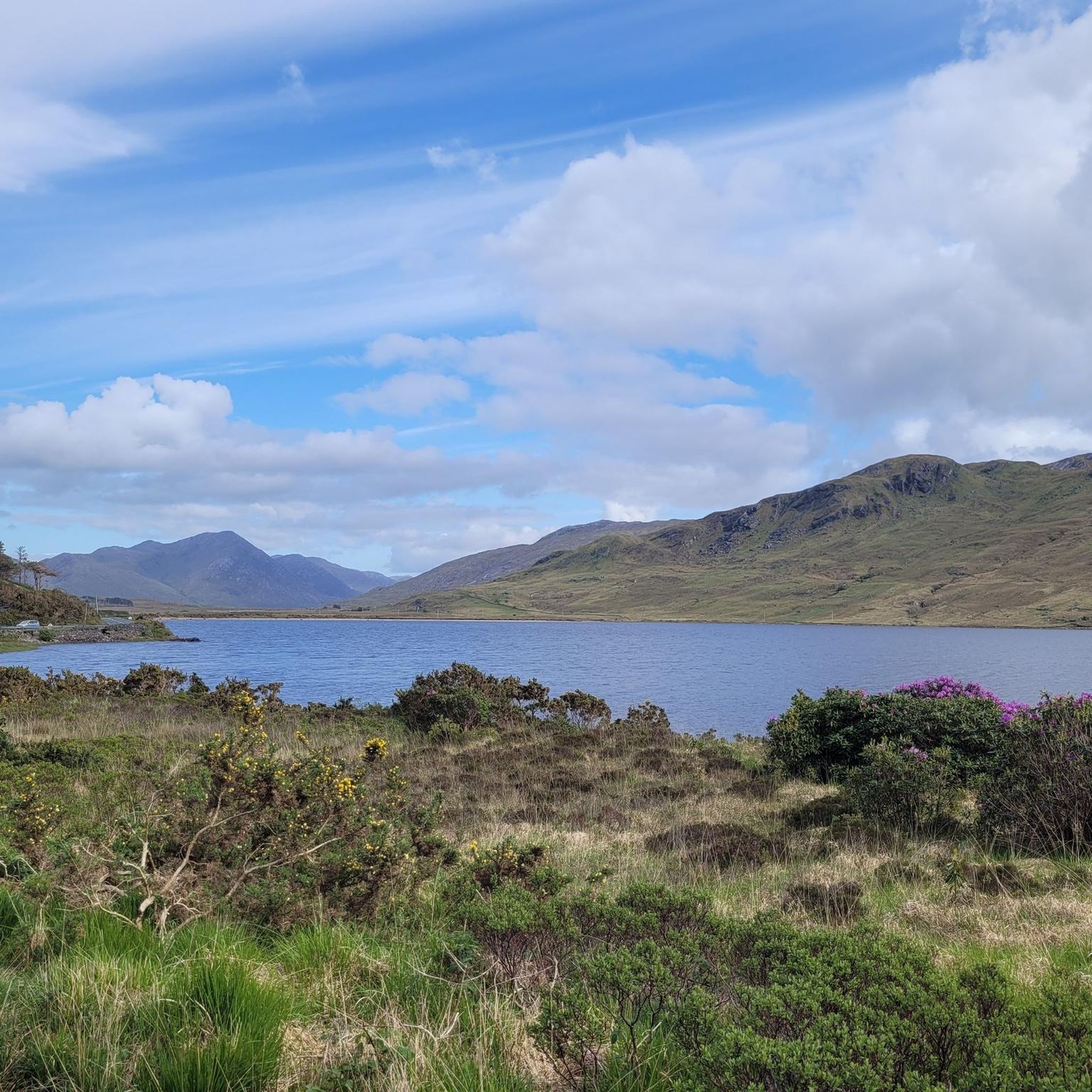
One of the most characteristic Connemara roads: narrow asphalt, slightly undulating, and constantly accompanied by water and low green ridges. Lough Fee lies elongated and open in the landscape. The road runs close to the banks, giving you almost continuous views of water, bog, and the surrounding hills. It feels remote and serene, with broad west coast air and an almost timeless tranquility.
7
0
Long, narrow mountain lake in the northwest of Connemara, formed in a glacial valley between the Mweelrea massif and the lower ridges towards Letterfrack. The water lies in a quiet, remote valley where peat, heather and rock alternate. The shores are largely uninhabited, giving the lake a distinctly wild and natural character.
1
0
One of the most characteristic Connemara roads: narrow asphalt, slightly undulating, and constantly accompanied by water and low green ridges. Lough Fee lies elongated and open in the landscape; a little further on follows Lough Muck, more compact and quieter. The road runs close to the banks, offering almost continuous views of water, peat, and the surrounding hills. It feels remote and serene, with broad west coast air and an almost timeless tranquility.
6
0
At Mullaghgloss, you are precisely on the dividing line between land and water. While the Atlantic Ocean crashes against the rocks to your left, the impressive Gowlaun Hill rises steeply to your right. The slopes, covered with grass and heather, often speckled with white sheep, form a dramatic contrast with the deep blue sea.
6
0
Large parking lot with a view of the nearby pier.
3
0
Frequently Asked Questions
How many road cycling routes are available around Kylemore Lough?
There are currently 9 road cycling routes documented around Kylemore Lough on komoot. These routes cater to various skill levels, with 6 easy and 3 moderate options available for exploration.
What kind of terrain can I expect when road cycling around Kylemore Lough?
Road cycling around Kylemore Lough offers a diverse range of terrain. You'll encounter routes winding through serene lakeshores, with views of Kylemore Lough, Lough Inagh, and Lough Fee. Many routes also feature coastal sections along the Wild Atlantic Way, including spectacular views of Killary Harbour, Ireland's only fjord. Inland, the majestic Twelve Bens and Maumturk Mountains provide a dramatic backdrop, with some routes offering challenging climbs and breathtaking vistas.
Are there routes suitable for beginners or those looking for an easy ride?
Yes, Kylemore Lough offers several easy road cycling routes perfect for beginners or those seeking a relaxed ride. A great option is the Letterfrack, Tully Cross, Croonagh and Owenduff Bridge loop — Connemara National Park, which is 23.2 miles (37.4 km) long and takes about 1 hour 51 minutes to complete. Another easy choice is the Lough Fee – Lough Fee loop from Killary Harbour, a shorter 19.5 km (12.1 miles) route.
What are some longer or more challenging road cycling routes in the area?
For cyclists looking for a greater challenge, Kylemore Lough and the wider Connemara region offer moderate routes with significant distances and elevation gains. The Outlandish landscape – Owenglin River Stone Bridge loop from Glassilaun Beach is a substantial 69.9 miles (112.4 km) route, exploring varied coastal and inland landscapes. Another popular moderate option is the Clifden views – Owenglin River Stone Bridge loop from Letterfrack, covering 35.9 miles (57.7 km) with notable elevation.
Are there any circular road cycling routes around Kylemore Lough?
Yes, many of the road cycling routes around Kylemore Lough are designed as loops, allowing you to start and finish in the same location. Examples include the popular Letterfrack, Tully Cross, Croonagh and Owenduff Bridge loop and the longer Outlandish landscape – Owenglin River Stone Bridge loop from Glassilaun Beach. These circular routes are ideal for exploring the region without needing to retrace your path.
What notable landmarks or attractions can I see while cycling around Kylemore Lough?
The Kylemore Lough area is rich in natural beauty and historical sites. You can cycle past the iconic Kylemore Abbey and its Victorian Walled Garden, a major draw situated directly on the shore of Kylemore Lough. Routes often incorporate sections with views of Connemara National Park, the majestic Twelve Bens and Maumturk Mountains, and the stunning Killary Harbour, Ireland's only fjord. You'll also encounter charming villages like Letterfrack and Leenane, offering amenities and further scenic access.
What do other cyclists say about road cycling in Kylemore Lough?
The road cycling routes around Kylemore Lough are highly rated by the komoot community, with an average score of 4.7 stars from over 16 reviews. Cyclists often praise the stunning natural beauty, the diverse landscapes ranging from mountains to coastlines, and the variety of routes suitable for different fitness levels. Over 360 road cyclists have used komoot to explore this region, highlighting its appeal.
Is Kylemore Lough a good destination for family-friendly cycling?
Yes, Kylemore Lough can be a good destination for family-friendly cycling, especially if you choose the easier, shorter loop routes. The region offers several easy routes, such as the Letterfrack, Tully Cross, Croonagh and Owenduff Bridge loop, which are manageable for families with varying cycling abilities. The scenic beauty and attractions like Kylemore Abbey also provide interesting stops for all ages.
Are there options for food, drink, or accommodation for cyclists in the area?
Yes, the Kylemore Lough area, particularly in nearby villages like Letterfrack and Leenane, offers amenities for cyclists. You'll find cafes, pubs, and various accommodation options to refresh and rest after your rides. Kylemore Abbey itself also has facilities for visitors, including a café. These spots are convenient for refuelling and enjoying local hospitality.
What is the best time of year for road cycling around Kylemore Lough?
The best time for road cycling around Kylemore Lough is generally during the warmer, drier months, typically from late spring through early autumn (May to September). During this period, you're more likely to experience milder temperatures and less rainfall, making for more enjoyable cycling conditions. However, the oceanic climate means weather can be unpredictable, so it's always wise to check the forecast before heading out.
Where can I find more information about cycling in the wider Galway region?
For additional information on cycling routes and experiences in the broader Galway region, you can visit the official Galway Tourism website. They often provide resources and guides for exploring the area. You can find more details at galwaytourism.ie.
Most popular routes around Kylemore Lough

Get inspired with the komoot mobile app


Explore more
Browse the best Road cycling routes in other regions.
