The best road cycling routes around Ballymore Lough
4.6
(13)
245
riders
43
rides
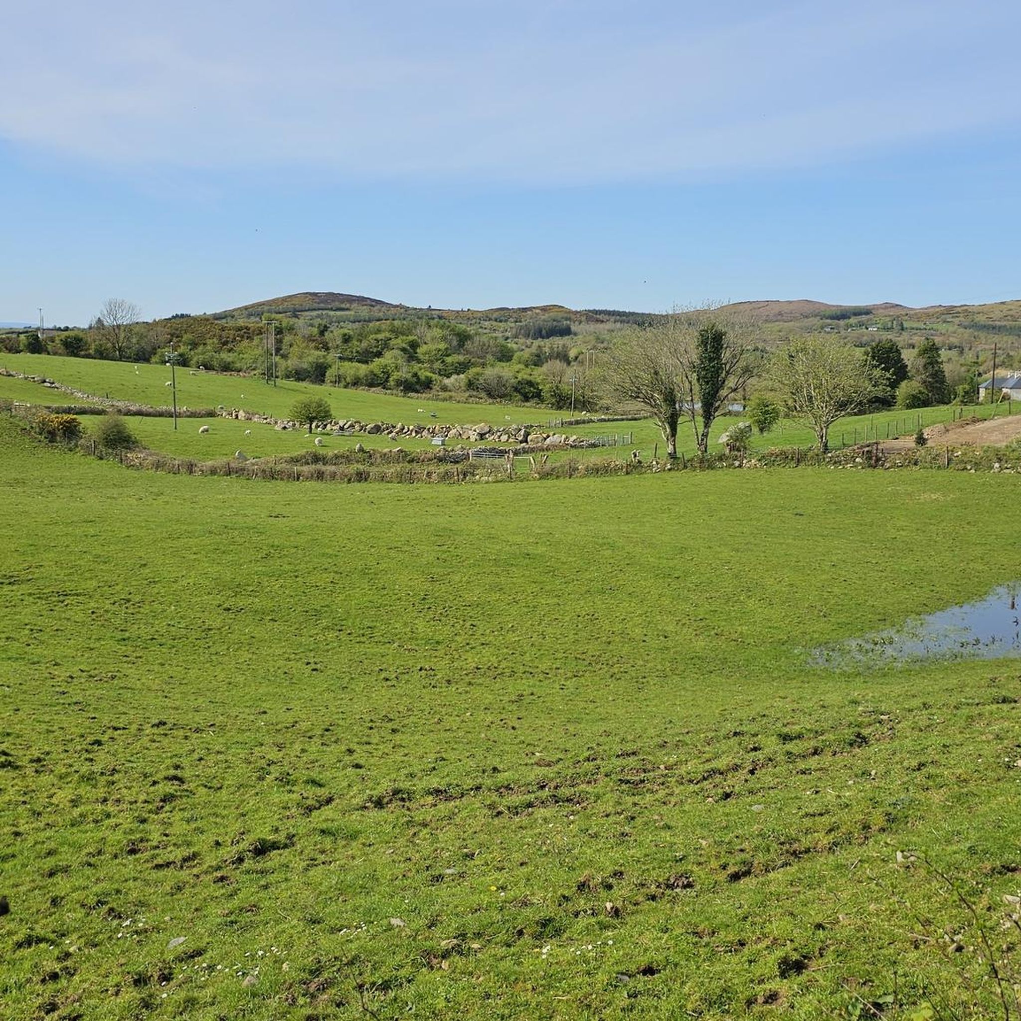
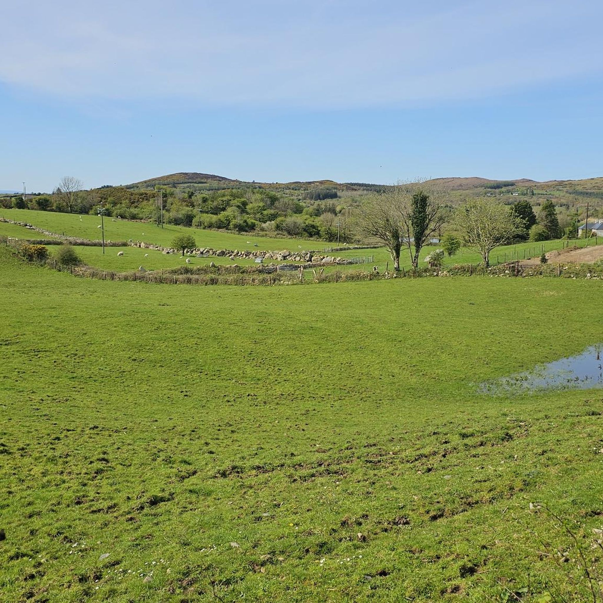
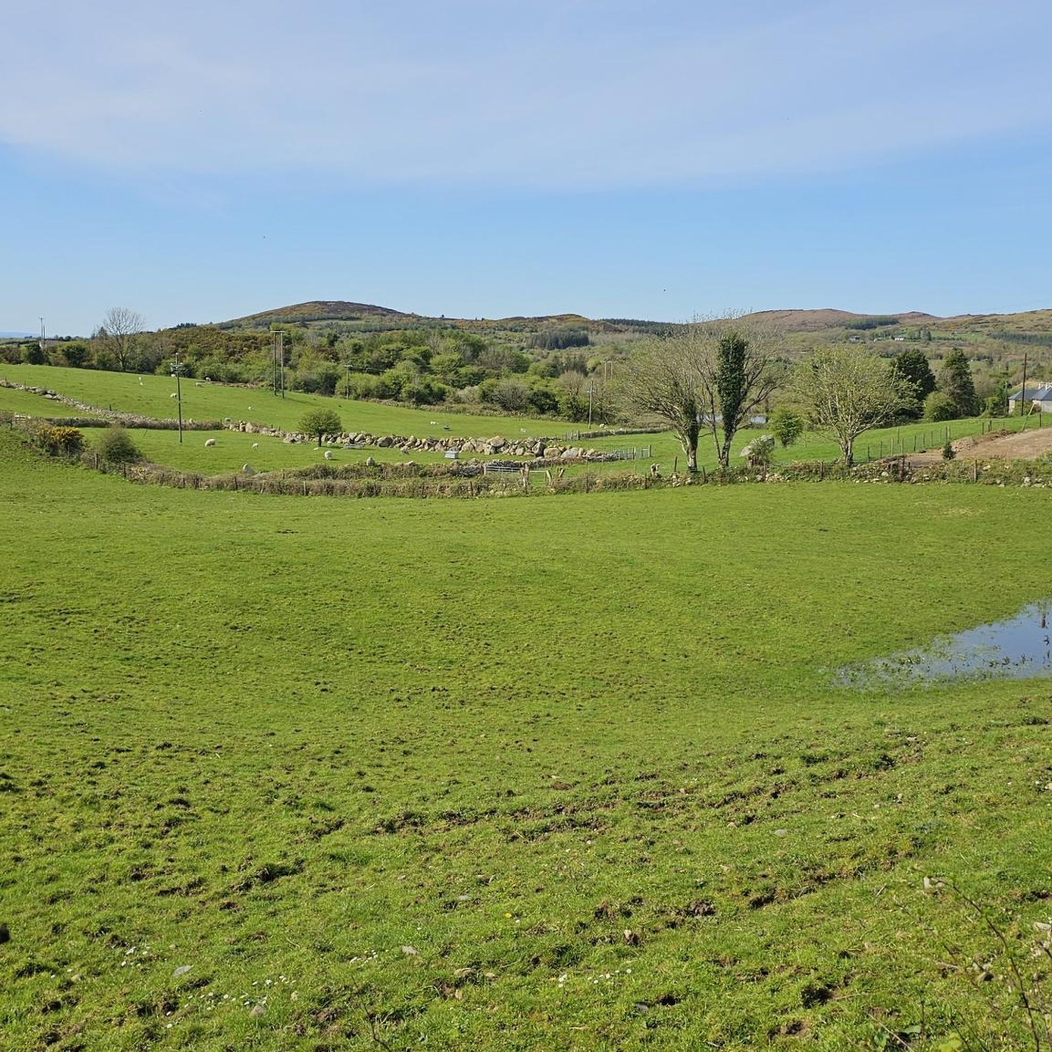
Road cycling routes around Ballymore Lough traverse a landscape characterized by a freshwater lough, rugged scenery, and country roads. The area features views of the Ox Mountains to the east and the River Moy to the west, with Nephin mountain in the background. Cyclists encounter varied terrain, including routes that follow the lough's edge and extend into the broader County Mayo region. This setting provides a mix of flat sections and gentle inclines suitable for road cycling.
Best road cycling…
Last updated: July 12, 2026
5.0
(1)
21
riders
38.0km
01:37
210m
210m
Easy road ride. Great for any fitness level. Mostly well-paved surfaces and easy to ride.
18
riders
116km
04:46
680m
680m
Moderate road ride. Good fitness required. Mostly well-paved surfaces and easy to ride.

Sign up for free
4.0
(2)
17
riders
42.8km
01:43
160m
160m
Easy road ride. Great for any fitness level. Mostly well-paved surfaces and easy to ride.
11
riders
76.3km
03:13
550m
550m
Moderate road ride. Good fitness required. Mostly well-paved surfaces and easy to ride.
10
riders
95.2km
03:56
540m
540m
Moderate road ride. Good fitness required. Mostly well-paved surfaces and easy to ride.
Get access to more routes and recommendations from other explorers.
Sign up for free
Already have an account?
Our route recommendations are based on thousands of hikes, rides, and runs completed by other people on komoot.
Start today with a free account
Your next adventure awaits.
Login or Signup
Tips from the Community

Lough Cullin sounds like a really peaceful and ecologically important place, especially with its connection to Lough Conn and the River Moy system. I didn’t realize how directly it links freshwater habitats to the Atlantic—makes it even more interesting.https://www.metlifedentalproviders.com
0
0

Neo-Gothic cathedral from the 19th century on the banks of the Moy, recognizable by its slender spire from 1855. Seat of the Diocese of Killala and a beautiful landmark in the centre of Ballina. Admire the stunning stained-glass windows inside and enjoy the views of the river and the open space around the cathedral outside.
5
0
Bridge without historical or architectural value. But it does offer a viewpoint over the river and specifically the Muredach Cathedral.
6
0
Ballina, the atmospheric 'Salmon Capital of Ireland', is beautifully situated at the mouth of the River Moy in County Mayo. The city breathes history with its Georgian architecture, the imposing 19th-century St. Muredach’s Cathedral, and the world-famous Jackie Clarke Collection. Nature lovers can indulge themselves in Belleek Woods, one of Europe's largest urban forests, where, alongside idyllic walking paths, you'll also find the mysterious concrete shipwreck of the SS Creteboom. As a gateway to the Wild Atlantic Way, Ballina is the ideal base for a visit to the spectacular sea stack of Downpatrick Head or the prehistoric Céide Fields.
5
0
Ballycastle is a atmospheric resting point on EuroVelo 1, where Irish hospitality merges with spectacular scenery. This "village of the castle" is surrounded by 5000 years of history, from prehistoric field systems to early Christian monuments. Cycle through the colourful main street, enjoy the view over Bunatrahir Bay and use this lively spot as a springboard to the nearby cliffs and sea stacks. An essential stop for any cyclist wanting to experience the untamed beauty of the Wild Atlantic Way. In the village, you will find local shops and cosy eateries such as Mary’s Cottage Kitchen (known for their homemade cakes) and June’s Café.
5
0
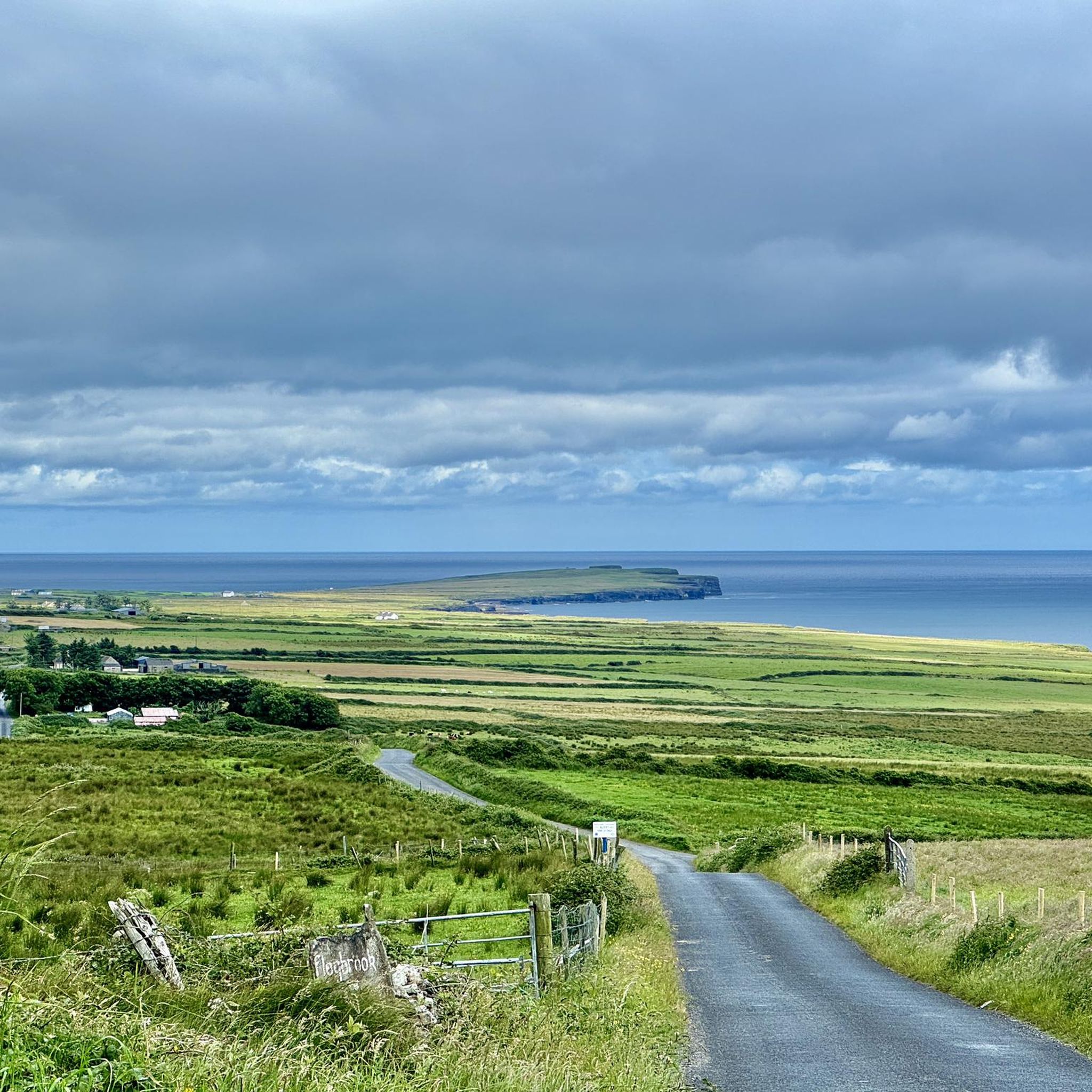
Across the road from the prehistoric Céide Fields, you'll find this impressive viewing platform. You are literally standing on the edge of the world, 110 meters above the roaring Atlantic Ocean. Enjoy the sweeping panorama of the rugged coastline of North Mayo, with the jagged rock points of the Stags of Broadhaven and the iconic sea stack of Downpatrick Head in the distance. An essential stop on the EuroVelo 1 to experience the raw power and scale of the Irish west coast.
6
0
Located on a hilltop, the extensive archaeological site offers a glimpse into the history of the Mayo region since prehistoric times. Although the excavations themselves may not be of great interest to the layman, the reconstruction of a 5500-year-old settlement, the explanation of the gradual formation of the peat bogs, and a beautiful film about the natural wonders of the area make the visit fascinating.
7
0
Route along the main road with open views of the wide Moy estuary. You follow the river at some height, giving you long lines of sight over the water and the tidal flats. Less peaceful than the other side, but a clear, fast connection towards Ballina with continuous views of the estuary.
5
0
Frequently Asked Questions
How many road cycling routes are available around Ballymore Lough?
There are over 45 road cycling routes available around Ballymore Lough and the surrounding County Mayo region. These routes offer a variety of distances and difficulty levels, catering to different cycling preferences.
What kind of terrain can I expect when road cycling near Ballymore Lough?
Road cycling around Ballymore Lough features a mix of terrain. You'll find routes with freshwater lough views, rugged scenery, and quiet country roads. The area includes both flat sections and gentle inclines, with views of the Ox Mountains to the east and the River Moy to the west, often with Nephin mountain in the background.
Are there any easy road cycling routes suitable for beginners or families?
Yes, Ballymore Lough offers several easy road cycling routes. For instance, the Lough Cullin – Lough Cullin loop from Ballina is an easy 26.0-mile (41.9 km) trail that takes about 1 hour 40 minutes, leading through country roads with views of freshwater loughs. Many routes are suitable for those looking for a less challenging ride.
What historical landmarks or natural features can I see along the road cycling routes?
The area is rich in both history and natural beauty. You can cycle past the ruins of Kildermot Abbey, a 13th-century foundation, and the ancient Old Killeen graveyard. In the middle of Ballymore Lough, a crannog (a medieval defensive settlement) can be seen. Natural features include the lough itself, the Ox Mountains, the River Moy, and views of Nephin mountain.
What do other road cyclists enjoy most about cycling in Ballymore Lough?
The road cycling routes in Ballymore Lough are highly rated by the komoot community, with an average score of 4.3 stars. Cyclists often praise the combination of freshwater lough views, the rugged scenery, and the quiet country roads that provide a peaceful and engaging riding experience.
Are there any longer or more challenging road cycling routes in the area?
For those seeking longer or more challenging rides, options like the Céide Fields – Palmerston Bridge loop from Ballina offer a moderate 70.9-mile (114.1 km) path with extensive views of the diverse landscape, including coastal areas. Another moderate option is the Ballina – Crossmolina loop from Ballina, covering 75.9 miles (122.2 km).
Is Ballymore Lough suitable for road cycling year-round, or is there a best time to visit?
County Mayo, where Ballymore Lough is located, generally offers good cycling conditions from spring through autumn. While cycling is possible year-round, the milder weather and longer daylight hours during these seasons typically provide the most enjoyable experience for road cyclists.
Where can I find parking for road cycling routes around Ballymore Lough?
While specific designated cycling parking areas are not detailed, general parking can often be found in nearby towns and villages such as Attymass or Ballina, which serve as common starting points for many routes. It's advisable to check local parking availability upon arrival.
Are there any circular road cycling routes around Ballymore Lough?
Yes, many of the road cycling routes in the area are designed as loops, allowing you to start and end in the same location. For example, the popular Crossmolina – Carrowkilleen loop from Ballina is a moderate 41.5-mile (66.7 km) circular trail.
Can I find cafes or pubs near the road cycling routes for a break?
The routes often pass through or near towns and villages in County Mayo, such as Attymass and Ballina. These locations typically offer amenities like cafes and pubs where cyclists can take a break, refuel, and enjoy local hospitality.
What is the longest road cycling route available in the Ballymore Lough area?
One of the longest routes is the Céide Fields – Palmerston Bridge loop from Ballina, which spans 70.9 miles (114.1 km). This moderate route provides an extensive journey through the diverse landscapes of the region.
Are there any road cycling routes that offer views of other loughs besides Ballymore Lough?
Yes, several routes provide views of multiple freshwater loughs. The Lough Cullin – Lough Cullin loop from Ballina, for example, specifically highlights views of Lough Cullin, offering a different perspective of the region's natural water features.
Most popular routes around Ballymore Lough

Get inspired with the komoot mobile app


Explore more
Browse the best Road cycling routes in other regions.
