The best mountain hikes around Schwarzenbach-Talsperre
4.0
(4)
21
hikers
1
hike
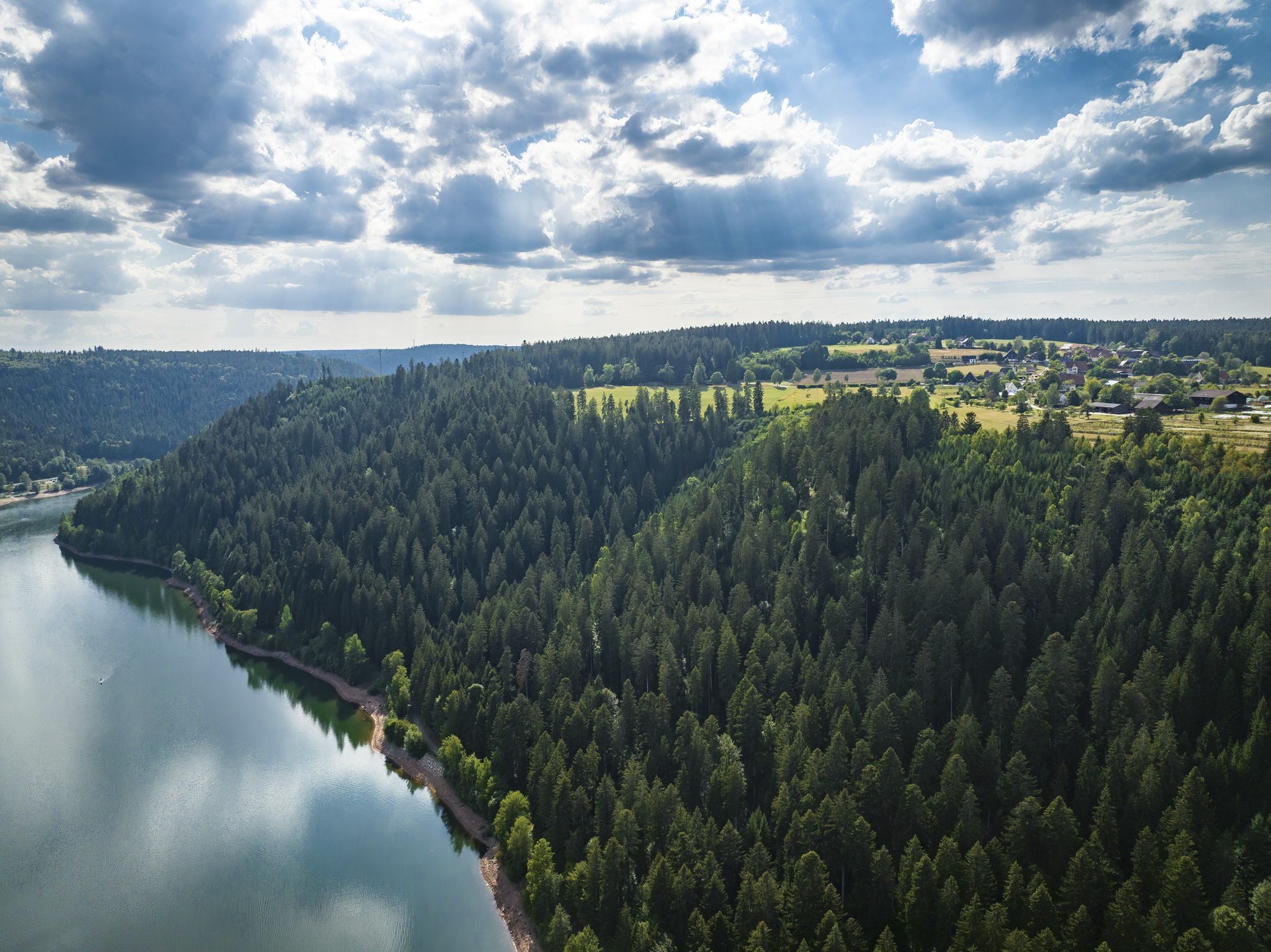
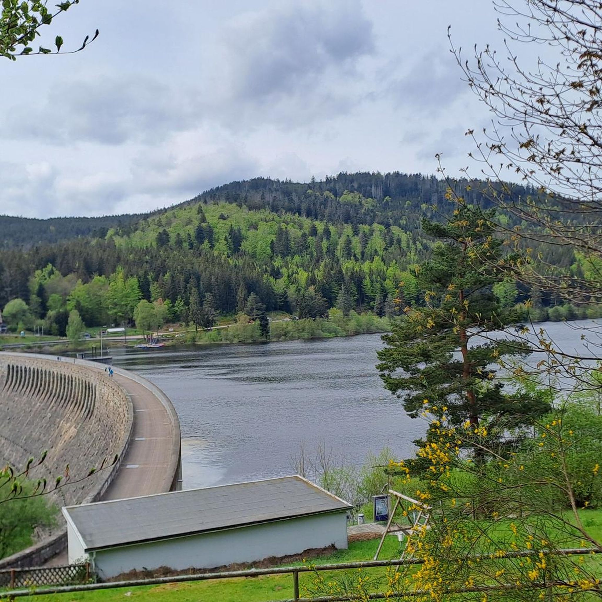
Mountaineering routes around Schwarzenbach-Talsperre traverse a landscape characterized by dense fir forests, undulating hills, and the significant Schwarzenbach Dam reservoir. The region, nestled in the Northern Black Forest, offers challenging trails that appeal to those seeking demanding treks rather than technical climbing. Steep ascents and varied terrain are common, providing a rewarding experience for mountaineers. The Murg Valley also contributes wild and romantic landscapes with steep slopes.
Best mountaineering routes around Schwarzenbach-Talsperre
- The most popular mountaineering route is Hornisgrinde Tower – Mummelsee loop from Hinterlangenbach, a 7.7 miles (12.5 km) trail that takes 4 hours 0 minutes to complete. This moderate route offers views of the reservoir and surrounding forests.
- Another top favourite among local mountaineers is Mummelsee – Hornisgrinde Tower loop from Hinterlangenbach, a moderate 8.7 miles (14.0 km) path. This trail features varied terrain and elevated perspectives of the Black Forest.
- Local mountaineers also love the Zimmerplatz Neuweier Trailhead – Brahms Fountain loop from Wanderparkplatz Malschbach, an 8.0 miles (12.9 km) trail leading through dense fir forests, often completed in about 3 hours 54 minutes.
- Mountaineering around Schwarzenbach-Talsperre is defined by dense fir forests, undulating hills, and the prominent reservoir. The network offers options for different ability levels, with many routes providing challenging ascents and descents.
- The routes in Schwarzenbach-Talsperre are highly rated by the komoot community with an average score of 5.0 stars from over 2 reviews. More than 20 mountaineers have used komoot to explore Schwarzenbach-Talsperre's varied terrain.
Last updated: August 25, 2026
5.0
(2)
6
hikers
12.5km
04:01
470m
470m
Moderate mountaineering route. Good fitness required. Mostly accessible paths. Sure-footedness required.
5.0
(1)
3
hikers
13.5km
04:19
480m
480m
Moderate mountaineering route. Good fitness required. Mostly accessible paths. Sure-footedness required.

Sign up for free
1
hikers
Moderate mountaineering route. Good fitness required. Easily-accessible paths. Suitable for all skill levels.
2.0
(1)
8
hikers
10.9km
03:37
370m
370m
Moderate mountaineering route. Good fitness required. Mostly accessible paths. Sure-footedness required.
3
hikers
13.0km
04:02
410m
410m
Moderate mountaineering route. Good fitness required. Mostly accessible paths. Sure-footedness required.
Our route recommendations are based on thousands of hikes, rides, and runs completed by other people on komoot.
Start today with a free account
Your next adventure awaits.
Login or Signup
Popular around Schwarzenbach-Talsperre

Coolcation in the Black Forest – hiking and cooling off in summer
Trekking Schwarzwald 8-day tour from Forbach to Alpirsbach
Trekking Black Forest 7-day tour from Forbach to Biberach
Trekking Schwarzwald 6-day tour from Forbach to Gengenbach
Trekking in the Black Forest 4-day tour to camps Seibelseckle, Grimbach & Schwarzenbach
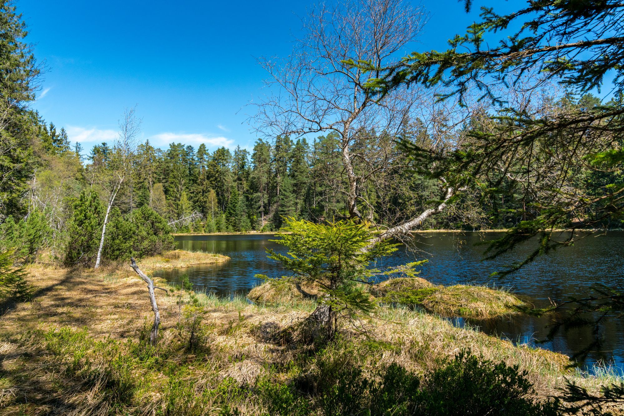
Trekking Schwarzwald 3-day tour to the Camps Grimbach and Schwarzenbach
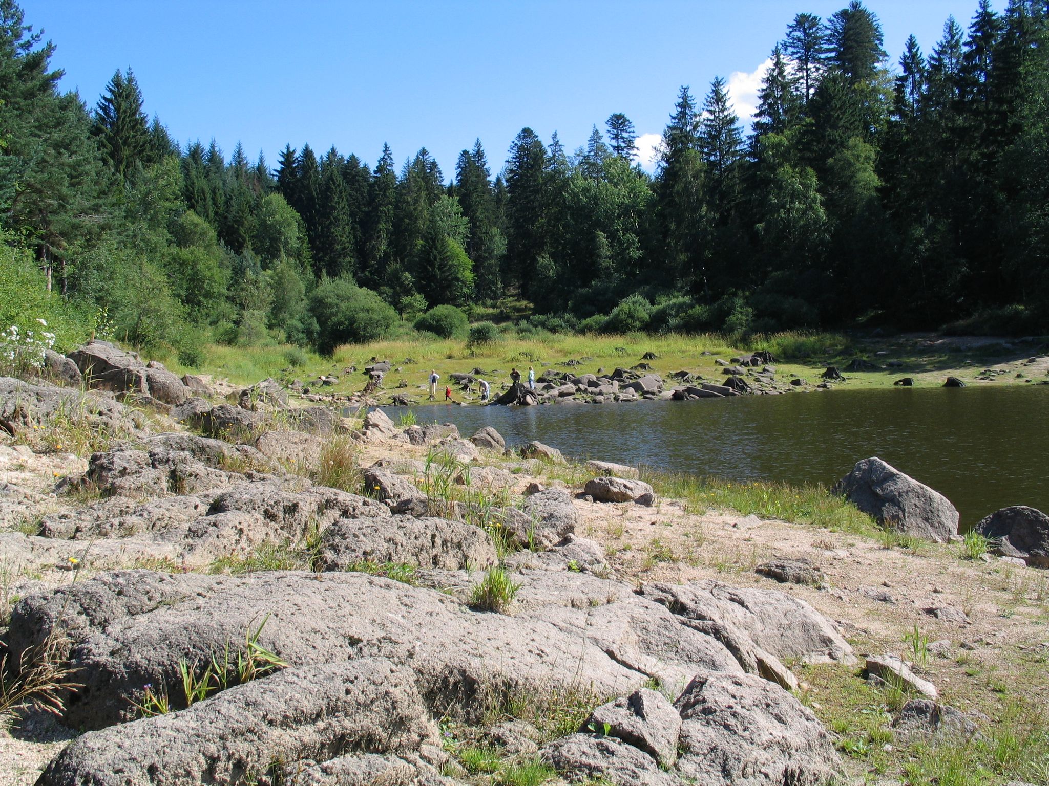
Trekking in the Black Forest - 3-day loop tour to the camps Grimbach and Schwarzenbach
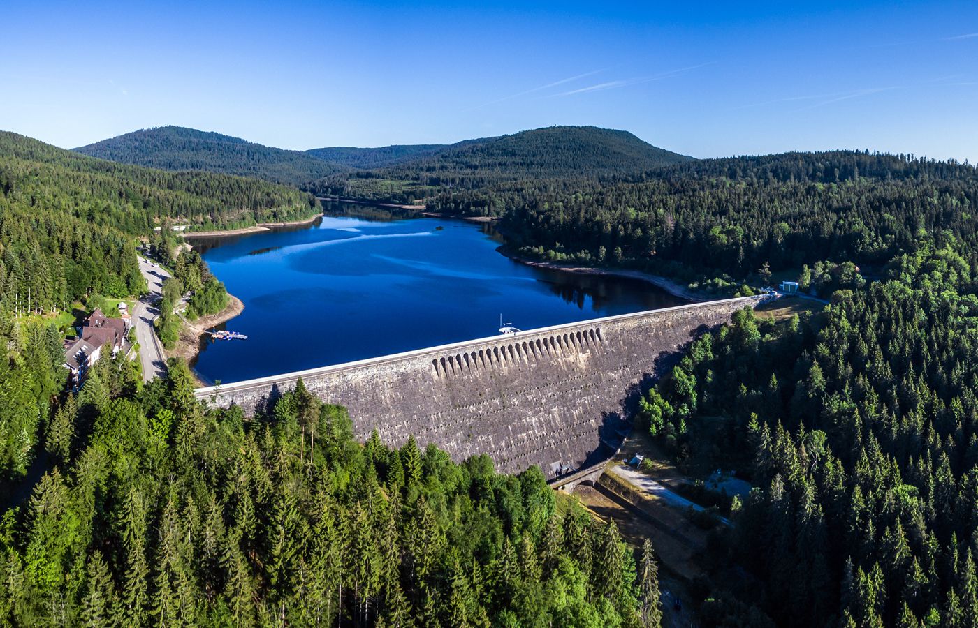
Trekking in the Black Forest, 2-day tour to Camp Schwarzenbach
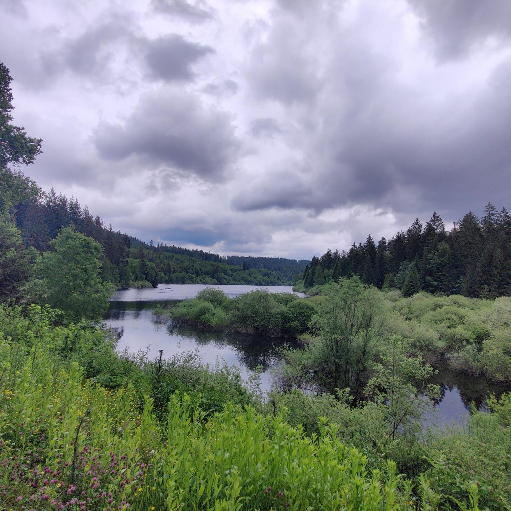
Cycling around Schwarzenbach-Talsperre
Road Cycling Routes around Schwarzenbach-Talsperre
Other adventures around Schwarzenbach-Talsperre


Tips from the Community

The SWR transmission tower reaches far into the sky.
1
0

During the last ice age (approx. 70,000 to 10,000 years ago), the entire Hornisgrinde area was covered by a firn cap, i.e. snow that became denser and more compact due to the pressure of new snow masses and repeated melting and freezing. On the eastern flank of the Hornisgrinde, more snow accumulated in the area of (spring) niches than in the immediate surroundings. Over time, small hanging glaciers formed, which carved out two hollows (cirques) from the Bunter Sandstone cliff: the Kleine and Große Biberkessel. After the ice retreated, a lake formed in both cirques. The lake in the Große Biberkessel has long since silted up, whereas in the Kleine Biberkessel – in a moorland area – a small remnant lake still exists. Like many other silting-up or endorheic lakes in the Black Forest, it is called a "Blindsee" (blind lake).
0
0

Authentic craftsmanship at Mummelsee. Fresh wood-fired bread from the Backhäusle.
0
0

During the "Seebach - Hornisgrinde-MTB Panoramatour", here was a welcome opportunity for a refreshing drinking break. The Grinde-Hütte is characterized by its attractive scenic location and a very inviting and friendly area, which also offers gastronomic services.
0
0

Finally up close to the tower
0
0

The bread is very tasty. I can recommend it.
1
0


A massive wooden bridge nestled in a jungle-like ravine forest. Surrounded by rhododendrons, ferns, and moss-covered stones—especially beautiful in spring.
8
0
Frequently Asked Questions
What kind of mountaineering routes can I expect around Schwarzenbach-Talsperre?
The region offers challenging and strenuous hiking experiences rather than technical climbing. You'll find routes traversing dense fir forests, undulating hills, and the prominent Schwarzenbach Dam reservoir. Many trails feature steep ascents and descents, providing a rewarding experience for those who appreciate demanding treks.
Are there any circular mountaineering routes in the area?
Yes, several routes are designed as loops. For example, the Hornisgrinde Tower – Mummelsee loop from Hinterlangenbach is a popular moderate trail offering views of the reservoir and surrounding forests. Another option is the Mummelsee – Hornisgrinde Tower loop from Hinterlangenbach, which features varied terrain and elevated perspectives of the Black Forest.
What are the typical difficulty levels of mountaineering routes here?
The mountaineering routes around Schwarzenbach-Talsperre are generally considered moderate, offering a good balance of challenge and accessibility. They often involve varied terrain with steep paths and narrow sections, appealing to those seeking a physically demanding hike.
What natural features and landmarks can I see along the routes?
The centerpiece is the impressive Schwarzenbach Dam and its reservoir. You can also explore the wild and romantic landscapes of the Murg Valley, dense fir forests, and various viewpoints offering spectacular panoramas. Don't miss the Schwarzenbach Dam Educational Trail for insights into its construction.
What do other mountaineers say about the routes in Schwarzenbach-Talsperre?
The routes in Schwarzenbach-Talsperre are highly rated by the komoot community, with an average score of 5.0 stars. Mountaineers often praise the varied terrain, the stunning views of the reservoir, and the immersive experience within the dense Black Forest.
Are there any family-friendly mountaineering options?
While many routes are challenging, the region offers a popular 6.5-kilometer circular path around the reservoir that is generally suitable for families. This path provides fantastic views, shady forest sections, and open panoramic areas, making it a pleasant experience for various ages.
Can I bring my dog on the mountaineering trails?
Yes, the extensive network of hiking and cycling trails around Schwarzenbach-Talsperre is generally dog-friendly. Many paths wind through forests and along the reservoir, providing a great environment for you and your canine companion to explore together. Always ensure your dog is on a leash and respect local regulations.
What is the best time of year to go mountaineering in Schwarzenbach-Talsperre?
The region is beautiful year-round. While warmer months (May to September) are ideal for enjoying the reservoir and longer days, the dense forests and undulating hills offer a captivating setting in spring and autumn with vibrant foliage. Winter mountaineering is also possible, but requires appropriate gear and caution due to snow and ice.
Are there any viewpoints along the mountaineering routes?
Absolutely. Several viewpoints, such as 'Blick ins Tal' and 'Schwarzenbacher Blick', offer spectacular panoramas over the reservoir and the expansive Ore Mountains. The dam wall itself also provides impressive views into the valley and across the lake. The Hornisgrinde Summit – Mummelsee loop from Unterstmatt also offers elevated perspectives.
Where can I find parking for the mountaineering routes?
While specific parking details for every trailhead are not listed, the region is well-equipped for visitors. Look for designated Wanderparkplätze (hiking car parks) near popular starting points like Hinterlangenbach or Malschbach, which serve routes such as the Zimmerplatz Neuweier Trailhead – Brahms Fountain loop.
Are there any facilities like cafes or accommodation near the trails?
The Schwarzenbach-Talsperre area, being a popular outdoor destination, has amenities available. While specific cafes directly on every trail are not guaranteed, you can find options in nearby towns within the Murg Valley. There are also trekking camps, such as Camp Schwarzenbach, for multi-day treks.
How long do the mountaineering routes typically take to complete?
The duration varies depending on the route and your pace. For example, the Hornisgrinde Tower – Mummelsee loop from Hinterlangenbach typically takes around 4 hours, while the Hornisgrinde Summit – Mummelsee loop from Unterstmatt might take closer to 4 hours and 30 minutes for its 12.9 km distance.
Most popular routes around Schwarzenbach-Talsperre
Most popular attractions around Schwarzenbach-Talsperre

Get inspired with the komoot mobile app


Explore more
Browse the best Mountain Hikes & Routes in other regions.
