The best walks and hikes around Hornbergbecken
4.5
(6311)
23,303
hikers
750
hikes
Hiking around Hornbergbecken offers diverse landscapes within the Hotzenwald region of the Black Forest. The area features the Hornbergbecken reservoir, Germany's highest-situated, integrated into a natural setting with approximately 40,000 planted trees and shrubs. The surrounding Black Forest region includes idyllic meadow landscapes, dense forest areas reaching nearly 1000 meters, and rugged granite rocks. These varied terrains provide a range of hiking experiences.
Best hiking trails around Hornbergbecken
- The most popular hiking route is View of Herrischried – Ödland Chapel…
Last updated: July 1, 2026
5.0
(3)
15
hikers
Easy hike. Great for any fitness level. Easily-accessible paths. Suitable for all skill levels.
4.5
(18)
69
hikers
Easy hike. Great for any fitness level. Easily-accessible paths. Suitable for all skill levels.

Sign up for free
4.5
(2)
9
hikers
Moderate hike. Good fitness required. Easily-accessible paths. Suitable for all skill levels.
3.0
(1)
6
hikers
5.43km
01:30
90m
90m
Easy hike. Great for any fitness level. Easily-accessible paths. Suitable for all skill levels.
4.5
(15)
41
hikers
14.5km
04:38
580m
580m
Moderate hike. Good fitness required. Easily-accessible paths. Suitable for all skill levels.
Get access to more routes and recommendations from other explorers.
Sign up for free
Already have an account?
Our route recommendations are based on thousands of hikes, rides, and runs completed by other people on komoot.
Start today with a free account
Your next adventure awaits.
Login or Signup
Tips from the Community

Highest point in the Hotzenwald. 1034 m above sea level
0
0

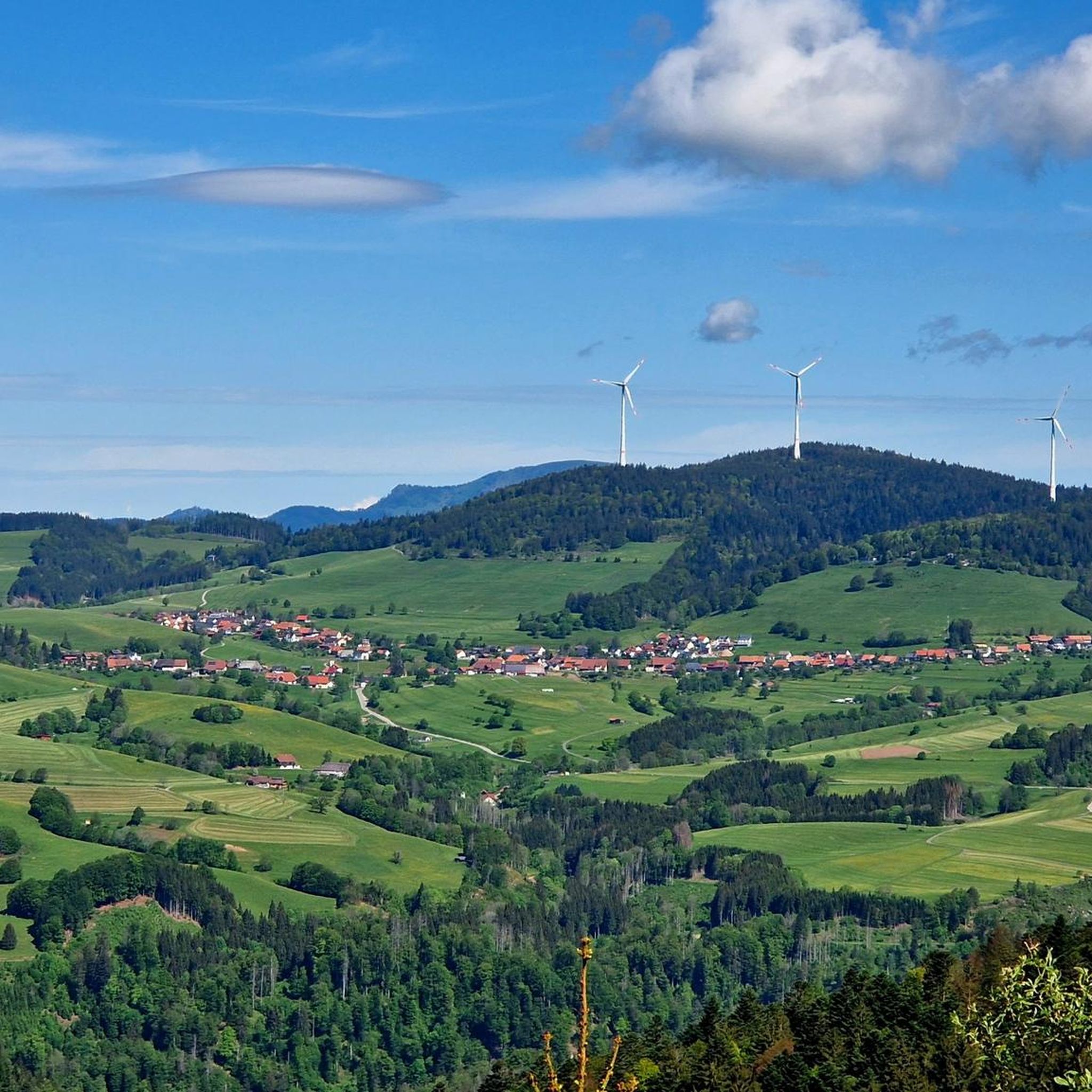
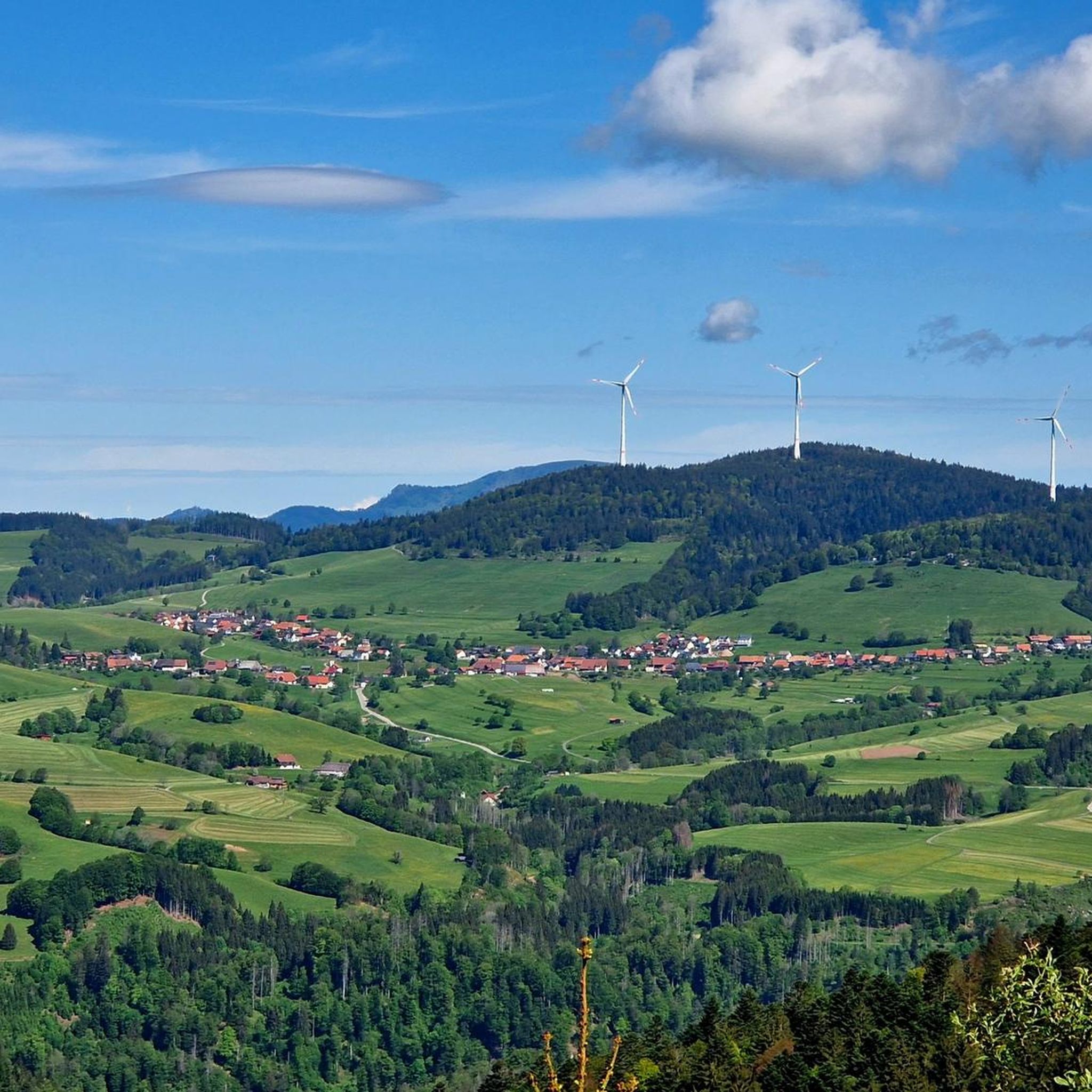
This was the highest view of the tour today. Besides the technical aspects described, the view is also impressive!
0
0

The Hornberg Basin near Herrischried is Germany's highest reservoir and part of the Wehr pumped-storage power plant. A variety of trails lead around the basin through the extensively planted landscape, which, upon completion, was designed with around 40,000 trees and shrubs. There are also numerous other hiking options and refreshment stops nearby.
1
0
The Ödlandkapelle is a true gem in the Hotzenwald and has a eventful history. In 1780, the farmers of Herrischried built a chapel here out of gratitude after their cattle were spared from the cattle plague. After a fire, the current stone pilgrimage chapel, dedicated to the Holy Cross, was built in 1897. Every year on the first Sunday in September, a pilgrimage mass brings life to this special place.
1
0

a nice place with a bench
0
0
The Hornberger Becken is not directly on the Hotzenwälder Höhenweg, but the short detour is worth it
0
0
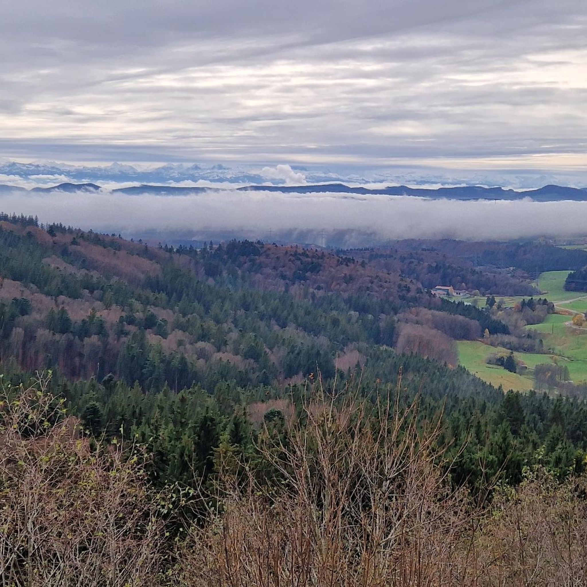
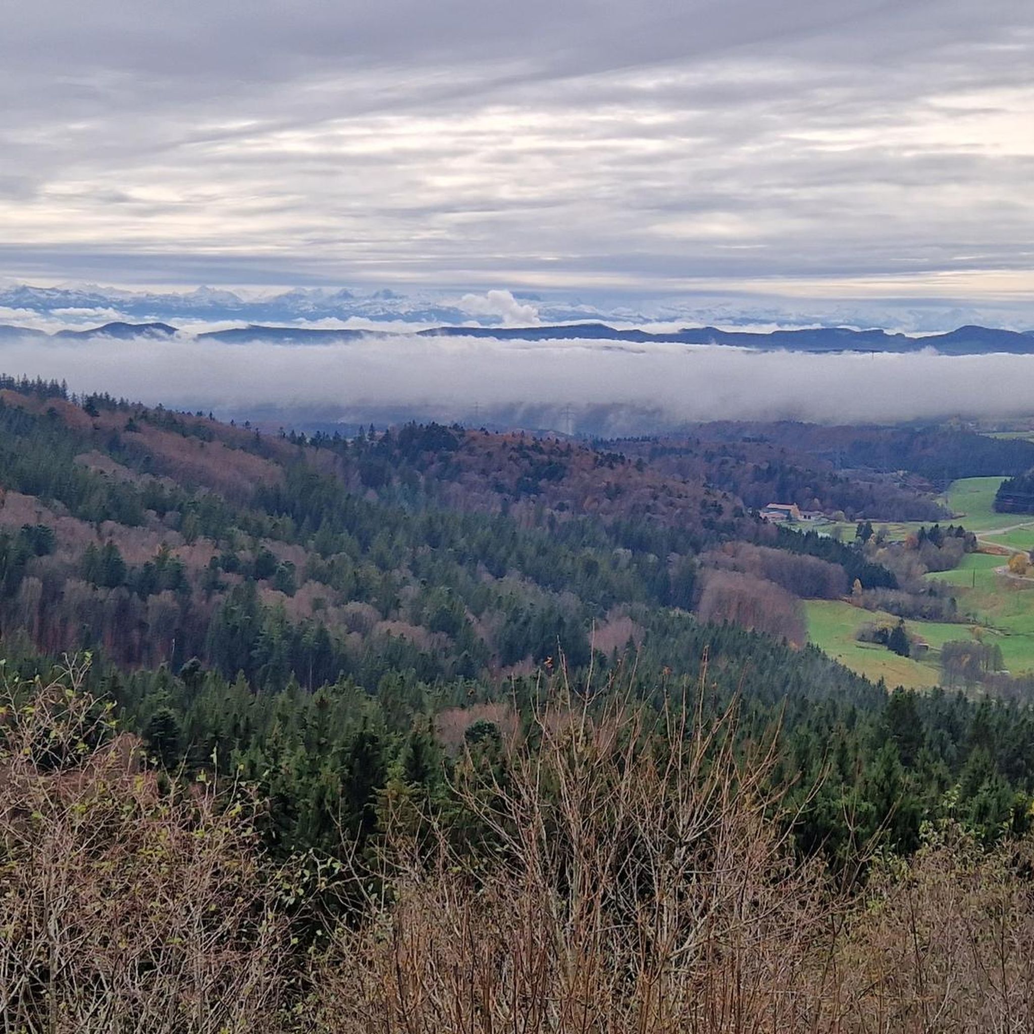
From up here you have a beautiful view down into the Rhine Valley
0
0

Beautiful picnic area with a magnificent view
0
0
Frequently Asked Questions
How many hiking trails are available around Hornbergbecken?
There are over 700 hiking trails in the Hornbergbecken area, catering to various fitness levels. You'll find a wide selection, with over 400 easy routes and more than 300 moderate options, plus some challenging trails for experienced hikers.
What kind of terrain can I expect on hikes around Hornbergbecken?
The terrain around Hornbergbecken is diverse, featuring idyllic meadow landscapes with fruit trees, dense forest areas reaching up to nearly 1000 meters, and rugged granite rocks. The trails often offer a mix of these environments, providing constantly changing scenery.
Are there any circular hiking trails around Hornbergbecken?
Yes, the region offers several circular routes. For an easy option, consider the Hornberg Basin – Hornbergbecken Viewpoint loop from Bannwald Wehratal, which is 4.3 km long and takes about 1 hour 13 minutes. Another easy choice is the Hornberg Basin – Ödland Chapel loop from Hornbergbecken, covering 3.6 km.
What are some notable landmarks or viewpoints to see while hiking?
Hikers can visit the historic Ödlandkapelle, a small 18th-century chapel located about 500 meters from the Hornbergbecken. Additionally, a beautiful panoramic viewpoint on the south side of the dam crest offers expansive views that can stretch as far as the Alpine chain on clear days.
What do other hikers say about the trails in Hornbergbecken?
The routes in Hornbergbecken are highly rated by the komoot community, with an average score of 4.5 stars from over 5,900 reviews. More than 23,000 hikers have used komoot to explore the varied terrain, often praising the reservoir views, dense forests, and meadow landscapes.
Are there family-friendly hiking options near Hornbergbecken?
Yes, there are many easy trails suitable for families. An excellent option is the Ödland Chapel – Wasteland chapel loop from Bannwald Wehratal, an easy 5.2 km path that explores the area around the historic Ödland Chapel, providing a gentle walk.
Is Hornbergbecken accessible by public transport?
While the region is primarily accessed by car, some public transport options might get you close to Herrischried, the nearest town. However, direct public transport to the Hornbergbecken itself can be limited, so checking local bus schedules for connections to Herrischried or nearby villages is advisable.
Where can I park when visiting Hornbergbecken for a hike?
There are car parks available, particularly east of the dam's crest, which serve as starting points for several circular hiking routes. These parking areas provide convenient access to the trails around the reservoir.
What is the best time of year to hike around Hornbergbecken?
The Hornbergbecken area is beautiful throughout the warmer months, from spring to autumn, when the weather is generally mild and the landscapes are vibrant. Clear days offer the best chance to enjoy the panoramic views from the dam crest.
Are there any longer, more challenging hikes in the area?
For those seeking a longer, moderate challenge, the Ödland Chapel – View of the Wehratal Valley loop from Hornbergbecken is a good choice. This route covers nearly 16 km and involves significant elevation changes, offering extensive views of the Wehratal Valley.
Can I bring my dog on the hiking trails?
Most hiking trails in the Hornbergbecken area are dog-friendly. However, it's always recommended to keep your dog on a leash, especially in areas with wildlife or near other hikers, to ensure a safe and enjoyable experience for everyone.
Are there facilities like cafes or restaurants near the hiking trails?
While there might not be facilities directly at the Hornbergbecken dam, the nearby town of Herrischried and surrounding villages in the Hotzenwald region offer various cafes, restaurants, and accommodation options for hikers looking to refuel or stay overnight.
Most popular routes around Hornbergbecken

Get inspired with the komoot mobile app


Explore more
Browse the best Hikes in other regions.
