The best road cycling routes around Windgfällweiher
4.5
(300)
5,418
riders
126
rides
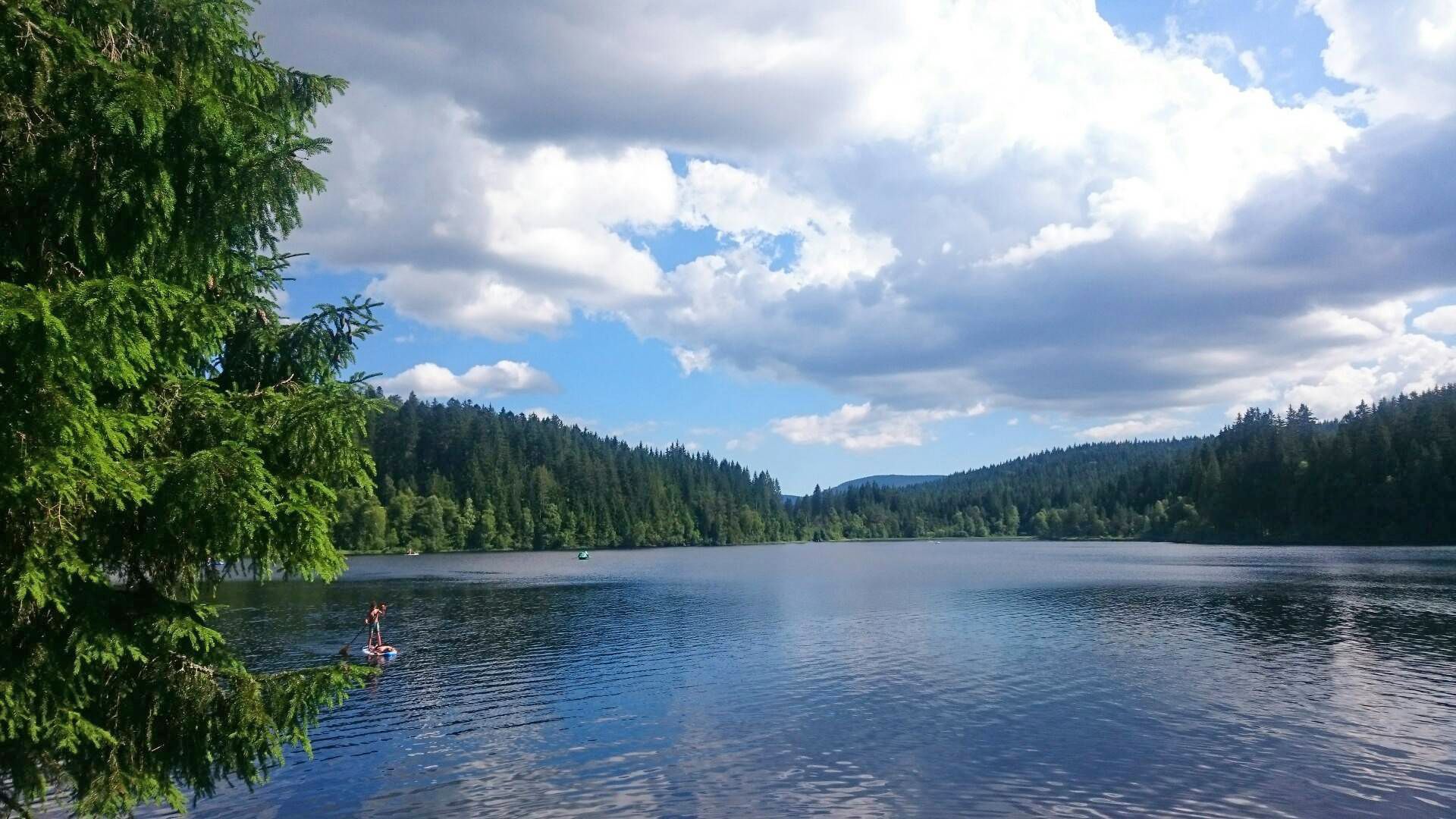
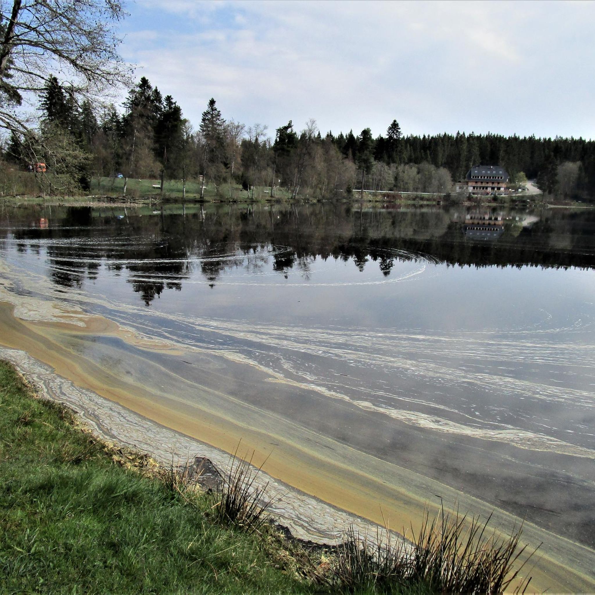
Road cycling routes around Windgfällweiher are situated in the High Black Forest, a region shaped by glacial activity and characterized by spruce forests and biologically diverse marshland. The area features a well-maintained cycle path along the B500, offering mostly paved surfaces suitable for road bikes and allowing rides away from heavy traffic. This landscape provides varied terrain, from routes with moderate elevation to more challenging climbs, making it suitable for different fitness levels.
Best road cycling routes around Windgfällweiher
- The…
Last updated: July 5, 2026
40
riders
121km
06:34
2,370m
2,370m
Hard road ride. Very good fitness required. Mostly well-paved surfaces and easy to ride.
5.0
(1)
37
riders
57.9km
02:49
780m
780m
Moderate road ride. Good fitness required. Some segments of this route may be unpaved and difficult to ride.

Sign up for free
4.0
(1)
25
riders
75.6km
03:37
1,030m
1,030m
Hard road ride. Very good fitness required. Mostly well-paved surfaces and easy to ride.
12
riders
96.4km
05:29
2,210m
2,210m
Hard road ride. Very good fitness required. Mostly well-paved surfaces and easy to ride.
4.0
(2)
19
riders
Moderate road ride. Good fitness required. Mostly well-paved surfaces and easy to ride.
Get access to more routes and recommendations from other explorers.
Sign up for free
Already have an account?
Our route recommendations are based on thousands of hikes, rides, and runs completed by other people on komoot.
Start today with a free account
Your next adventure awaits.
Login or Signup
Other adventures around Windgfällweiher

Tips from the Community

The gravel surface of the Bähnleradweg, which is mentioned in the first post from 2019, is no longer applicable, it is now asphalted all the way. The Bähnle-Radweg mostly follows the route of the disused Lenzkirch - Bonndorf railway line. As a result, there are only slight inclines along the entire route.
0
0

The church tower is an eye-catcher, slowly emerging at the top of the mountain.
1
0

The road will be closed for eight months starting August 11, 2025. From Göschweiler, you can still reach Wutachmühle, but the southern approach is closed.
1
0
The road will be closed for eight months starting August 11, 2025. From Göschweiler, you can still reach Wutachmühle, but the southern approach is closed.
0
0

From here you have a fantastic view of the Feldberg and its neighbors. Pure Black Forest.
0
0
A wonderful route, just run and enjoy.
0
0
A great climb from Hinterzarten – or a descent there. Challenging, with fantastic views every now and then. And at the top, you know: this is what the Black Forest smells like.
0
0
The Feldberg peak dominates the picture, but the view in other directions is also fantastic.
0
0
Frequently Asked Questions
How many road cycling routes are available around Windgfällweiher?
There are over 130 road cycling routes around Windgfällweiher, offering a wide range of options for different skill levels. This includes 8 easy routes, 62 moderate routes, and 62 difficult routes, ensuring there's something for everyone.
What kind of terrain and elevation can I expect on road cycling routes near Windgfällweiher?
The Windgfällweiher region, nestled in the High Black Forest, offers diverse terrain shaped by glacial activity. You'll find well-paved cycle paths, such as the one along the B500 between Schluchsee-Aha and Windgfällweiher, suitable for racing bikes. Routes vary from those with moderate elevation to more challenging rides featuring significant climbs, with some tours offering up to 3,000 feet of elevation gain.
Are there routes suitable for beginners or families in the Windgfällweiher area?
Yes, the area offers 8 easy road cycling routes that are generally well-paved and suitable for all fitness levels, including families. The cycle path along the B500 is particularly good for less experienced riders, providing a pleasant ride away from heavy traffic.
What are some notable landmarks or natural features I can see along the road cycling routes?
Many routes offer views of the picturesque Windgfällweiher lake itself, a protected landscape known for its biodiversity. You can also cycle along the Cycle Path Along the B500 Between Schluchsee-Aha and Windgfällweiher, which provides scenic views. The surrounding spruce forests and biologically interesting marshland regions are also prominent natural features.
What do other road cyclists enjoy most about cycling in Windgfällweiher?
The area is highly rated by the komoot community, with an average score of 4.5 stars from over 300 reviews. Cyclists often praise the tranquil and idyllic atmosphere, the diverse natural features, and the well-maintained cycle paths that cater to various fitness levels.
Are there any circular road cycling routes around Windgfällweiher?
Yes, there are several circular road cycling routes. One popular option is the Urach Valley – Windgfällweiher loop from Altglashütten-Falkau, which takes you through the scenic Urach Valley and past the lake.
Where can I find parking facilities for cyclists near Windgfällweiher?
Limited parking facilities are available in the Windgfällweiher area. However, given the excellent cycling infrastructure, arrival by bike is often recommended. If driving, look for designated parking areas near the lake or in nearby villages like Altglashütten-Falkau.
Is it possible to reach Windgfällweiher by public transport for cycling trips?
Yes, the 'Three Lakes Railway' (Dreiseenbahn) runs along the eastern shore of Windgfällweiher, making it accessible by public transport. This can be a convenient option for cyclists looking to start or end their tours at the lake.
Are there places to eat or relax after a ride near Windgfällweiher?
Absolutely. There are restaurants in the vicinity, including the 'Köhlerei,' which offers regional dishes. Additionally, the lido on the eastern shore of Windgfällweiher features a snack bar and a 'Baywatch Bar,' perfect for a refreshing break and a swim in the clear lake water after your ride.
What is the best season for road cycling around Windgfällweiher?
The warmer months, typically spring through autumn, are ideal for road cycling around Windgfällweiher, offering pleasant temperatures and lush landscapes. The lake's water quality is consistently rated as very good, making it perfect for a post-ride swim during summer. In colder months, the area transforms for winter activities, but road cycling is best enjoyed when the paths are clear of snow and ice.
Can I combine road cycling with other outdoor activities at Windgfällweiher?
Yes, Windgfällweiher is excellent for combining activities. Besides cycling, you can enjoy swimming at the lido, stand-up paddling or boating on the lake, or hiking on the well-maintained circular path around the lake. There are also numerous other hiking trails in the surrounding area, some offering views of the Feldberg.
Are there any challenging road cycling routes for experienced riders?
Yes, experienced riders will find plenty of challenging options. For instance, the Wildgutach Valley – View of St. Märgen Church loop from Altglashütten-Falkau is a difficult 75.4-mile route with significant elevation gain. Another demanding option is the Äulemer Höhe Pass Road – Wiedener Eck Pass loop from Altglashütten-Falkau, featuring challenging pass roads and extensive climbs.
Most popular routes around Windgfällweiher
Most popular attractions around Windgfällweiher

Get inspired with the komoot mobile app


Explore more
Browse the best Road cycling routes in other regions.
