The best road cycling routes around Nagoldtalsperre
4.7
(148)
1,925
riders
58
rides
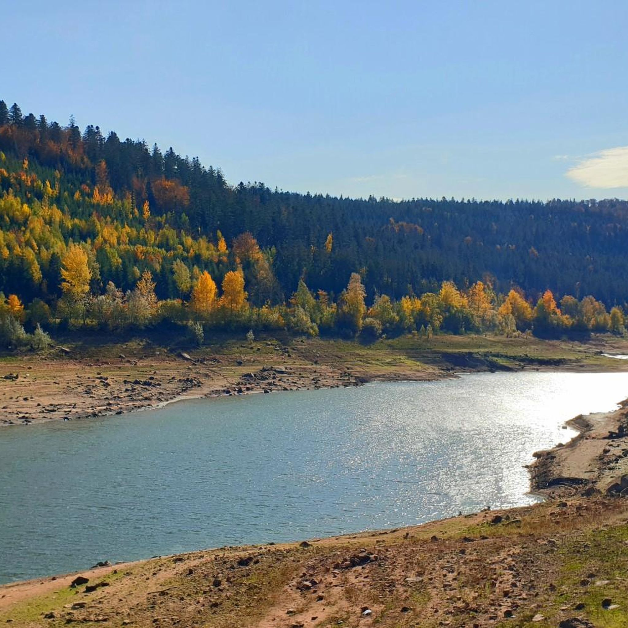
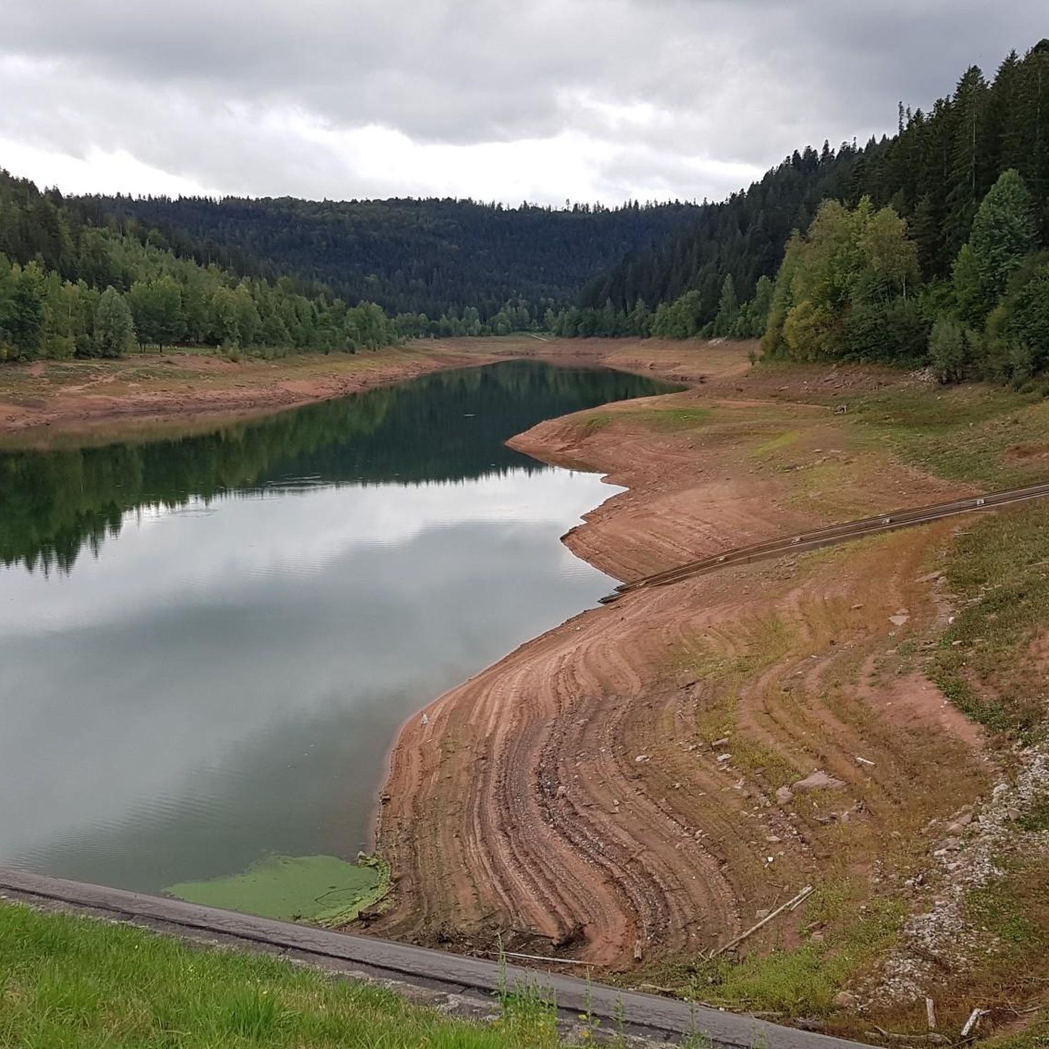
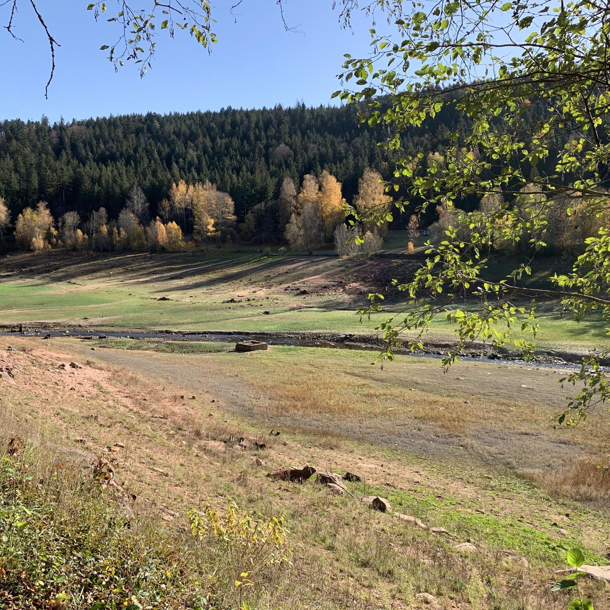
Road cycling around Nagoldtalsperre offers diverse terrain within the scenic Upper Nagold Valley of the Black Forest. The region features a large reservoir framed by dense forests and rolling hills, providing a tranquil setting for cycling. Paved routes are common, leading through protected forest landscapes and offering varied elevation changes. This area is characterized by its natural beauty and well-maintained network of paths suitable for road bikes.
Best road cycling routes around Nagoldtalsperre
- The most popular road cycling route is…
Last updated: July 3, 2026
6
riders
42.5km
02:17
750m
750m
Moderate road ride. Good fitness required. Mostly well-paved surfaces and easy to ride.
10
riders
30.8km
01:35
550m
550m
Moderate road ride. Good fitness required. Mostly well-paved surfaces and easy to ride.

Sign up for free
5.0
(1)
7
riders
68.2km
03:27
1,050m
1,050m
Hard road ride. Very good fitness required. Some segments of this route may be unpaved and difficult to ride.
4.8
(12)
138
riders
49.5km
02:16
480m
470m
Moderate road ride. Good fitness required. Mostly well-paved surfaces and easy to ride.
5.0
(8)
23
riders
24.8km
01:13
350m
350m
Moderate road ride. Good fitness required. Mostly well-paved surfaces and easy to ride.
Get access to more routes and recommendations from other explorers.
Sign up for free
Already have an account?
Our route recommendations are based on thousands of hikes, rides, and runs completed by other people on komoot.
Start today with a free account
Your next adventure awaits.
Login or Signup
Tips from the Community

The Zinsbachmühle is a historic, former grain mill in the idyllic Zinsbachtal in the Northern Black Forest, whose origin at the present location dates back to 1555.
2
0
The Kohlsägmühle is already more than 400 years old. It was first mentioned in writing in 1614, located in the Zinsbachtal valley and named after the small stream Kohlbächlein. This date is mentioned in both the Altensteiger Forstlagerbuch and the Dorfbuch of Garrweiler, in whose district the mill stands. From the beginning, it was owned by several forest farmers. Today it belongs to more than 40 co-owners from Garrweiler, Spielberg and Überberg, Grömbach, Wörnersberg and Edelweiler - it is the only mill in the district with such an ownership structure.
2
0

MAGNIFICENT FOREST LANDSCAPE OVER THE NOW BLOOMING SCATTERED ORCHARDS
0
0

It could be so beautiful: good road surface, peaceful nature, a pleasant, consistent incline. Access for motor vehicles is actually only permitted with a "special permit"—but there seem to be a lot of them (it is, after all, a convenient shortcut). Even with just a handful of vehicles, it gets a bit annoying, because the road often only accommodates one modern car (not to mention the trucks that use it during the logging season), and places to pull over are scarce. This means: pull onto the verge and let them pass (if you haven't already been overtaken with only 5 cm of clearance), which, of course, disrupts the flow of traffic. A radar like the Varia is helpful; otherwise, you're constantly looking behind you, paranoid. The official speed limit here is 30 km/h (realistically more of a "recommendation"), but the cars approach much faster. Going downhill, due to the aforementioned road width, it would be quite narrow when there's oncoming traffic, and the cars would block each other. I like the route and will probably continue to drive it from time to time depending on my mood, but unfortunately I can't wholeheartedly recommend it.
0
0

Nice climb with a moderate gradient and little traffic.
0
0

If you'd like to dine at Seeheiner, please note that this restaurant is closed on Mondays and Tuesdays. I recommend the following dishes at Seeheiner: Swabian pancakes and gypsy skewers. A shandy for cyclists.
1
0
A pleasant descent into the Murg Valley on a flawless surface. The uphill section, however, is only recommended during off-peak times, as it gets quite busy during the day. The section through town is steep, but after that, you wind your way up behind the Klosterreichenbach town sign with a steady, pleasant gradient. Compared to the Besenfelder Steige, this is the more relaxed route out of the Murg Valley.
0
0

Frequently Asked Questions
How many road cycling routes are available around Nagoldtalsperre?
There are over 50 road cycling routes around Nagoldtalsperre, offering a wide range of options for different skill levels. You'll find routes from easy to difficult, with the majority being moderate.
What kind of terrain can I expect on road cycling routes in Nagoldtalsperre?
The terrain around Nagoldtalsperre is diverse, featuring a mix of paved paths, dense forests, and rolling hills within the scenic Upper Nagold Valley. Routes often include varied elevation changes, providing both gentle stretches and more challenging climbs.
Are there any easy road cycling routes suitable for beginners or families?
Yes, Nagoldtalsperre offers several easy routes. A popular and relatively flat option is the circuit directly around the lake, which can be a shorter 4 km loop or a longer 6 km route. While specific family-friendly road cycling routes aren't explicitly detailed, the region's well-maintained paved paths and varied terrain mean there are suitable options for those seeking less strenuous rides.
What are some challenging road cycling routes for experienced riders?
For experienced riders seeking a challenge, routes like the Freudenstadt Market Square – Ellbachstraße loop from Grömbach offer significant elevation gain over 68.2 km. Another option with notable climbs is the Nagoldtalsperre – Climb Erzgrube–Besenfeld loop from Schernbach, a moderate 32.6 km path with varied terrain.
What landmarks or viewpoints can I see along the road cycling routes?
Many routes offer scenic views of the Nagoldtalsperre reservoir and the surrounding Black Forest. Notable landmarks include the Nagold Dam Covered Bridge, which separates the upper and lower reservoirs, and the Nagold Reservoir (Erzgrube) itself. A viewing tower at the information pavilion also provides panoramic views over the lake.
Are there any circular road cycling routes around Nagoldtalsperre?
Yes, many road cycling routes around Nagoldtalsperre are designed as loops. For instance, the Nagoldtalsperre – Eichbrönle Hut loop from Nagoldtalsperre is a popular 42.5 km circular route that takes you through dense forests and rolling hills.
Where can I find parking for road cycling in Nagoldtalsperre?
Parking is generally available in the vicinity of the Nagoldtalsperre, particularly near popular starting points or attractions like the reservoir itself. Specific parking areas are often indicated on local maps or within the komoot tour details.
What is the best time of year for road cycling in Nagoldtalsperre?
The region is generally appealing for road cycling from spring through autumn. During these seasons, the weather is typically mild, and the natural beauty of the Black Forest and the reservoir is at its peak. Winter cycling might be possible, but conditions can be challenging due to snow or ice.
Are there places to stop for refreshments along the routes?
Yes, some routes offer opportunities for refreshments. You might find stops at places like Seeheimer or the Seekiosk in Erzgrube, especially along routes closer to the reservoir. It's always a good idea to check specific route details for refreshment options.
What do other road cyclists say about the routes in Nagoldtalsperre?
The road cycling routes in Nagoldtalsperre are highly rated by the komoot community, with an average score of 4.8 stars from over 150 reviews. Cyclists often praise the varied terrain, the scenic beauty of the reservoir and forests, and the well-maintained paved paths.
Can I combine road cycling with other activities at Nagoldtalsperre?
Absolutely! The Nagoldtalsperre reservoir offers various activities beyond cycling, such as swimming, sunbathing on green meadows, surfing, sailing, diving, and fishing. There are also barbecue areas and a water playground, making it a great destination for a full day out.
Are there any information points about the Nagoldtalsperre dam?
Yes, there are Nagoldtalsperre Erzgrube Information Boards located around the area. These boards explain the formation and purpose of the Nagold Dam, providing interesting insights into this impressive structure.
Most popular routes around Nagoldtalsperre
Most popular attractions around Nagoldtalsperre

Get inspired with the komoot mobile app


Explore more
Browse the best Road cycling routes in other regions.
