The best walks and hikes around Blaibacher Lake
4.5
(10642)
39,485
hikers
809
hikes
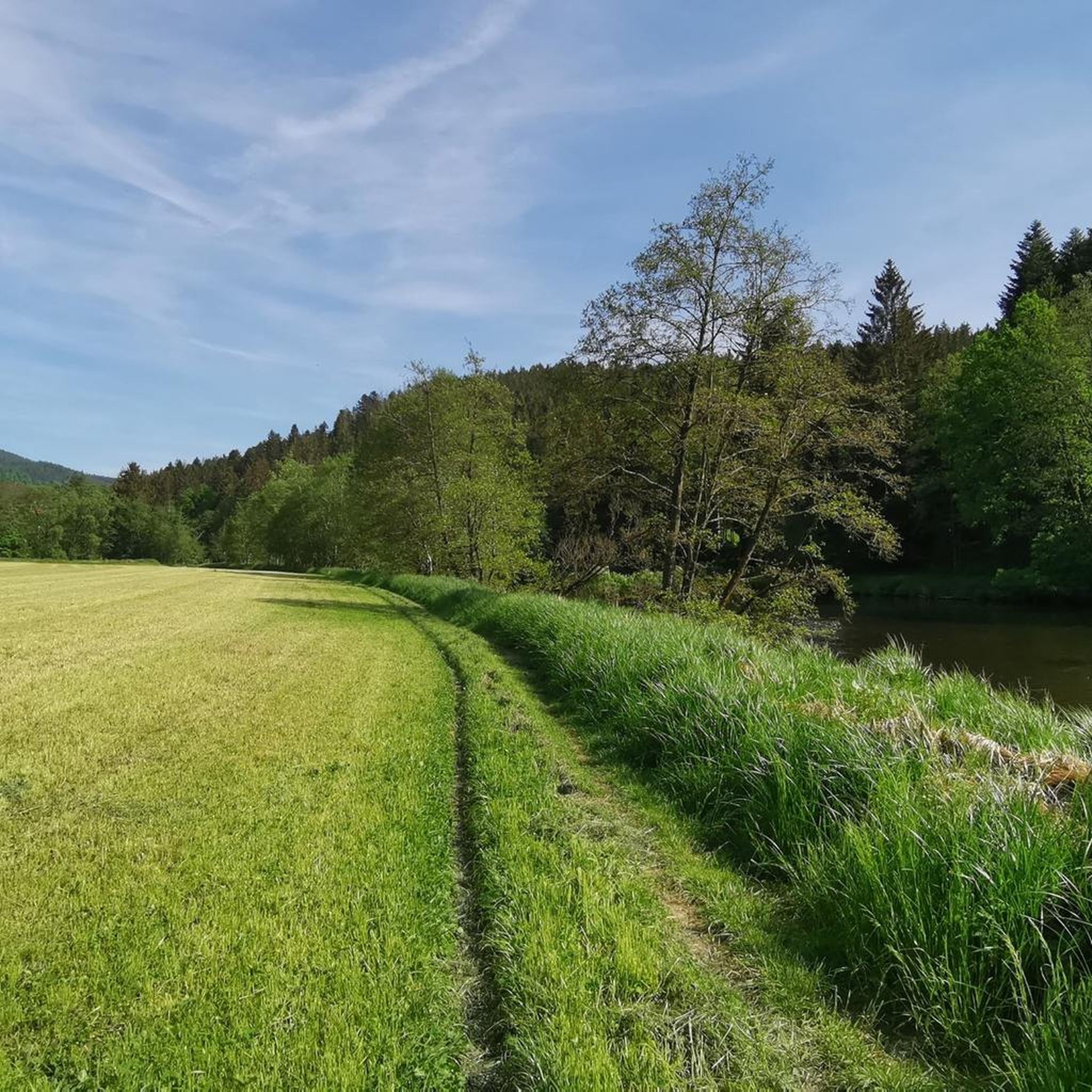
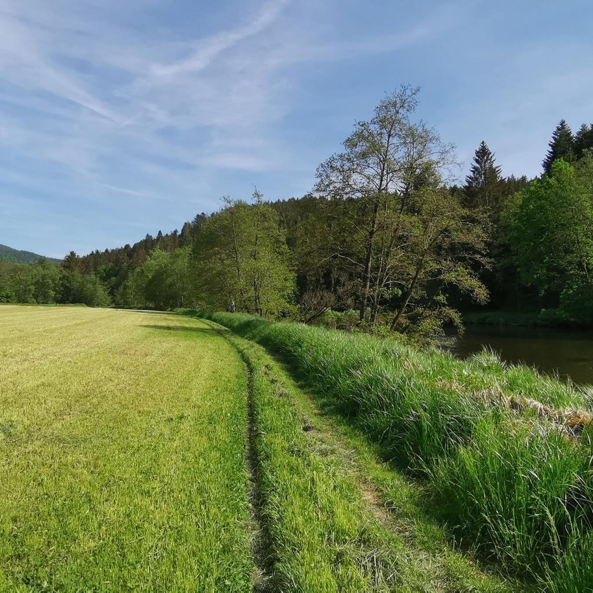
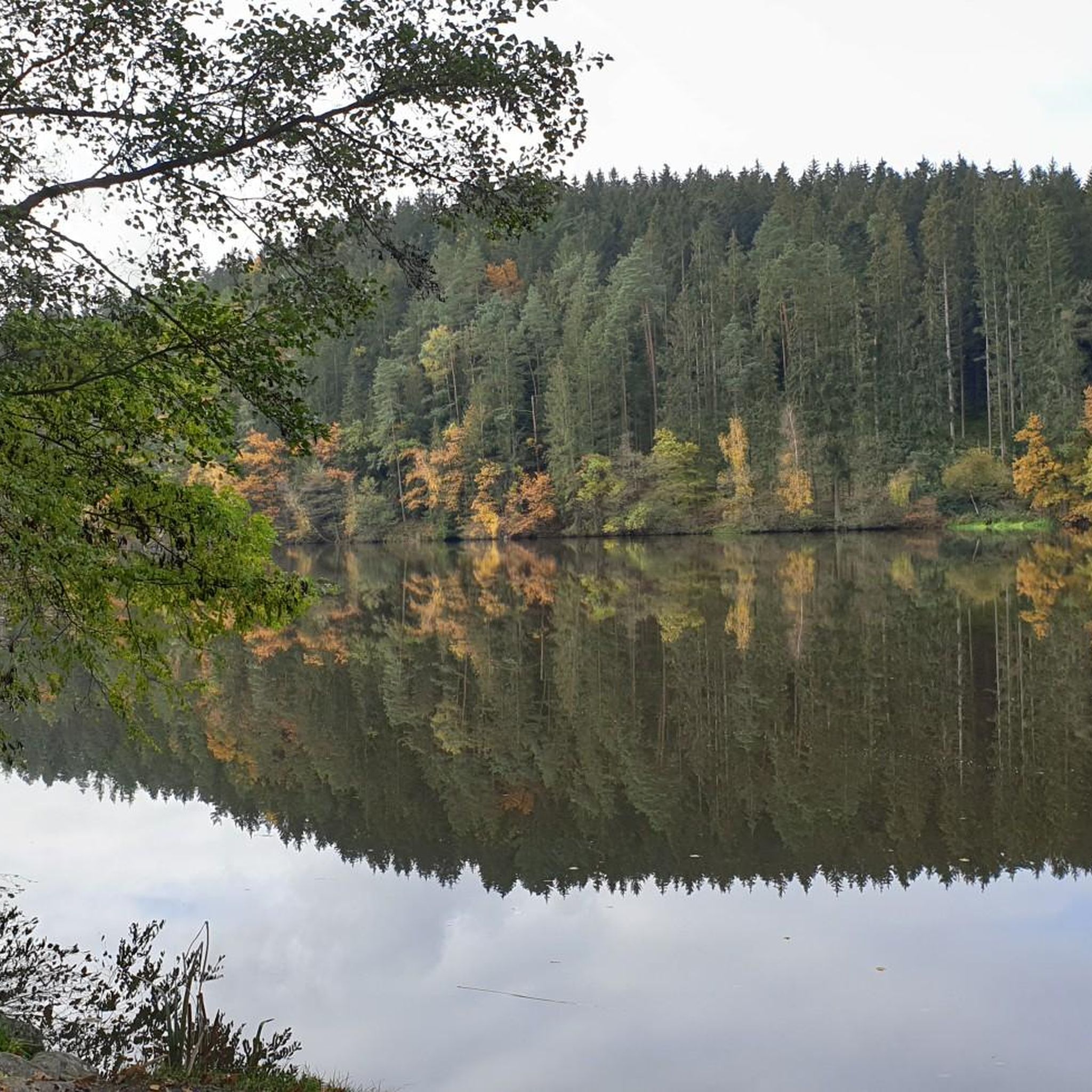
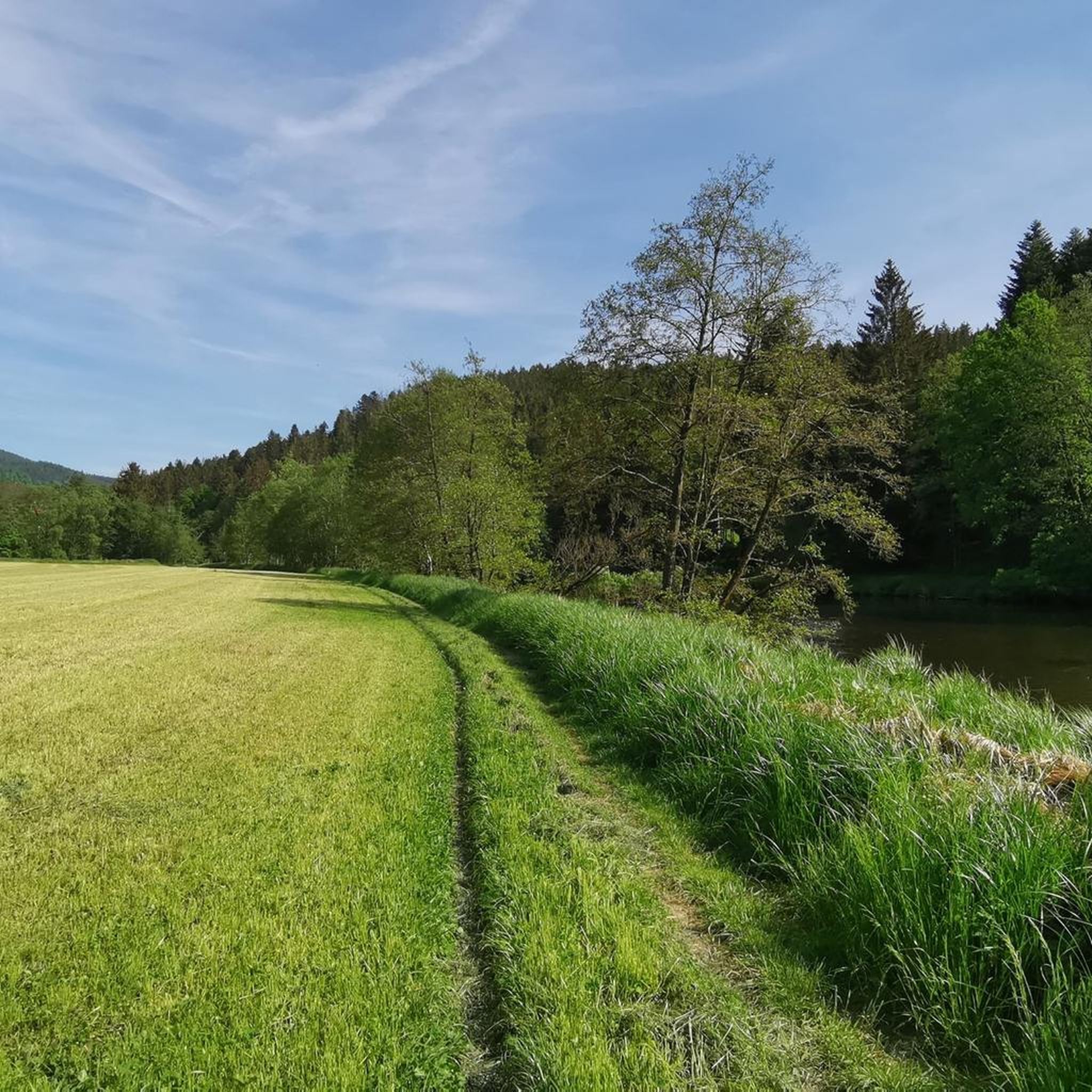
Hiking around Blaibacher Lake navigates a picturesque reservoir nestled within the scenic valley of the Schwarzer Regen river in the Bavarian Forest. The landscape features a combination of idyllic shore paths, shady forests, and open fields, with extensive forests reaching down to the water's edge. The Schwarzer Regen river flows into and out of the lake, connecting it to a larger river system. This area offers diverse natural environments for outdoor activities.
Best hiking trails around Blaibacher Lake
- The most popular hiking route is Lake Blaibach – Lake Blaibach loop from Blaibach, a 7.6 miles (12.2 km) trail that takes 3 hours 16 minutes to complete, offering varied insights into the recreational area.
- Another top favourite among local hikers is Lake Höllenstein – Lake Blaibach loop from Wanderparkplatz Höllensteinsee, a moderate 7.1 miles (11.5 km) path connecting the two lakes with views over the water and through forests.
- Local hikers also love the Lake Blaibach – White Regen River loop from Blaibach, a 5.6 miles (9.0 km) trail leading through varied landscapes along the lake and river, often completed in about 2 hours 27 minutes.
- Hiking around Blaibacher Lake is defined by idyllic shore paths, shady forests, and the Schwarzer Regen river. The network offers options for various fitness levels.
- The routes in Blaibacher Lake are highly rated by the komoot community with an average score of 4.5 stars from more than 9,700 reviews. More than 37,000 hikers have used komoot to explore Blaibacher Lake's varied terrain.
Last updated: June 27, 2026
4.7
(249)
816
hikers
12.4km
03:19
150m
150m
Moderate hike. Good fitness required. Easily-accessible paths. Suitable for all skill levels.
4.7
(249)
785
hikers
11.5km
03:07
170m
160m
Moderate hike. Good fitness required. Easily-accessible paths. Suitable for all skill levels.

Sign up for free
4.5
(103)
339
hikers
8.97km
02:27
140m
140m
Moderate hike. Good fitness required. Easily-accessible paths. Suitable for all skill levels.
4.7
(43)
139
hikers
14.0km
03:59
310m
320m
Moderate hike. Good fitness required. Easily-accessible paths. Suitable for all skill levels.
4.7
(31)
199
hikers
9.89km
02:38
110m
110m
Moderate hike. Good fitness required. Easily-accessible paths. Suitable for all skill levels.
Get access to more routes and recommendations from other explorers.
Sign up for free
Already have an account?
Our route recommendations are based on thousands of hikes, rides, and runs completed by other people on komoot.
Start today with a free account
Your next adventure awaits.
Login or Signup

Tips from the Community

Next to the mini-golf, a nice kiosk with plenty of outdoor seating. I even got a bowl of water for the dog 😉
0
0

Very beautiful lake, nestled in a narrow valley. The stairs at the dam are only suitable for pedestrians... Cyclists must take the hiking trail above the inn to the river, then an easy-to-ride path leads to the Blaibacher See.
0
0

Start at parking lot A.. Höllensteinsee, cross the power station, then turn right towards Krailing, in Blaibach coffee break at Café Lieblingsplatz, continue towards Bad Kötzting (circular route)..over Blaibacher See, turn right (path BL15) to the Höllsteinsee power station, about 5 km..partially well described..
0
0

View from the Höllensteinsee House to the dam
0
0

The newly opened Höllensteinhaus with stunning views of Höllensteinsee. A very large wraparound terrace on two levels.
3
0

Nice bathing area directly on the lake
0
0

Super easy hiking trail, as it only has very slight inclines. Also suitable for strollers.
0
0
very idyllic location and good starting point for various hikes
2
0
Frequently Asked Questions
How many hiking trails are available around Blaibacher See?
There are over 800 hiking routes around Blaibacher See, catering to various skill levels. This includes more than 400 easy trails, over 340 moderate routes, and nearly 60 challenging hikes.
What kind of terrain can I expect on hikes around Blaibacher See?
The terrain around Blaibacher See is quite varied, featuring idyllic shore paths, shady forests, and open fields. You'll find paths that follow the lake's edge, traverse natural forest, and lead through the scenic valley of the Schwarzer Regen river.
Are there any circular hiking trails around Blaibacher See?
Yes, circular trails are very popular here. Many routes offer varied insights into the recreational area, often following the lake's shore. An example is the Lake Blaibach – Lake Blaibach loop from Blaibach, which is a popular option.
What are some notable natural features or landmarks to look out for while hiking?
Hikers can enjoy the picturesque Lake Blaibach itself, the flowing Schwarzer Regen river, and extensive forests. You might also spot wildlife like nesting swans and wild ducks, or evidence of beaver activity. Man-made landmarks include the Pulling Power Plant and Dam, and the historic railway bridge near Pulling.
Are there any trails that connect Blaibacher See with other lakes?
Yes, there are routes that link Blaibacher See with the nearby Höllensteinsee. A good example is the Lake Höllenstein – Lake Blaibach loop from Wanderparkplatz Höllensteinsee, which offers magnificent views and passes through silent forests.
What do other hikers say about the trails around Blaibacher See?
The trails around Blaibacher See are highly rated by the komoot community, with an average score of 4.5 stars from nearly 10,000 reviews. Hikers often praise the diverse landscapes, the well-maintained paths, and the constant new views of nature.
Are there family-friendly hiking options available?
Yes, many trails around Blaibacher See are suitable for families. The diverse range of easy and moderate routes means you can find paths that are not too strenuous, allowing everyone to enjoy the idyllic shore paths and shady forests.
Can I bring my dog on the hiking trails?
Blaibacher See is generally dog-friendly, with many trails suitable for walks with your canine companion. Always ensure your dog is on a leash where required and be mindful of other hikers and wildlife, especially near the water's edge where swans and ducks may be present.
What is the best time of year to go hiking around Blaibacher See?
Blaibacher See offers beautiful hiking experiences throughout the year. Spring brings fresh foliage, summer provides lush greenery, and autumn showcases vibrant colors. Even winter transforms the area into a picturesque snowy landscape, offering a different kind of beauty for those prepared for colder conditions.
Are there places to eat or rest near the hiking routes?
Yes, for a break with scenic views, you can visit Restaurant Seeblick, which is situated near the Höllensteinsee dam. The villages around Blaibacher See also offer options for refreshments.
Are there any cultural or historical sites along the hiking paths?
Beyond the natural beauty, you can encounter cultural interest such as the historic railway bridge near Pulling, recognized as a historic monument. The village chapel in Wimbach, dating from the second half of the 19th century, and the Weißenregen Pilgrimage Church are also notable sites in the vicinity.
Is there public transport access to Blaibacher See for hikers?
While specific public transport details for every trailhead vary, the region is generally accessible. It's advisable to check local bus schedules or train connections to Blaibach or nearby towns, which can serve as starting points for your hikes.
Most popular routes around Blaibacher Lake
Most popular attractions around Blaibacher Lake

Get inspired with the komoot mobile app


Explore more
Browse the best Hikes in other regions.
