The best walks and hikes around Speichersee
4.4
(2333)
19,637
hikers
1,071
hikes
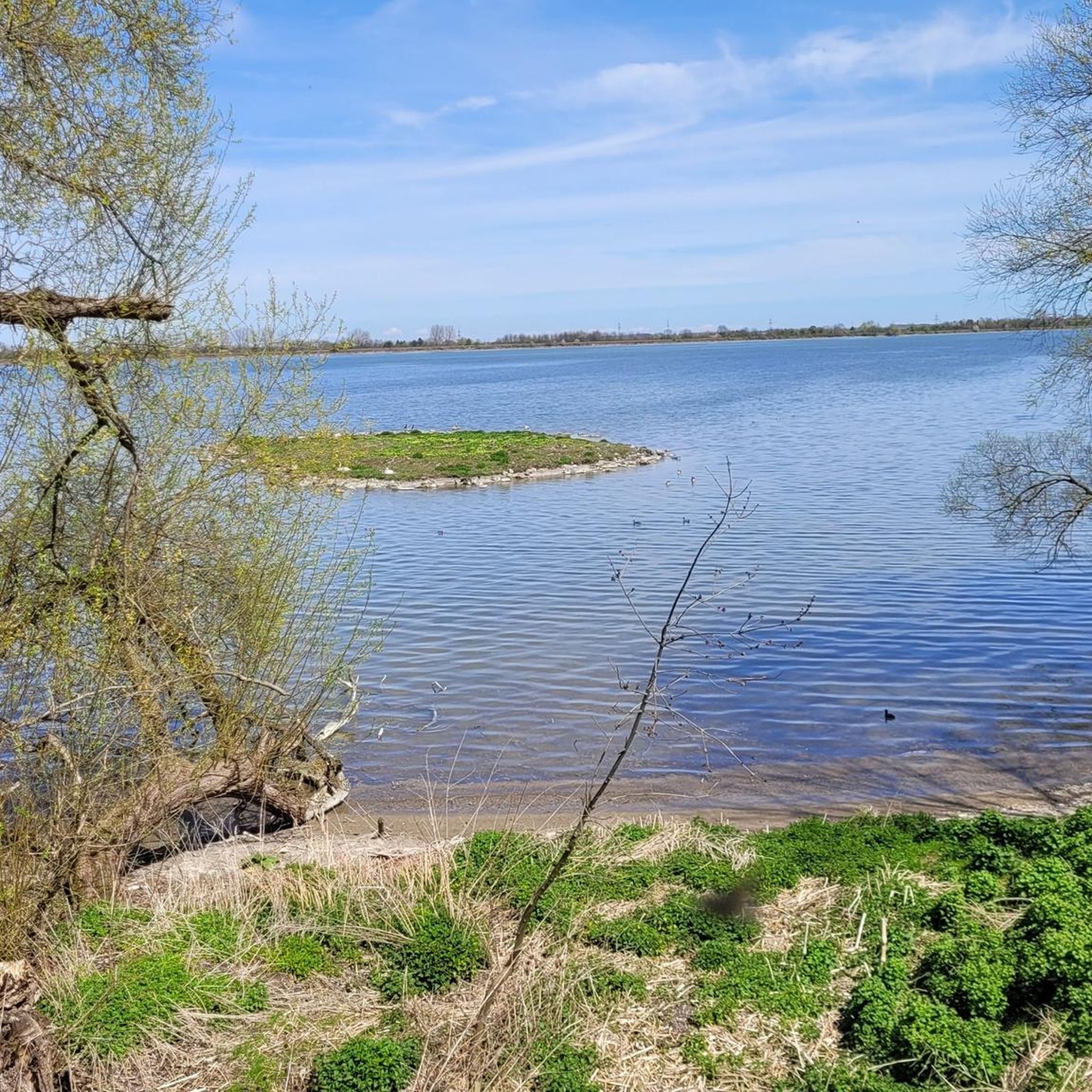
Hiking around Speichersee, a large man-made reservoir northeast of Munich, Germany, offers diverse outdoor experiences. The region is characterized by its tranquil waters, extensive network of accessible paths, and significant natural habitat, particularly for birdlife. The terrain is generally flat, making it suitable for easy walks and cycling. This protected area provides continuous views of the reservoir and connects to features like the Isar Canal.
Best hiking trails around Speichersee
- The most popular hiking route is View of the Ismaninger…
Last updated: June 27, 2026
4.4
(204)
837
hikers
Easy hike. Great for any fitness level. Easily-accessible paths. Suitable for all skill levels.
4.4
(214)
833
hikers
7.88km
01:59
10m
10m
Easy hike. Great for any fitness level. Easily-accessible paths. Suitable for all skill levels.

Sign up for free
3.7
(22)
117
hikers
24.3km
06:07
30m
30m
Hard hike. Very good fitness required. Easily-accessible paths. Suitable for all skill levels.
4.5
(4)
63
hikers
3.13km
00:48
10m
10m
Easy hike. Great for any fitness level. Easily-accessible paths. Suitable for all skill levels.
4.0
(3)
24
hikers
Easy hike. Great for any fitness level. Easily-accessible paths. Suitable for all skill levels.
Get access to more routes and recommendations from other explorers.
Sign up for free
Already have an account?
Our route recommendations are based on thousands of hikes, rides, and runs completed by other people on komoot.
Start today with a free account
Your next adventure awaits.
Login or Signup
Tips from the Community

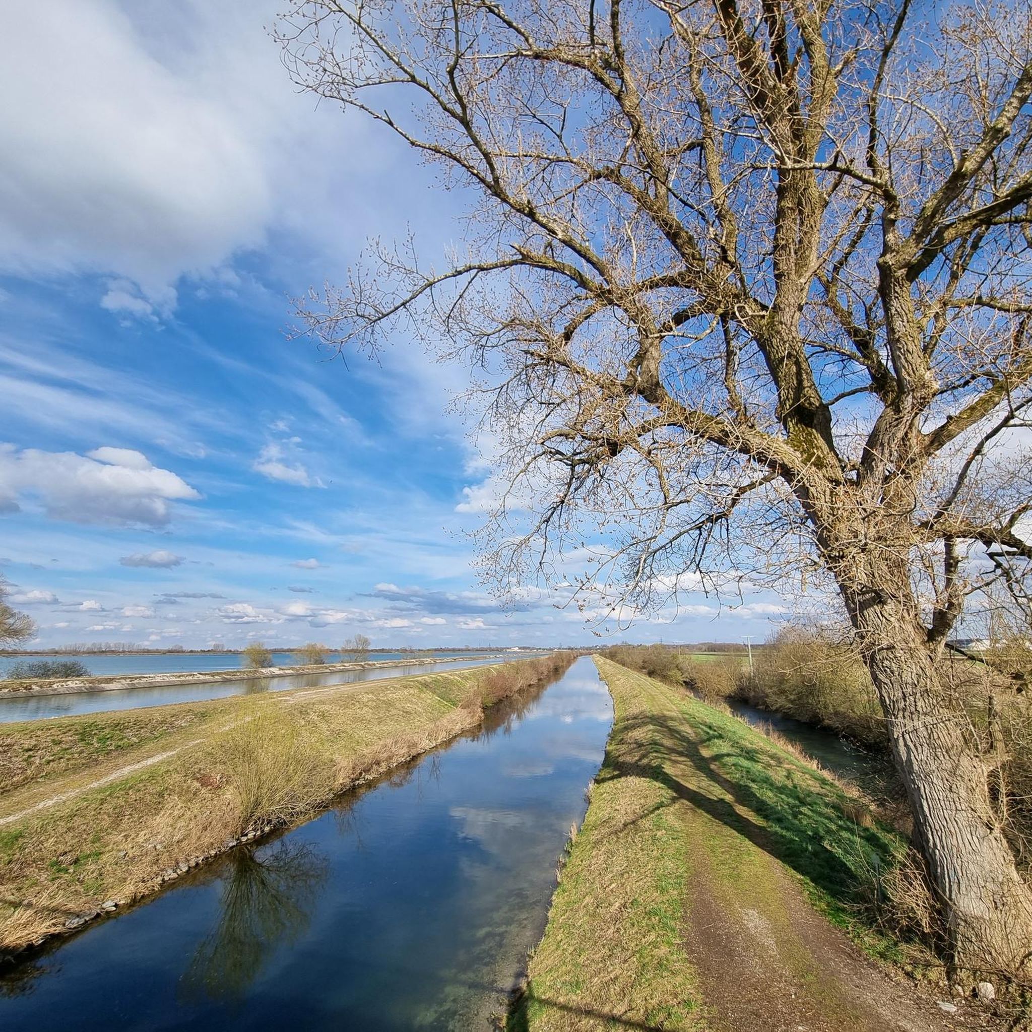
Great route for cycling
0
0

Sometimes you can see a lot of really big trout there. It's really beautiful.
0
0
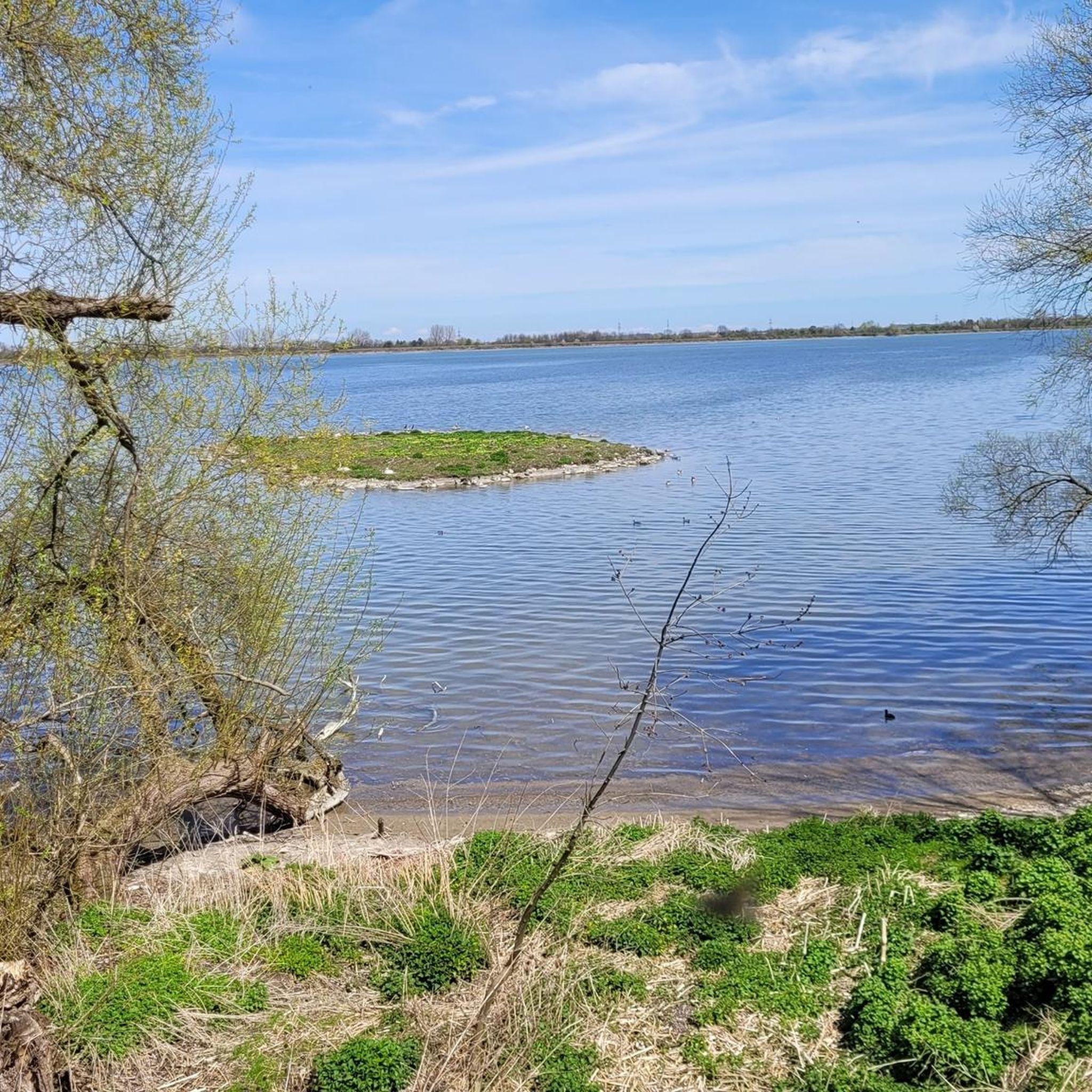
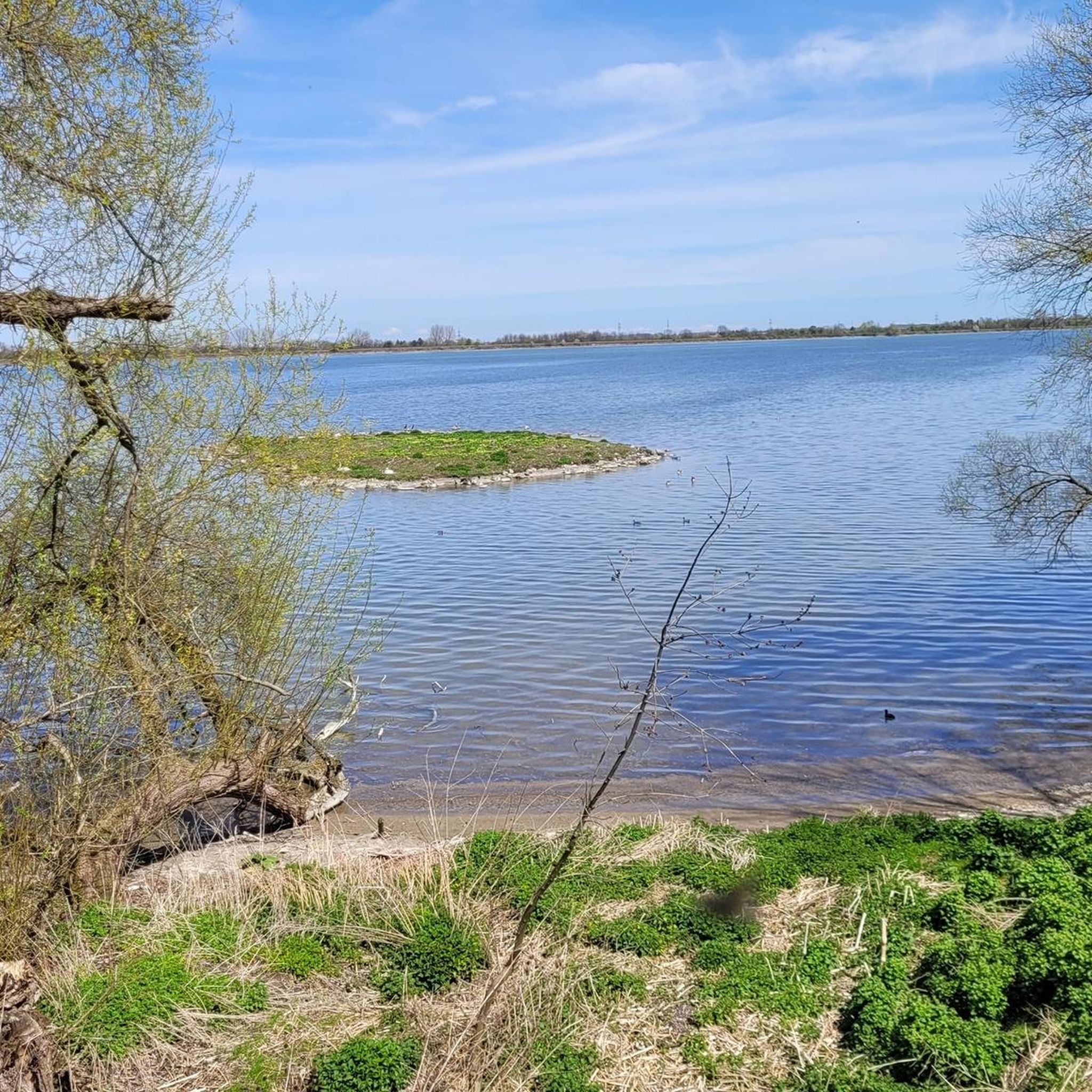
It's always lovely to spend time here – countless different bird species on and around this small island.
0
0

Closed in December 2025 due to bird flu.
0
0

Currently (as of November 6th), the dam is closed due to avian influenza. Here is the link: https://www.lra-ebe.de/aktuelles/amtsblatt/
0
0

It's kind of an idyll, especially when you pass by here in the morning.
0
0

Quiet place to watch the birds - caution: danger of mosquitoes!
0
0
Frequently Asked Questions
How many hiking trails are available around Speichersee?
There are nearly 1100 hiking trails around Speichersee. The majority, over 800, are considered easy, making the area very accessible for various fitness levels. About 260 routes are moderate, and a small number, around 10, are difficult.
Are there easy hiking options suitable for beginners or families around Speichersee?
Yes, Speichersee is ideal for easy walks. Many paths are relatively flat and accessible, perfect for families with children or those seeking a relaxed outing. An example is the Reservoir – Isar Canal at the Reservoir loop, which is an easy 1.8-mile trail that can be completed in about 45 minutes.
What kind of landscapes and natural features can I expect to see while hiking in Speichersee?
Speichersee is known for its tranquil waters and significant natural habitat, especially for diverse birdlife, as it is a protected area. You'll find continuous views of the Ismaning Reservoir, extensive accessible paths, and connections to features like the Isar Canal. The Path from the Dam to the Power Plant offers scenic views along the reservoir.
Are there any challenging hikes in the Speichersee area for experienced hikers?
While the immediate Speichersee area is predominantly flat with easy trails, there are a few more challenging options. For instance, the Lourdes Chapel – Waterway in Landshamer Moos loop from Finsing is a difficult 15-mile route that offers a longer excursion for those seeking more demanding terrain.
What do other hikers say about the trails in Speichersee?
The komoot community highly rates the trails around Speichersee, with an average score of 4.4 stars from over 1,800 reviews. Hikers often praise the tranquil waters, diverse birdlife, and the well-developed network of accessible paths that cater to various ability levels.
Are there circular hiking routes available around Speichersee?
Yes, many routes around Speichersee are circular, allowing you to start and end at the same point. Popular options include the View of the Ismaninger Speichersee – Reservoir loop, which offers continuous views, and the Reservoir – Lourdes Chapel loop, which circles parts of the reservoir and passes by the Lourdes Chapel.
Can I bring my dog on the hiking trails in Speichersee?
Speichersee is a popular destination for dog owners, and many trails are suitable for walks with your canine companion. Given the protected status and birdlife, it's always recommended to keep dogs on a leash and respect local regulations to protect the wildlife.
What are some interesting landmarks or points of interest near the hiking trails?
Beyond the reservoir itself, you can explore the Path from the Dam to the Power Plant, which offers continuous views. The East Shore Path is also a scenic route. An interesting, though not natural, feature along the north shore is the BMW Test Track.
Is Speichersee a good destination for birdwatching while hiking?
Absolutely. The Ismaninger Speichersee is a protected area and a significant natural habitat, particularly for diverse bird species. Hikers can often observe various birds, making it an excellent spot for birdwatching enthusiasts.
Are there any trails that follow waterways or canals in the Speichersee area?
Yes, some trails incorporate local waterways. For example, the Reservoir – Isar Canal at the Reservoir loop leads through the reservoir area and along the Isar Canal, offering a different scenic element to your hike.
What is the best time of year to go hiking around Speichersee?
Speichersee offers rewarding experiences throughout the year. Spring and autumn provide pleasant temperatures and beautiful scenery, while summer is great for longer days. Even in winter, the relatively flat terrain can be suitable for walks, though conditions should always be checked.
Most popular routes around Speichersee
Most popular attractions around Speichersee

Get inspired with the komoot mobile app


Explore more
Browse the best Hikes in other regions.
