The best mountain hikes around Kirchsee
4.4
(24)
318
hikers
12
hikes
Mountaineering routes around Kirchsee are characterized by a diverse landscape featuring forested hills, open alpine pastures, and notable summits like the Rechelkopf. The region offers varied terrain suitable for mountain exploration, with elevation gains ranging from gentle ascents to more challenging climbs. These routes often traverse through natural areas, providing opportunities to experience the local environment.
Best mountaineering routes around Kirchsee
- The most popular mountaineering route is Catholic branch church of St. Martin – Ellbacher Moor loop from Ellbach, a 3.6 miles (5.7 km) trail that takes 1 hour 30 minutes to complete. This easy route explores the Ellbacher Moor area with minimal elevation gain.
- Another top favourite among local mountaineers is Rechelkopf Summit – Sigrizalm at Rechelkopf loop from Greiling, a moderate 7.8 miles (12.5 km) path. This route offers significant elevation gain as it ascends towards the Rechelkopf Summit, passing alpine pastures.
- Local mountaineers also love the Rechelkopf summit – Schwaiger Alm loop from Greiling, a 10.4 miles (16.7 km) trail leading through mountain forests and open areas, often completed in about 5 hours 48 minutes.
- Mountaineering around Kirchsee is defined by forested slopes, summit ascents, and views over the surrounding landscape. The network offers options for different ability levels, from easy loops to difficult mountain challenges.
- The routes in Kirchsee are highly rated by the komoot community with an average score of 4.6 stars from over 20 reviews. More than 300 mountaineers have used komoot to explore Kirchsee's varied terrain.
Last updated: July 4, 2026
2
hikers
Easy mountaineering route. Great for any fitness level. Easily-accessible paths. Suitable for all skill levels.
5.0
(1)
5
hikers
17.3km
05:54
690m
690m
Hard mountaineering route. Very good fitness required. Mostly accessible paths. Sure-footedness required.

Sign up for free
17
hikers
12.9km
05:00
680m
680m
Hard mountaineering route. Very good fitness required. Mostly accessible paths. Sure-footedness required.
11
hikers
17.9km
05:55
700m
700m
Hard mountaineering route. Very good fitness required. Mostly accessible paths. Sure-footedness required.
5
hikers
18.5km
05:31
500m
500m
Hard mountaineering route. Very good fitness required. Mostly accessible paths. Sure-footedness required.
Get access to more routes and recommendations from other explorers.
Sign up for free
Already have an account?
Our route recommendations are based on thousands of hikes, rides, and runs completed by other people on komoot.
Start today with a free account
Your next adventure awaits.
Login or Signup
Tips from the Community

The Attenloher Filz looks a bit tundra-like
0
0
Great view over the Attenlohfilz and into the mountains. Typical tundra impression.
0
0

A rather lonely spot on the Rechelkopf, due to the long approach.
0
0

Preferably take the route via Sulzkopf, if you are coming from Gaißach, as the standard route recommended by komoot is very muddy.
1
0

The Ellbach and Kirchseemoors have been a nature reserve since 1940 and a FFH area since 1998. The municipalities of Dietramszell and Sachsenkam, the town of Bad Tölz, and the market town of Holzkirchen all have shares in this protected area.
0
0

You can take a wonderful break at the small, lovingly restored chapel or at the alpine building. Please always treat the area with care and never leave any trash behind.
0
0

Beautifully situated, but unfortunately not managed. From here, the ascent begins along a meadow path to the Rechelkopf.
3
0

Frequently Asked Questions
What is the overall difficulty level of mountaineering routes around Kirchsee?
The Kirchsee area offers a diverse range of mountaineering routes suitable for various skill levels. You'll find easy paths, such as the Catholic branch church of St. Martin – Ellbacher Moor loop from Ellbach, which is relatively flat. There are also more challenging options, including several difficult routes that involve significant elevation gain, like the Rechelkopf summit – Schwaiger Alm loop from Greiling.
Are there any easy or beginner-friendly mountaineering routes near Kirchsee?
Yes, beginners can enjoy several easy routes around Kirchsee. A great option is the Catholic branch church of St. Martin – Ellbacher Moor loop from Ellbach, which is 3.6 miles (5.7 km) long with minimal elevation, making it ideal for those new to mountaineering or looking for a relaxed walk.
What are the typical lengths and durations of mountaineering routes in the Kirchsee region?
Mountaineering routes around Kirchsee vary significantly in length and duration. You can find shorter, easy loops like the Catholic branch church of St. Martin – Ellbacher Moor loop from Ellbach, which is about 3.6 miles (5.7 km) and takes around 1 hour 30 minutes. Longer, more challenging routes, such as the Rechelkopf Summit – Schwaiger Alm loop from Bad Tölz, can extend up to 11 miles (17.7 km) and require over 5 hours to complete.
Can I find circular mountaineering routes around Kirchsee?
Yes, many of the mountaineering routes in the Kirchsee area are circular, offering convenient starting and ending points. Examples include the popular Rechelkopf Summit – Sigrizalm at Rechelkopf loop from Greiling and the more demanding Rechelkopf summit – Schwaiger Alm loop from Greiling.
What kind of natural attractions can I see along the mountaineering routes near Kirchsee?
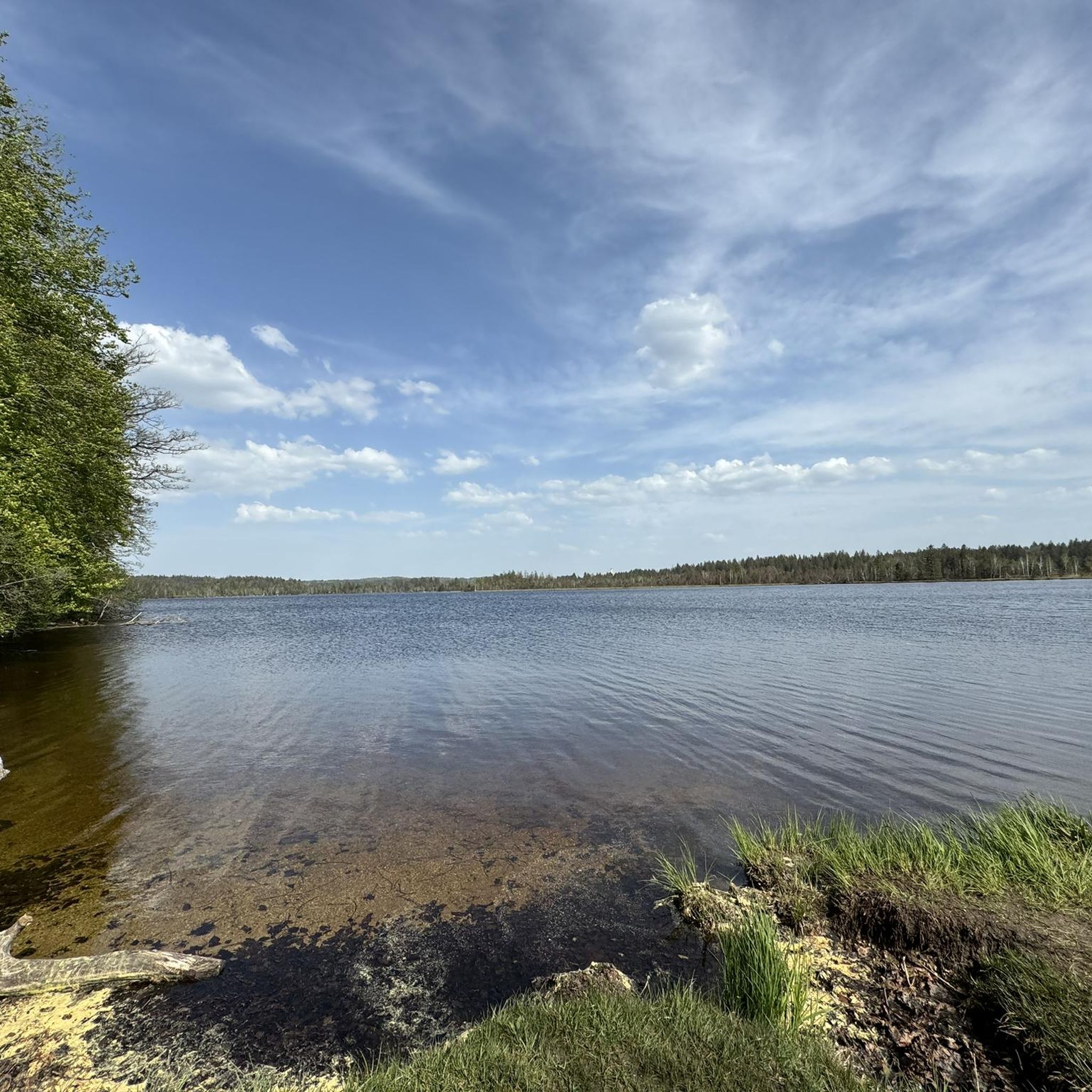
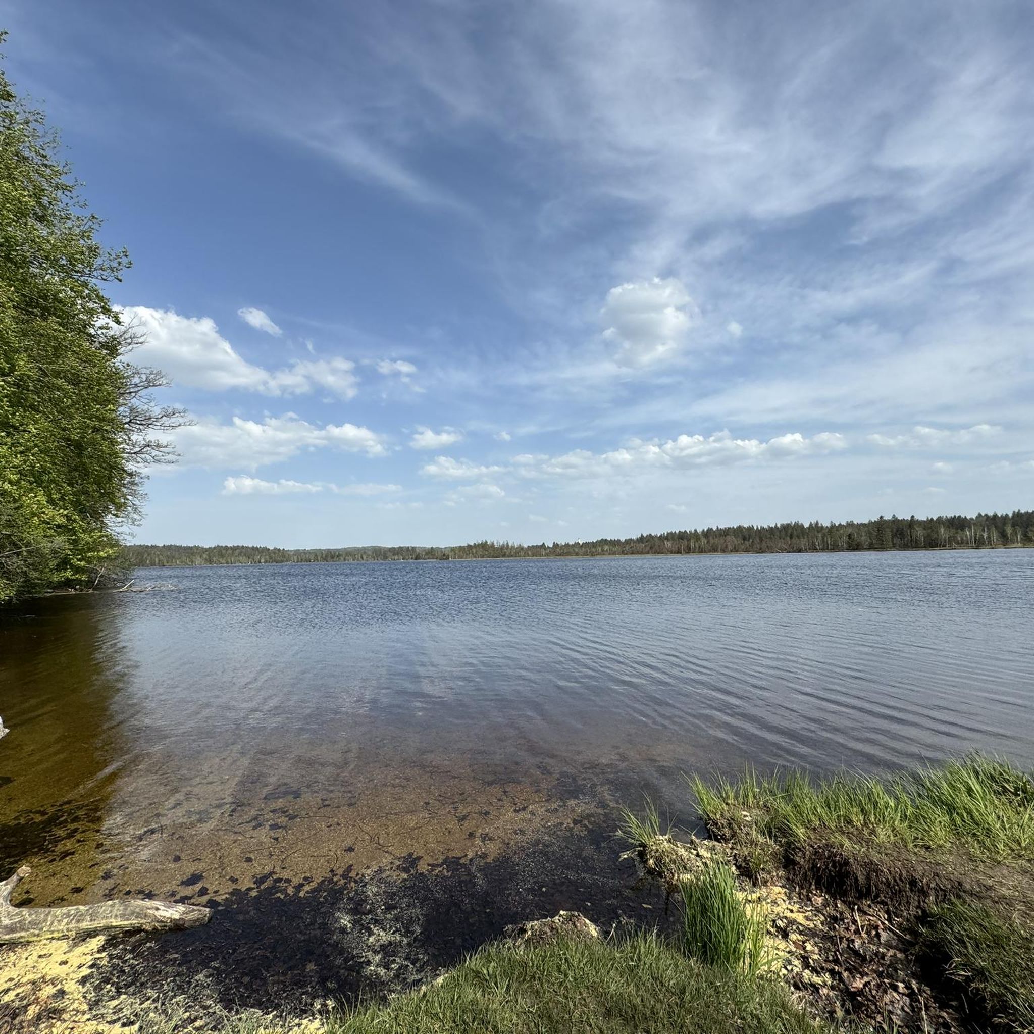
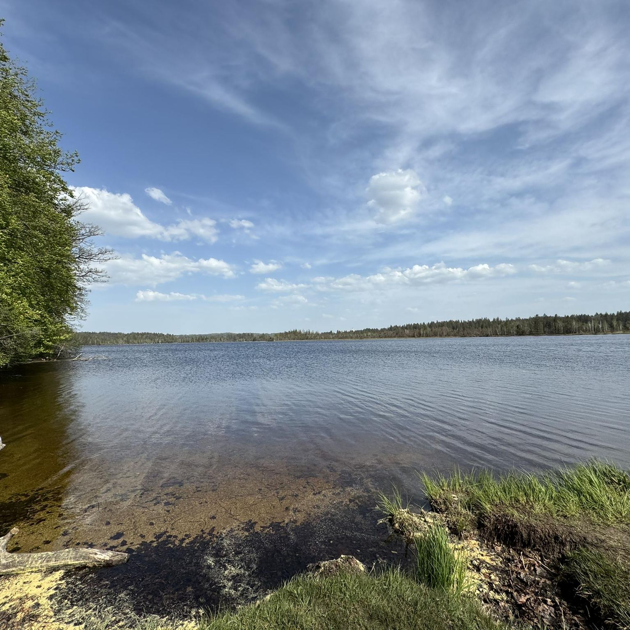
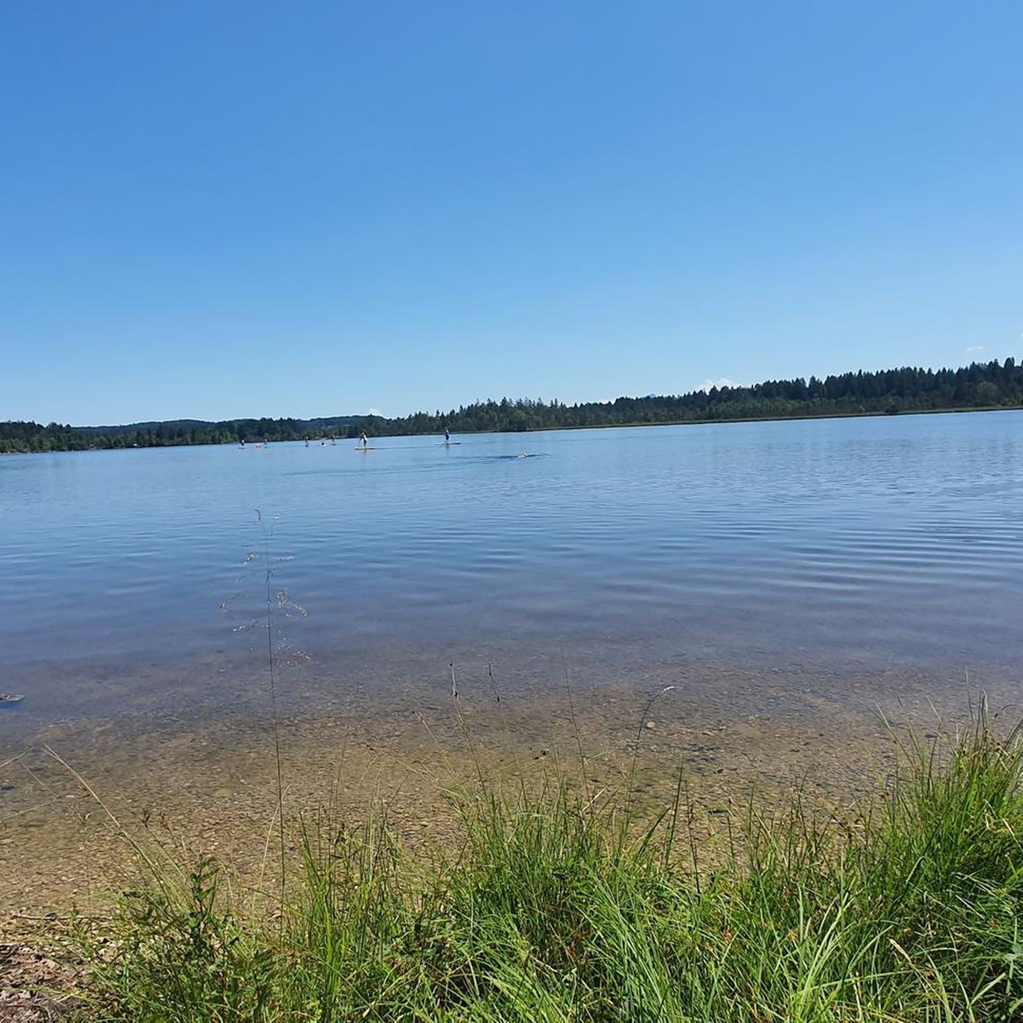
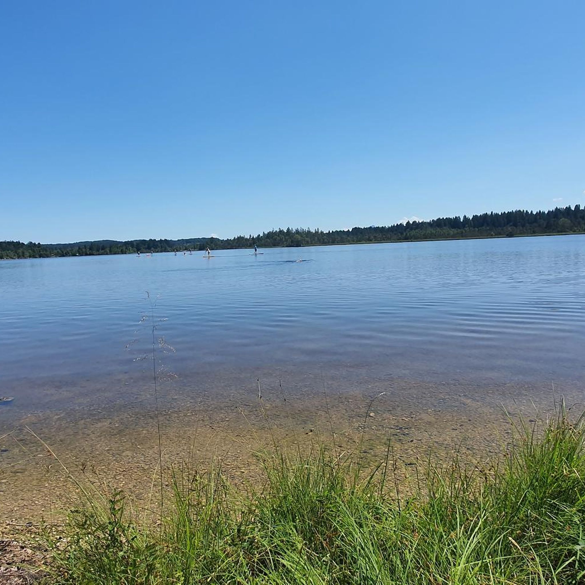
The routes often pass by beautiful natural features. You can enjoy views of the Kirchsee itself, with specific viewpoints like the View over the Kirchsee. Some trails also offer scenic perspectives of the surrounding landscape, including the View of Reutberg.
Are there any places to stop for refreshments or food near the mountaineering trails?
Yes, you can find options for refreshments. For instance, the Café and kiosk "Maikiki" is located near some of the routes, offering a convenient stop for a break and a bite to eat.
What is the best time of year for mountaineering around Kirchsee?
The most favorable time for mountaineering around Kirchsee is typically from late spring through early autumn (May to October). During these months, the weather is generally milder, and the trails are free of snow, offering the best conditions for exploring the forested hills and alpine pastures.
Are the mountaineering trails around Kirchsee suitable for families with children?
Many of the easier routes are suitable for families. The Catholic branch church of St. Martin – Ellbacher Moor loop from Ellbach is an excellent choice for families due to its short distance and minimal elevation gain, providing an enjoyable outdoor experience for all ages.
What do other mountaineers appreciate most about the Kirchsee routes?
The mountaineering routes around Kirchsee are highly rated by the komoot community, with an average score of 4.6 stars. Reviewers often praise the diverse landscape, which includes forested slopes and open alpine pastures, as well as the variety of options available for different ability levels.
Are there any challenging mountaineering routes for experienced hikers?
Absolutely. For experienced mountaineers seeking a challenge, routes like the Rest Area at Schwaigeralm – Schwaiger Alm loop from Bad Tölz offer significant elevation gain and longer distances, providing a demanding and rewarding experience through mountain forests and open areas.
Can I bring my dog on the mountaineering trails around Kirchsee?
Generally, dogs are welcome on most mountaineering trails in the Kirchsee area, provided they are kept on a leash and you follow local regulations regarding waste disposal. It's always a good idea to check specific trail signage for any restrictions, especially in nature reserve areas.
Most popular routes around Kirchsee
Most popular attractions around Kirchsee

Get inspired with the komoot mobile app


Explore more
Browse the best Mountain Hikes & Routes in other regions.
