The best road cycling routes around Schliersee
4.4
(693)
13,760
riders
104
rides
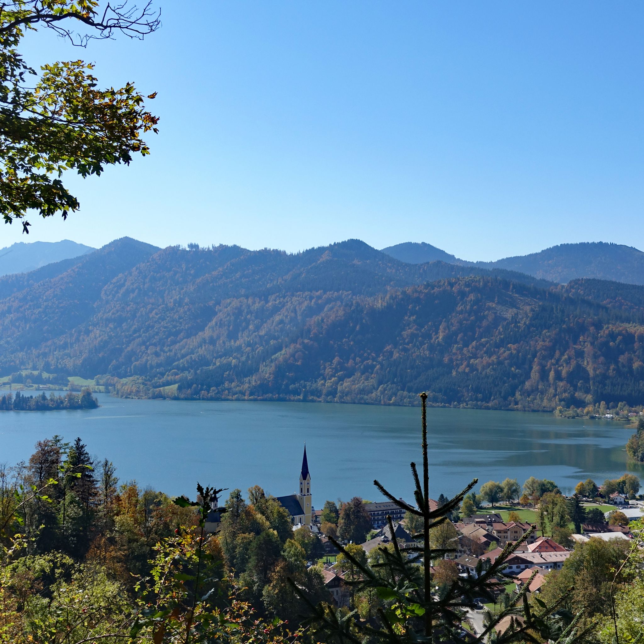
Road cycling routes around Schliersee offer diverse terrain for cyclists of varying abilities. The region is characterized by the lake itself, surrounded by rolling hills and forested areas, leading to higher alpine passes. Road cyclists can expect routes that navigate valleys, ascend to scenic viewpoints, and traverse through rural landscapes. The area provides a mix of challenging climbs and more gentle, undulating paths suitable for different fitness levels.
Best road cycling routes around Schliersee
- The most popular road cycling route is Spitzing Saddle – Spitzingsee loop from Schliersee, a 17.4 miles (28.0 km) trail that takes 1 hour 33 minutes to complete. This moderate route features significant climbs towards the Spitzing Saddle and scenic views of Spitzingsee.
- Another top favourite among local road cyclists is Schliersee – Mühlthal–Weyarn Scenic Route loop from Schliersee, a moderate 30.7 miles (49.5 km) path. This route offers varied terrain through valleys and past the Mangfall River, providing a mix of ascents and flatter sections.
- Local road cyclists also love the Sudelfeld Pass Ascent – Spitzing Saddle loop from Schliersee, a 35.6 miles (57.2 km) trail leading through challenging alpine terrain, often completed in about 3 hours 2 minutes.
- Road cycling around Schliersee is defined by lake views, forested hills, and alpine passes. The network offers options for different ability levels, from easier valley rides to challenging climbs.
- The routes in Schliersee are highly rated by the komoot community with an average score of 4.4 stars from over 600 reviews. More than 13,000 road cyclists have used komoot to explore Schliersee's varied terrain.
Last updated: July 5, 2026
4.5
(8)
251
riders
27.9km
01:33
570m
570m
Moderate road ride. Good fitness required. Mostly well-paved surfaces and easy to ride.
4.1
(8)
119
riders
49.7km
02:21
600m
600m
Moderate road ride. Good fitness required. Mostly well-paved surfaces and easy to ride.

Sign up for free
4.6
(9)
160
riders
37.2km
01:43
350m
350m
Moderate road ride. Good fitness required. Mostly well-paved surfaces and easy to ride.
4.6
(5)
66
riders
Moderate road ride. Good fitness required. Mostly well-paved surfaces and easy to ride.
4.0
(2)
90
riders
52.6km
02:35
670m
670m
Moderate road ride. Good fitness required. Mostly well-paved surfaces and easy to ride.
Get access to more routes and recommendations from other explorers.
Sign up for free
Already have an account?
Our route recommendations are based on thousands of hikes, rides, and runs completed by other people on komoot.
Start today with a free account
Your next adventure awaits.
Login or Signup
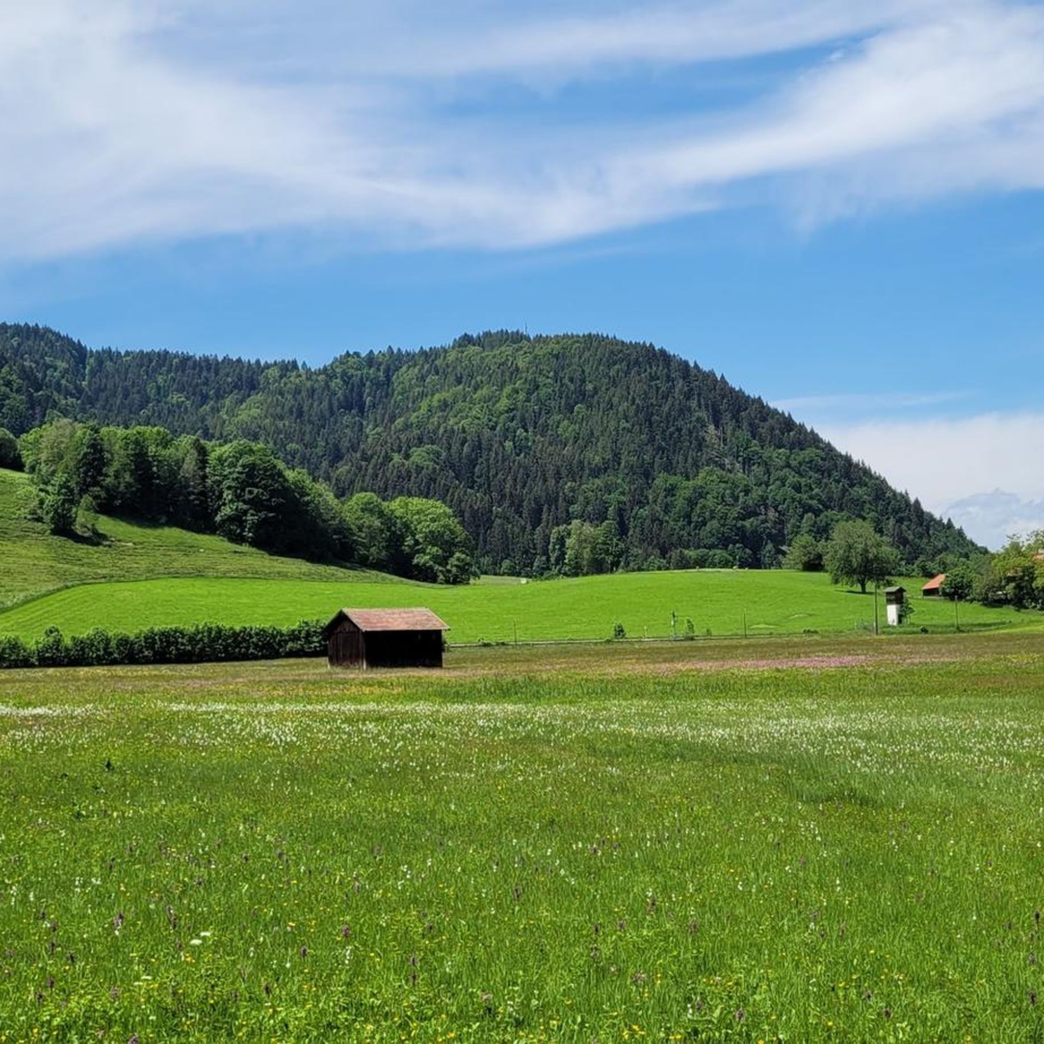
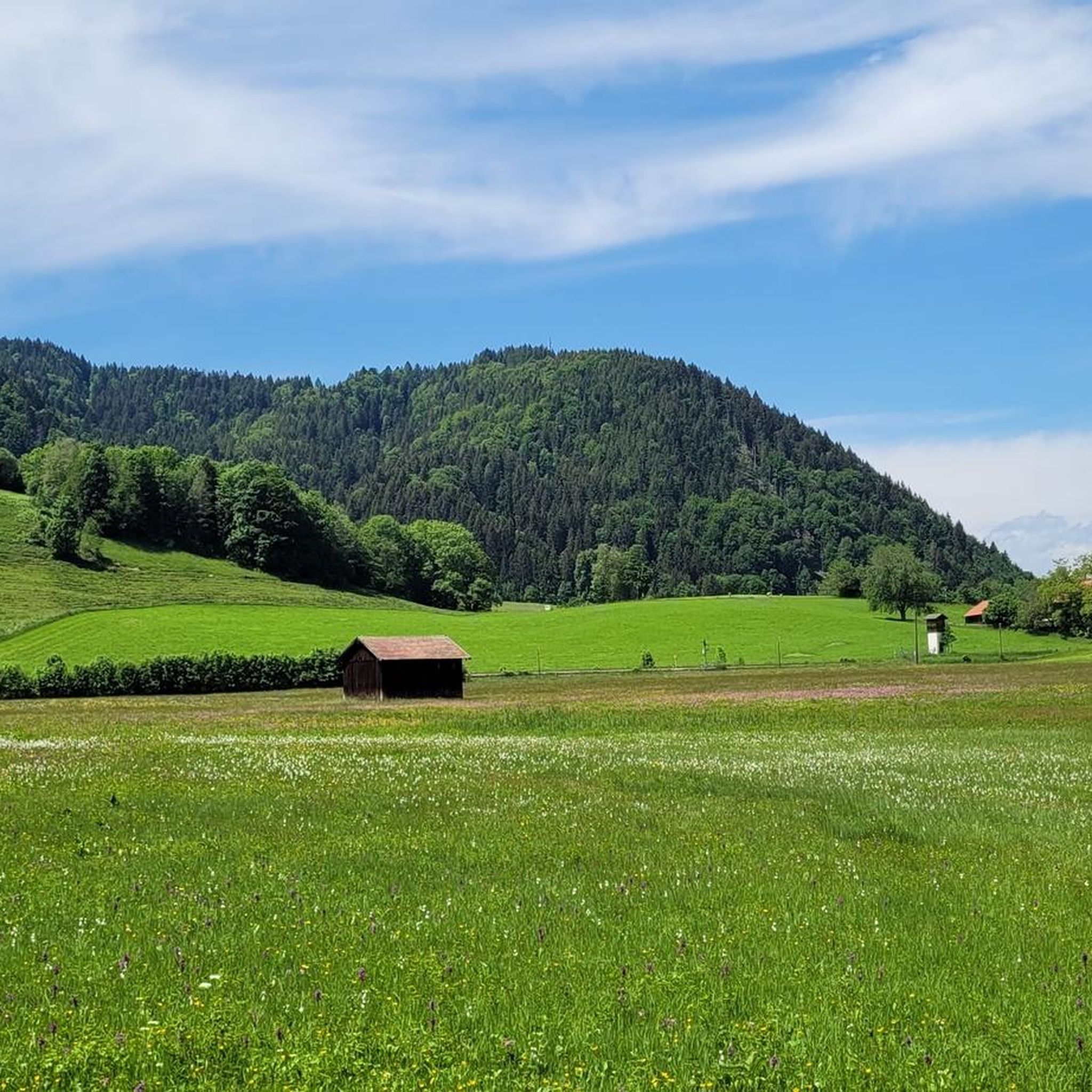
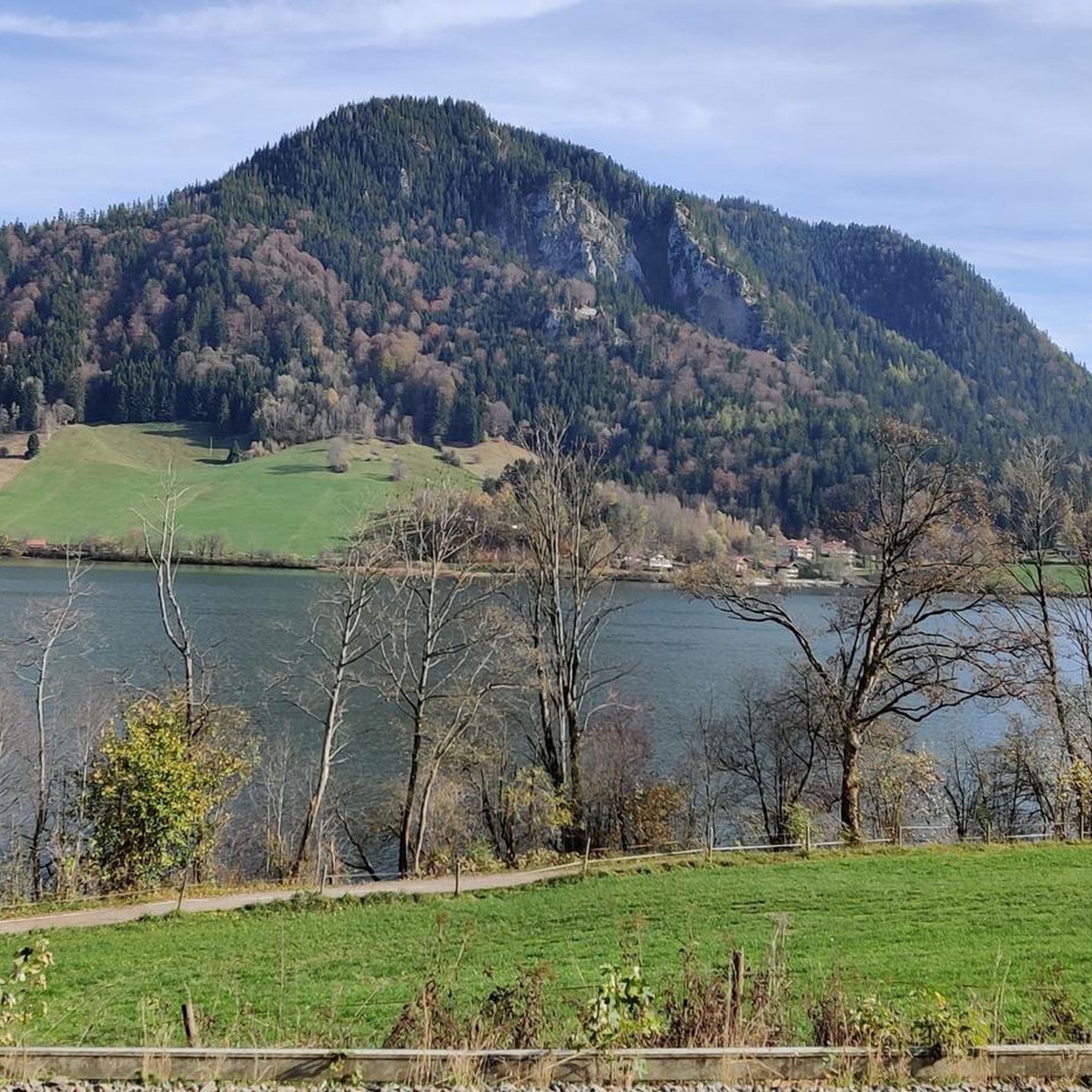

Other adventures around Schliersee

Tips from the Community

Beautiful path, stunning scenery
0
0

Bicycle free of charge, car parking next door subject to charge
0
0

Quiet roads and magnificent panoramas make road biking fun
0
0

Beautiful, expansive view of the mountains! 👍
0
0
The asphalt isn't the best, but the view of the lake makes up for it.
0
0
Due to the high volume of traffic, the cycle path along the lake is worthwhile.
0
0
The descent from the Achen Pass via Kreuth to Rottach-Egern is okay, though not particularly steep, and we unfortunately encountered a lot of traffic. The view of Lake Tegernsee is more than worth it, though!
0
0
Frequently Asked Questions
How many road cycling routes are available around Schliersee?
There are over 100 road cycling routes around Schliersee, catering to various skill levels. You'll find a good mix of easy, moderate, and challenging options to explore the region.
Are there easy road cycling routes suitable for beginners or families?
Yes, Schliersee offers several easier routes. While many routes involve some elevation, there are 19 routes classified as easy. These often follow flatter sections along the lake or through valleys, providing a more relaxed cycling experience.
What are some challenging road bike climbs in the Schliersee area?
For those seeking a challenge, the region features significant climbs. A notable difficult route is the Sudelfeld Pass Ascent – Spitzing Saddle loop from Schliersee, which includes over 1,000 meters of elevation gain and offers a demanding alpine experience.
What kind of scenery can I expect on road cycling routes around Schliersee?
Road cycling around Schliersee is characterized by stunning lake views, forested hills, and alpine passes. Routes often traverse through rural landscapes, offering glimpses of the Lake Schliersee itself, as well as the surrounding mountains and valleys.
Are there any scenic viewpoints or attractions along the road cycling routes?
Many routes offer scenic viewpoints, especially as you gain elevation towards passes like Spitzing Saddle. Along the way, you can also find attractions such as the Lake Schliersee, the Lakeside Rest Area at Schliersee, and the Kneipp facility and barefoot path. Some routes also pass by the Mangfall River.
What is the best time of year for road biking in Schliersee?
The best time for road biking in Schliersee is typically from late spring to early autumn (May to October). During these months, the weather is generally mild, and the alpine passes are clear of snow. Autumn offers particularly beautiful scenery with changing foliage.
Are there cafes or refreshment stops along the road cycling routes?
Yes, many routes pass through villages or near popular spots where you can find cafes, restaurants, or traditional Bavarian beer gardens. For example, the Schlierseer Hof beer garden is a popular spot near the lake.
What do other road cyclists enjoy most about road cycling in Schliersee?
The area is highly rated by the komoot community, with an average score of 4.4 stars from over 600 reviews. Cyclists often praise the diverse terrain, from challenging alpine climbs to scenic lake loops, and the beautiful natural surroundings.
Can I find circular road cycling routes around Schliersee?
Yes, many of the road cycling routes around Schliersee are designed as loops, allowing you to start and end in the same location. Examples include the Spitzing Saddle – Spitzingsee loop from Schliersee and the Schliersee – Mühlthal–Weyarn Scenic Route loop from Schliersee.
Is public transport road bike friendly in the Schliersee region?
The Schliersee region is generally accessible by public transport, particularly by train from Munich. While trains typically allow bikes outside of peak hours, it's advisable to check specific operator rules and potential surcharges for bike transport before planning your journey.
Where can I find parking near road bike trailheads in Schliersee?
Parking is available in and around the town of Schliersee, often near the lake or at designated parking areas. Many routes start directly from the town, making it convenient to park and begin your ride. Specific parking availability can vary, so checking local signage is recommended.
Are there any routes that offer views of other lakes besides Schliersee?
Yes, some routes extend to offer views of neighboring lakes. For instance, the View of Lake Tegernsee – View of Rottach-Egern loop from Schliersee provides scenic vistas of Lake Tegernsee and the charming town of Rottach-Egern.
Most popular routes around Schliersee
Most popular attractions around Schliersee

Get inspired with the komoot mobile app


Explore more
Browse the best Road cycling routes in other regions.
