The best mountain hikes around Froschhauser Lake
4.8
(157)
1,749
hikers
38
hikes
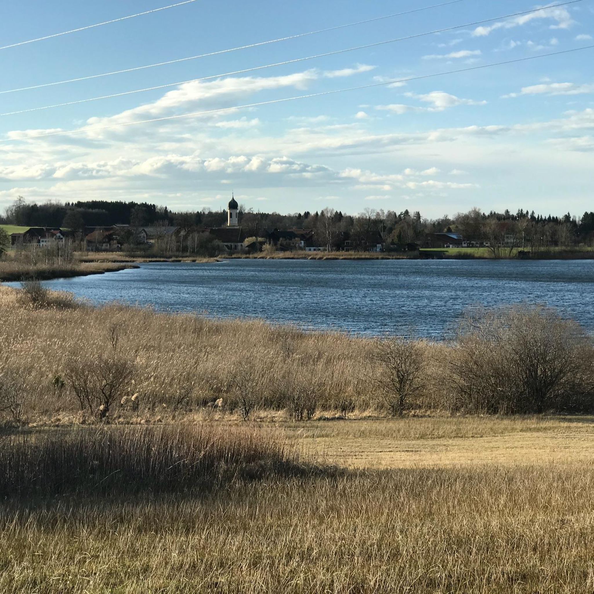
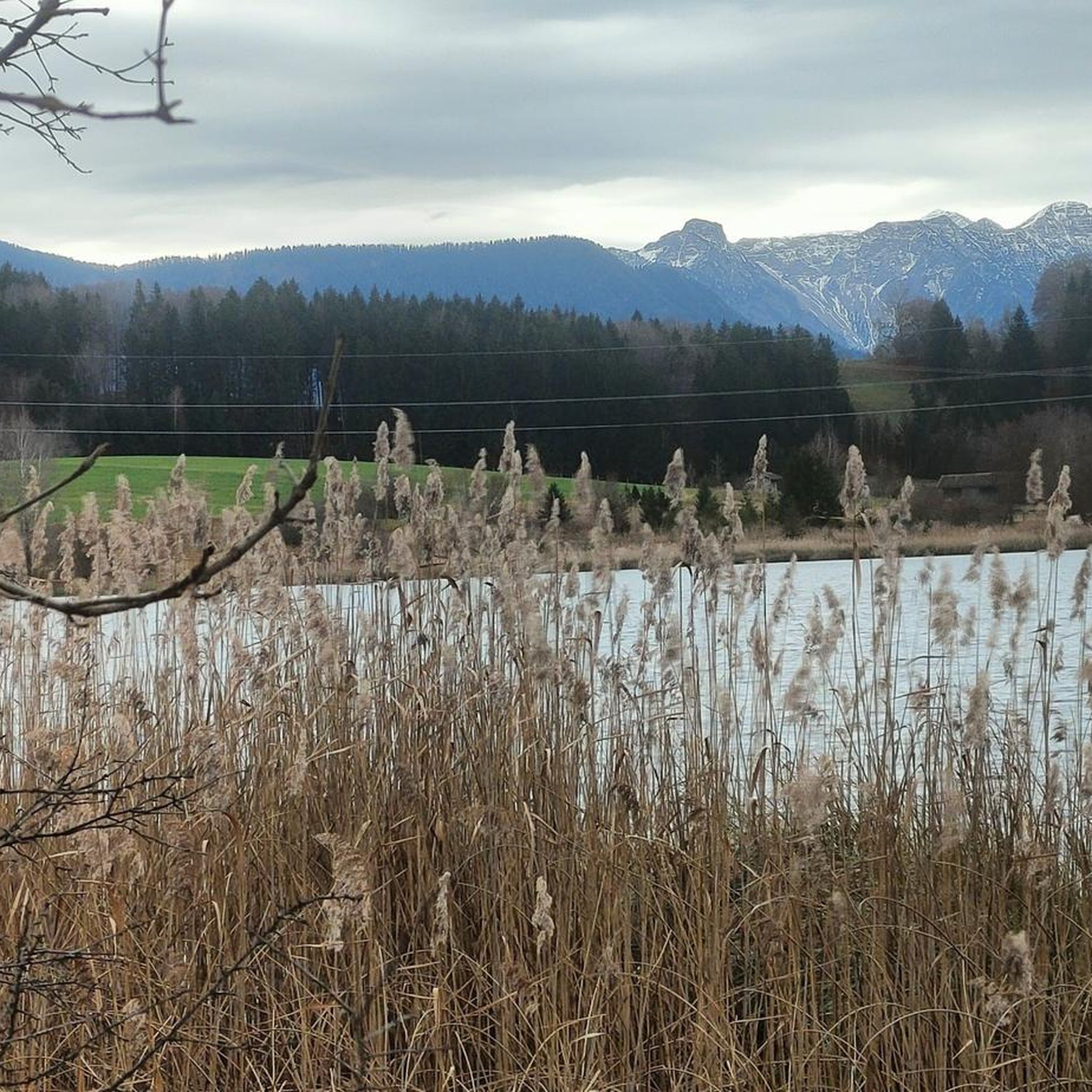
Mountaineering around Froschhauser Lake offers access to the diverse landscapes of the Upper Bavarian Alps and the "Blue Land" region. The area is characterized by serene lake environments, extensive lowland and limestone moors, and panoramic views of ranges such as the Ammergau Alps, Wetterstein, and Ester Mountains. This strategic location provides a gateway to various mountain hiking and mountaineering routes, ranging from moderate ascents to challenging summit climbs.
Best mountaineering routes around Froschhauser Lake
- The most popular mountaineering route is…
Last updated: July 1, 2026
2
hikers
9.53km
02:28
60m
60m
Moderate mountaineering route. Good fitness required. Easily-accessible paths. Suitable for all skill levels.
2
hikers
10.8km
02:50
90m
90m
Moderate mountaineering route. Good fitness required. Easily-accessible paths. Suitable for all skill levels.

Sign up for free
4.8
(46)
439
hikers
16.6km
07:12
1,120m
1,120m
Hard mountaineering route. Very good fitness required. Mostly accessible paths. Sure-footedness required.
4.8
(26)
253
hikers
14.1km
06:50
1,110m
1,110m
Hard mountaineering route. Very good fitness required. Mostly accessible paths. Sure-footedness required.
4.9
(13)
120
hikers
11.1km
04:19
640m
640m
Moderate mountaineering route. Good fitness required. Mostly accessible paths. Sure-footedness required.
Get access to more routes and recommendations from other explorers.
Sign up for free
Already have an account?
Our route recommendations are based on thousands of hikes, rides, and runs completed by other people on komoot.
Start today with a free account
Your next adventure awaits.
Login or Signup
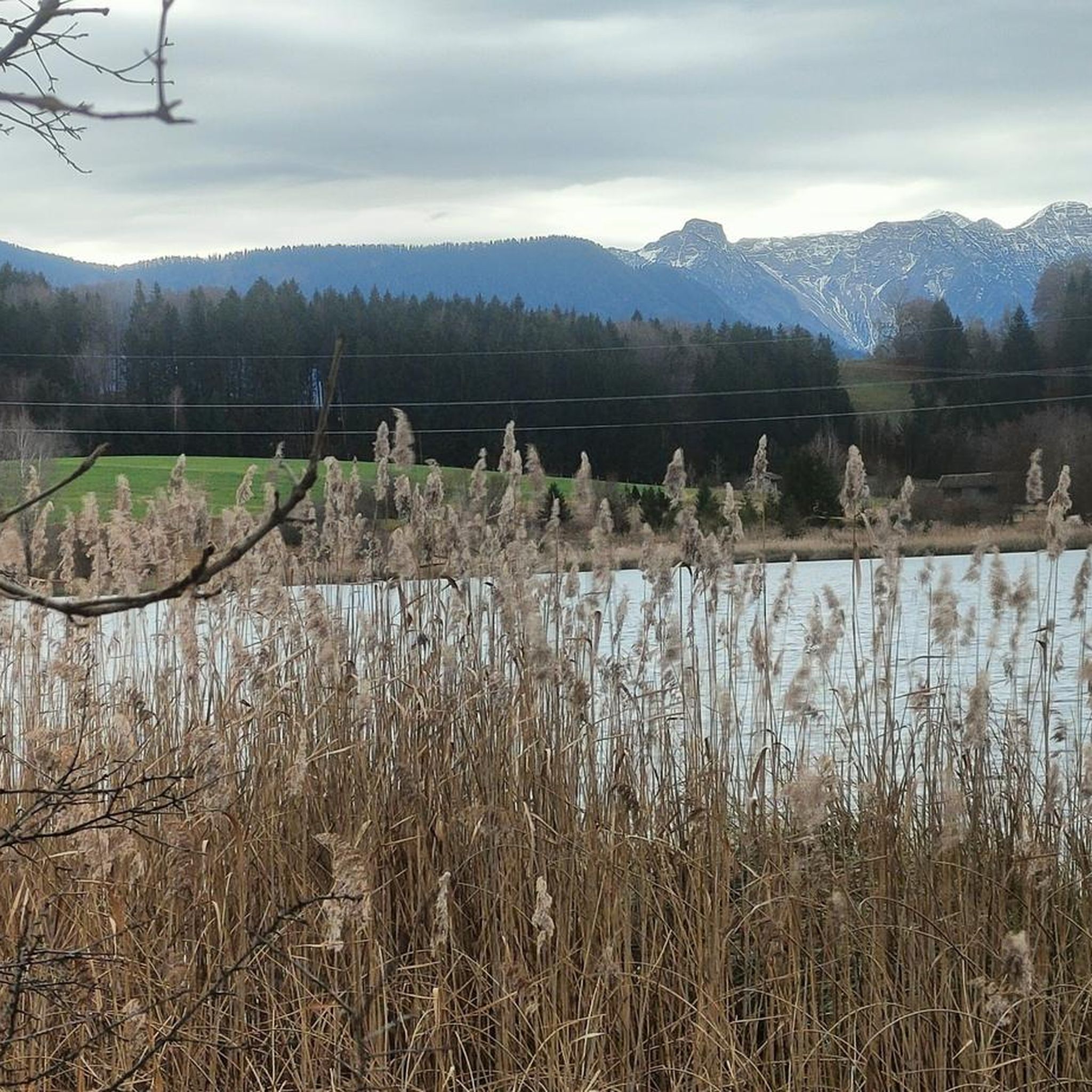
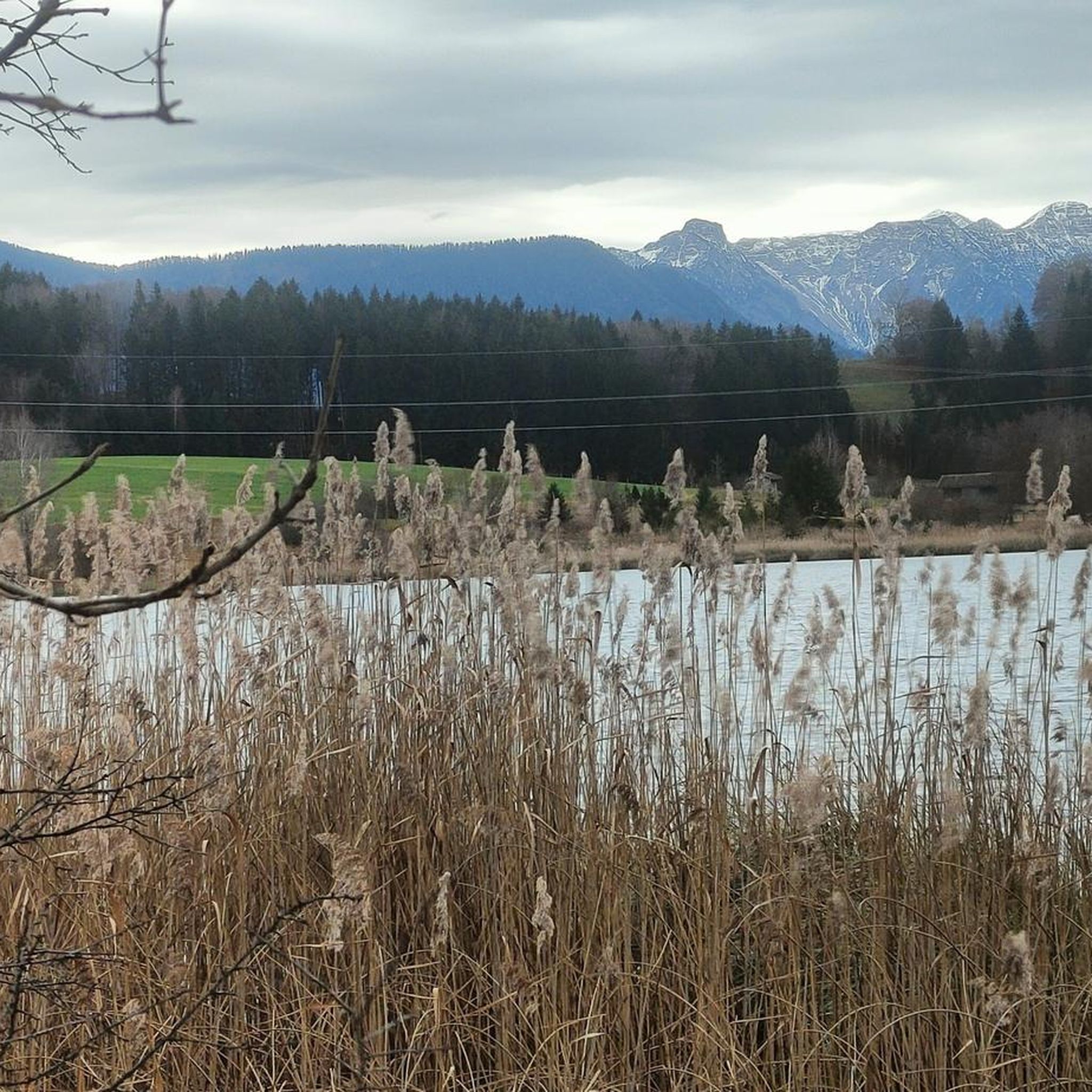
Tips from the Community

Much lonelier than its neighbor, the Heimgarten, is the 1590 m high Rauheck. But the view to the north is also very beautiful from there. And near the summit cross, there is also the Asam-Punkt, the summit cross and three church towers (Ohlstadt, Weichs and Ähndl) on a straight line of sight, determined by the Murnau doctor Dr. Stefan Asam in the year 1850.
0
0

Great trail above the Riegsee, with a beautiful view of the Alps
2
0
Beautiful spot for swimming at Riegsee
1
0
Beautiful lawn and bathing area at Froschhauser See
3
0

Good view over the lake and the mountains
1
0

The climb is challenging, but the view from the top is sensational.
1
1
Beautiful view from the campsite over the Riegsee to the mountains
3
0
Frequently Asked Questions
How many mountaineering routes are available around Froschhauser Lake?
There are over 40 mountaineering routes around Froschhauser Lake, offering a wide range of options from moderate mountain hikes to challenging summit climbs. This includes 2 easy, 18 moderate, and 21 difficult routes.
What kind of terrain can I expect on mountaineering routes near Froschhauser Lake?
The terrain varies significantly, from serene lake environments and extensive lowland and limestone moors to rugged alpine paths leading to prominent peaks. You'll encounter diverse landscapes characteristic of the Upper Bavarian Alps and the 'Blue Land' region.
Are there any routes that feature waterfalls?
Yes, several routes incorporate waterfalls. For a challenging experience, consider the Kaltenbach Waterfall – Heimgarten Summit (1,790 m) loop from Ohlstadt, which leads through mountainous terrain to a prominent summit. Another option is the moderate Great Illing Summit – Kaltwasser Waterfalls loop from Ohlstadt.
What are the best times of year for mountaineering around Froschhauser Lake?
The region is generally excellent for mountaineering from late spring through early autumn. The natural, warm waters of Froschhauser Lake are particularly inviting in summer, and the surrounding meadows are vibrant. However, the panoramic mountain views are stunning year-round, with winter offering opportunities for snowshoeing or ski touring on suitable routes.
Are there any family-friendly mountaineering options?
While many routes are geared towards moderate to difficult mountaineering, the 'Blue Land' region offers a network of hiking trails with varying difficulty. For families, it's best to look for routes with lower elevation gain and shorter distances, often found closer to the lake or in the moorlands, which provide unique natural experiences without extreme challenges.
Can I bring my dog on the mountaineering trails?
Many trails in the Froschhauser Lake area and the broader 'Blue Land' region are dog-friendly. However, it's always advisable to check specific route details for any restrictions, especially in nature reserve areas like the Murnauer Moos, and to keep dogs on a leash to protect wildlife and other hikers.
Are there circular mountaineering routes available?
Yes, there are several circular routes. For example, the moderate View of Riegsee – View of Riegsee and the Alps loop from Riegsee offers scenic views of Riegsee and the surrounding Alpine landscape. Another popular choice is the View of Riegsee and the Alps – View of Riegsee loop from Riegsee, also a moderate circular path.
What kind of views and landmarks can I expect on these routes?
Mountaineering around Froschhauser Lake offers breathtaking panoramic views of the Ammergau Alps, Wetterstein, and Ester Mountains. You'll also encounter serene lake environments, expansive moorlands like the Murnauer Moos, and potentially prominent peaks such as Heimgarten (1,790 m) or Hirschberg (1,659 m), which can be reached via routes like the difficult Ohlstadt Whetstone Mill – Hirschberg Summit (1,659 m) loop from Ohlstadt.
What do other mountaineers enjoy most about Froschhauser Lake?
The area is highly rated by the komoot community, with an average score of 4.8 stars from over 150 reviews. Reviewers often praise the diverse landscapes, from tranquil lake views to challenging alpine ascents, and the stunning panoramic mountain backdrops.
Are there options for advanced mountaineers seeking a challenge?
Absolutely. The region offers 21 difficult routes for experienced mountaineers. These routes often involve significant elevation gain and longer distances, leading to prominent summits in the Bavarian Alps. Examples include ascents towards Heimgarten or Hirschberg, providing demanding but rewarding experiences.
Is public transport available to reach trailheads around Froschhauser Lake?
Froschhauser Lake is situated near Murnau am Staffelsee, which serves as an excellent gateway to the surrounding mountainous regions. Public transport options, including regional buses and trains, connect Murnau to various starting points for hikes and mountaineering tours. It's advisable to check local transport schedules for specific trailhead access.
Are there places to eat or stay near the mountaineering routes?
The town of Murnau am Staffelsee, close to Froschhauser Lake, offers a range of cafes, restaurants, and accommodation options. You'll find places to refuel and relax after your mountaineering adventures, providing a convenient base for exploring the 'Blue Land' region and the Bavarian Alps.
Most popular routes around Froschhauser Lake

Get inspired with the komoot mobile app


Explore more
Browse the best Mountain Hikes & Routes in other regions.
