The best road cycling routes around Murner Lake
4.6
(401)
3,865
riders
10
rides
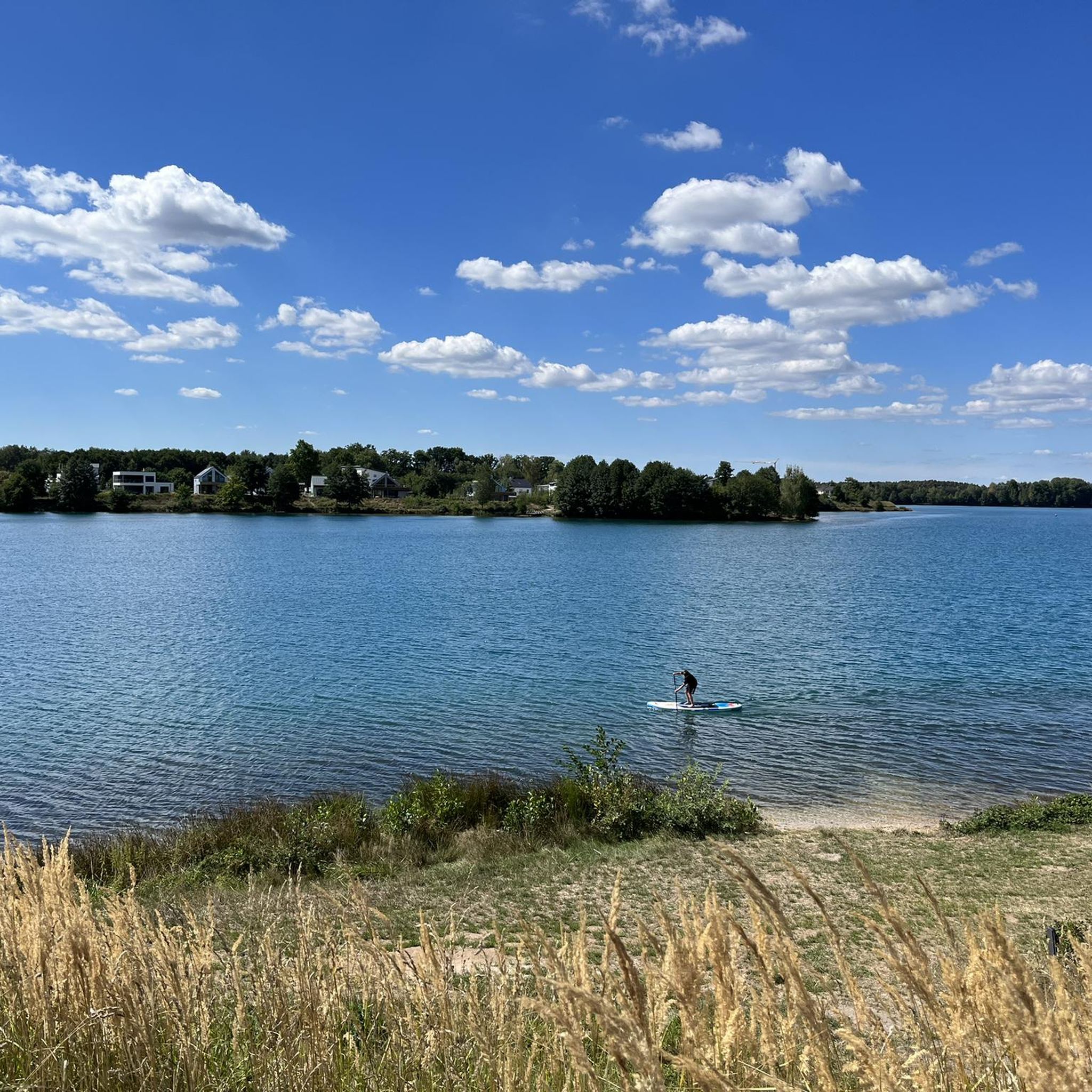
Road cycling routes around Murner Lake traverse a landscape characterized by the lake itself, surrounding woodlands, and gently rolling terrain. The region, situated in Schwandorf, offers a mix of flat sections near the water and moderate climbs through rural areas. Road cyclists can expect varied scenery, including views of Murner Lake and nearby Lake Steinberg, alongside passages through small villages and agricultural land.
Best road cycling routes around Murner Lake
- The most popular road cycling route is Lake Steinberg loop…
Last updated: October 21, 2026
14
riders
18.9km
00:59
170m
170m
Moderate road ride. Great for any fitness level. Some segments of this route may be unpaved and difficult to ride.
4
riders
67.3km
03:14
750m
750m
Moderate road ride. Good fitness required. Mostly well-paved surfaces and easy to ride.

11
riders
71.6km
03:10
630m
630m
Moderate road ride. Good fitness required. Some segments of this route may be unpaved and difficult to ride.
9
riders
32.8km
01:24
220m
220m
Easy road ride. Great for any fitness level. Mostly well-paved surfaces and easy to ride.
11
riders
54.7km
02:40
590m
590m
Moderate road ride. Good fitness required. Mostly well-paved surfaces and easy to ride.
Get access to more routes and recommendations from other explorers.
Already have an account?
Our route recommendations are based on thousands of hikes, rides, and runs completed by other people on komoot.
Start today with a free account
Your next adventure awaits.

Other adventures around Murner Lake

Tips from the Community

From here you can watch the wakeboarders very nicely. A cozy spot. And I love watching the wakeboarders on their course.
1
0

Lake Steinberger Lake Steinberger is part of the Upper Palatinate Lake District and, with an area of 1.84 km², is the largest lake in the Upper Palatinate. It was named after the municipality of Steinberg am See. It is 1.98 km long, 1.4 km wide, and has a maximum depth of 50 meters. The Schreckerbach stream feeds and drains the lake. After the Bavarian lignite industry ceased mining operations in the mid-1980s, the open-cast mine "Steinberger See" was flooded by reducing the water level. Remaining mining equipment was demolished and still lies on the lakebed. Two small, wooded islands also remain, which now divide the lake into a northern and a southern section. In the following decades, tourism developed at Lake Steinberger, bringing a degree of economic growth to the region. In addition to the Steinberger Yacht Club (SYC), founded in 1987, the area now boasts a sailing school, a water ski lift, a boat rental, a leisure park for families and children, a surf club, and most recently, an adventure golf course and a roughly 40-meter-high wooden "adventure sphere" with viewing platforms, an obstacle course, and a giant slide. Numerous restaurants, inns, and cafés complement the leisure offerings. A water rescue station has been established for the safety of visitors. Due to the increasing improvement in water quality and visibility in recent years, Lake Steinberger has become one of the most popular diving areas in the Upper Palatinate. Like all lakes in the Upper Palatinate Lake District, which originated from lignite mines, the water is acidic due to leaching. Because of the ongoing improvement in water quality, fish populations are steadily increasing. Perch and the occasional pike have been observed most frequently. The water is very clean; on windless days, visibility is possible to a depth of at least 10 meters. Occasionally, the tops of dead trees can be seen on the bottom. According to the ordinance issued by the Schwandorf District Office on August 8, 2002, the entire Steinberger See is open for diving. Especially in summer and winter, very good visibility (up to 20 meters) has been possible in recent years. Source: Excerpts from www.wikipedia.de
5
0

A wonderful challenge: climbing up the motorway towards Dölnitz
0
0

This is not Neunburg, but Schwandorf an der Naab
3
0

Fantastic, and very quiet
1
0

Catholic church of the Schwarzenfeld-Stulln parish community. The newly built church was consecrated in 1954.
0
0

Beautiful path around the lake, unfortunately a bit crowded in summer
3
0

The view of the wakeboarding facility is a great place to enjoy water sports for all ages, a sunbathing lawn and the beach volleyball court with a great view.
1
0
Frequently Asked Questions
How many road cycling routes are available around Murner Lake?
There are over 10 road cycling routes around Murner Lake, offering a variety of distances and elevation profiles. The region provides options for different skill levels, from easy loops to more challenging rides.
Are there easy road cycling routes around Murner Lake?
Yes, the Murner Lake area offers several easy road cycling routes. For instance, the Schwandorf Market Square – Fronberg Castle loop from Schwandorf Airfield is an easy 20.8 miles (33.4 km) route with moderate elevation changes, suitable for beginners or those seeking a relaxed ride.
What are some challenging road cycling routes around Murner Lake?
For a more challenging experience, consider the Descent to Wolfring – Wölsenberg Ascent loop from Schwandorf Airfield. This moderate 41.8 miles (67.3 km) route features significant elevation changes, including notable descents and ascents through varied terrain.
Are there circular road cycling routes available around Murner Lake?
Many of the road cycling routes around Murner Lake are designed as loops, allowing you to start and end at the same point. An example is the Fronberg Castle – Wolfringmühle loop from Rauberweiherhaus, a 44.3 miles (71.3 km) trail through historical areas and rural landscapes.
When is the best time of year for road cycling around Murner Lake?
The best time for road cycling around Murner Lake is typically from spring through autumn, when the weather is mild and the scenery is vibrant. During these seasons, you can fully enjoy the lake views, woodlands, and rolling hills without the challenges of winter conditions.
Can I go road cycling around Murner Lake in winter?
While some dedicated cyclists may ride year-round, winter road cycling around Murner Lake can be challenging due to colder temperatures and potential for ice or snow. It's advisable to check local weather conditions and road accessibility before planning a winter ride.
What attractions can I see while road cycling near Murner Lake?
Road cycling routes often pass by various points of interest. You can enjoy views of Lake Murner, visit the View of Lake Murnersee, or stop at the Observation Tower at Murner See for panoramic vistas. Some routes also go through areas with historical significance, such as near Fronberg Castle.
Are there places to stop for refreshments along the road cycling routes?
Yes, you can find places to stop for refreshments. The Seaside at Murner Lake is one option, offering a spot to relax and refuel. Many routes also pass through small villages where local cafes or inns might be available.
What do other road cyclists say about the routes around Murner Lake?
The road cycling routes around Murner Lake are highly rated by the komoot community, with an average score of 4.7 stars from over 360 reviews. Cyclists often praise the varied scenery, including lake views and woodlands, and the mix of flat sections and rolling terrain.
Where can I park when road cycling around Murner Lake?
Many routes, such as those starting from Schwandorf Airfield or Rauberweiherhaus, offer convenient starting points that typically have parking facilities nearby. It's recommended to check the specific route details on komoot for parking information at your chosen starting location.
Is Murner Lake accessible by public transport for road cyclists?
While specific public transport options directly to trailheads might vary, the region around Murner Lake is generally accessible. Schwandorf, a nearby town, has train connections, and from there, local buses or a short ride could take you to popular starting points for road cycling routes.
Are there less crowded road cycling routes around Murner Lake?
While popular routes can see more traffic, exploring some of the longer or slightly more challenging routes, or cycling during off-peak hours (weekdays, early mornings), can lead to a more serene experience. The region's network of routes offers enough variety to find quieter paths, especially through the rural landscapes away from the immediate lake shore.
Most popular routes around Murner Lake
Most popular attractions around Murner Lake

Get inspired with the komoot mobile app


Explore more
Browse the best Road cycling routes in other regions.
