The best road cycling routes around Pullinger Weiher
4.5
(821)
10,951
riders
449
rides
Road cycling routes around Pullinger Weiher traverse a landscape characterized by flat to gently rolling terrain, often alongside lakes and through nature reserves. The region, situated near Freising, features open country roads and agricultural areas, providing a mix of scenic views and accessible paths. Road cyclists can expect routes that often follow river plains and pass through small villages, with minimal elevation changes.
Best road cycling routes around Pullinger Weiher
- The most popular road cycling route is Moosmühlen Fish Farm…
Last updated: June 21, 2026
5.0
(2)
21
riders
Easy road ride. Great for any fitness level. Mostly well-paved surfaces and easy to ride.
15
riders
Moderate road ride. Good fitness required. Some segments of this route may be unpaved and difficult to ride.

Sign up for free
5
riders
Moderate road ride. Good fitness required. Mostly well-paved surfaces and easy to ride.
4
riders
25.2km
01:03
120m
120m
Easy road ride. Great for any fitness level. Mostly well-paved surfaces and easy to ride.
3
riders
Easy road ride. Great for any fitness level. Mostly well-paved surfaces and easy to ride.
Get access to more routes and recommendations from other explorers.
Sign up for free
Already have an account?
Our route recommendations are based on thousands of hikes, rides, and runs completed by other people on komoot.
Start today with a free account
Your next adventure awaits.
Login or Signup
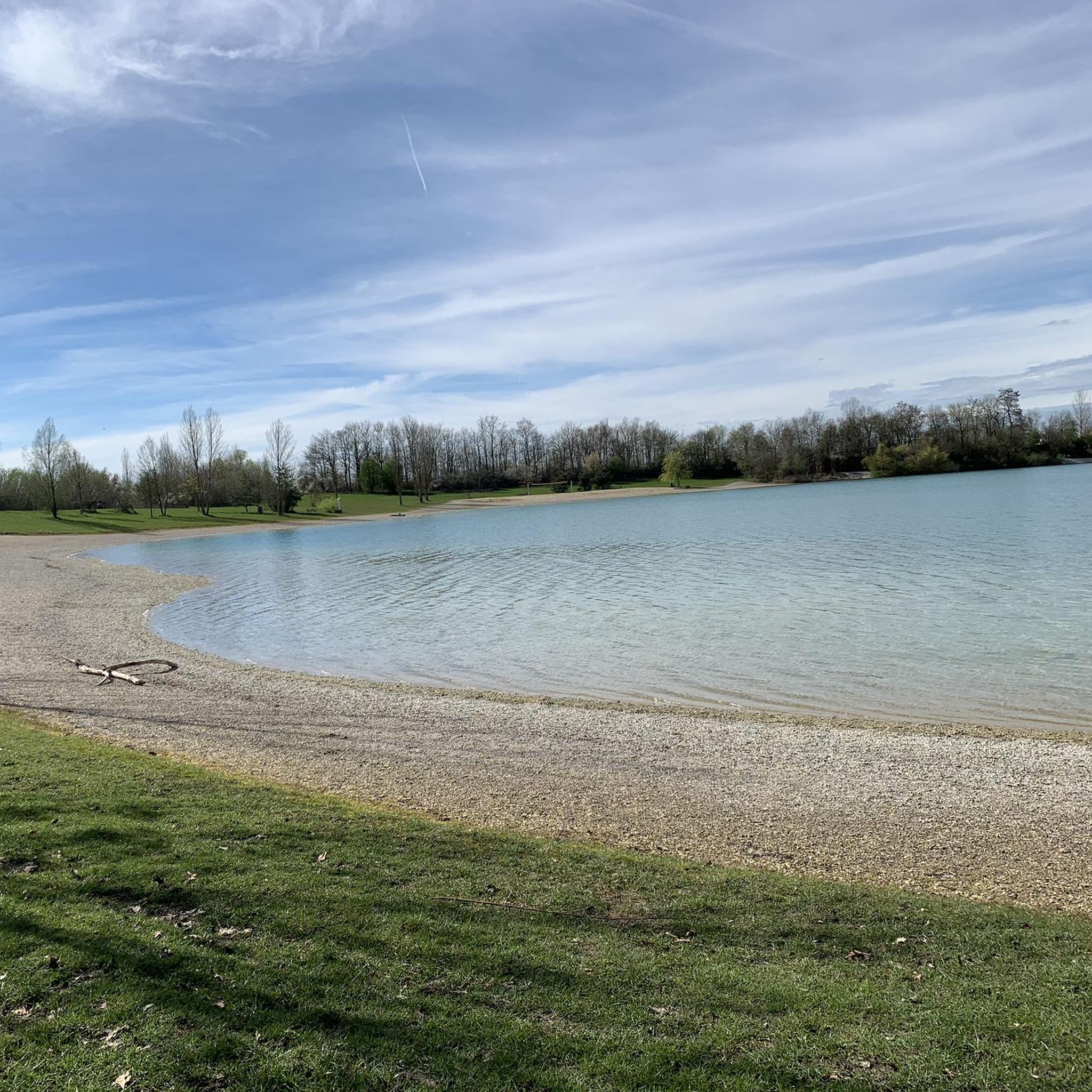

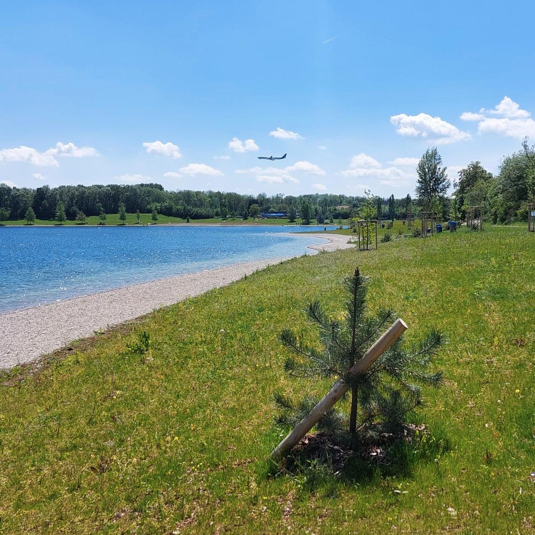
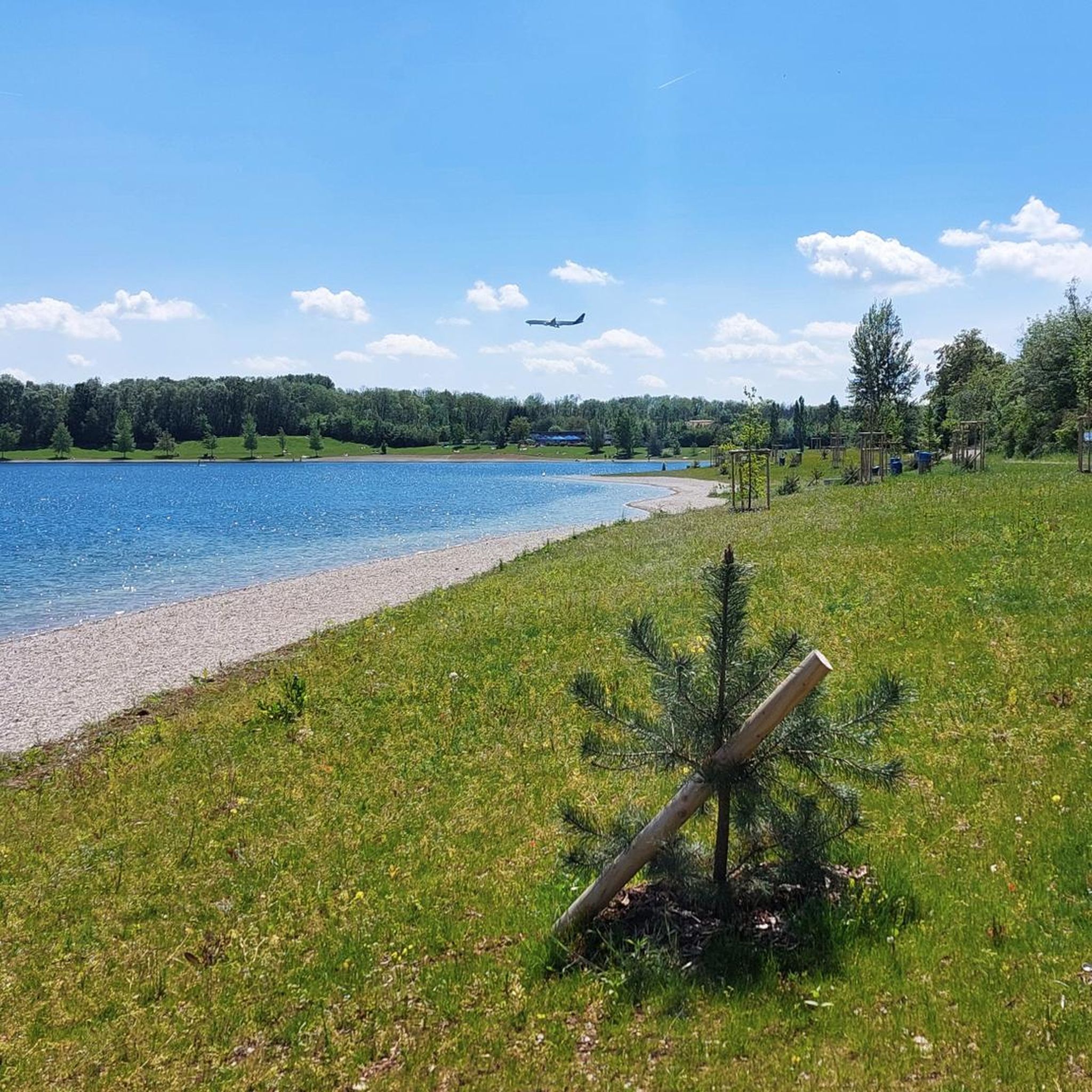
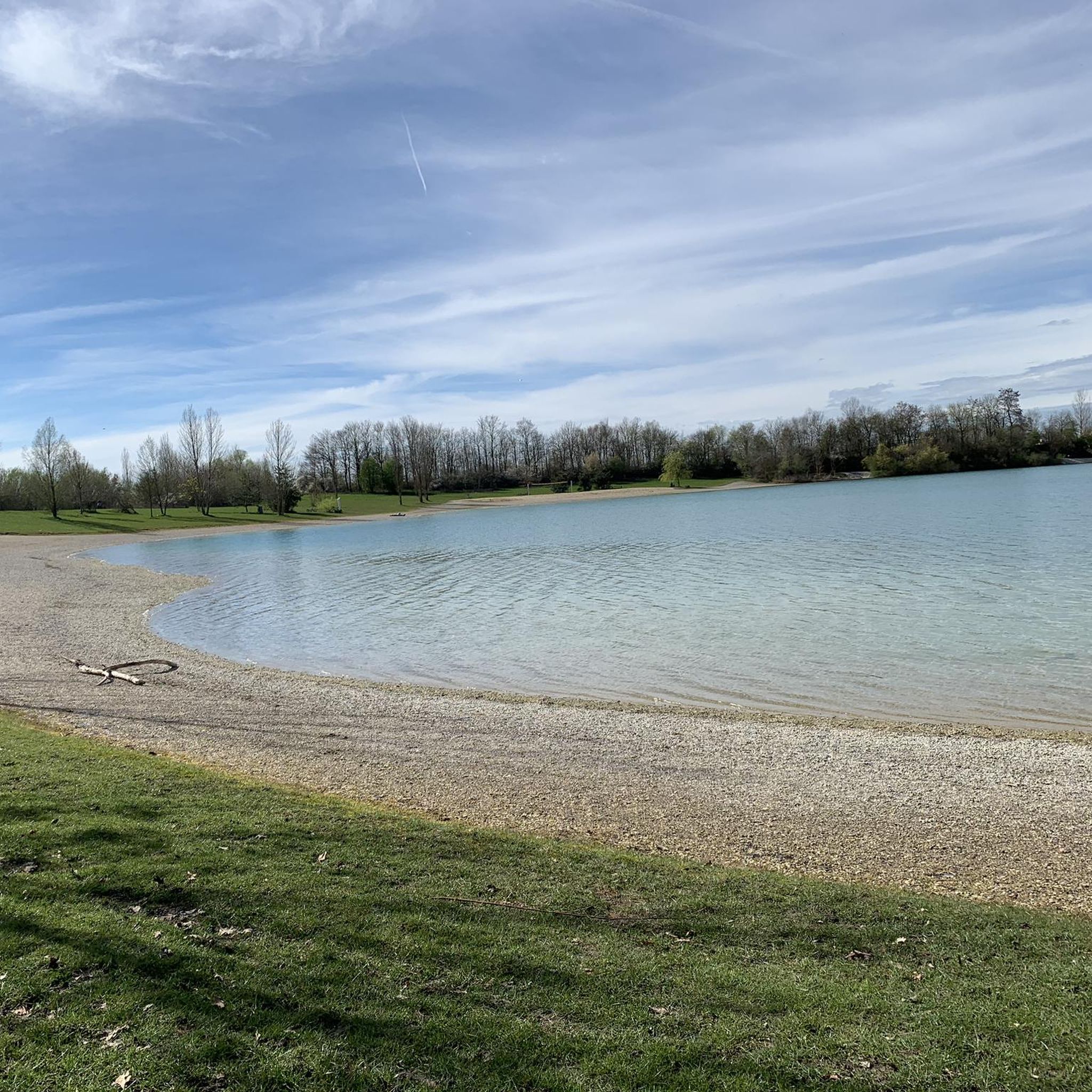
Tips from the Community

Here you can let things flow freely.
0
0
There are great information boards here.
0
0

Commissioned in 1911, 2.4MW output through two Francis turbines
0
0
Built from 1906 to 1910
0
1

Kranzberg power plant on the Amper
1
1

The Glonn Terraces offer not only an ecologically valuable area, but also an experiential river area with an accessible shallow water zone. The seating terraces, the small Glonn Island, and the playground on the riverbank invite you to linger and explore, and offer a refreshing dip in the cool, shallow waters right in the center of town.
0
0

on a quiet road through nature
0
0

Good asphalt and few cars. Plus, you walk through the cultivated fields.
0
0
Frequently Asked Questions
How many road cycling routes are available around Pullinger Weiher?
There are over 470 road cycling routes in the Pullinger Weiher area. This includes a wide variety of options, with more than 120 easy routes, over 320 moderate routes, and around 27 routes considered difficult.
What kind of terrain can I expect on road cycling routes near Pullinger Weiher?
The region around Pullinger Weiher is characterized by flat to gently rolling terrain. You'll often find yourself cycling alongside lakes, through nature reserves, and across open country roads and agricultural areas. The routes generally feature minimal elevation changes, making them accessible for various fitness levels.
Are there family-friendly road cycling routes in Pullinger Weiher?
Yes, many routes are suitable for families due to the predominantly flat terrain. An excellent option is the Moosmühlen Fish Farm loop from Pulling (bei Freising), which is an easy 13.5-mile (21.7 km) trail offering pleasant views of local fish farms and the countryside.
What is the best time of year for road cycling around Pullinger Weiher?
The spring, summer, and early autumn months are generally ideal for road cycling in this region. The weather is typically mild, and the landscapes, including lakes and nature reserves, are at their most vibrant. Always check local weather conditions before heading out.
Are there any circular road cycling routes available?
Yes, many routes are designed as loops. For example, the Echinger Lake – Quiet country road loop from Pulling (bei Freising) is a moderate 34.4-mile (55.4 km) circular path that takes you past Echinger Lake on quiet country roads. Another option is the Freisinger Moos Nature Reserve loop from Pulling (bei Freising), an easy 15.6-mile (25.2 km) route.
What do other road cyclists enjoy most about the routes here?
The komoot community highly rates the road cycling experience around Pullinger Weiher, with an average score of 4.6 stars from over 800 reviews. Cyclists often praise the quiet country roads, the scenic views of lakes and nature reserves, and the generally flat terrain that makes for enjoyable rides.
Are there routes that pass through nature reserves?
Absolutely. The region is known for its nature reserves. The Freisinger Moos Nature Reserve loop from Pulling (bei Freising) is a prime example, leading directly through the Freisinger Moos Nature Reserve, offering a peaceful and scenic ride.
Can I find routes with scenic viewpoints or points of interest?
Many routes offer scenic views, particularly those that pass by lakes or through open countryside. The Echinger Lake – Quiet country road loop from Pulling (bei Freising) provides varied scenery including the lake itself. Routes through agricultural areas also offer expansive views of the surrounding landscape.
How do the road cycling routes in Pullinger Weiher compare to those near Freising?
Pullinger Weiher is situated very close to Freising, and many routes connect or overlap with the Freisinger Moos area. Both regions offer predominantly flat to gently rolling terrain, often following river plains and passing through small villages. The Pullinger Weiher area specifically highlights its lakes and nature reserves, providing a similar but distinct natural cycling experience.
Are there any easy road cycling routes for beginners?
Yes, the area is well-suited for beginners with numerous easy routes. The Moosmühlen Fish Farm loop from Pulling (bei Freising) is an easy 13.5-mile (21.7 km) route with minimal elevation, perfect for those new to road cycling or looking for a relaxed ride.
What are the typical distances and elevation gains for routes in this area?
Routes vary significantly. Easy routes like the Moosmühlen Fish Farm loop are around 13.5 miles (21.7 km) with minimal elevation gain (under 50 meters). Moderate routes, such as the Echinger Lake loop, can be longer, up to 34.4 miles (55.4 km), with elevation gains around 230 meters. The region generally features low elevation changes.
Most popular routes around Pullinger Weiher

Get inspired with the komoot mobile app


Explore more
Browse the best Road cycling routes in other regions.
