The best walks and hikes around North Miami Beach
4.8
(36)
1,469
hikers
53
hikes
Hiking around North Miami Beach explores a landscape of urban parks and natural preserves set against Biscayne Bay. The region is characterized by flat terrain, with paths winding through mangrove forests and subtropical hardwood hammocks. These natural features provide diverse options for walking within the city's green spaces like Oleta River State Park and Greynolds Park. Many routes are paved, offering accessible options for various skill levels.
Best hiking trails around North Miami Beach
- The most popular hiking route is…
Last updated: October 16, 2026
109
hikers
5.75km
01:27
10m
10m
The Don Soffer Exercise Trail offers a wonderfully accessible and scenic escape in Aventura, Florida. This 3.6-mile (5.7 km) paved loop is perfect for a relaxed outing, winding past the…
1
hikers
3.55km
00:54
0m
0m
If you're looking for a truly easy and accessible nature walk, the Bone Yard Trail delivers. This flat, well-maintained path offers a peaceful escape into a lush, green environment, likely…

5.0
(3)
38
hikers
7.71km
01:57
10m
10m
Easy hike. Great for any fitness level. Easily-accessible paths. Suitable for all skill levels.
26
hikers
4.40km
01:07
10m
10m
Easy hike. Great for any fitness level. Easily-accessible paths. Suitable for all skill levels.
22
hikers
Moderate hike. Good fitness required. Easily-accessible paths. Suitable for all skill levels.
Get access to more routes and recommendations from other explorers.
Already have an account?
Our route recommendations are based on thousands of hikes, rides, and runs completed by other people on komoot.
Start today with a free account
Your next adventure awaits.



Tips from the Community

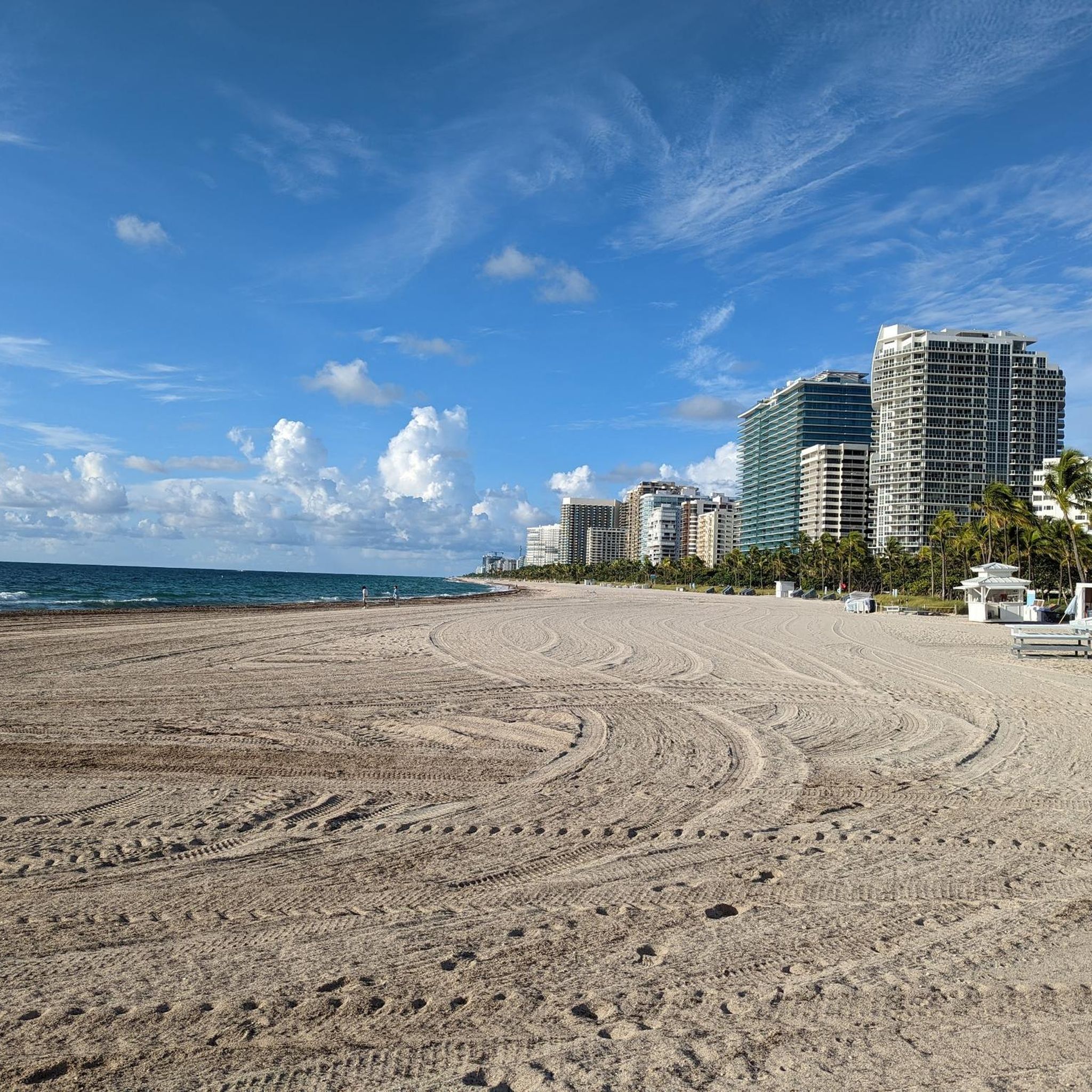
Ocean Terrace Public Beach offers sunbathing, kite surfing, swimming, strolling, and great sunrises and sunsets. Amenities such as public restrooms and outdoor showers are available on-site, and there are some nearby restaurants. With soft, clean sand ideal for barefoot walks and bright turquoise, clear water, the beach is quite popular. Don't be alarmed to see someone without clothes, as this beach is a designated nude beach.
0
0

Ocean Terrace Public Beach is situated between a couple of lifeguard stands and features its own restrooms and beach access area. This sandy beach is great for walking and also offers access to the water.
0
0
Ocean Terrace Public Beach is situated between a couple of lifeguard stands and features its own restrooms and beach access area. This sandy beach is great for walking and also offers access to the water.
2
0

This is an excellent trail system kept together by volunteers. Despite some challenging sections, the trails are well-marked and the route is pleasantly shaded by trees, making it ideal for escaping the South Florida heat. It is a popular family destination, particularly crowded on weekends.
1
0

With this small and free bus line you can travel all over Miami Beach and are sure to experience one or two strange situations 🇺🇸😂
0
0
A very well-kept park that invites you to walk and relax. The park offers barbecue and sports facilities.🇺🇸
1
0
If you like it a little quieter, you can relax perfectly at North Beach and find a fantastic beach for swimming🏖🇺🇸
1
0

Did you bring plenty of sunblock? This is Miami's oldest official clothing-optional beach, and definitely the most famous; it regularly makes worldwide lists of the best nude beaches.
1
0
Frequently Asked Questions
Are there any dog-friendly hiking trails in North Miami Beach?
Yes, many parks in the area are welcoming to dogs on a leash. The Arch Creek East Environmental Preserve is a popular spot for local dog walkers. For a different experience, the Sunny Isles Beach loop from Sunny Isles Beach offers a pleasant coastal walk where your canine companion can join you. Always check specific park regulations before you go.
What are the best places for an easy, family-friendly walk?
North Miami Beach has several great options for families. Enchanted Forest Elaine Gordon Park is a favorite, offering lush scenery and easy jogging trails. For a simple coastal walk, the Haulover Inlet – Surfside Beach loop from Surfside is a flat and accessible route with great water views.
Are there paved trails suitable for strollers or wheelchairs?
Yes, many of the area's parks feature paved paths. Oleta River State Park has a three-mile paved loop that is perfect for strollers and a leisurely walk. Similarly, North Beach Oceanside Park offers well-maintained paths that are great for a stroll along the coast.
What is the terrain like on the hiking trails?
The terrain around North Miami Beach is predominantly flat, making it accessible for most fitness levels. Trails typically consist of paved walkways, sandy beach paths, or packed earth trails through parks. In places like Oleta River State Park, you'll also find trails winding through mangrove forests and subtropical hardwood hammocks.
How many hiking trails are available around North Miami Beach?
There are over 40 hiking routes to explore in and around North Miami Beach. The vast majority of these are rated as easy, with a handful of moderate options for those seeking a slightly longer outing.
What do other hikers think of the trails in this area?
The trails around North Miami Beach are highly regarded by the komoot community, with an average rating of 4.7 out of 5 stars. Hikers often praise the beautiful coastal views, the unique mangrove ecosystems, and the convenience of having such lush green spaces within an urban environment.
Where can I find shaded hiking trails to escape the Florida sun?
For shaded walks, head to the area's nature preserves. Greynolds Park features a significant hardwood hammock that provides a dense canopy. Oleta River State Park also offers shady trails that wind through its mangrove forests, providing a cool escape from the direct sun.
Are there opportunities for birdwatching while hiking?
Absolutely. Greynolds Park is an excellent location for birdwatching, with eco-tours that can take you to a rookery. The diverse habitats, from coastal waters to mangrove forests, attract a wide variety of bird species, making most trails in the area a good bet for spotting local and migratory birds.
What kind of wildlife might I see on a hike?
The parks around North Miami Beach are sanctuaries for diverse wildlife. While exploring the mangrove tunnels and waterways of Oleta River State Park, you might spot manatees. Greynolds Park is home to various birds and other creatures within its hardwood hammock. Arch Creek Park also serves as a sanctuary for native plants and animals.
Do I need to pay for entry at the parks?
Entry fees vary by park. Oleta River State Park, being a state park, typically has a per-vehicle or per-person entrance fee. Many city and county parks like Greynolds Park or Arch Creek Park may have small parking fees or be free to enter. It's always best to check the official park website for the most current fee information before your visit.
Where can I learn about the history of the area while hiking?
For a mix of nature and history, visit Arch Creek Park. The park is centered around a natural limestone bridge that was part of a trail used by the Tequesta and Seminole people. There is a small museum on-site with artifacts that offer a glimpse into the area's past. You can find more details on the official park page.
What are the most popular parks for hiking in North Miami Beach?
Several parks are local favorites for hiking and walking.
Oleta River State Park is Florida's largest urban park and a top destination, known for its mangrove forests and extensive trail system for both hiking and biking.
Greynolds Park is another highly-regarded option, offering beautiful trails through a historic hardwood hammock along the Oleta River.
For a quieter experience that combines nature and history, Arch Creek Park provides a unique setting with its natural limestone bridge and walking trails.
Most popular attractions around North Miami Beach

Get inspired with the komoot mobile app


Explore more
Browse the best Hikes in other regions.
