The best MTB trails around Deutsch-Griffen
4.5
(193)
1,010
riders
55
rides
Mountain biking around Deutsch-Griffen offers a diverse landscape characterized by rolling hills, dense forests, and open meadows. The region features varied terrain with significant elevation changes, providing a range of mountain bike trails Deutsch-Griffen difficulty levels. Many routes traverse through wooded areas and past small lakes, with some trails leading to higher viewpoints. The area's geography supports both moderate and advanced mountain bike trails, making it suitable for different skill sets.
Best mountain bike trails around Deutsch-Griffen
- The most popular…
Last updated: June 26, 2026
10
riders
18.3km
02:04
620m
610m
Moderate mountain bike ride. Good fitness required. Suitable for all skill levels.
4.5
(2)
4
riders
10.0km
01:00
260m
250m
Easy mountain bike ride. Great for any fitness level. Suitable for all skill levels.

Sign up for free
5
riders
19.4km
02:03
550m
550m
Moderate mountain bike ride. Good fitness required. Suitable for all skill levels.
2
riders
21.1km
02:55
990m
990m
Hard mountain bike ride. Very good fitness required. Advanced riding skills necessary. Some portions of the route may require you to push your bike.
4.0
(2)
8
riders
41.4km
03:07
850m
850m
Moderate mountain bike ride. Good fitness required. Suitable for all skill levels.
Get access to more routes and recommendations from other explorers.
Sign up for free
Already have an account?
Our route recommendations are based on thousands of hikes, rides, and runs completed by other people on komoot.
Start today with a free account
Your next adventure awaits.
Login or Signup
Tips from the Community

You should respect the bicycle ban. Apparently, some mountain bikers have ridden off-trail across private meadows in the past, which led to this general ban. It's very sad that we all have to suffer because of this. The farmers and mountain rescue services are very displeased, and depending on who you contact, there could be consequences.
0
0

Please note: The designated route between St. Lorenzen Church and Hochrindl is no longer accessible! A farmer has permanently blocked his meadow with barbed wire, and signs prohibiting bicycles have already been posted.
1
0

Idyllic bathing lake with restaurant and sunbathing lawn
1
0
Beautifully landscaped bathing lake with restaurant
1
0

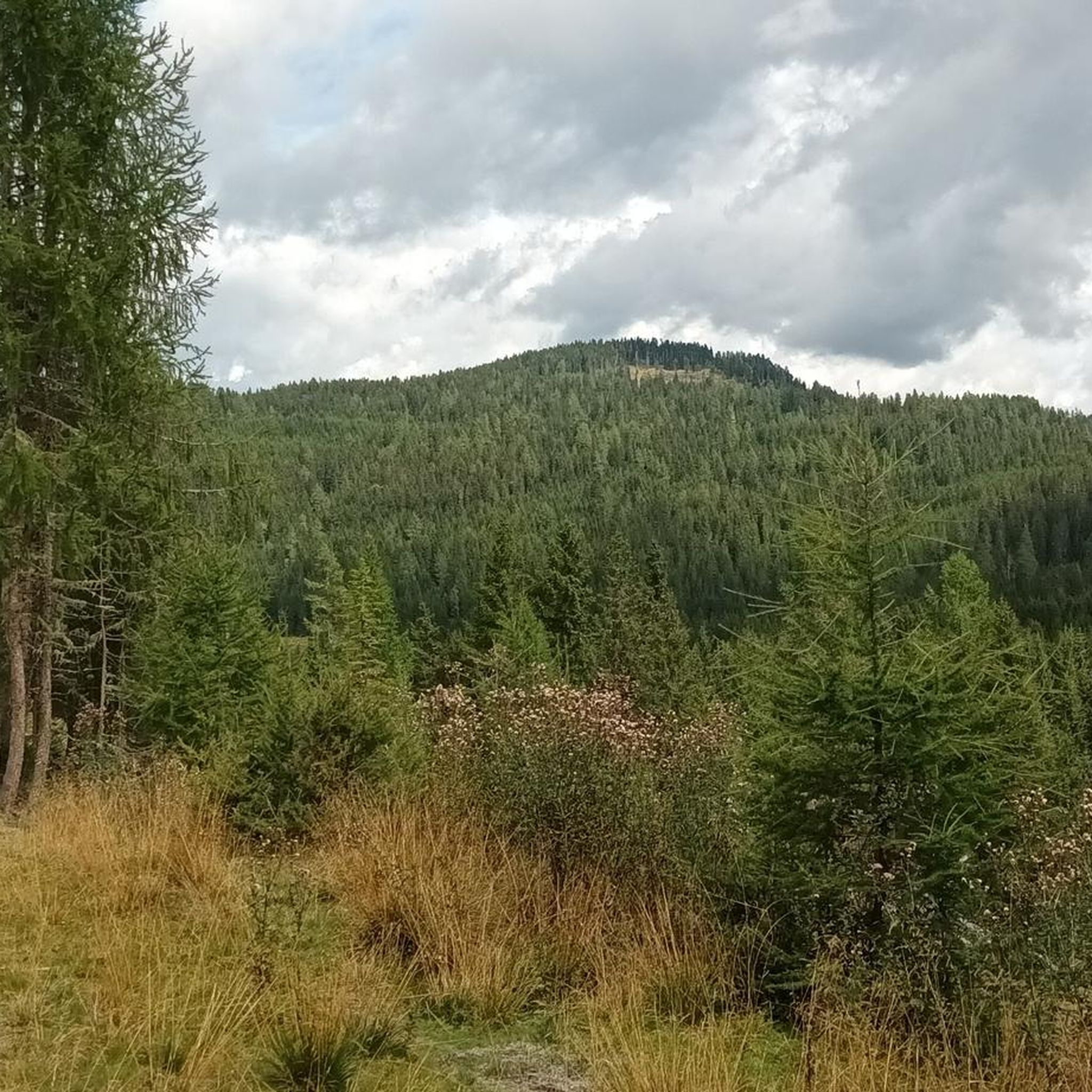
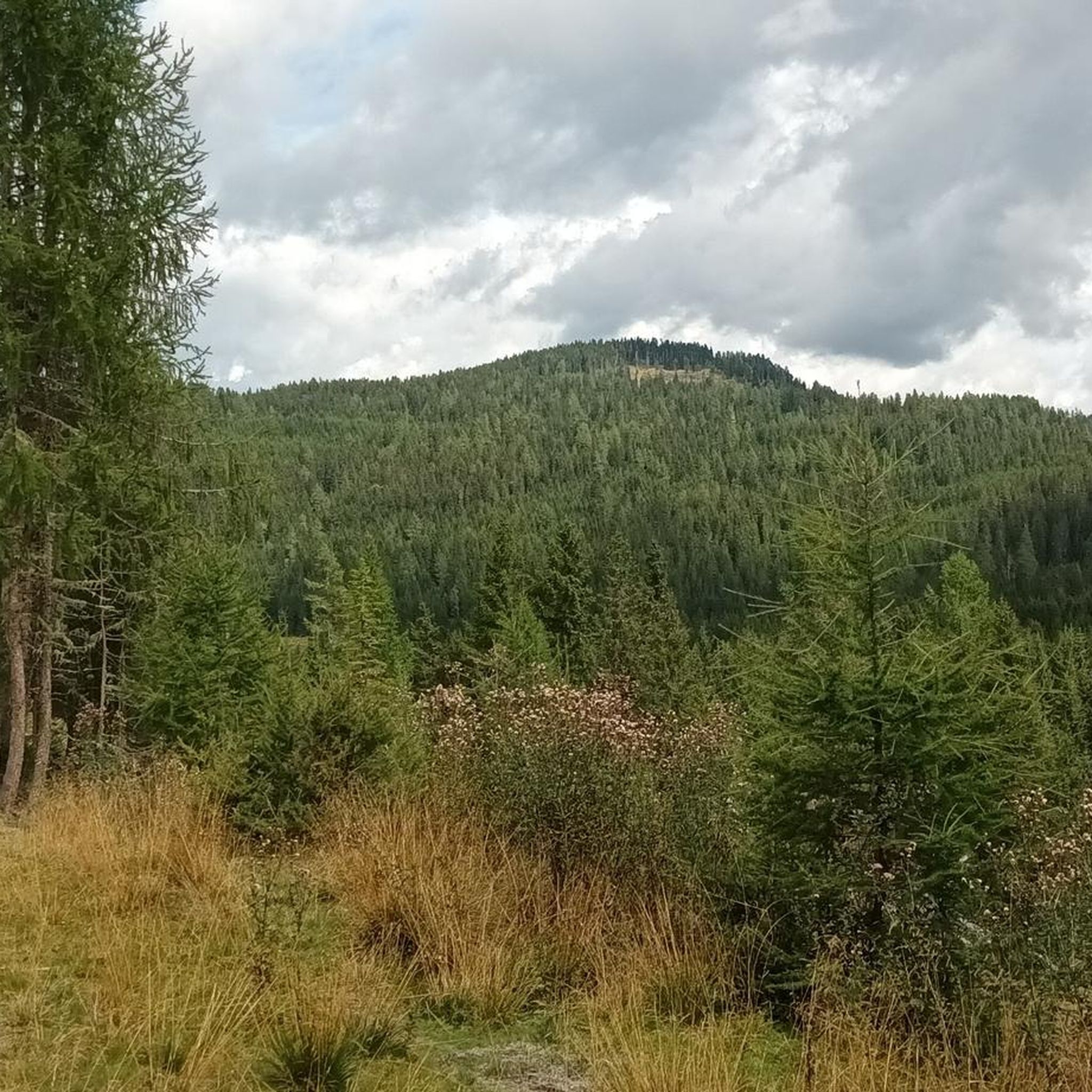
The path that runs west below the Kuster offers you many amazing views of the 1,669 meter high mountain.
0
0
Here you will find a wonderful view of the Wintertaler Nock, which at 2,394 metres stands out quite lonely from the landscape.
1
0

From here you can admire the roaring waterfall in all its beauty. The waterfall, surrounded by dense forest and steep cliffs, offers an impressive sight.
0
0
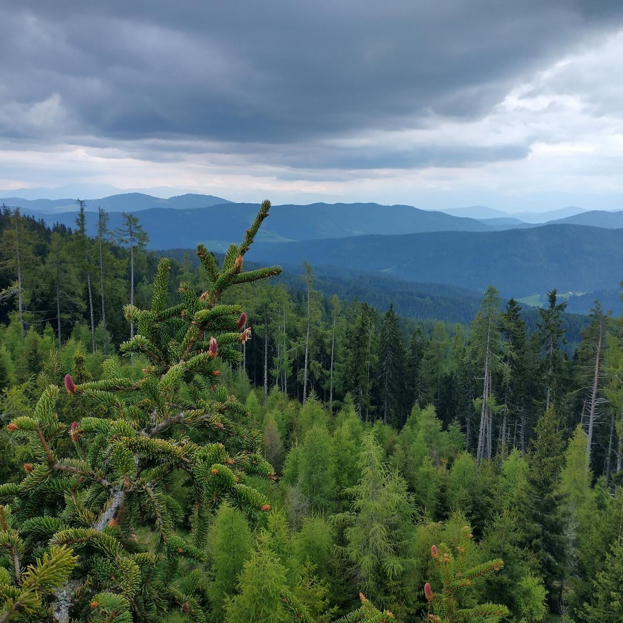
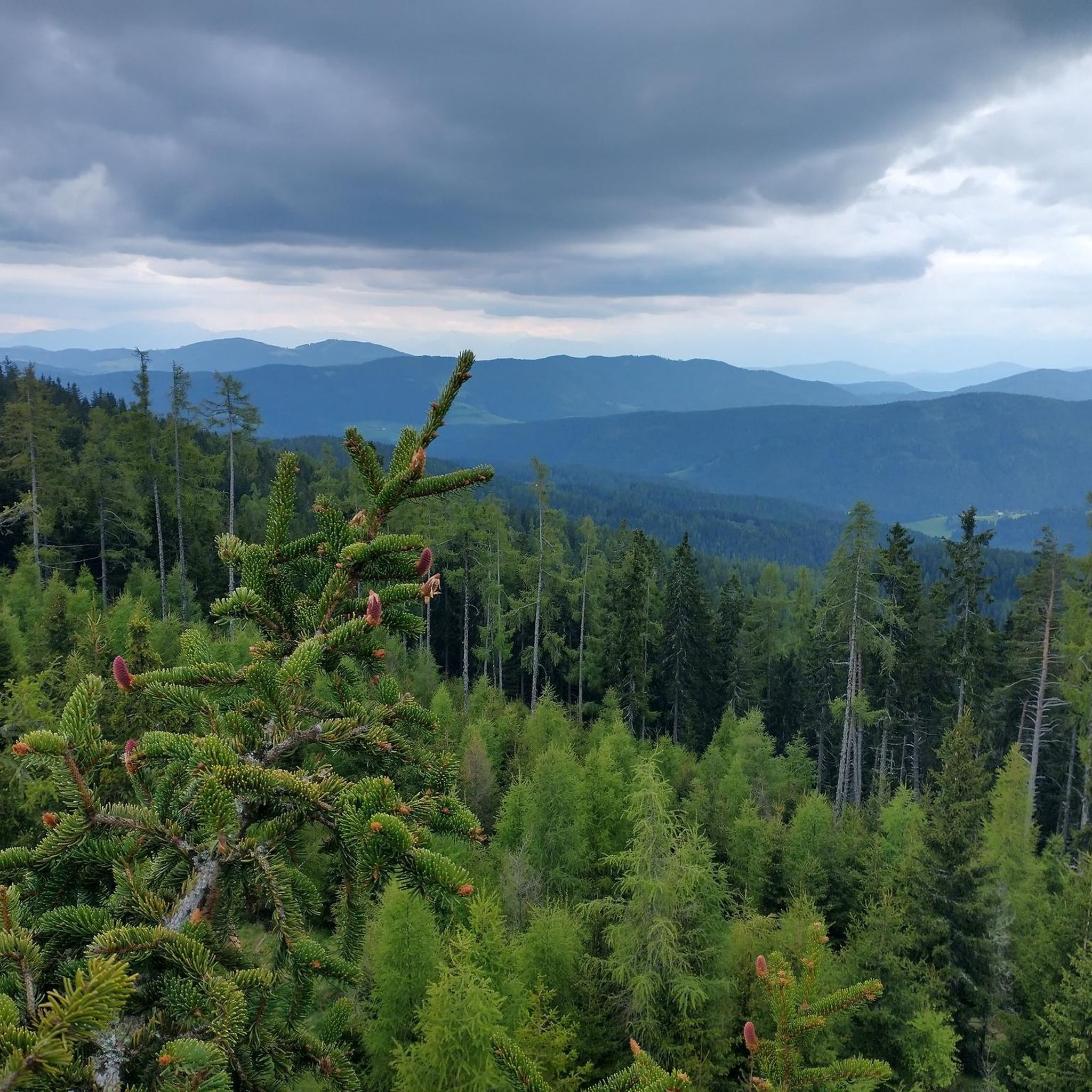
Panoramic view over the Carinthian mountains and the surrounding agricultural areas.
0
0
Frequently Asked Questions
How many mountain bike trails are there around Deutsch-Griffen?
There are over 55 mountain bike trails around Deutsch-Griffen. This includes 8 easy routes, 21 moderate routes, and 26 difficult routes, offering options for various skill levels.
Are there mountain bike trails suitable for beginners in Deutsch-Griffen?
Yes, Deutsch-Griffen offers 8 easy mountain bike routes. These trails typically feature less challenging terrain and elevation changes, making them suitable for those new to mountain biking or looking for a more relaxed ride.
Where can I find challenging mountain bike trails near Deutsch-Griffen?
For experienced riders seeking a challenge, there are 26 difficult mountain bike trails in the region. One such route is the Shelter below the Lattersteig – Lattersteighöhe (2,265 m) loop from Albeck, which covers 13.2 miles (21.2 km) with significant elevation gains, often taking nearly 3 hours to complete.
What is the typical length and duration of mountain bike trails in Deutsch-Griffen?
The trails vary significantly in length and duration. For example, the Lattersteig Trail – Benches in the Forest loop from Albeck is 11.2 miles (18.0 km) and takes about 2 hours, while the Goggausee – Municipal Bath Goggausee loop from Glödnitz is a longer 25.6 miles (41.2 km) route, typically completed in around 3 hours.
Are there any circular mountain bike trails in Deutsch-Griffen?
Many mountain bike trails in Deutsch-Griffen are designed as loops, allowing you to start and end at the same point. An example is the Maierhoffen – View of Wintertaler Nock loop from Flattnitzer Höhe, a moderate 12.4 miles (19.9 km) path offering expansive views.
What kind of scenery can I expect on mountain bike trails around Deutsch-Griffen?
Mountain biking around Deutsch-Griffen offers diverse scenery, characterized by rolling hills, dense forests, open meadows, and significant elevation changes. Many routes traverse through wooded areas and past small lakes, with some trails leading to higher viewpoints offering mountain views.
Are there any lakes or natural attractions along the mountain bike trails?
Yes, the region features several beautiful lakes and natural attractions. You might encounter places like Green Lake, Turrach Lake, or Schwarzsee (Turrach Heights). Some trails also pass by the Schoberriegel Summit or the Hochmoor Trail.
What is the best time of year for mountain biking in Deutsch-Griffen?
The best time for mountain biking in Deutsch-Griffen is typically from late spring through early autumn (May to October). During these months, the weather is generally mild, and the trails are clear of snow, offering optimal riding conditions and vibrant natural scenery.
Is parking available at the trailheads in Deutsch-Griffen?
Many popular trailheads and starting points for mountain bike routes in Deutsch-Griffen offer designated parking areas. It's advisable to check the specific route details on komoot for information on parking availability at your chosen starting point.
Are there cafes or places to eat near the mountain bike trails in Deutsch-Griffen?
While Deutsch-Griffen is known for its natural landscapes, you can find cafes and eateries in the main villages and towns within the region. Some longer routes might pass by mountain huts or guesthouses where refreshments are available. Planning your route with komoot can help identify such spots.
What do other mountain bikers say about the trails in Deutsch-Griffen?
The mountain bike trails in Deutsch-Griffen are highly rated by the komoot community, with an average score of 4.5 stars from over 180 reviews. Nearly 1,000 mountain bikers have used komoot to explore the varied terrain, often praising the diverse landscape of forested hills, open valleys, and scenic mountain views.
Most popular routes around Deutsch-Griffen
Most popular attractions around Deutsch-Griffen

Get inspired with the komoot mobile app


Explore more
Browse the best MTB trails in other regions.
